The best hikes from bus stations in Haute Côte / Archipel De Kvarken
4.7
(1757)
8,327
hikers
20
hikes
Bus station hiking trails in Haute Côte / Archipel De Kvarken traverse a unique landscape shaped by ongoing land uplift and glacial activity. This UNESCO World Heritage Site features a diverse topography, ranging from the hilly, dramatic High Coast with steep shores and deep inlets, to the thousands of low-lying islands and shallow bays of the Kvarken Archipelago. The region is characterized by its dynamic coastline, where bays transform into lakes and marshes, alongside glacial formations like De Geer moraines.
…Last updated: July 9, 2026
37.8km
10:38
770m
770m
Hard hike. Very good fitness required. Easily-accessible paths. Suitable for all skill levels.
4.7
(37)
150
hikers
Easy hike. Great for any fitness level. Easily-accessible paths. Suitable for all skill levels.

Sign up for free
4.8
(25)
110
hikers
3.70km
01:02
80m
80m
Easy hike. Great for any fitness level. Easily-accessible paths. Suitable for all skill levels.
4.8
(29)
95
hikers
Moderate hike. Good fitness required. Easily-accessible paths. Suitable for all skill levels.
4.8
(6)
63
hikers
Hard hike. Very good fitness required. Mostly accessible paths. Sure-footedness required.
Get access to more routes and recommendations from other explorers.
Sign up for free
Already have an account?
Our route recommendations are based on thousands of hikes, rides, and runs completed by other people on komoot.
Start today with a free account
Your next adventure awaits.
Login or Signup
Popular around Haute Côte / Archipel De Kvarken
Other adventures in Haute Côte / Archipel De Kvarken


Tips from the Community

We were out and about in coastal fog - very picturesque
0
0

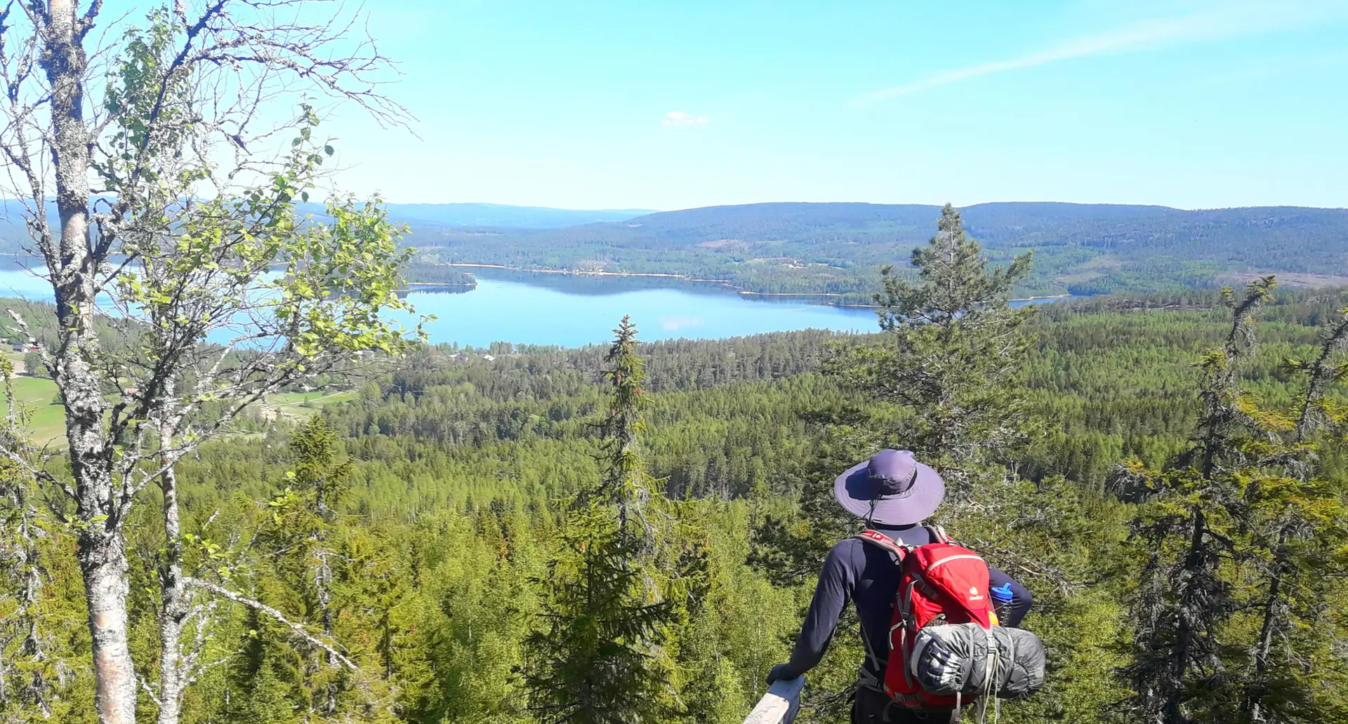
Fantastic view from the summit. Barbecue area and overnight accommodation. Cooking area in the hut. Restrooms, and a wood storage facility next door.
0
0

Easy crossing between the archipelago. You can also operate the ferry yourself using a PIN code obtained via an online link. See the information board at the ferry terminal.
1
0
Magnificent view over the archipelago in the Kvarken. We were lucky enough to get an introduction to the area from a guide.
1
0

Here we go along this beautiful lake. You're sure to find a place or two to rest.
0
0

Spectacular view over the landscape.
2
0

The view from the observation tower is outstandingly beautiful! This nature is unique!
5
0
The many stones and rocks reflect the tremendous power of the Ice Age that created this archipelago.
5
0
Frequently Asked Questions
How many bus-accessible hiking trails are available in Haute Côte / Archipel De Kvarken?
There are over 20 bus-accessible hiking trails in the Haute Côte / Archipel De Kvarken region. These routes range from easy strolls to more challenging treks, ensuring options for various fitness levels.
What kind of terrain can I expect on bus-accessible hikes in Haute Côte / Archipel De Kvarken?
The terrain varies significantly across the region. In the Swedish High Coast, you'll find hilly, dramatic landscapes with steep shores and forests, while the Finnish Kvarken Archipelago features thousands of low-lying islands, shallow bays, and massive boulder fields. Many trails are well-maintained, but some can be rugged, reflecting the unique geological processes of land uplift.
Are there easy hikes accessible by bus for beginners or families?
Yes, there are several easy routes perfect for beginners or families. For example, the Norrfällsviken Coastline – Viewing Platform at Bjuröklubb loop offers a pleasant 5 km walk. Another accessible option is the View of the High Coast Bridge loop, which is just under 4 km and provides scenic views.
Can I bring my dog on these bus-accessible trails?
Many trails in the Haute Côte / Archipel De Kvarken region are dog-friendly, but it's always best to check local regulations for specific areas, especially within national parks or nature reserves. Always keep your dog on a leash and clean up after them to protect the delicate ecosystem.
What interesting natural features or landmarks can I see on these trails?
The region is a UNESCO World Heritage Site, famous for its ongoing land uplift. You can observe unique glacial formations, flads (lagoons), and dramatic coastal changes. Highlights include the Valkallen Summit and Cabin for panoramic views, or the Saltkaret Observation Tower area, which offers excellent views of the distinctive De Geer moraines.
What makes the landscape of Haute Côte / Archipel De Kvarken unique for hiking?
The region is globally unique due to its rapid and ongoing land uplift, a phenomenon where the land continues to rise at 8-9 millimeters per year since the last Ice Age. This constant reshaping creates a dynamic landscape of new islands, expanding peninsulas, and evolving bays, offering hikers a chance to witness geological processes in action. It's the best place globally to understand post-glacial rebound. For more information, you can visit the UNESCO World Heritage site.
Are there any viewpoints easily reachable from a bus station?
Yes, several trails offer stunning viewpoints accessible by bus. The View of the High Coast Bridge loop provides excellent vistas of the iconic bridge. For a more challenging ascent, the Valkallen Summit and Cabin loop leads to the Valkallen Summit, offering expansive views of the coastline and the Höga Kusten Bridge.
What is the best time of year to hike from bus stations in this region?
The best time for hiking is typically from late spring to early autumn (May to September). During these months, the weather is milder, trails are generally clear of snow, and public transport schedules are often more frequent. Autumn also offers beautiful fall foliage.
Are there any longer, more challenging bus-accessible hikes?
For experienced hikers seeking a challenge, the Vildmarksleden is a difficult, nearly 38 km route that can be accessed via public transport. Another demanding option is the Valkallen Summit and Cabin loop, which covers almost 30 km with significant elevation gain.
What do other hikers enjoy most about hiking in Haute Côte / Archipel De Kvarken?
The area is highly rated by the komoot community, with an average score of 4.7 stars. Reviewers often praise the dramatic coastal scenery, the unique geological formations, and the well-maintained trails that offer a mix of forest and sea views. The accessibility of many trailheads by bus is also frequently highlighted as a major convenience.
Are there any trails suitable for winter hiking from a bus station?
While many trails are accessible year-round, winter hiking requires proper gear and preparation due to snow and ice. Some shorter, well-maintained paths might be suitable, but longer or more remote trails can be challenging. Always check local conditions and public transport availability, as services may be reduced in winter.
Most popular routes in Haute Côte / Archipel De Kvarken
Most popular attractions in Haute Côte / Archipel De Kvarken

Get inspired with the komoot mobile app


Explore more
Browse the best Hikes in other regions.
