The best hikes from bus stations in Thayatal National Park
4.7
(839)
4,636
hikers
13
hikes
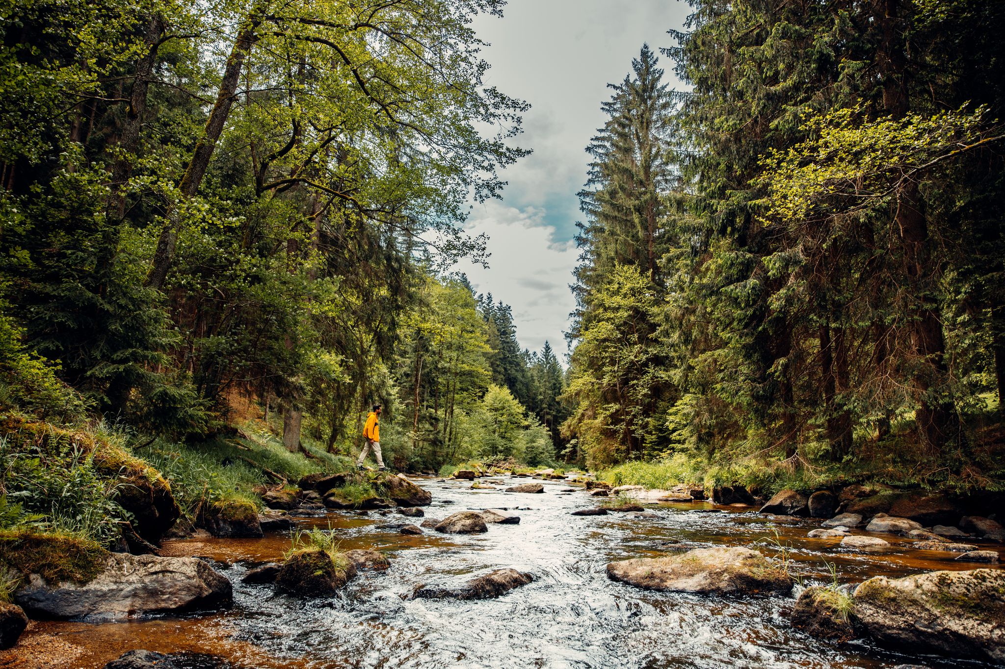
Hiking in Thayatal National Park is characterized by the Thaya River, which carves a deep valley through dense forests and unique gneiss slopes. The terrain includes varied woodlands, soft meadows, and dry grasslands, with elevations ranging from river level to the 378-meter Umlaufberg peak. This cross-border protected area offers a network of trails through one of Central Europe's last natural valley landscapes.
Best bus station hiking trails in Thayatal National Park
- The most popular bus station hiking route is Thayatalweg…
Last updated: June 29, 2026
4.9
(78)
222
hikers
11.1km
03:06
230m
160m
Moderate hike. Good fitness required. Mostly accessible paths. Sure-footedness required.
4.9
(12)
73
hikers
5.24km
01:32
140m
140m
Easy hike. Great for any fitness level. Easily-accessible paths. Suitable for all skill levels.

Sign up for free
4.7
(20)
131
hikers
Easy hike. Great for any fitness level. Easily-accessible paths. Suitable for all skill levels.
4.6
(7)
46
hikers
Hard hike. Very good fitness required. Easily-accessible paths. Suitable for all skill levels.
4.9
(7)
44
hikers
3.03km
00:57
110m
110m
Easy hike. Great for any fitness level. Easily-accessible paths. Suitable for all skill levels.
Get access to more routes and recommendations from other explorers.
Sign up for free
Already have an account?
Our route recommendations are based on thousands of hikes, rides, and runs completed by other people on komoot.
Start today with a free account
Your next adventure awaits.
Login or Signup
Other adventures in Thayatal National Park


Tips from the Community

Actually a medieval defense tower, as part of the former fortifications.
0
0

Dream view of the Thaya loop 🥰
0
0

Very beautiful, natural hiking trail on the banks of the Thaya, alternative (roundabout) route to the Hardegger Warte.
1
0

The castle is definitely worth a visit!
0
0
Customs house, located on the way
0
1
Beautiful rest area with benches and a lounger on the Thaya. The suspension bridge and the Hermit Rock are in the immediate vicinity. Ideal for children to run around and maybe even play in the water.
1
0
The story behind it is rather sad.
1
0
Former Czech customs house, today a small information point for the Narodni Park Podyji and a gallery about the history of the Thayatal Bridge. A detour is worthwhile!
1
0
Frequently Asked Questions
How many bus-accessible hiking trails are available in Thayatal National Park?
There are 13 bus-accessible hiking trails in Thayatal National Park featured in this guide. These routes offer a variety of experiences, from easy strolls to more challenging excursions through the park's diverse landscapes.
Are there easy bus-accessible hikes suitable for beginners or families?
Yes, Thayatal National Park offers several easy bus-accessible hikes perfect for beginners or families. For instance, the Hardegg circular hiking trail is an easy 5.2 km loop. Another great option is the Hardegg – Clock Tower of Hardegg loop, which is just over 3 km and also rated easy. The region research also highlights the Einsiedlerweg – Wildkatzenwanderweg Trail as ideal for families, offering picturesque views of the Thaya and Hardegg Castle.
Can I find circular hiking routes starting from bus stations in Thayatal National Park?
Absolutely. Many of the bus-accessible trails in Thayatal National Park are circular, allowing you to return to your starting point without retracing your steps. The Hardegg circular hiking trail is a prime example, offering a scenic loop. Another option is the Thaya Valley Suspension Bridge – Thaya River Rest Area loop.
What kind of terrain can I expect on bus-accessible trails in Thayatal National Park?
The terrain in Thayatal National Park is quite varied. You can expect paths winding through dense forests, along the meandering Thaya River, and across soft meadows and dry grasslands. Some sections, particularly along the riverbanks, feature unique gneiss slopes and can be steep, requiring sturdy footwear. The park is known for its stunning gorge valley, so expect some elevation changes and impressive vistas.
What historical sites or natural landmarks can I see on bus-accessible hikes?
Many bus-accessible hikes offer access to significant landmarks. You can explore historic sites like Hardegg Castle and the Kaja Castle Ruins. Natural highlights include the picturesque Kajabach Valley and the impressive View of the Thaya River bend from Umlaufberg. The Vranov nad Dyjí Castle – View of Hardegg Castle loop offers views of both castles.
Are there good viewpoints along the bus-accessible trails in Thayatal National Park?
Yes, Thayatal National Park is rich with impressive viewpoints. The Umlaufberg, a prominent peak, offers fantastic panoramic views of the surrounding forests and the Thaya River. You can experience this on routes like the Thayatalweg. Numerous observation points throughout the park provide stunning vistas of the river and its forested landscape, such as the View of the Thaya River bend from Umlaufberg.
When is the best time of year to hike from bus stations in Thayatal National Park?
The best time for hiking in Thayatal National Park is generally from spring to autumn. During these seasons, the weather is pleasant, and the diverse flora, including Turk's-cap lily and Cornelian cherry, is in bloom or displaying vibrant autumn colors. The dense forests provide shade in summer, while spring and autumn offer comfortable temperatures for longer excursions.
What kind of wildlife might I encounter on these trails?
Thayatal National Park is home to a diverse array of wildlife due to its unique location on a climatic boundary. Hikers might spot elusive wildcats, black storks, European otters, and green lizards. The park also features Austria's largest wildcat enclosure near the National Park House, offering a chance to observe these fascinating animals.
What do other hikers enjoy about the bus-accessible trails in Thayatal National Park?
The bus-accessible trails in Thayatal National Park are highly rated by the komoot community, with an average score of 4.69 out of 5 stars from 788 ratings. Reviewers often praise the well-preserved natural landscapes, the tranquility of the dense forests, and the stunning views of the Thaya River valley. The variety of trails, from easy family-friendly paths to more demanding routes, is also frequently highlighted.
Are there any cross-border hiking opportunities accessible by bus?
Yes, Thayatal National Park forms a larger cross-border protected area with the neighboring Podyjí National Park in the Czech Republic. While specific bus connections directly to cross-border trailheads might vary, routes like the Vranov nad Dyjí Castle – View of Hardegg Castle loop demonstrate the cross-border potential, leading you towards the Czech side. The region research mentions the Retz - Znojmo/Znaim Trail as an extensive cross-border hike, which can be accessed via public transport connections to Retz.
Most popular routes in Thayatal National Park
Most popular attractions in Thayatal National Park

Get inspired with the komoot mobile app


Explore more
Browse the best Hikes in other regions.
