Attractions and Places To See around Riserva naturale del Sasso di Simone - Top 7
Best attractions and places to see around Riserva naturale del Sasso di Simone encompass a range of natural monuments, historical sites, and elevated viewpoints. This region is characterized by its distinct geological features, including prominent rock formations and mountain summits. Visitors can explore the historical remnants of past settlements and enjoy the natural landscape. The area offers opportunities for those interested in both natural history and cultural heritage.
Best attractions and places to see around Riserva naturale del Sasso di…
Last updated: July 1, 2026
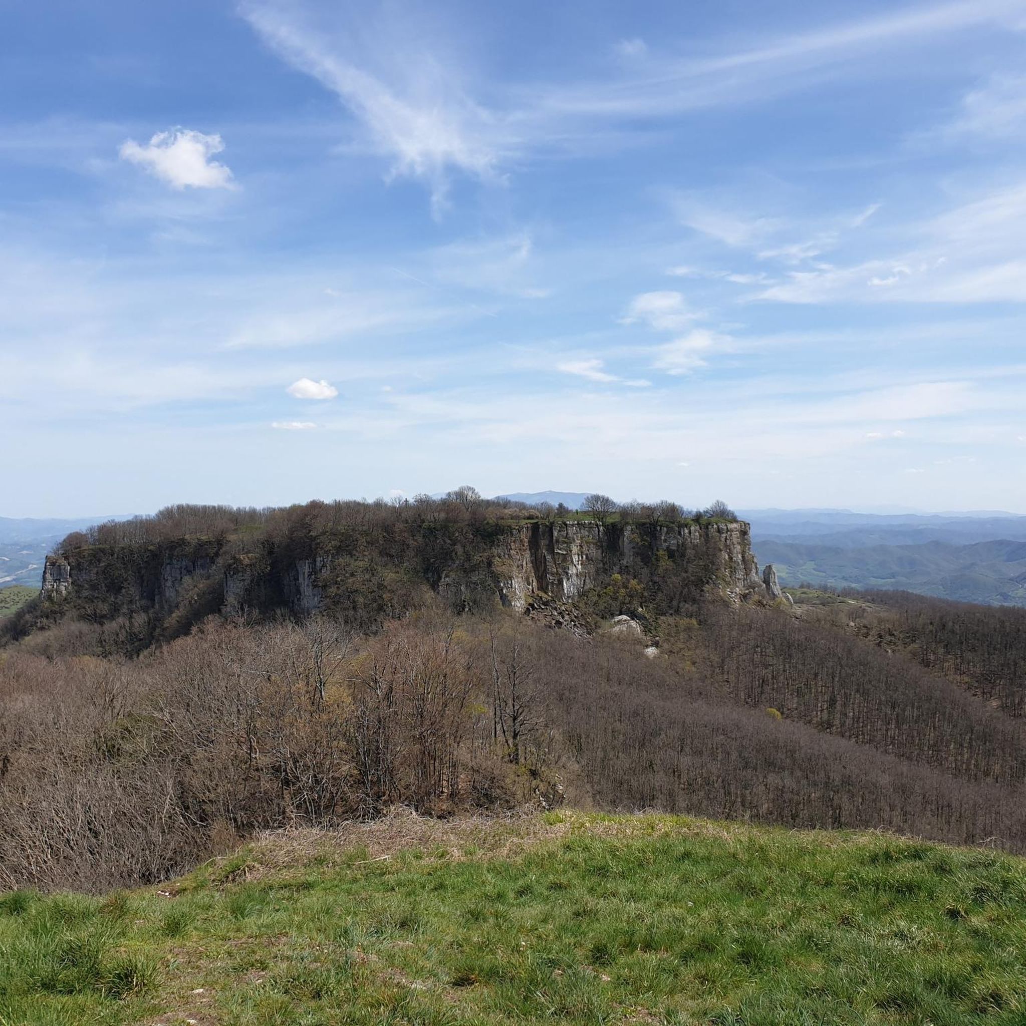
Sasso Simone
Highlight • Natural Monument
Translated by Google •
Tip by

Monte Simoncello
Highlight • Summit
Tip by

Sign up now to discover places like this
Get recommendations on the best single tracks, peaks, & plenty of other exciting outdoor places.
Sign up for free
Ruins of Sasso Simone Fortress
Highlight • Historical Site
Translated by Google •
Tip by

Sella dei Sassi
Highlight • Mountain Pass
Translated by Google •
Tip by

Viewpoint of Sasso di Simone
Highlight • Viewpoint
Translated by Google •
Tip by

Sign up for free to discover even more attractions around Riserva naturale del Sasso di Simone.
Sign up for free
Already have an account?
Start today with a free account
Your next adventure awaits.
Login or Signup
Popular around Riserva naturale del Sasso di Simone
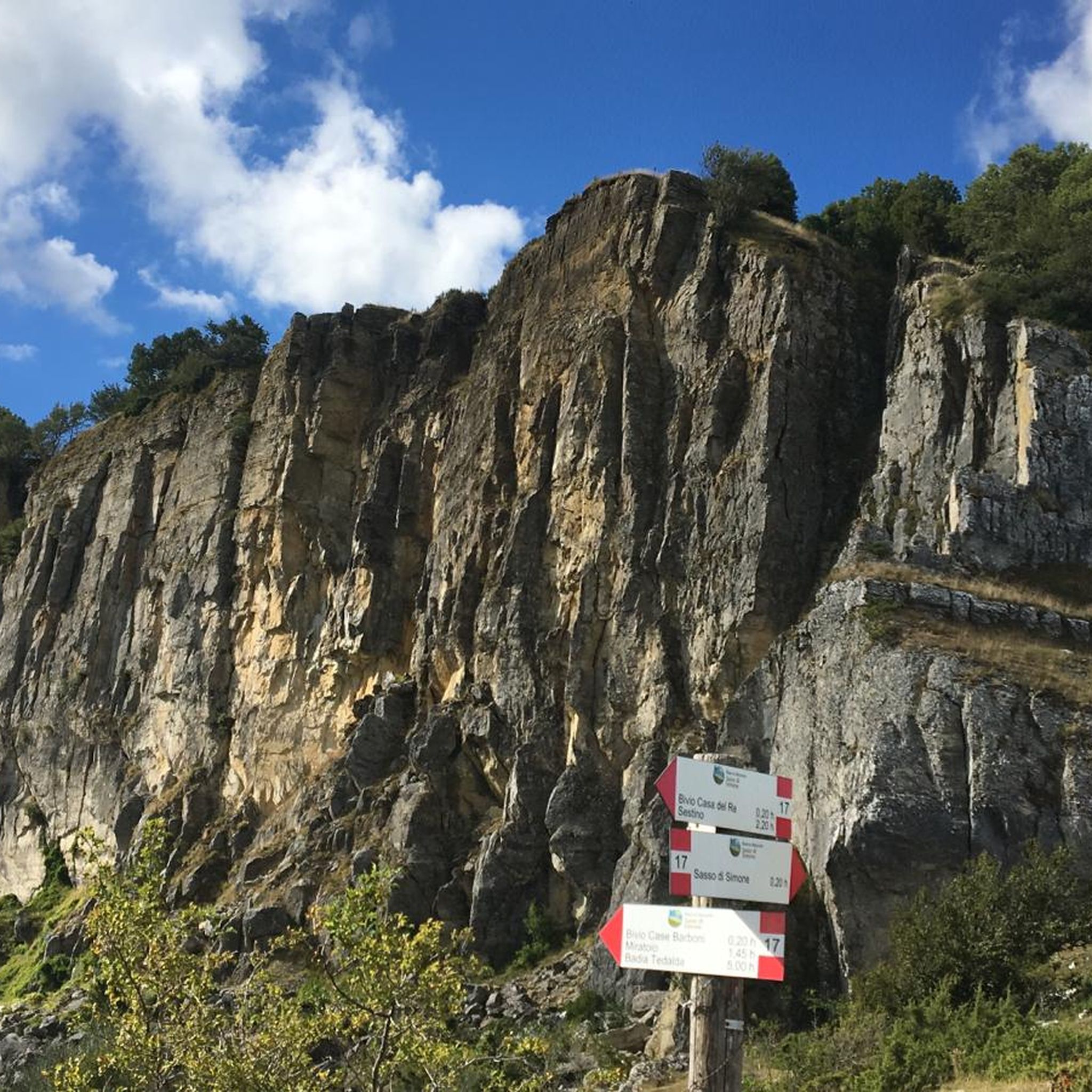
Hiking around Riserva naturale del Sasso di Simone
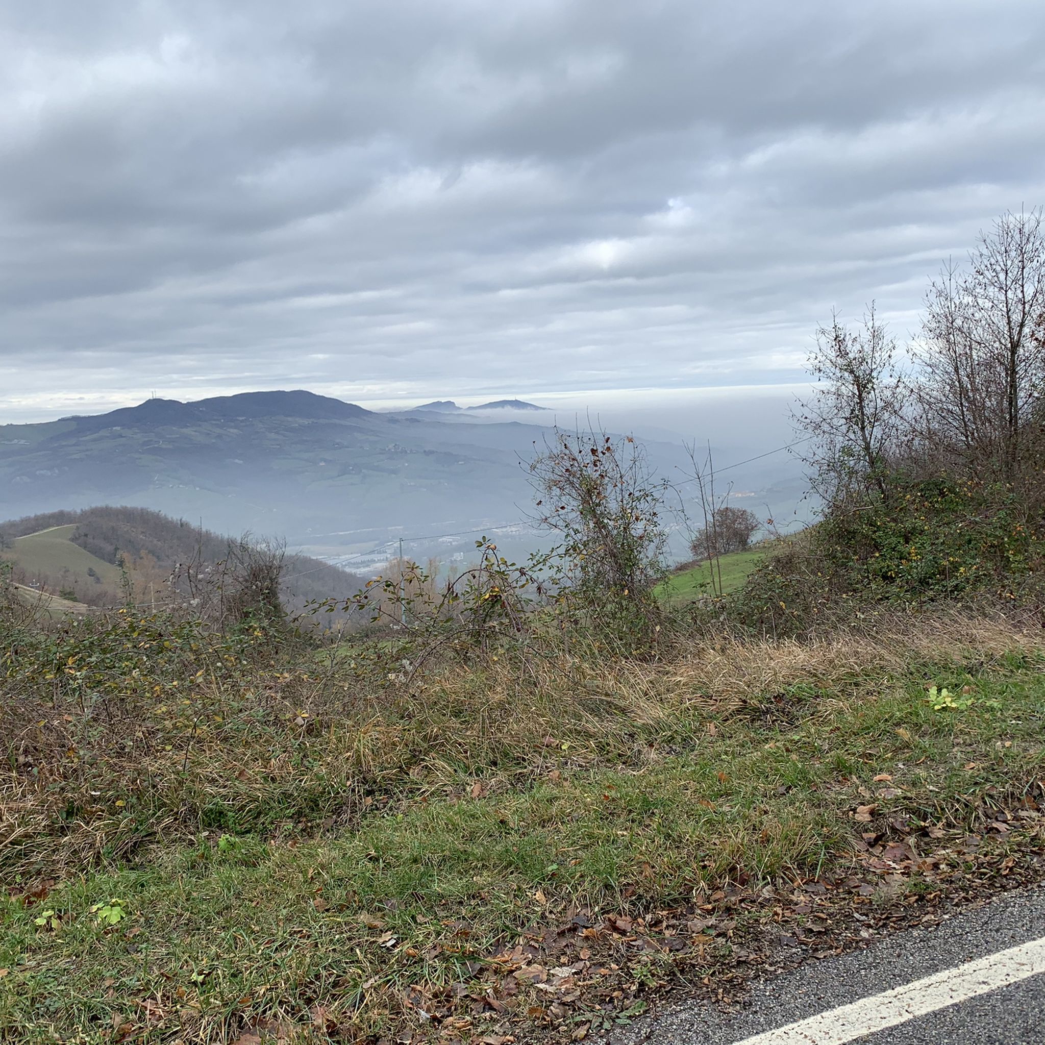
Road Cycling Routes around Riserva naturale del Sasso di Simone
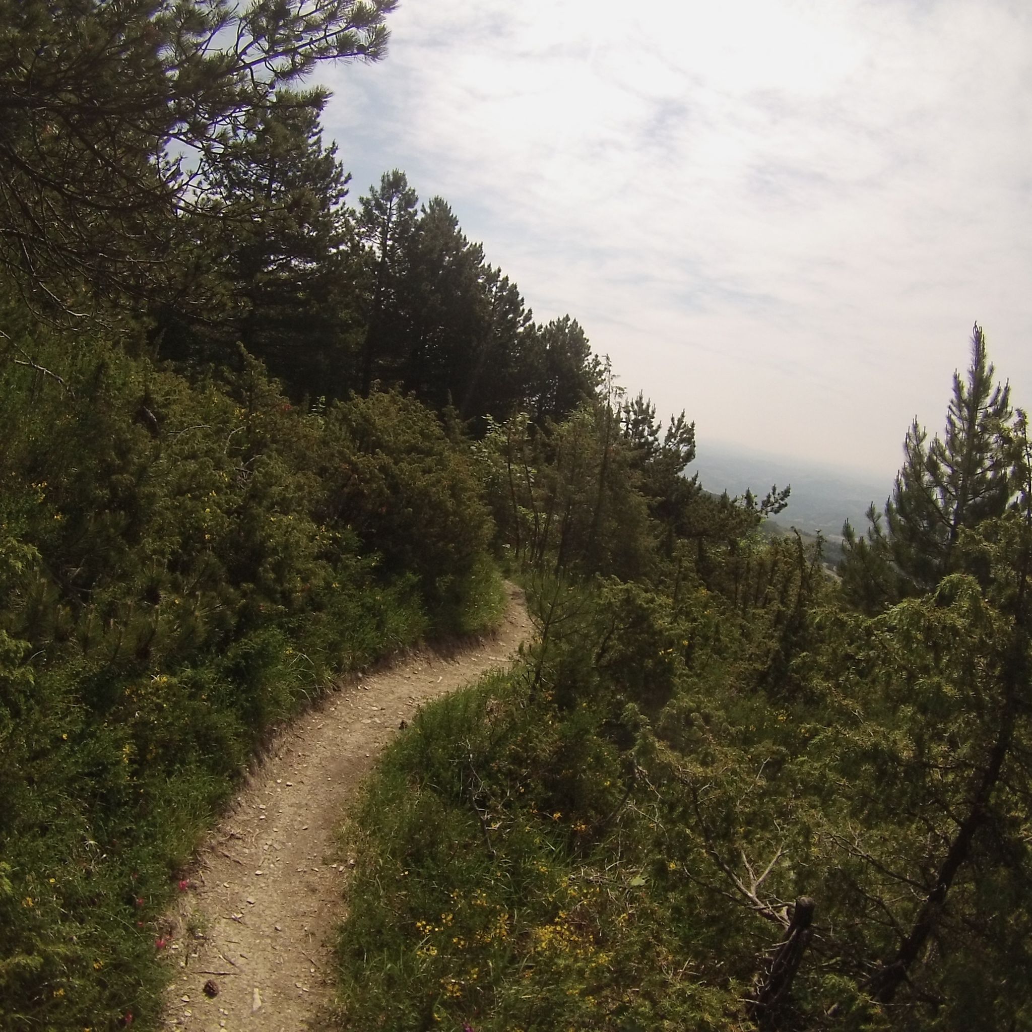
MTB Trails around Riserva naturale del Sasso di Simone
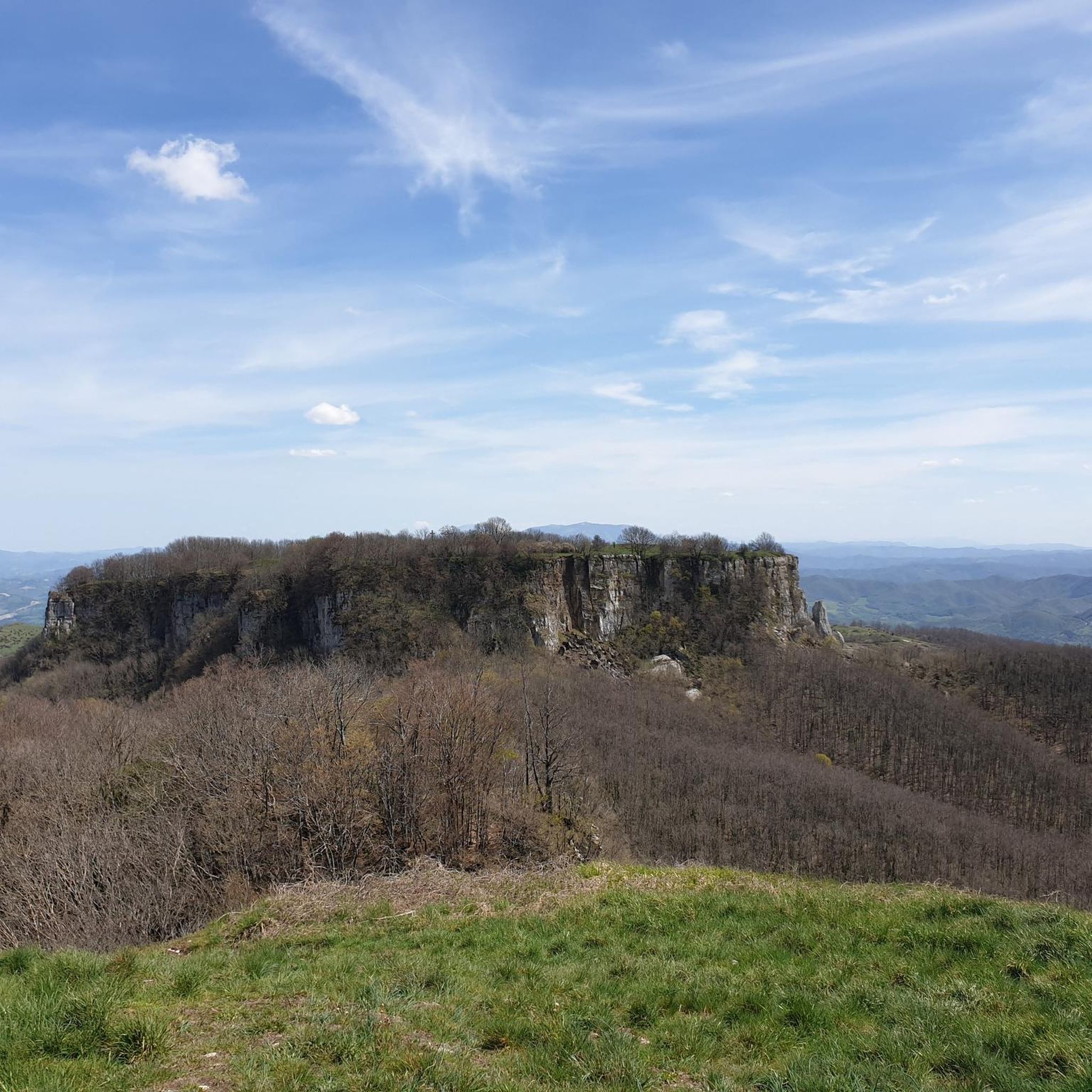
Cycling around Riserva naturale del Sasso di Simone
Running Trails around Riserva naturale del Sasso di Simone
Gravel biking around Riserva naturale del Sasso di Simone
Tips from the Community

Hi, roughly how far is Sasso Simone from Sella dei Sassi? I mean without climbing up 😅. Thanks!
0
0

Conceived by Cosimo I de' Medici in the spring of 1554, on the borders of the Marche on one of the most inaccessible peaks of the Apennines, the fortress city of Sasso Simone was an expression of the ambitious policy of the grand dukes of Tuscany But the daring project soon failed: defeated by the hardships and terrible climatic conditions, the inhabitants fled after just 10 years. The structures began to deteriorate more and more, until, in 1674, the city was already totally ruined and its dismantling was ordered to recover reusable materials.
1
0

The Sassi saddle is located at an altitude of 1,150 metres. This is the pass that separates Sasso di Simone and Mount Simoncello, the latter reachable with a detour that starts right from here.
0
0

Stunning areas, little traffic
0
0

Place to see, ancient fortress commissioned by Cosimo I of which little or nothing remains
0
0

The path from Passo Cantoniera to Sasso Simone is not always accessible, as part of the path is located inside the Military Range of Carpegna. On some days, access is prohibited (on days when fire drills are in progress). The current calendar can be consulted here: parcosimone.it/accessibilita-al-poligono-di-carpegna
2
0
The path from Passo Cantoniera to Sasso Simone is not always accessible, as part of the path is located inside the Military Range of Carpegna. On some days, access is prohibited (on days when fire drills are in progress). The current calendar can be consulted here: http://www.parcosimone.it/accessibilita-al-poligono-di-carpegna/
1
0

There are steel cables that aid the steep ascent, which requires good mobility, and there are some exposed sections, albeit short, that are not negligible. Simoncello is an important mountain in the Apennines, located on the border between Emilia-Romagna (municipality of Pennabilli, in the province of Rimini), Tuscany (municipality of Sestino, in the province of Arezzo), and the Marche (municipality of Carpegna, in the province of Pesaro-Urbino). The summit of the mountain falls entirely within the province of Pesaro and Urbino[1]; it is also entirely included in the Sasso Simone and Simoncello regional natural park. Although the name is a diminutive of the nearby Sasso Simone, Simoncello is actually higher; in fact, it reaches 1,221 meters[2] in altitude compared to Sasso Simone's 1,204. Mount Simoncello forms a middle link in the mountain range that separates the valleys of the Marecchia (to the northwest) and Foglia (to the southeast) rivers. This range continues southward with the Sasso Simone and, further north, also includes Mount Carpegna (1,415 m). Many streams, tributaries of both the Marecchia and Foglia rivers, originate on the slopes of Mount Simoncello. (Wikipedia)
0
0
Frequently Asked Questions
What are the main natural features to explore in Riserva naturale del Sasso di Simone?
The region is dominated by its distinctive geological formations. Key natural features include Sasso Simone, a prominent rock formation, and Monte Simoncello, a summit reaching 1,221 meters. The Sella dei Sassi is a mountain pass that separates these two significant natural monuments.
Are there any historical sites or ruins to visit in the area?
Yes, the area is rich in history. You can explore the Ruins of Sasso Simone Fortress, which was an ambitious fortress city conceived by Cosimo I de' Medici in 1554. Additionally, Sasso Simone itself holds historical significance, featuring remnants of the Medici's Città del Sole.
What kind of hiking trails can I find around Riserva naturale del Sasso di Simone?
The Riserva naturale del Sasso di Simone offers a variety of hiking trails, ranging from easy to challenging. You can find routes like the 'View of Sasso Simono – View of Sasso Simone loop' which is easy, or more moderate options such as 'Sasso di Simone Viewpoint – Sasso Simone loop'. For a comprehensive list of trails, visit the Hiking around Riserva naturale del Sasso di Simone guide.
Are there challenging hikes for experienced trekkers?
Yes, experienced trekkers can find challenging routes. The ascent to Monte Simoncello involves some exposure and requires good mobility, with steel cables aiding the steep sections. You can also find difficult cycling routes in the area, such as those listed in the Cycling around Riserva naturale del Sasso di Simone guide.
What are the best viewpoints in the area?
Several locations offer stunning views. Sasso Simone and Monte Simoncello are both excellent viewpoints, with Monte Simoncello offering panoramic views across the Apennines. The Sella dei Sassi mountain pass also provides scenic vistas.
Are there family-friendly activities or facilities available?
Yes, for families looking for a relaxing break, there is a Picnic Area with Tables and Barbecue. This equipped and shaded area is ideal for a meal outdoors and is considered family-friendly by visitors.
What should I know about accessing Sasso Simone?
It's important to note that the path from Passo Cantoniera to Sasso Simone is not always accessible. Part of the path is located inside the Military Range of Carpegna, and access can be prohibited on days when fire drills are in progress. You should consult the current calendar for accessibility information before planning your visit.
Can I go cycling or road cycling near these attractions?
Absolutely! The region offers numerous routes for both road cycling and general cycling. You can explore guides such as Road Cycling Routes around Riserva naturale del Sasso di Simone and Cycling around Riserva naturale del Sasso di Simone, which feature routes like the 'Cippo di Carpegna Climb' or the 'Pennabilli – Pennabilli loop'.
What do visitors enjoy most about Riserva naturale del Sasso di Simone?
Visitors particularly appreciate the unique combination of natural beauty and historical intrigue. The distinct geological features, panoramic viewpoints, and the historical remnants of the Medici's Città del Sole and the fortress are frequently highlighted. The area's opportunities for outdoor activities, from hiking to cycling, also contribute to its appeal.
Is there parking available at Riserva naturale del Sasso di Simone?
While specific parking locations are not detailed for every highlight, areas like the Picnic Area with Tables and Barbecue are typically accessible by car, suggesting parking facilities are available in designated areas within the reserve or near popular access points. It is advisable to check local signage upon arrival.
What is the best time to visit Riserva naturale del Sasso di Simone?
The best time to visit generally depends on your preferred activities. Spring and autumn offer pleasant temperatures for hiking and exploring the historical sites, with vibrant foliage in autumn. Summer is also popular, especially for enjoying the picnic areas and longer daylight hours, though it can be warmer. Winter can bring snow, offering a different, more serene landscape for those prepared for colder conditions.
Most popular routes around Riserva naturale del Sasso di Simone

Get inspired with the komoot mobile app


Explore more
Still not found the Highlight you’re looking for? See guides of the top attractions in other regions:
