The best hikes from bus stations in Ben Nevis And Glen Coe
4.4
(9132)
64,872
hikers
89
hikes
Bus station hiking trails in Ben Nevis And Glen Coe lead through a landscape shaped by ancient volcanic activity and glaciation, featuring towering mountains, deep glens, and expansive moorland. The region is characterized by dramatic peaks, including Ben Nevis, the UK's highest mountain, and the iconic Three Sisters of Glencoe. Hikers will encounter rugged terrain, impressive waterfalls like Steall Waterfall, and serene lochs, all accessible via public transport.
Best bus station hiking trails in Ben Nevis And Glen Coe
- The most popular bus station hiking route is Aonach Eagach extended traverse from Glencoe to White Corries, a 13.8 miles (22.3 km) trail that takes 7 hours 40 minutes to complete. This difficult route offers challenging ridge walking with panoramic views of the Glencoe valley.
- Another top favourite among local hikers is Glen Nevis – Red Burn Waterfall loop from Glen Nevis, a moderate 5.6 miles (9.0 km) path. This trail winds through Glen Nevis, offering views of waterfalls and the surrounding mountain scenery.
- Local hikers also love the Ben Nevis Stepping-Stone Path – Glen Nevis loop from Glen Nevis, a 2.7 miles (4.3 km) trail leading through the lower slopes of Ben Nevis and along the River Nevis, often completed in about 1 hour 30 minutes.
- Hiking in Ben Nevis And Glen Coe is defined by high mountains, deep glens, and impressive waterfalls. The network offers options for various ability levels, from challenging mountain ascents to more accessible valley walks.
- The routes in Ben Nevis And Glen Coe are highly rated by the komoot community with an average score of 4.4 stars from more than 7,000 reviews. More than 54,000 hikers have used komoot to explore Ben Nevis And Glen Coe's varied terrain.
Last updated: October 3, 2026
4
hikers
22.3km
07:41
1,310m
1,030m
Hike the Aonach Eagach extended traverse, a difficult 13.8-mile route in Glencoe National Nature Reserve with 4302 feet of elevation gain.
4.5
(175)
1,150
hikers
10.1km
04:25
670m
670m
Moderate hike. Good fitness required. Mostly accessible paths. Sure-footedness required.

4.9
(37)
423
hikers
13.6km
05:32
1,070m
1,070m
Hard hike. Very good fitness required. Easily-accessible paths. Suitable for all skill levels.
4.6
(89)
339
hikers
14.2km
04:14
390m
390m
Moderate hike. Good fitness required. Easily-accessible paths. Suitable for all skill levels.
4.4
(91)
390
hikers
9.28km
02:52
360m
360m
Moderate hike. Good fitness required. Easily-accessible paths. Suitable for all skill levels.
Get access to more routes and recommendations from other explorers.
Already have an account?
Our route recommendations are based on thousands of hikes, rides, and runs completed by other people on komoot.
Start today with a free account
Your next adventure awaits.
Popular around Ben Nevis And Glen Coe
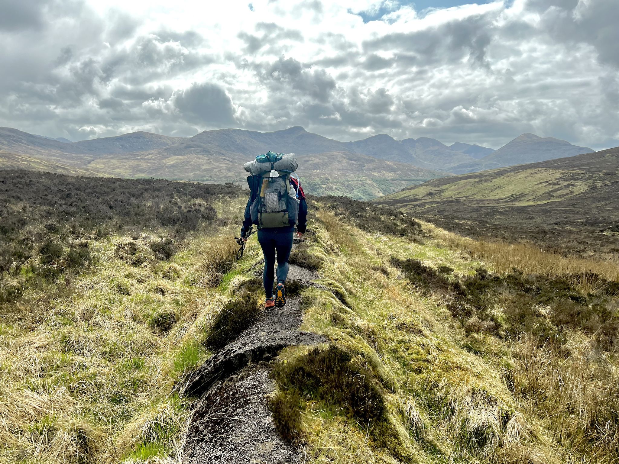
TGO Challenge 2023 – Coast to Coast: Oban to Montrose
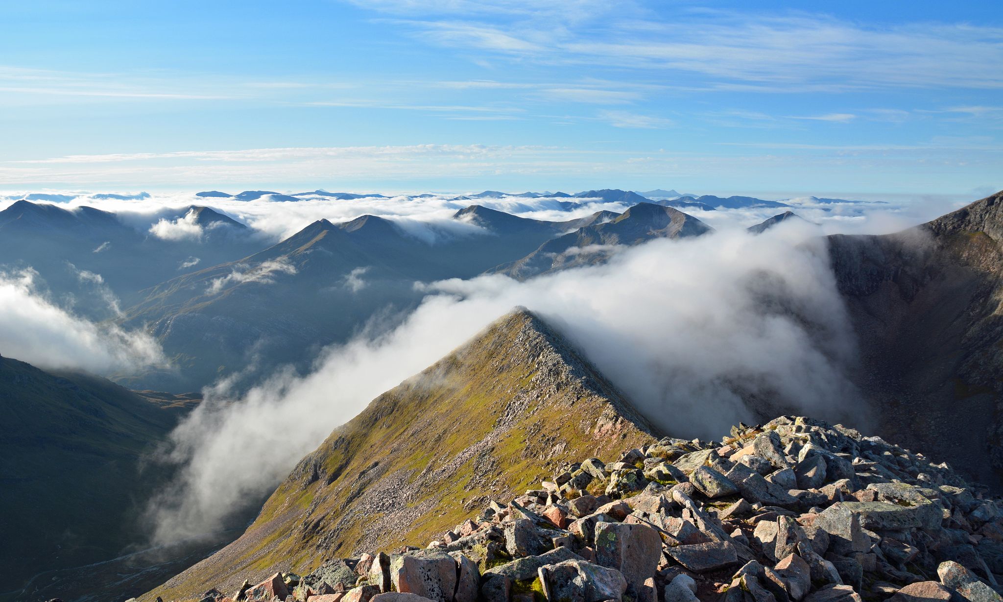
Charlie Ramsay Round — Feet in the clouds, hiking Scotland's Highlands
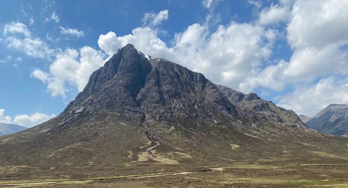
West Highland Way — Hike Scotland's most iconic long distance trail

Tarmac, trails and flow – Europe's best road to trail runs
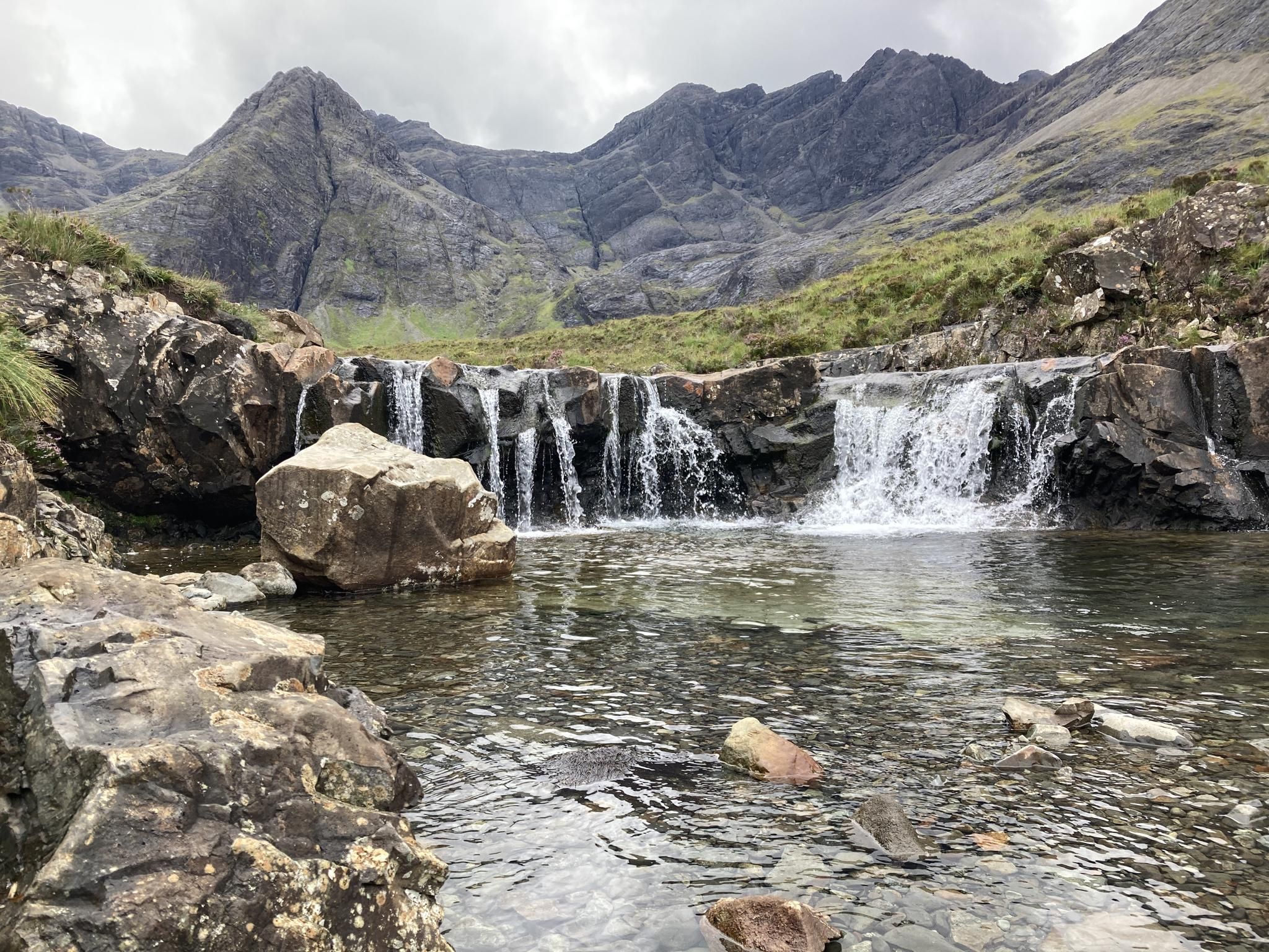
Glistening Lakes and Sublime Cascades – Wild Swim Walks
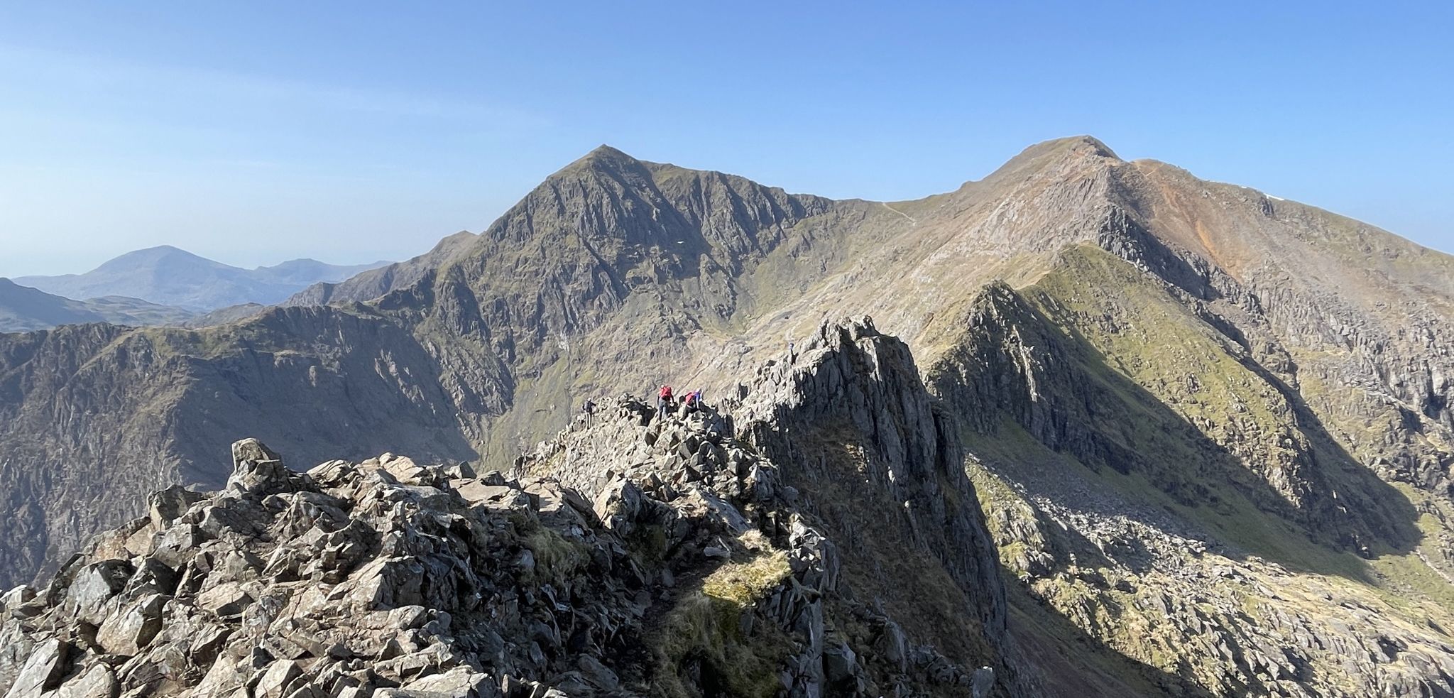
Sublime Ridges and Superb Rock – Awesome British Scrambles
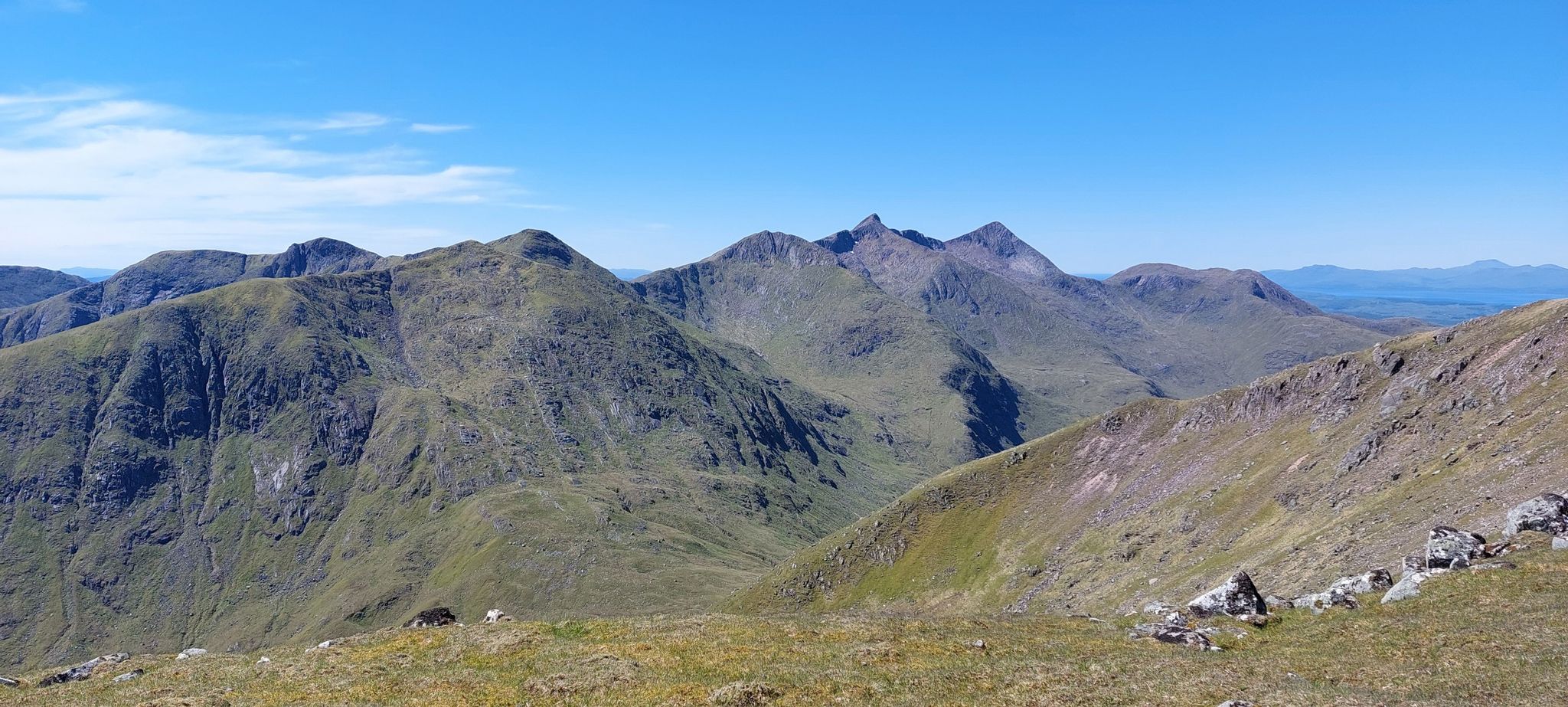
Glorious glens and magical Munros – hiking the Southern Highlands
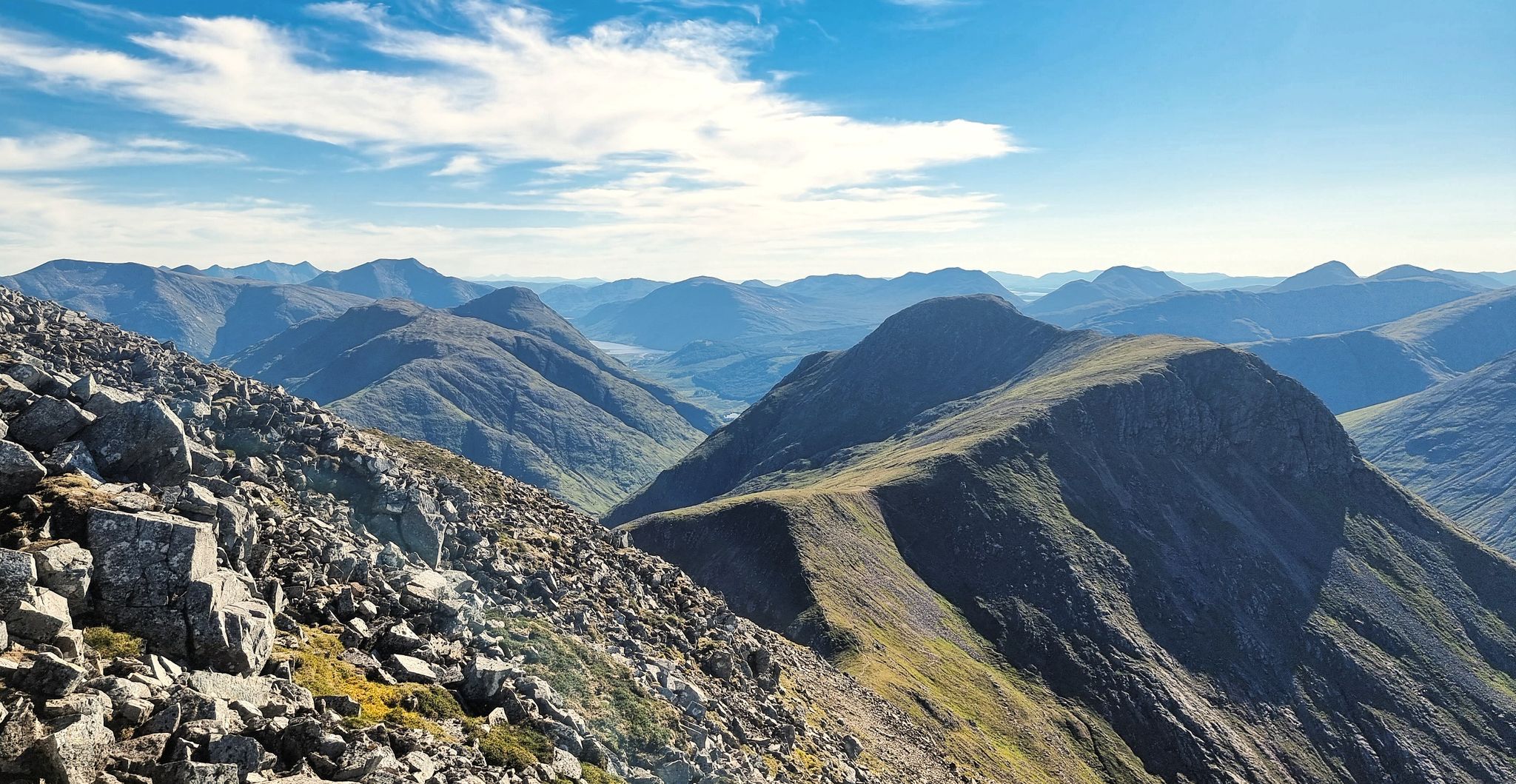
Quintessential Highland adventures — hiking in Glen Coe
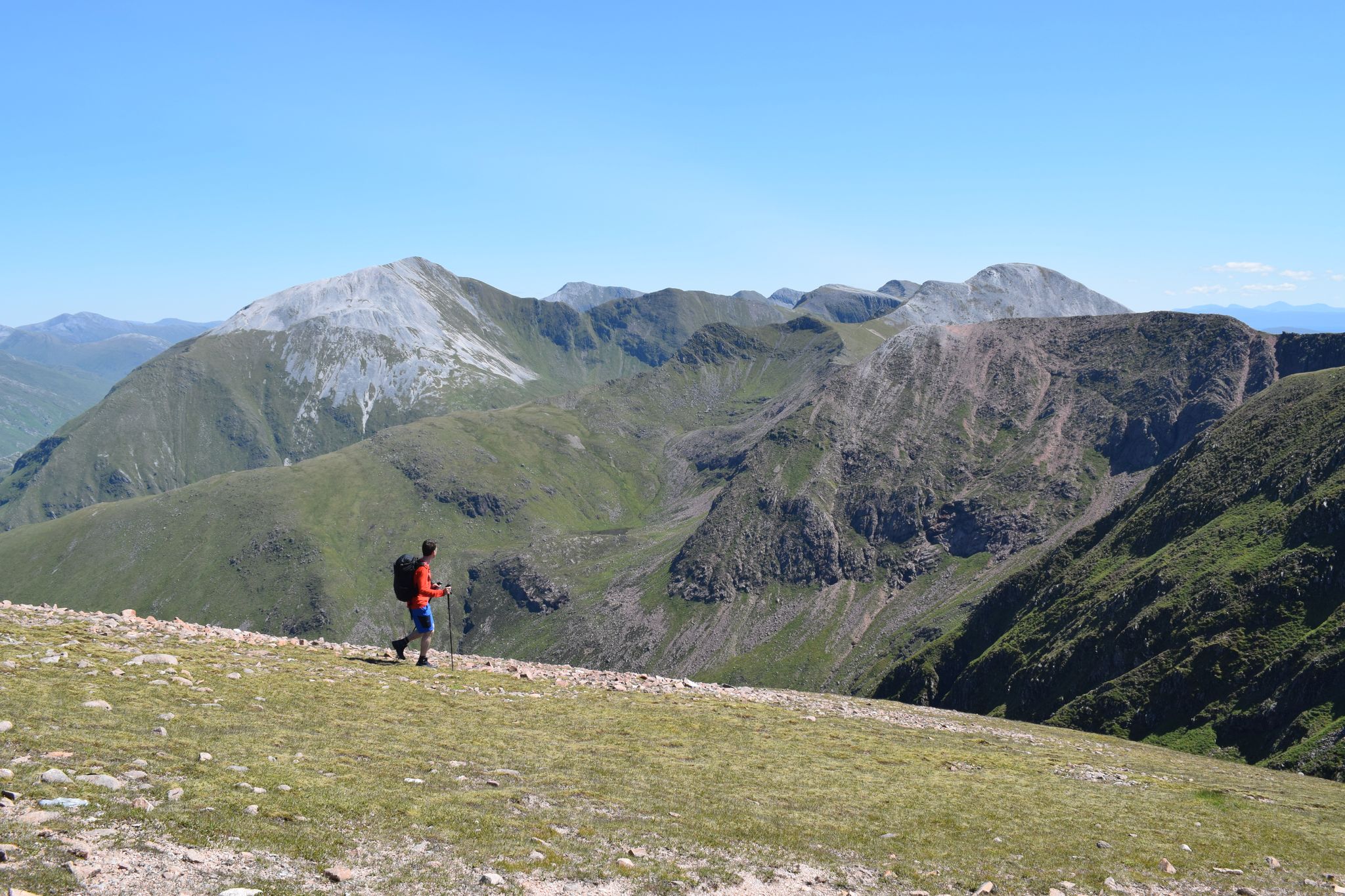
Discover the heart of the Highlands – hiking in Glen Nevis
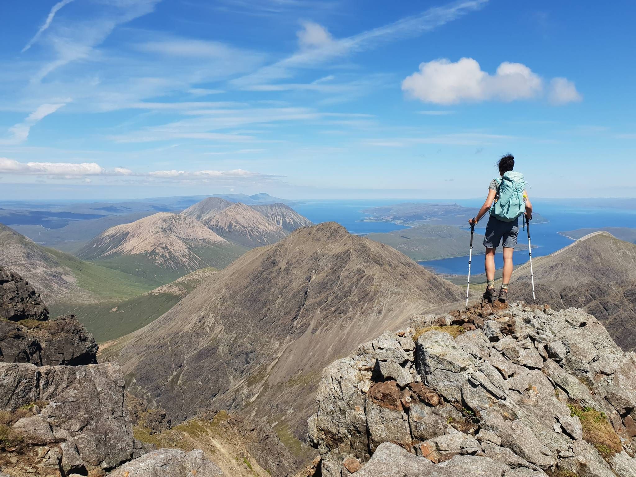
Hiking the 282 munro mountains of Scotland in 95 routes
Other adventures in Ben Nevis And Glen Coe


Tips from the Community

This is a stunning waterfall on Ben Nevis
0
0
This is a stunning mountain waterfall and when you pass it it is even more spectacular
0
0
The waterfalls and streams were as it says idyllic and beautiful
0
0
An absolute stunning views point of Glencoe, when I went they were doing forestry work so had diverts in place but did not stop you from getting to the view
0
0
Absolutely stunning views, but be careful when walking down the hill can be very slippy when wet and muddy and is steep
0
0

Cozy resting place with a bench
7
0
End marked with a sign. Makes for a beautiful photo subject.
7
0
Frequently Asked Questions
How many hiking trails are accessible from bus stations in Ben Nevis and Glen Coe?
There are over 90 hiking trails in Ben Nevis and Glen Coe that are accessible from bus stations. These routes cater to various skill levels, with 23 easy, 45 moderate, and 26 difficult options available.
Are there family-friendly hiking options accessible by bus in Ben Nevis and Glen Coe?
Yes, both regions offer family-friendly hikes accessible by bus. Many routes feature relatively flat terrain or shorter distances suitable for all ages. For example, the Glen Nevis area has trails that lead to scenic spots without requiring strenuous climbs. Look for routes marked as 'easy' in the guide for the most suitable options.
What kind of terrain can I expect on bus-accessible hikes in Ben Nevis and Glen Coe?
The terrain varies significantly. In Glen Nevis, you'll find paths ranging from well-maintained tracks to more rugged, rocky sections, especially as you approach higher elevations. Glen Coe offers dramatic glens with paths through valleys and challenging mountain ascents. Expect a mix of gravel paths, grassy trails, and sometimes boggy ground, particularly after rain. Always wear appropriate footwear.
Are there any circular hiking routes from bus stations in Ben Nevis and Glen Coe?
Yes, there are several circular routes designed to bring you back to your starting point, often near a bus stop. An example in Glen Nevis is the Glen Nevis – Red Burn Waterfall loop from Glen Nevis, which offers a moderate challenge. In the Ben Nevis area, you can find loops like the Ben Nevis viewpoint loop from Glen Nevis, providing stunning vistas.
What natural attractions can I see along bus-accessible hiking trails?
The region is rich in natural beauty. In Glen Nevis, you can hike to the stunning Steall Waterfall, Scotland's second-highest waterfall, via routes like the Lower Falls, Glen Nevis – Steall Waterfall loop from Glen Nevis. Glen Coe features iconic landmarks such as the Three Sisters of Glencoe and the majestic Buachaille Etive Mòr. Many trails offer views of these dramatic peaks and deep glens. You can also find highlights like the Ben Nevis summit (from a distance on some trails) and various viewpoints like Trail junction at Lochan Meall an t-Suidhe.
Can I bring my dog on these bus-accessible hikes?
Many trails in Ben Nevis and Glen Coe are dog-friendly, but it's crucial to keep dogs under close control, especially in areas with livestock or ground-nesting birds. Always follow the Scottish Outdoor Access Code. Some bus services may have restrictions on dogs, so it's advisable to check with the bus operator beforehand.
What is the best time of year to hike in Ben Nevis and Glen Coe using public transport?
The best time for hiking is generally from late spring (May) to early autumn (September) when the weather is milder, and daylight hours are longer. During these months, bus services are typically more frequent, and trails are less likely to be affected by snow or ice. However, weather in the Scottish Highlands can be unpredictable year-round, so always be prepared for changing conditions.
Are there any challenging or advanced trails accessible by bus in Glen Coe?
Yes, Glen Coe is renowned for its challenging mountain routes. The Aonach Eagach extended traverse from Glencoe to White Corries is an example of a difficult route accessible from bus stops in the area, offering a demanding scramble with spectacular views. These advanced trails require significant experience, proper gear, and good weather conditions.
What do other hikers say about the trails in Ben Nevis and Glen Coe?
The hiking trails in Ben Nevis and Glen Coe are highly rated by the komoot community, with an average score of 4.4 stars from over 7,000 ratings. Hikers frequently praise the dramatic and awe-inspiring scenery, the variety of routes for all abilities, and the sense of wilderness and adventure these regions provide.
Where can I find information about bus routes and schedules for these hiking trails?
While this guide focuses on the trails themselves, information on bus routes and schedules can typically be found on local transport provider websites or at bus stations in towns like Fort William or Glencoe Village. Planning your bus journey in advance is recommended, especially for routes that might have less frequent services.
Are there any shorter, easier hikes near bus stations for beginners?
Absolutely. For beginners or those looking for a less strenuous walk, consider routes like the Ben Nevis Stepping-Stone Path – Glen Nevis loop from Glen Nevis. This moderate route is shorter and offers gentle elevation changes, making it ideal for a relaxed outing while still enjoying the beautiful surroundings of Glen Nevis.
Most popular routes in Ben Nevis And Glen Coe
Most popular attractions in Ben Nevis And Glen Coe

Get inspired with the komoot mobile app


Explore more
Browse the best Hikes in other regions.
