The best hikes from bus stations around Parco Nazionale dell'Arcipelago Toscano
4.6
(5179)
24,566
hikers
92
hikes
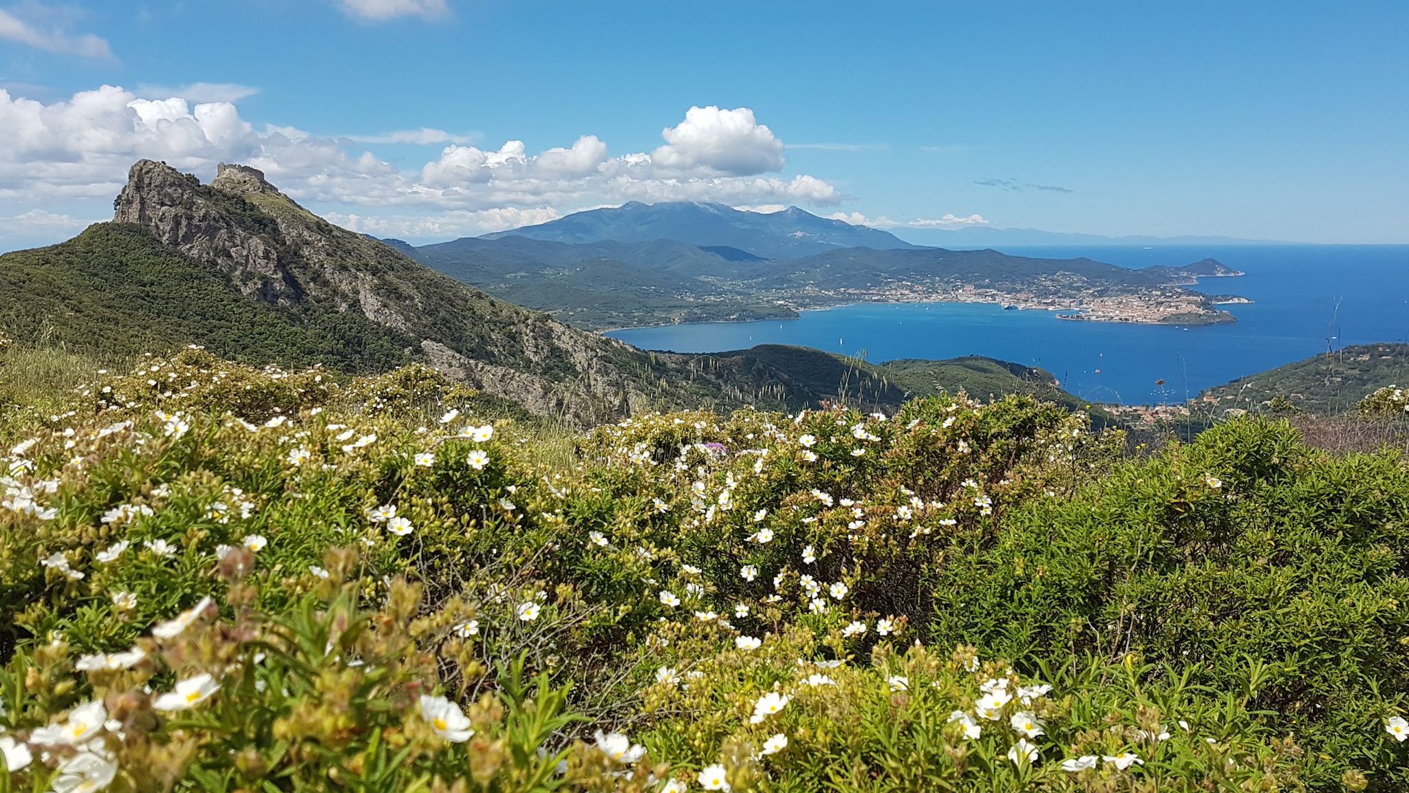
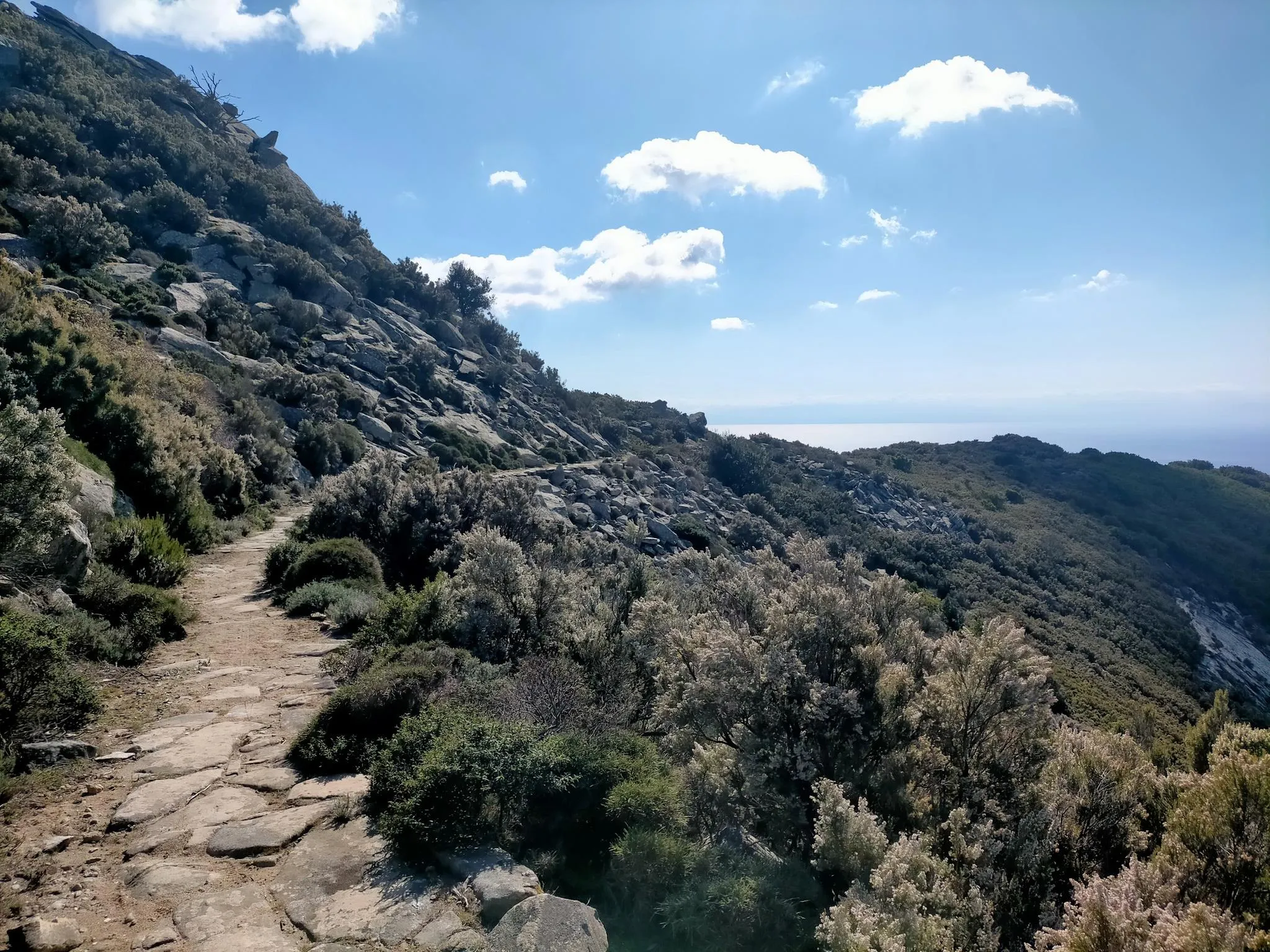
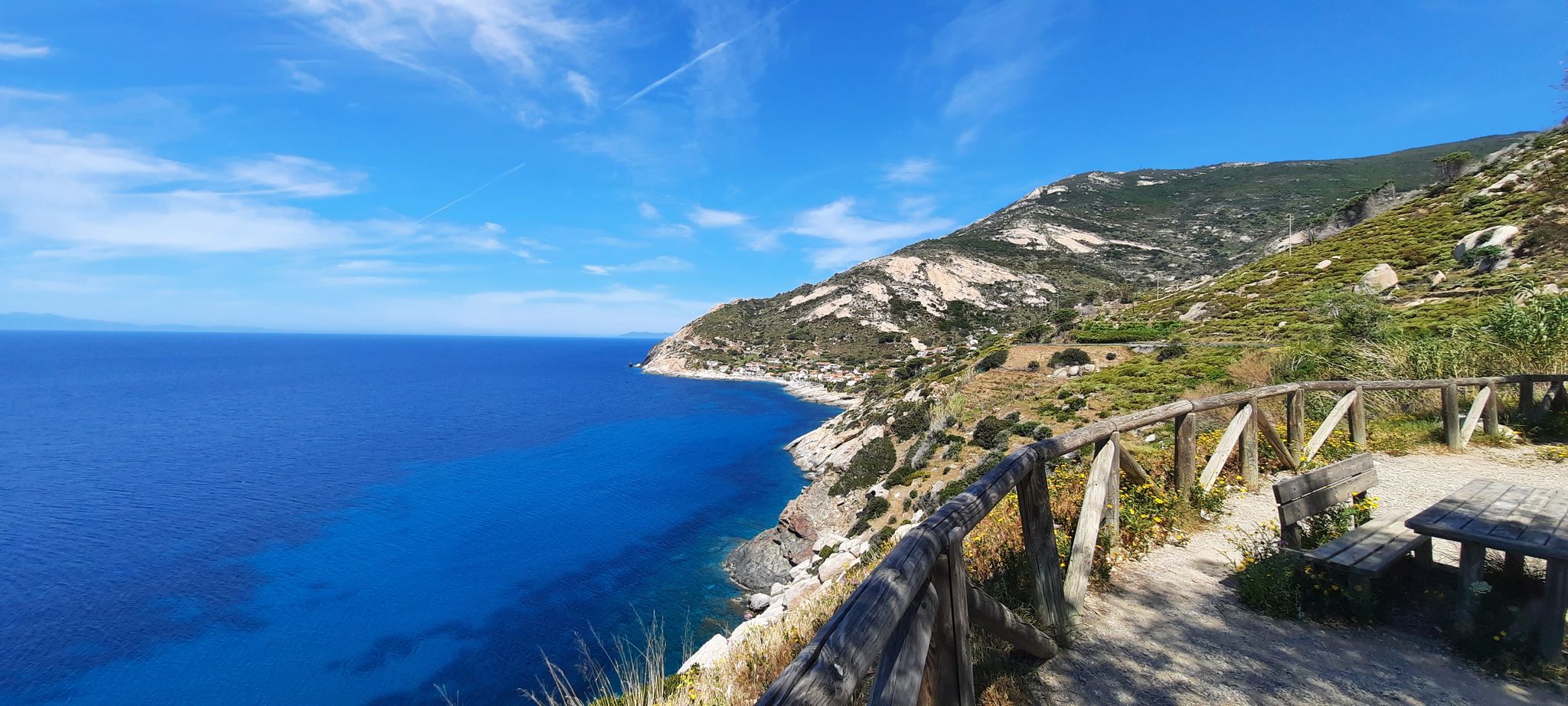
Bus station hiking trails around Parco Nazionale dell'Arcipelago Toscano offer access to a diverse landscape across its islands, including Elba, Giglio, and Capraia. The region features predominantly hilly and mountainous terrain, with Mount Capanne on Elba reaching 1,019 meters. Hikers encounter a variety of physical features, from sandy beaches and rocky coves to wooded hills and imposing cliffs of volcanic origin. Granite landscapes and historical sites are also common along the trails.
Best bus station hiking trails around Parco Nazionale…
Last updated: June 29, 2026
4.8
(36)
221
hikers
6.31km
03:01
630m
630m
Moderate hike. Good fitness required. Mostly accessible paths. Sure-footedness required.
4.6
(75)
403
hikers
9.04km
03:47
620m
620m
Moderate hike. Good fitness required. Mostly accessible paths. Sure-footedness required.

Sign up for free
4.7
(16)
59
hikers
12.8km
05:01
770m
770m
Hard hike. Very good fitness required. Sure-footedness, sturdy shoes and alpine experience required.
4.8
(25)
57
hikers
Easy hike. Great for any fitness level. Easily-accessible paths. Suitable for all skill levels.
4.2
(22)
56
hikers
10.8km
03:06
260m
260m
Moderate hike. Good fitness required. Easily-accessible paths. Suitable for all skill levels.
Get access to more routes and recommendations from other explorers.
Sign up for free
Already have an account?
Our route recommendations are based on thousands of hikes, rides, and runs completed by other people on komoot.
Start today with a free account
Your next adventure awaits.
Login or Signup
Popular around Parco Nazionale dell'Arcipelago Toscano
Other adventures around Parco Nazionale dell'Arcipelago Toscano


Tips from the Community

Cable car to the summit of Monte Capanne, offering stunning views over Elba. Return tickets cost €20 per person (as of October 2025).
2
0

The cable car itself is a unique sight; you stand in the basket and ascend. The view from Monte Capanne is truly magnificent; you can see not only the island of Elbe all the way to the mainland, but also Corsica and, with luck, even the northern tip of Sardinia.
2
0

It's worth a drive, you get a great view of the mountain villages of Marciana and Poggio.
1
0
The upper section of Monte Capanne is rated T1. Please approach with caution; the descent should not be attempted in simple sneakers.
1
0

Ivan Lucini's tip is completely wrong, Marciano Marina is down by the sea, and some of the photos are also wrong.
1
0
Valley station of the "cage" cable car (open two-person standing gondolas) up to the 1019-meter-high Monte Capanne, Elba's highest mountain. A worthwhile ride (20 euros round trip).
3
0
Great little mountain village with good restaurants, perfect for a stopover or lunch.
1
0

Stairs, stairs, stairs... a very beautiful mountain village, in an equally beautiful setting with interesting architecture and great views of the mountains and coast.
0
0
Frequently Asked Questions
How many bus-accessible hiking trails are available in Parco Nazionale dell'Arcipelago Toscano?
There are over 80 hiking trails in Parco Nazionale dell'Arcipelago Toscano that are accessible from bus stations, offering a wide range of options for exploring the islands without a car.
What are the typical difficulty levels for bus-accessible hikes in the region?
The bus-accessible trails cater to various fitness levels. You'll find a good mix, with approximately 15 easy routes, 37 moderate routes, and 32 difficult routes. For example, the Poggio Village – View of Elba loop from Marciana is a moderate option, while the Pino di Monserrato – Forest View loop from Porto Azzurro presents a more difficult challenge.
Are there any circular hiking routes that can be reached by bus?
Yes, many bus-accessible trails are designed as circular routes, allowing you to start and end at the same bus stop. An example is the moderate Buzzancone Beach – Buzzancone Beach loop from La Zappatoio, which offers coastal views.
What kind of landscapes and natural features can I expect on these bus-accessible trails?
The trails offer diverse landscapes, from the granite western massif of Elba, culminating in Monte Capanne Summit, to wooded hills and coastal paths. You can explore areas with unique geological formations, rich biodiversity, and stunning panoramic views of the Tuscan Archipelago.
Are there historical sites or points of interest along bus-accessible hiking routes?
Absolutely. Many trails pass by significant historical and natural attractions. For instance, you can visit the Marciana Historic Village, explore the Volterraio Castle, or discover the Cactus Trail to the Calamita Mines. The islands also feature ancient Roman ruins and Etruscan remains.
Can I find family-friendly bus-accessible hikes in Parco Nazionale dell'Arcipelago Toscano?
While specific family-friendly routes are not highlighted in the provided data, the presence of 15 easy routes suggests there are options suitable for families. Look for trails with shorter distances and minimal elevation gain, often found closer to villages or coastal areas.
What is the best time of year to hike from bus stations in the Tuscan Archipelago?
The spring (April-May) and autumn (September-October) months are generally ideal for hiking. The weather is milder, and the natural scenery is vibrant. Summer can be hot, especially on exposed trails, but coastal walks can be refreshing. Winter offers quieter trails, but some services might be limited.
Are there any specific permits required for hiking in the Parco Nazionale dell'Arcipelago Toscano?
While most general hiking trails do not require specific permits, some islands like Pianosa, Montecristo, and Gorgona have restricted access and require guided tours or special permits due to their protected status or historical use as penal colonies. Always check with the park authority for the latest regulations, especially if planning to visit these specific islands.
What do other hikers enjoy most about hiking in Parco Nazionale dell'Arcipelago Toscano?
The area is highly rated by the komoot community, with an average score of 4.6 stars. Reviewers often praise the stunning coastal and mountain views, the diverse flora and fauna, and the unique experience of exploring islands with rich history and geology. The convenience of bus access to trailheads is also frequently appreciated.
What makes hiking from bus stations in this region unique?
Hiking from bus stations in Parco Nazionale dell'Arcipelago Toscano offers a unique opportunity to explore the diverse landscapes of the islands without the need for a private vehicle. It allows for linear routes, connecting different villages or points of interest, and provides a more sustainable and immersive way to experience the natural beauty and cultural heritage of the archipelago.
Are there any challenging bus-accessible hikes for experienced hikers?
Yes, for experienced hikers seeking a challenge, routes like the View of Elba – Monte Capanne Summit loop from Marciana offer significant elevation gain and longer distances, leading to the highest peak on Elba. These trails provide rigorous experiences with rewarding panoramic views.
Most popular routes around Parco Nazionale dell'Arcipelago Toscano
Most popular attractions around Parco Nazionale dell'Arcipelago Toscano

Get inspired with the komoot mobile app


Explore more
Browse the best Hikes in other regions.
