The best hikes from bus stations around National Park of Abruzzo
4.5
(3372)
14,915
hikers
47
hikes
Bus station hiking trails around National Park of Abruzzo traverse a landscape dominated by the Apennine mountain range, featuring peaks exceeding 2,200 meters. The region is characterized by rugged topography, ancient beech forests, and diverse flora. Rivers like the Sangro and lakes such as Lago di Barrea add to the varied natural features.
Best bus station hiking trails around National Park of Abruzzo
- The most popular bus station hiking route is Forca Resuni Hut – View from Passo Cavuto loop from Civitella Alfedena, an 8.2 miles (13.2 km) difficult trail that takes about 5 hours 30 minutes to complete, offering expansive mountain views.
- Another top favourite among local hikers is Monte Amaro Summit – Monte Amaro di Opi Summit loop from Parco Nazionale d'Abruzzo, Lazio e Molise, a difficult 6.3 miles (10.2 km) path that ascends to a prominent summit, often completed in under 5 hours.
- Local hikers also love the Bear Track loop from Civitella Alfedena, a 3.9 miles (6.2 km) trail leading through varied terrain, often completed in about 1 hour 50 minutes.
- Hiking around National Park of Abruzzo is defined by mountainous terrain, ancient beech forests, and alpine meadows. The extensive network offers options for various ability levels, from easy walks to challenging ascents.
- The routes in National Park of Abruzzo are highly rated by the komoot community with an average score of 4.5 stars from over 2,700 reviews. More than 12,500 hikers have used komoot to explore National Park of Abruzzo's varied terrain.
Last updated: August 23, 2026
4.8
(71)
311
hikers
13.2km
05:27
890m
890m
Hard hike. Very good fitness required. Mostly accessible paths. Sure-footedness required.
4.7
(51)
156
hikers
14.8km
04:23
410m
410m
Moderate hike. Good fitness required. Easily-accessible paths. Suitable for all skill levels.

Sign up for free
4.8
(33)
177
hikers
10.2km
04:56
730m
730m
Hard hike. Good fitness required. Sure-footedness, sturdy shoes and alpine experience required.
4.7
(20)
81
hikers
20.7km
07:36
790m
790m
Hard hike. Very good fitness required. Sure-footedness, sturdy shoes and alpine experience required.
4.9
(7)
56
hikers
16.3km
05:49
770m
770m
Hard hike. Very good fitness required. Sure-footedness, sturdy shoes and alpine experience required.
Get access to more routes and recommendations from other explorers.
Sign up for free
Already have an account?
Our route recommendations are based on thousands of hikes, rides, and runs completed by other people on komoot.
Start today with a free account
Your next adventure awaits.
Login or Signup
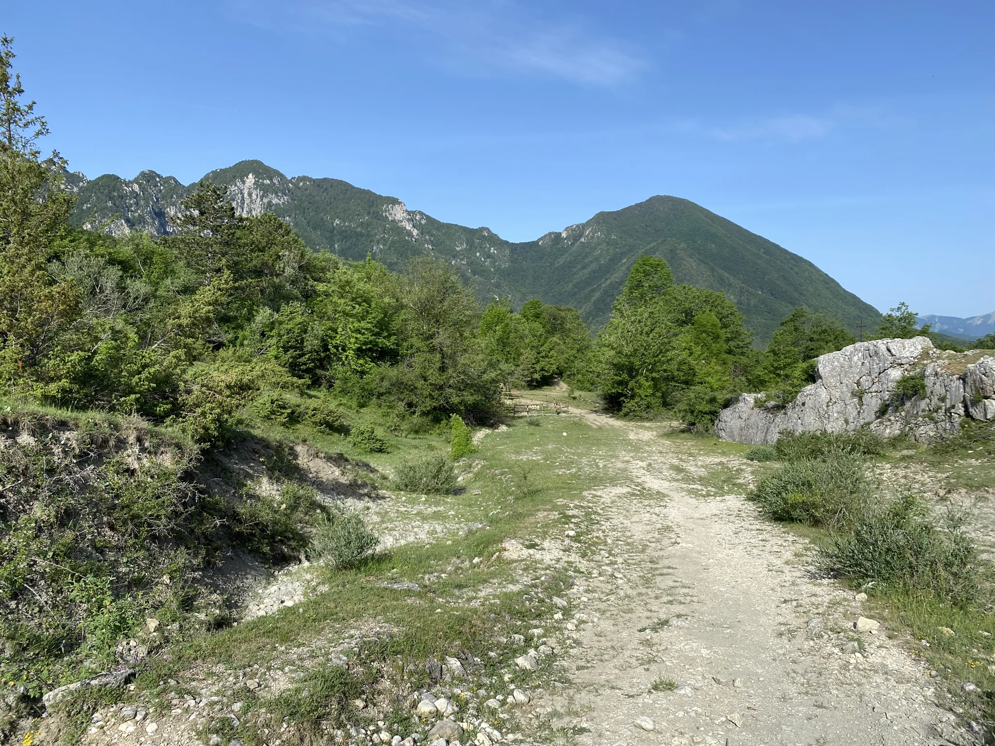
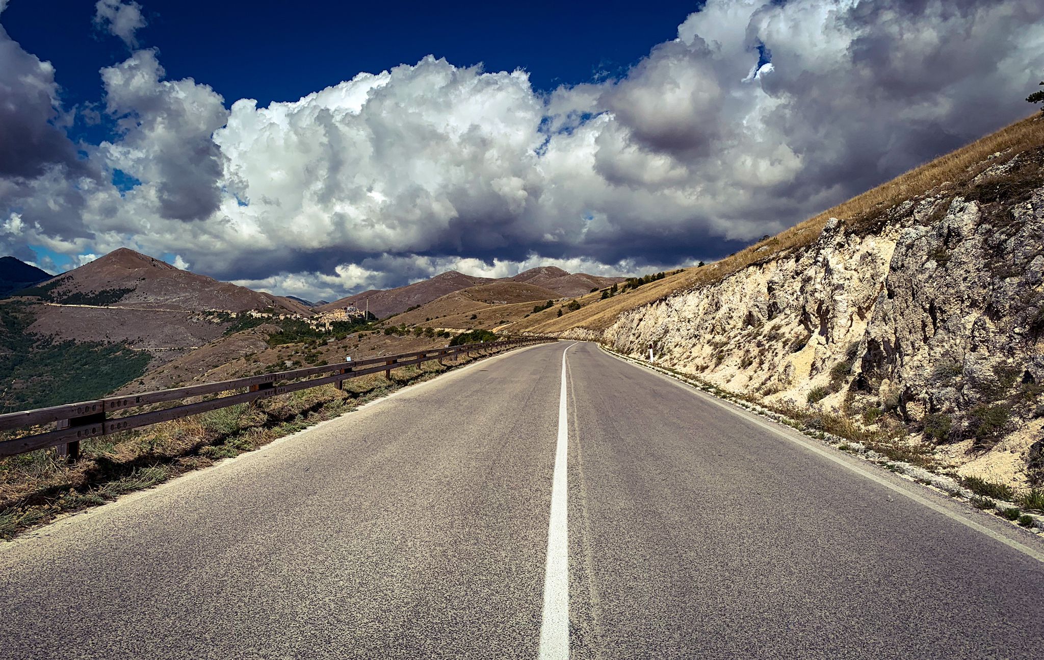
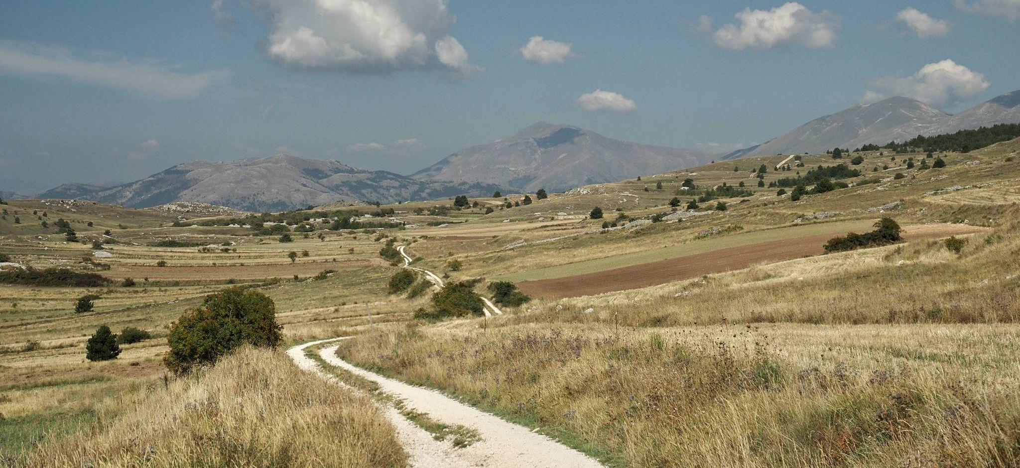
Other adventures around National Park of Abruzzo


Tips from the Community

Nice ride starting from Barrea, there's a stretch on the main road that's not exactly pleasant due to the speeding cars, but it's worth doing in the context.
0
0

Panoramic views from the summit!
0
0

suddenly you turn around and see barrea with a breathtaking view
0
0

In the small town of Opi, in Abruzzo, there are countless karst springs and one of these forms the Fondillo stream. It is one of the first tributaries of the Sangro stream, which gives its name to the valley of the same name.
1
1

relaxing and cool place during the hottest days
0
0

Beautiful beech forest with a very varied landscape
2
0
easy path surrounded by beech trees and quiet
2
0

The medieval village of Civitella Alfedena is located on Lake Barrea at 1,212 meters above sea level. Its narrow streets and stone houses make the village very suggestive and in the center there is the visitor point and the Apennine wolf museum. Many people leave from here to go on excursions in the Camosciara nature reserve.
2
0
Frequently Asked Questions
How many bus-accessible hiking trails are available in the National Park of Abruzzo?
There are over 40 bus-accessible hiking trails in the National Park of Abruzzo, offering a wide range of experiences for different skill levels. The park boasts an extensive network of over 750 km of trekking routes in total, making it an ideal destination for exploring by public transport.
What kind of terrain and difficulty can I expect on these bus station hikes?
The National Park of Abruzzo features diverse mountainous terrain, from gentle valleys to peaks over 2,200 meters. You'll find routes ranging from easy, like the Bear Track loop from Civitella Alfedena, to more challenging, difficult trails such as the Forca Resuni Hut – View from Passo Cavuto loop from Civitella Alfedena. Many trails involve significant elevation changes, so be prepared for ascents and descents.
Are there any easy, family-friendly hikes accessible by bus?
Yes, the park offers several easy routes suitable for families. For instance, the Bear Track loop from Civitella Alfedena is an easy option with moderate elevation gain, perfect for a shorter outing. The park's extensive network ensures there are paths for all ages and abilities.
What natural features and landmarks can I see along bus-accessible trails?
Many bus-accessible trails lead to stunning natural features and landmarks. You can explore ancient beech forests, such as those recognized as a UNESCO World Heritage site in Valle di Terraegna, or visit tranquil lakes like Lago di Barrea. Highlights include mountain peaks like Monte Marrone and Mount La Meta, or even historical sites like the Hermitage of San Michele at Foce.
What is the best time of year to hike from bus stations in the National Park of Abruzzo?
The park offers beauty year-round. Spring brings wildflower-dotted meadows, summer provides lush green forests, and autumn showcases vibrant foliage. Winter transforms many trails into cross-country skiing paths, with opportunities for snowshoeing. For general hiking, late spring to early autumn (May to October) is ideal, offering pleasant temperatures and accessible trails.
Are there any circular routes available from bus stops?
Yes, many routes are designed as circular loops, allowing you to start and end at the same point, which is convenient when relying on public transport. Examples include the challenging Monte Amaro Summit loop or the demanding Iorio Hut – Monte Pietroso loop from Pescasseroli.
Can I find places to eat or drink near the bus-accessible trailheads?
Yes, several trailheads and villages within the park offer amenities. You might find cafes or huts where you can refuel. For example, the Bar and Cross-Country Ski School Café is one such option, and various huts like Forca Resuni Hut or Baita di Padre Terzi provide resting points.
Are dogs allowed on the bus-accessible hiking trails?
The National Park of Abruzzo has specific regulations regarding dogs to protect its rich wildlife, including Marsican brown bears and Apennine wolves. While some areas may permit dogs on a leash, it's crucial to check the specific trail regulations and park guidelines before bringing your dog. Always ensure responsible pet ownership.
What are some challenging bus-accessible hikes for experienced hikers?
For experienced hikers seeking a challenge, routes like the Val Fondillo Springs – Acqua Sfranatara Spring loop offer significant elevation gain and distance. Another demanding option is the Monte Amaro Summit loop, which provides a strenuous climb and rewarding views.
What do other hikers enjoy most about hiking in the National Park of Abruzzo?
The National Park of Abruzzo is highly rated by the komoot community, with an average score of 4.5 stars. Reviewers often praise the park's stunning natural beauty, the opportunity for wildlife spotting (such as chamois in Val di Rose), and the extensive, well-marked trail network that caters to all levels.
Are there any specific permits or fees required for hiking in the park?
Generally, no specific permits are required for day hiking on marked trails within the National Park of Abruzzo. However, some sensitive areas or guided wildlife observation tours might have specific rules or fees. It's always advisable to check with the park visitor centers for the most up-to-date information, especially for restricted zones like Monte Meta's summit.
Most popular routes around National Park of Abruzzo
Most popular attractions around National Park of Abruzzo

Get inspired with the komoot mobile app


Explore more
Browse the best Hikes in other regions.
