The best traffic-free bike rides around Terril "Le martinet"
4.3
(509)
3,654
riders
189
rides
No traffic touring cycling routes around Terril "Le martinet" traverse a unique landscape of re-naturalized industrial sites, featuring distinctive conical slag heaps that have transformed into ecological environments. The area offers panoramic views of the Charleroi basin and the Sambre valley from its elevated points. Cycling paths often integrate with the RAVeL network, providing dedicated routes for non-motorized traffic through diverse terrain, including wetlands and former mining areas. This region combines natural regeneration with remnants of its industrial past, offering…
Last updated: June 29, 2026
3.8
(24)
138
riders
46.0km
02:48
160m
160m
Moderate bike ride. Good fitness required. Mostly paved surfaces. Suitable for all skill levels.
4.5
(2)
10
riders
62.4km
03:43
390m
390m
Moderate bike ride. Good fitness required. Mostly paved surfaces. Suitable for all skill levels.

Sign up for free
4.5
(2)
11
riders
41.9km
02:28
210m
210m
Moderate bike ride. Good fitness required. Mostly paved surfaces. Suitable for all skill levels.
5.0
(1)
2
riders
38.4km
02:46
480m
480m
Hard bike ride. Very good fitness required. Mostly paved surfaces. Suitable for all skill levels.
5
riders
10.5km
00:39
110m
110m
Easy bike ride. Great for any fitness level. Mostly paved surfaces. Suitable for all skill levels.
Get access to more routes and recommendations from other explorers.
Sign up for free
Already have an account?
Our route recommendations are based on thousands of hikes, rides, and runs completed by other people on komoot.
Start today with a free account
Your next adventure awaits.
Login or Signup
Popular around Terril "Le martinet"

Tips from the Community

Beautiful site on the old canal
0
0


Old Abbey of Aulne, drafty and all. And beautiful, along the Sambre
1
0

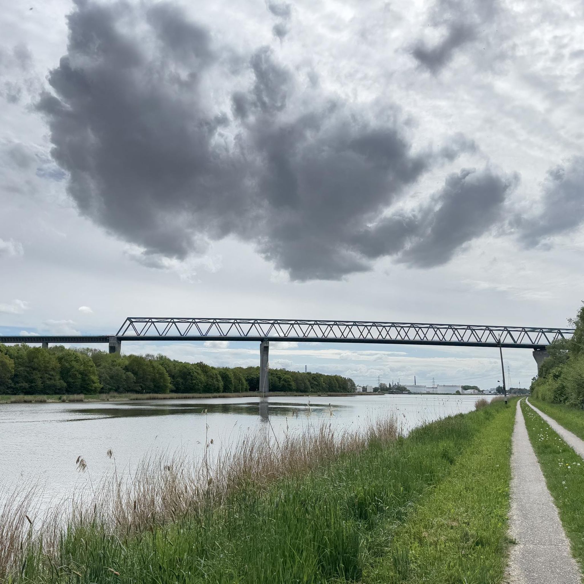
An old bridge dedicated to bicycles and pedestrians. A route for beautiful walks.
0
0
One of the many locks on the canal. From here you can head up to Viesville or head towards Seneffe or Charleroi.
0
0

A quiet and peaceful spot. A place to sit when the sun is shining and enjoy the coolness of the trees and the water.
0
0


Possible transition between the path running along the canal and the perpendicular Ravel paths
0
0
Frequently Asked Questions
How many no-traffic touring cycling routes are available around Terril "Le martinet"?
There are nearly 180 dedicated no-traffic touring cycling routes around Terril "Le martinet" listed on komoot. These routes offer a variety of distances and difficulty levels, ensuring there's something for every cyclist looking to explore the re-naturalized industrial landscapes and greenways of the region.
What kind of terrain can I expect on these no-traffic cycling routes?
The no-traffic routes around Terril "Le martinet" primarily utilize the RAVeL network and sections of the GR412 "Sentier des terrils", which are greenways designed for non-motorized traffic. You can expect a mix of paved and unpaved sections, offering varied experiences. While the terrils themselves are prominent features, the cycling routes generally navigate around or through the broader re-naturalized industrial landscapes, providing relatively gentle gradients suitable for touring.
Are there any easy no-traffic touring routes suitable for beginners or families?
Yes, approximately 50 of the routes are classified as easy, making them ideal for beginners or family outings. These routes typically feature minimal elevation gain and follow well-maintained paths, often along the RAVeL network. For example, routes like the Pont de l'Origine Drawbridge – Seneffe Marina loop from Roux offer a moderate distance with manageable elevation, perfect for a relaxed day out.
What natural features or viewpoints can I expect to see along the no-traffic cycling routes?
The routes offer unique views of the re-naturalized industrial landscapes, including the distinctive conical, wooded slag heaps (terril) that dominate the area. From higher points, you can enjoy panoramic views of the Charleroi basin and the Sambre valley. The region is also rich in biodiversity, with wetlands and ponds supporting various species, including the Natterjack toad and rare plants, which you might spot along the way.
Are there any historical landmarks or attractions to visit on these routes?
Absolutely. The area around Terril "Le martinet" is steeped in mining history. You can observe vestiges of the former mining activity, including imposing industrial buildings. Some structures, like the showers building and the locomotive shed, have been renovated. Newer initiatives such as a pedagogical vineyard, a brewery, and a bakery are also establishing themselves on the site, adding to the local charm. While specific highlight links are not provided, these historical and cultural points are often accessible from the cycling network.
What is the best time of year to cycle around Terril "Le martinet"?
The re-naturalized landscapes around Terril "Le martinet" are beautiful throughout the warmer months, typically from spring to autumn. Spring brings blooming flora, while autumn offers vibrant colors. The greenways of the RAVeL network are generally well-maintained, making them accessible in most conditions. However, it's always advisable to check local weather forecasts, especially during periods of heavy rain, as some unpaved sections might become muddy.
Can I find circular no-traffic cycling routes in this area?
Yes, many of the no-traffic touring routes around Terril "Le martinet" are designed as circular loops, allowing you to start and end at the same point. This is particularly convenient for those traveling by car. An example of a circular route is the RAVeL L141 – The swing bridge of Arquennes loop from Roux, which offers a substantial distance while bringing you back to your starting point.
Are there any particularly long no-traffic touring routes for experienced cyclists?
For experienced touring cyclists looking for longer distances, there are several moderate to difficult routes available. These can extend up to 60 kilometers or more, often incorporating more varied terrain and elevation. The RAVeL L141 – The swing bridge of Arquennes loop from Roux, for instance, covers over 61 kilometers, providing a good challenge while remaining traffic-free.
What do other touring cyclists enjoy most about cycling in Terril "Le martinet"?
The area is highly rated by the komoot community, with an average score of 4.2 stars from over 580 ratings. Reviewers often praise the unique blend of re-naturalized industrial landscapes, the tranquility of the dedicated greenways, and the opportunity to explore the region's rich history and biodiversity away from traffic.
Is public transport accessible near the no-traffic cycling routes?
The Terril "Le martinet" area is part of the broader Charleroi basin, which has public transport connections. The RAVeL network, which forms the backbone of many no-traffic routes, is designed to connect towns and villages, potentially offering access points via local bus or train services. It's recommended to check local public transport schedules and bicycle carriage policies for specific starting points.
Are there any challenging no-traffic routes with significant elevation gain?
While many routes are relatively flat due to their greenway nature, some routes do incorporate more significant elevation changes, especially those that venture closer to the terrils or traverse the varied landscape. For example, the Aulne Abbey Ruins – Manual Lock at Aulne Abbey loop from Roux is classified as difficult, featuring nearly 480 meters of elevation gain over its 38-kilometer distance, offering a more strenuous ride.
Most popular routes around Terril "Le martinet"

Get inspired with the komoot mobile app


Explore more
Browse the best Cycling routes in other regions.
