The best hikes from bus stations around Grinderwald
4.6
(3292)
15,613
hikers
460
hikes
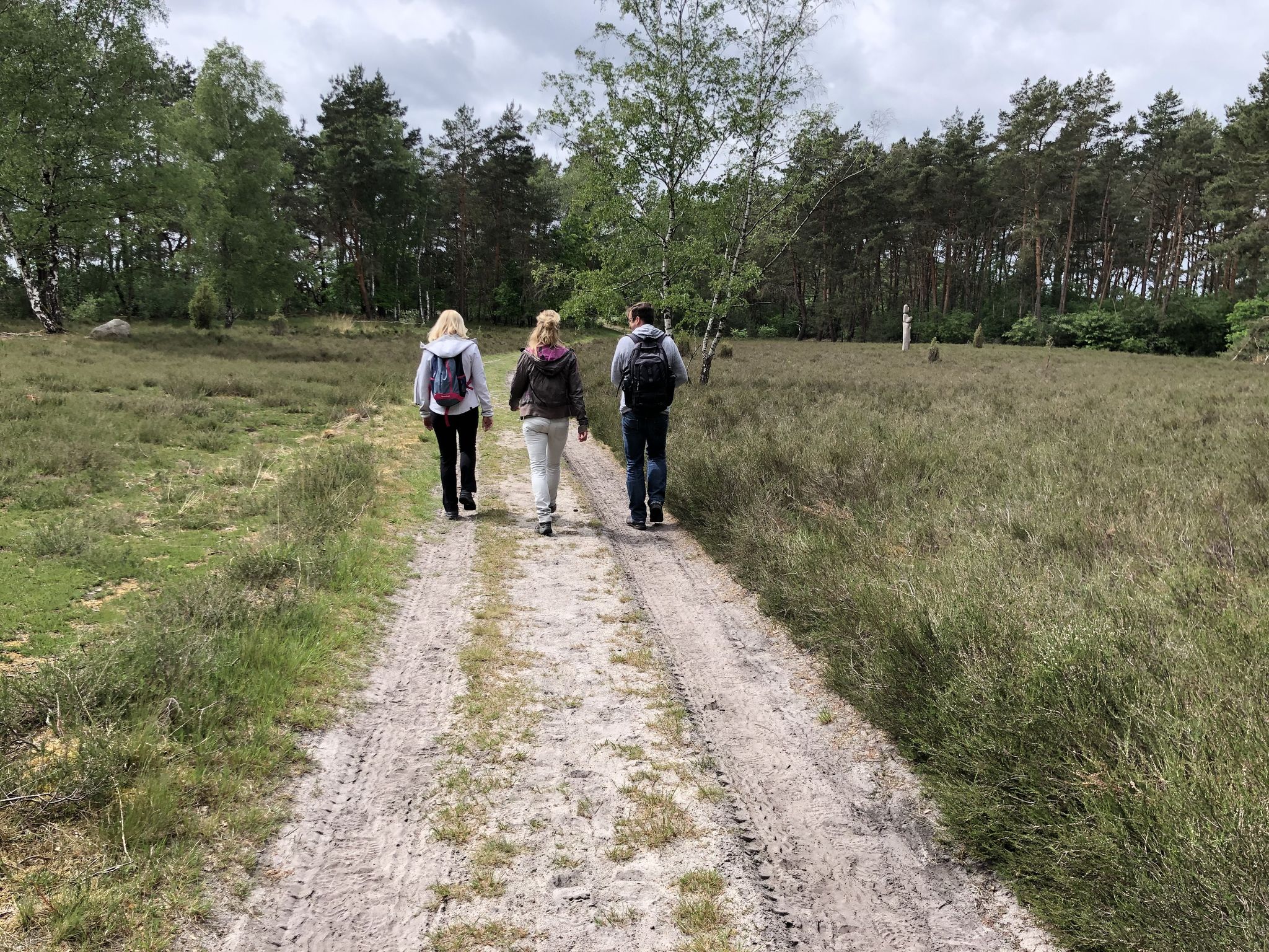
Bus station hiking trails around Grinderwald offer access to varied landscapes, including forest trails and open countryside. The region is characterized by gentle elevation changes, making many routes accessible for different fitness levels. Hikers can explore areas with natural features such as woodlands and open fields. The terrain primarily consists of well-maintained paths suitable for walking.
Best bus station hiking trails around Grinderwald
- The most popular bus station hiking route is Hiking loop from Eilvese, a 3.8 miles (6.2…
Last updated: August 9, 2026
4.8
(4)
20
hikers
6.16km
01:35
30m
30m
Easy hike. Great for any fitness level. Easily-accessible paths. Suitable for all skill levels.
5.0
(3)
7
hikers
11.0km
02:50
60m
60m
Moderate hike. Good fitness required. Easily-accessible paths. Suitable for all skill levels.

Sign up for free
5.0
(2)
4
hikers
Moderate hike. Good fitness required. Easily-accessible paths. Suitable for all skill levels.
5
hikers
3.51km
00:54
20m
20m
Easy hike. Great for any fitness level. Easily-accessible paths. Suitable for all skill levels.
5
hikers
Moderate hike. Good fitness required. Easily-accessible paths. Suitable for all skill levels.
Get access to more routes and recommendations from other explorers.
Sign up for free
Already have an account?
Our route recommendations are based on thousands of hikes, rides, and runs completed by other people on komoot.
Start today with a free account
Your next adventure awaits.
Login or Signup
Popular around Grinderwald
Other adventures around Grinderwald

Tips from the Community

Here are two benches for a break by the wayside. Next to one bench are two wooden sculptures. On the other, there are partly small mandalas made of stones and sticks.
0
0
Here lie tracks of the historic narrow-gauge railway. It was formerly used for transporting peat. There are still railways, but they are currently not running for tourists.
1
0

It's a great place to linger. There's a bakery and café for shopping.
1
0

Linsburg is a municipality in the Nienburg/Weser district in Lower Saxony and is part of the Steimbke municipality.
3
0


Without a roof, but beautifully situated benches at the edge of the forest.
2
0

A nice little through road...also a market to refill drinks
2
0

The "Ernst-August-Hütte" is named after the Hanoverian king Ernst-August (1771-1845). The hut was built in 1967 by the Linsburg forest youth. It lies in the shade of 160-year-old beeches.
0
0
Frequently Asked Questions
How many bus station hiking trails are available in Grinderwald?
There are over 470 hiking routes in Grinderwald that are accessible from bus stations. This includes a wide range of options, with more than 310 easy trails and nearly 150 moderate routes, ensuring there's something for every hiker.
What do other hikers enjoy most about the trails in Grinderwald?
The hiking trails in Grinderwald are highly rated by the komoot community, with an average score of 4.6 stars from over 3,000 ratings. Hikers often praise the diverse landscapes, from forest paths to open heathlands, and the accessibility of these routes from public transport hubs.
Are there any easy, family-friendly hikes accessible from bus stations in Grinderwald?
Yes, Grinderwald offers many easy routes perfect for families. An excellent option is the Hiking loop from Eilvese, which is just over 6 km long and features minimal elevation gain, making it suitable for all ages. Another short and easy option is the Self-service farm shop Eilvese loop, which is only about 3.5 km.
What kind of natural attractions can I expect to see along these bus-accessible trails?
Grinderwald's bus-accessible trails offer a variety of natural sights. You can explore the unique landscapes of the Heathland north of Totes Moor, known for its distinct flora and open spaces. Many routes also traverse the serene Grinderwald Forest Path, providing a peaceful woodland experience.
Are there any moderate hikes for those looking for a bit more challenge?
Absolutely. For a moderate challenge, consider the Bench With a View of Borstel loop from Eilvese. This 11 km route offers varied terrain and slightly more elevation, providing a rewarding experience. Another great moderate option is the Forest Trail in Totes Moor – Peat Railway Relic loop from Eilvese, which is about 9.7 km long.
Can I find circular routes starting from bus stations in Grinderwald?
Yes, many of the trails accessible from bus stations in Grinderwald are designed as convenient circular routes. Examples include the Hiking loop from Eilvese and the Grinderwald Forest Playground – Zur Suhle Cabin loop from Linsburg, allowing you to start and end your hike at the same public transport point without needing to retrace your steps.
Are there any historical or cultural points of interest along the trails?
Yes, some trails offer glimpses into the region's history. For instance, the Forest Trail in Totes Moor – Peat Railway Relic loop from Eilvese passes by remnants of a peat railway, offering a unique historical context. You might also encounter the Russian Soldiers' Memorial Lübschburg on some routes, providing a moment for reflection.
What is the typical terrain like on Grinderwald's bus-accessible hiking trails?
The terrain on Grinderwald's bus-accessible trails is generally varied, ranging from well-maintained forest paths and gravel tracks to open heathland trails. While some routes feature gentle inclines, most are characterized by relatively low elevation changes, making them enjoyable for a wide range of fitness levels.
Are there any huts or places to stop for refreshments along the routes?
While specific cafes directly on every bus-accessible route might vary, some trails pass near or lead to points where you can find facilities. For example, the Ernst-August Hut is a notable point of interest in the area, which might be accessible from certain routes or serve as a destination for a longer hike.
Are there any trails that offer specific viewpoints or scenic vistas?
Many trails in Grinderwald offer pleasant scenic views, particularly those that traverse open areas like the Heathland north of Totes Moor. While not mountainous vistas, these routes provide expansive views of the local landscape, forests, and fields. The Bench With a View of Borstel loop from Eilvese specifically highlights a scenic spot.
What is the best time of year to hike these bus-accessible trails?
The bus-accessible trails in Grinderwald are generally enjoyable throughout the warmer months, from spring to autumn. Spring brings blooming flora, while autumn offers beautiful foliage. Summer is also popular, but it's always advisable to check local weather conditions before heading out.
Most popular routes around Grinderwald
Most popular attractions around Grinderwald

Get inspired with the komoot mobile app


Explore more
Browse the best Hikes in other regions.
