The best hikes from bus stations around Kotten Forest
4.5
(48803)
208,390
hikers
17
hikes
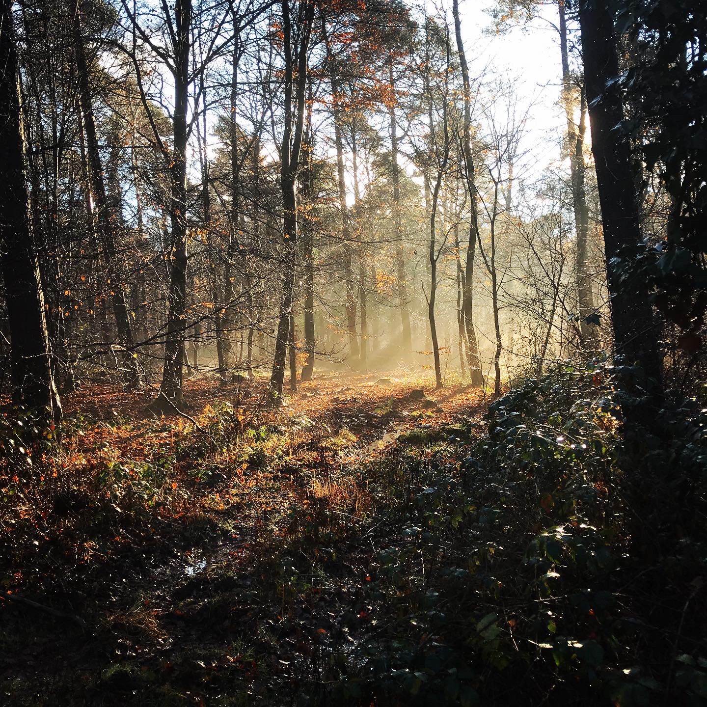
Bus station hiking trails around Kotten Forest are characterized by expansive, naturally managed woodlands and diverse ecosystems. The region features rolling hills and significant water features, including the Katzenlochbachtal Stream, Villiper Bach, and Kurfürsten Pond. The Rehsprungmaar, a maar vital for amphibian species, is also present. This area provides a network of trails through varied terrain.
Best bus station hiking trails around Kotten Forest
- The most popular bus station hiking route is Thick Oak – Thick Oak (Kotten Forest) loop…
Last updated: June 29, 2026
4.5
(22)
86
hikers
7.54km
01:55
20m
20m
Easy hike. Great for any fitness level. Easily-accessible paths. Suitable for all skill levels.
4.4
(16)
44
hikers
9.50km
02:25
20m
20m
Moderate hike. Good fitness required. Easily-accessible paths. Suitable for all skill levels.

Sign up for free
4.4
(12)
47
hikers
Moderate hike. Good fitness required. Easily-accessible paths. Suitable for all skill levels.
4.7
(29)
45
hikers
Easy hike. Great for any fitness level. Easily-accessible paths. Suitable for all skill levels.
5.0
(3)
26
hikers
6.42km
01:38
20m
20m
Easy hike. Great for any fitness level. Easily-accessible paths. Suitable for all skill levels.
Get access to more routes and recommendations from other explorers.
Sign up for free
Already have an account?
Our route recommendations are based on thousands of hikes, rides, and runs completed by other people on komoot.
Start today with a free account
Your next adventure awaits.
Login or Signup
Popular around Kotten Forest


Tips from the Community


The Rulandsweg is paved. The trail is very suitable for cyclists. Unfortunately, hikers have to walk the asphalt section if they want to hike the Katzenlochbachtal Loop (see https://www.naturpark-rheinland.de/katzenlochbachtal-runde).
0
0
The nature reserve in the Rhineland Nature Park is located between Bonn, Wachtberg, Meckenheim, and Alfter-Witterschlick. Those who enjoy hikes through forests and meadows without inclines will find this the right place. Most of the trails are also suitable for cyclists.
0
0

One of the few opportunities to cross the A565; well equipped with game gates
0
0

The Rehsprungmaar in the Kottenforst - In order to preserve it as a spawning water for protected amphibian species such as the agile frog or the great crested newt, human intervention is necessary.
2
0

At this milestone at the Hirschweiher the decision is made as to what happens next.
1
0
I almost walked past it, I wasn't expecting to find a wayside cross or a bench in such a place. Interesting. It seems to be a murder or atonement cross.
0
0

Amazing ancient man-made pond!
0
0
Frequently Asked Questions
How many bus station hiking trails are available in Kotten Forest?
There are over 20 bus station hiking trails in Kotten Forest, offering a variety of experiences for all skill levels. These routes are designed to be easily accessible via public transport, allowing you to explore the region's natural beauty without needing a car.
Are the bus station hiking trails in Kotten Forest suitable for beginners or families?
Yes, many of the bus station hiking trails in Kotten Forest are suitable for beginners and families. Out of the available routes, 15 are classified as easy, featuring gentle terrain and shorter distances. For example, the Bench in Naturpark Rheinland – Hunter's Hut in the Kotten Forest loop from Bundeskriminalamt Meckenheim is an easy, shorter option perfect for a relaxed outing.
What natural features can I expect to see on bus station hikes in Kotten Forest?
Kotten Forest is rich in natural features. You can expect to encounter vast, naturally managed woodlands, diverse ecosystems, and picturesque rolling hills. Water features are also prominent, including the meandering Katzenlochbachtal Stream and Villiper Bach, as well as the serene Hirsch Pond and Kurfürsten Pond. The significant natural monument of the Rehsprungmaar, vital for amphibian species, is also a notable sight.
Are there any historical landmarks or points of interest along these trails?
Yes, several historical and cultural points of interest can be found along the trails. A prominent one is the historic Hunter's Hut in the Kotten Forest, a listed building that once served as a relay station. You might also come across the Jägerkreuz monument and the Venner Ringwall, offering glimpses into the region's past.
Can I bring my dog on these bus station hikes?
Kotten Forest is generally dog-friendly, with many trails suitable for walks with your canine companion. The expansive woodlands provide ample space for dogs to enjoy. However, always ensure your dog is on a leash, especially in areas with wildlife or near other hikers, and be mindful of local regulations regarding nature reserves.
What is the best time of year to hike from bus stations in Kotten Forest?
Kotten Forest offers a pleasant hiking experience year-round. Spring brings vibrant greenery and blooming flora, while autumn showcases stunning fall colors. Summer provides shaded paths under the dense canopy, and even winter can be beautiful with a dusting of snow. The well-marked trails make it accessible in most conditions, though checking local weather is always advisable.
Are there circular routes available from bus stations in Kotten Forest?
Yes, many of the bus station hiking trails in Kotten Forest are designed as circular routes, allowing you to start and end your hike at the same bus stop. An example is the Thick Oak – Thick Oak (Kotten Forest) loop from Röttgen, which offers a convenient round trip through the forest.
Can I spot wildlife while hiking from bus stops in Kotten Forest?
Kotten Forest is known for its diverse ecosystems and is an excellent spot for wildlife observation. Keep an eye out for various bird species and special butterflies. The presence of the Rehsprungmaar also supports protected amphibian species like the agile frog and the great crested newt, contributing to the vibrant natural atmosphere.
What do other hikers enjoy most about the bus station trails in Kotten Forest?
The komoot community highly rates the hiking experiences in Kotten Forest, with an average score of 4.5 stars from over 44,000 ratings. Reviewers often praise the serene escape offered by the vast, naturally managed woodlands, the well-maintained and clearly marked trail networks, and the ease of access via public transport.
Are there options for longer or more challenging hikes from bus stops?
While many routes are easy, Kotten Forest also offers options for longer or moderately challenging hikes from bus stops. For instance, the Hiking trail in the Kottenforst – Heidgen Television Tower loop from Bundesministerium der Verteidigung, Dienstsitz Bonn is a moderate route spanning over 11 km, providing a more extended exploration of the forest's varied terrain.
How well are the trails marked in Kotten Forest?
The trails in Kotten Forest are generally well-marked. The Rhineland Nature Park, in collaboration with local authorities, has actively worked on signposting hiking trails. This clear route guidance system ensures hikers can easily navigate and explore the area, connecting with neighboring municipalities and making it simple to follow your chosen path from a bus station.
Most popular routes around Kotten Forest
Most popular attractions around Kotten Forest

Get inspired with the komoot mobile app


