The best traffic-free bike rides around Tharandter Wald
4.6
(184)
809
riders
34
rides
No traffic touring cycling routes around Tharandter Wald traverse one of Saxony's largest continuous forest areas, characterized by gentle hills, deeply incised stream valleys, and expansive woodlands. The landscape, shaped by glaciers and rivers, features diverse flora including mixed stands of beeches, oaks, spruces, and pines. This region offers a well-developed network of cycling paths, providing varied terrain for touring cyclists. The area also holds geological interest, resting on an ancient collapsed volcanic caldera with basalt rock formations.
Best no traffic touring cycling routes around Tharandter Wald
- The most popular no traffic touring cycling route is Gondelteich Grillenburg – Wooden Dock at Triebischsee loop from Grund, a 14.0 miles (22.5 km) trail that takes 1 hour 41 minutes to complete. This route features a moderate elevation gain through the forest.
- Another top favourite among local touring cyclists is Along the Wilde Weißeritz – Along the Wilde Weißeritz loop from Klingenberg-Colmnitz, a difficult 21.5 miles (34.6 km) path. This route follows the Wilde Weißeritz river, offering varied terrain and scenic views.
- Local touring cyclists also love the Klingenberg Dam – View of Klingenberg Reservoir loop from Edle Krone, a 20.5 miles (33.0 km) trail leading through woodlands and past the Klingenberg Reservoir, often completed in about 2 hours 48 minutes.
- Touring cycling around Tharandter Wald is defined by gentle hills, extensive woodlands, and stream valleys. The network offers options for different ability levels, from moderate forest paths to more challenging routes with significant elevation.
- The routes in Tharandter Wald are highly rated by the komoot community with an average score of 4.7 stars from more than 100 reviews. More than 700 touring cyclists have used komoot to explore Tharandter Wald's varied terrain.
Last updated: October 2, 2026
4.6
(9)
42
riders
22.7km
01:43
250m
250m
Moderate bike ride. Good fitness required. Mostly paved surfaces. Suitable for all skill levels.
4.6
(12)
26
riders
Moderate bike ride. Good fitness required. Mostly paved surfaces. Suitable for all skill levels.

5.0
(6)
20
riders
Hard bike ride. Good fitness required. You may need to push your bike for some segments of this route.
5.0
(4)
25
riders
33.0km
02:46
430m
430m
Moderate bike ride. Good fitness required. Mostly paved surfaces. Suitable for all skill levels.
5.0
(2)
15
riders
38.9km
02:38
560m
560m
Hard bike ride. Very good fitness required. Mostly paved surfaces. Suitable for all skill levels.
Get access to more routes and recommendations from other explorers.
Already have an account?
Our route recommendations are based on thousands of hikes, rides, and runs completed by other people on komoot.
Start today with a free account
Your next adventure awaits.
Popular around Tharandter Wald

Hiking with heart in the Ore Mountains
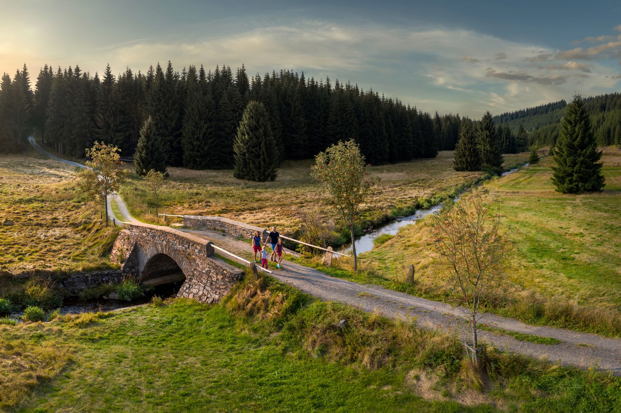
‘Good luck’ in the hiking paradise of the Ore Mountains
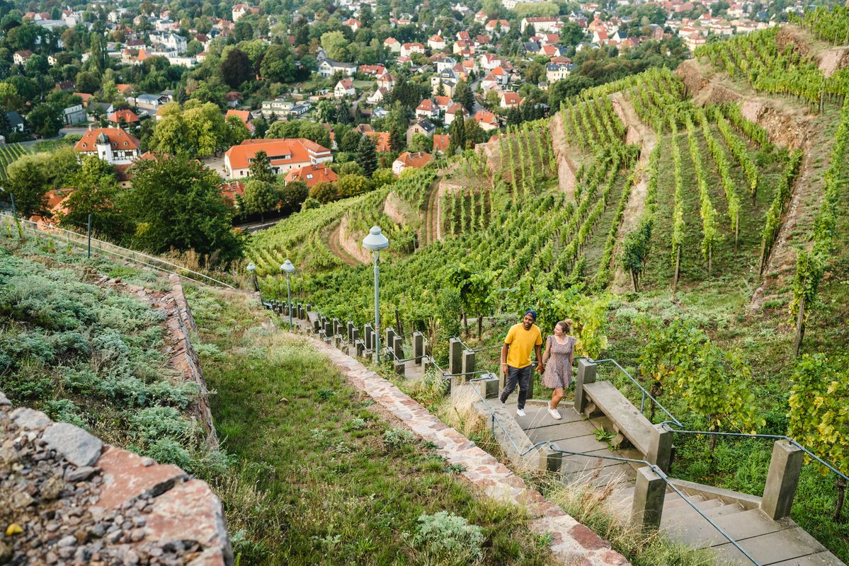
Great places closer to home – nature and fun in the Dresden Elbland
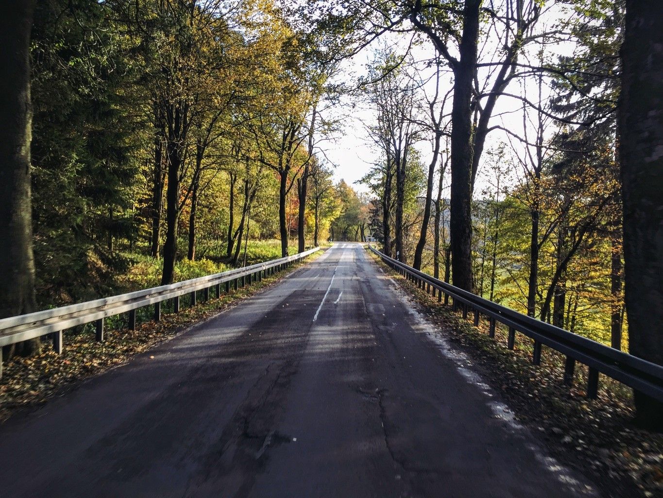
Weekend tours in the Ore Mountains

Digitale Wandernadel

Wandertouren - Eisenbahn & Wanderstock
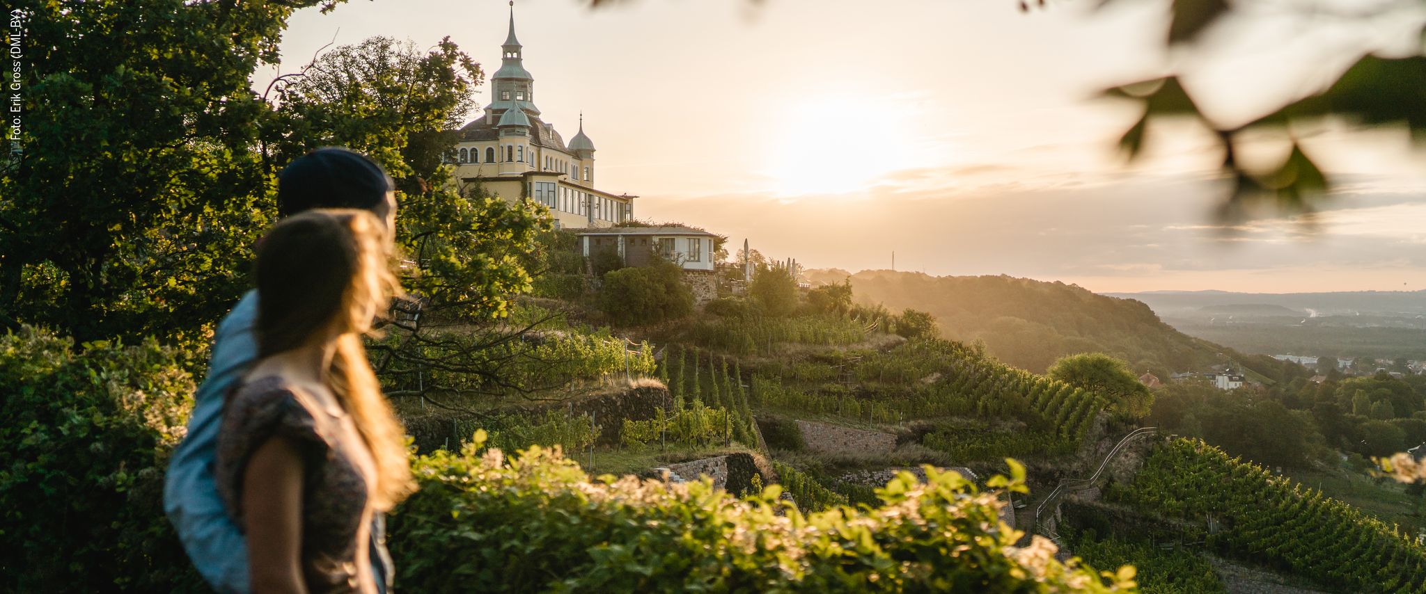
Natur entdecken – 10 Wandertouren abseits der Hauptpfade im Dresden Elbland

Traffic-free bike rides around Tharandter Wald

Traffic-free bike rides around Tharandter Wald
Other adventures around Tharandter Wald


Tips from the Community

In the years 1910/11 it was built as a wooden bridge, hence the name, and allowed the works railway on its 3.7 km journey between the station and the dam construction to cross the "Langen Grund". The demolition of the wooden bridge and new construction in reinforced concrete took place in 1924 as the works railway line was used for the road layout. The bridge was technically checked and completely overhauled in 1992.
1
0
The dam of the Klingenberg reservoir is an arched gravity dam made of rubble masonry according to the Intze principle. Remarkable about this listed dam is the striking crown structure in the middle. A public path leads across the dam. The reservoir has a pre-dam, whose closing structure is an earth dam, and two forebays. The Lehnmühle reservoir is also part of the system, which had the function of a pre-dam until its construction and is today primarily a controlled part of the drinking water supply and flood defense. The raw water is diverted to the Dresden-Coschütz waterworks via the Dorfhain and Tharandt hydroelectric power plants. At the foot of the dam are the waterworks and the Klingenberg hydroelectric power plant. The flood of the Wilde Weißeritz in 2002 caused damage (scouring), especially at the dam's spillway and the 150 m long cascade flood relief with its seven drop stages. It was only designed for a maximum flood of 86 cubic meters per second, but there were peak discharges of 160 m³/s.
0
0
The dam was built from 1908 onwards near Klingenberg in the foothills of the Ore Mountains, based on an architectural design by Hans Poelzig. In 1914, the dam went into operation and was named after the last Saxon king: Friedrich-August-Talsperre. The impounded body of water is the Wilde Weißeritz. Its construction was part of a flood protection concept that was developed after the devastating flood of 1897 by the district administration of Dresden-Altstadt under the leadership of District Administrator and Dam Commissioner Arnold Streit. During construction, a standard-gauge industrial railway was built from Klingenberg-Colmnitz station to the construction site, which operated from 1911 to 1914. The Höhenweg trail now runs along its route over the Streichholzbrücke bridge. (Wikipedia)
0
0

The Schlossteich in Grillenburg, with a water surface of approx. 21,000 square meters, invites you to go punting. There are 20 rowing boats available. After a relaxing punting trip, a break at the snack bar, which also offers plenty of seating, is worthwhile. https://www.dresden-elbland.de/de/poi/bootsverleih/gondelerlebnis-imbiss-grillenburg/805811735/
0
0
More information is available here: https://ruppendorf.info/tourismus/ortsrundgang/tafel-1/ and a 3D model here: https://ruppendorf.info/3d-modell/
0
1

The ruins of the moated castle. Historical walking tour of Ruppendorf - Panel 1. Information: The castle ruins are the remains of an old moated castle from the 12th/13th century, built as a border fortress between the Margraves of Meissen and the Burgraves of Dohna. Of the original structure, a 12-meter-high tower with walls 1.5 meters thick and an 18-meter-long section of wall remain.
2
0


According to legend, the shallow cave in the rock (quartz-armed porphyry or rhyolite) was once much larger, and three fairies lived there. On a full moon night, a minstrel who had previously played at the fair in Hintergersdorf (spa town of Hartha) passed by. The three fairies had laid out laundry on the meadow to bleach. The musician picked up a lace cloth and took it with him. However, when he got home, instead of the cloth, he held a gray cobweb in his hand. Before sunrise, he returned the cobweb to its place, where it became a lace cloth again, just as the other laundry disappeared with the first rays of sunlight. Since then, the fairies have not been seen again, and the cave has become a shallow hole.
0
1
Frequently Asked Questions
How many no-traffic touring cycling routes are available in Tharandter Wald?
You can explore over 30 dedicated no-traffic touring cycling routes in the Tharandter Wald region. These routes cater to various skill levels, with a good mix of moderate and challenging options, ensuring a suitable ride for most cyclists.
What kind of terrain will I encounter on these routes?
The Tharandter Wald offers a diverse landscape with gentle hills, deeply incised stream valleys, and expansive woodlands. While some paths are paved, many routes incorporate unpaved sections and gravel, adding to the adventurous touring experience. The region's geological history, resting on an ancient collapsed volcanic caldera, also contributes to varied ground conditions.
Are there family-friendly no-traffic cycling routes in Tharandter Wald?
Yes, the Tharandter Wald features several family-friendly routes. These typically have gentler gradients and are designed for leisurely enjoyment. For example, the area around Grillenburg offers opportunities for relaxed cycling, and the region's network of paths includes options suitable for families with children.
Can I find circular no-traffic touring cycling routes?
Absolutely. Many of the no-traffic touring cycling routes in Tharandter Wald are designed as loops, allowing you to start and end at the same point. A popular example is the Gondelteich Grillenburg – Wooden Dock at Triebischsee loop from Grund, which offers a moderate 22 km ride through scenic areas.
What attractions can I see along the no-traffic touring cycling routes?
The Tharandter Wald is rich in natural and historical attractions. You can discover geological formations like the Porphyry Fan in the Tharandt Forest, or visit the Geographical Center of Saxony. The region also features historical sites such as the Tharandt Castle Ruins and the Forstbotanischer Garten Tharandt, one of Europe's largest collections of woody plants.
Are there any viewpoints or scenic spots along the routes?
Yes, the varied terrain of Tharandter Wald provides numerous scenic spots and viewpoints. Bellmanns Los is a notable natural landmark, sometimes referred to as the "Bastei des Tharandter Waldes," offering picturesque views. You might also find the Stille Liebe Lookout Hut to be a great spot to pause and enjoy the forest.
Where can I park my car to access these cycling routes?
Parking is generally available at various access points around the Tharandter Wald. Many towns and villages bordering the forest, such as Tharandt, Klingenberg-Colmnitz, and Grund, offer designated parking areas convenient for cyclists looking to start their tours.
Is public transport an option to reach the starting points of these routes?
Yes, the Tharandter Wald region is accessible by public transport, particularly trains and buses that connect to towns like Tharandt and Klingenberg. This allows cyclists to reach various starting points without a car, making it easier to plan one-way or linear routes if desired.
What is the best time of year for no-traffic touring cycling in Tharandter Wald?
The Tharandter Wald is beautiful year-round, but spring (April-May) and autumn (September-October) are particularly popular for cycling. In spring, wildflowers bloom and the forest awakens, while autumn offers stunning foliage. Summer is also excellent, though some routes might be busier. Winter cycling is possible, but conditions can be challenging with snow and ice.
Are there any routes that pass by reservoirs or lakes?
Yes, several routes in the Tharandter Wald area feature beautiful reservoirs and lakes. For instance, the Klingenberg Dam – View of Klingenberg Reservoir loop from Edle Krone offers stunning views of the Klingenberg Reservoir. Another option is the Malter Reservoir – Malter Dam loop from Klingenberg-Colmnitz, which takes you around the picturesque Malter Reservoir.
What do other touring cyclists enjoy most about cycling in Tharandter Wald?
The area is highly rated by the komoot community, with an average score of 4.7 stars. Reviewers often praise the quiet, well-maintained paths, the diverse natural beauty, and the feeling of being immersed in nature away from traffic. The blend of challenging sections and leisurely paths also receives positive feedback.
Most popular routes around Tharandter Wald
Most popular attractions around Tharandter Wald

Get inspired with the komoot mobile app


Explore more
Browse the best Cycling routes in other regions.
