The best city hikes and walks around Sebalder Reichswald
4.5
(4380)
26,120
hikers
452
hikes
Urban hiking trails around Sebalder Reichswald traverse a landscape characterized by extensive pine forests and sandy soils, part of the larger Nuremberg Reichswald. The region features unique natural elements such as ancient dunes and specific flora like blueberry and cranberry bushes. While primarily forested, some areas reach over 400 meters in elevation, offering varied terrain for urban exploration. Water features like the Weißensee and the Zeller Brünnlein also contribute to the natural points of interest.
Best urban hiking trails around…
Last updated: May 17, 2026
4.5
(2)
10
hikers
Easy hike. Great for any fitness level. Easily-accessible paths. Suitable for all skill levels.
4
hikers
Easy hike. Great for any fitness level. Easily-accessible paths. Suitable for all skill levels.

Sign up for free
4
hikers
3.50km
00:55
30m
30m
Easy hike. Great for any fitness level. Easily-accessible paths. Suitable for all skill levels.
4.0
(4)
24
hikers
4.11km
01:05
30m
30m
Easy hike. Great for any fitness level. Easily-accessible paths. Suitable for all skill levels.
11
hikers
Easy hike. Great for any fitness level. Easily-accessible paths. Suitable for all skill levels.
Get access to more routes and recommendations from other explorers.
Sign up for free
Already have an account?
Our route recommendations are based on thousands of hikes, rides, and runs completed by other people on komoot.
Start today with a free account
Your next adventure awaits.
Login or Signup
Popular around Sebalder Reichswald
Other adventures around Sebalder Reichswald


Tips from the Community

The hospital was founded in 1374 by the esteemed Nuremberg patrician family Glockengießer. It served as a social institution for the care of the sick, the elderly, and pilgrims. An integral part of the complex was the Chapel of St. Leonhard, the remains of which are visible today as a ruin. The current state of ruin is not accidental, but rather the result of wartime conflicts. In the Second Margraves' War (1552/53), the hospital and its associated church suffered considerable damage. While the hospital buildings were restored, the church remained in its ruinous state. In particular, the outer walls of the nave and choir with their high, Gothic window openings have been preserved.
0
0
The building you see today was built immediately after its destruction in the 2nd Margraves' War. The citizens rebuilt it in record time: Material. Massive sandstone was used, giving the building its characteristic, sturdy appearance to this day. A late Gothic structure with Renaissance influences was created. Particularly striking is the steep timber-framed gable, which was later plastered over. The town hall was much more than just an office for the mayor back then. The open ground floor (the so-called arcades) used to house the bread and meat benches. Bakers and butchers sold their goods here under the protection of the city council. The city council met on the first floor, and justice was administered. The council bell in the turret announced important verdicts or warned of fire. From early on, there was a "council room" in the town hall where the council members were entertained.
6
0
The Nuremberg Gate is the western city gate of Lauf and was part of the medieval city fortifications. It marked the beginning (or end) of the stage on the famous Golden Road in the direction of Nuremberg. The core of the gate dates from the 14th century (approx. 1350), from the time when Emperor Charles IV was also active in Lauf. It is a classic gate tower with a pointed arch passage. The striking half-timbered upper floor and the steep hipped roof give it its typical Franconian appearance.
7
0
The mill was first mentioned in a document in 1541. What’s special about it is that it was in commercial operation until 1988 – for over 440 years! It is one of the last originally preserved grinding mills in Bavaria that is still fully functional.
7
0

A very nice trail along a great path with a view of the lake. Rest stops are available.
0
0

The industrial museum is clearly visible from the jetty.
0
0

A beautifully restored medieval building in the center of the market square. Today it serves as a restaurant, where you can sit on the terrace and enjoy the old town.
3
0
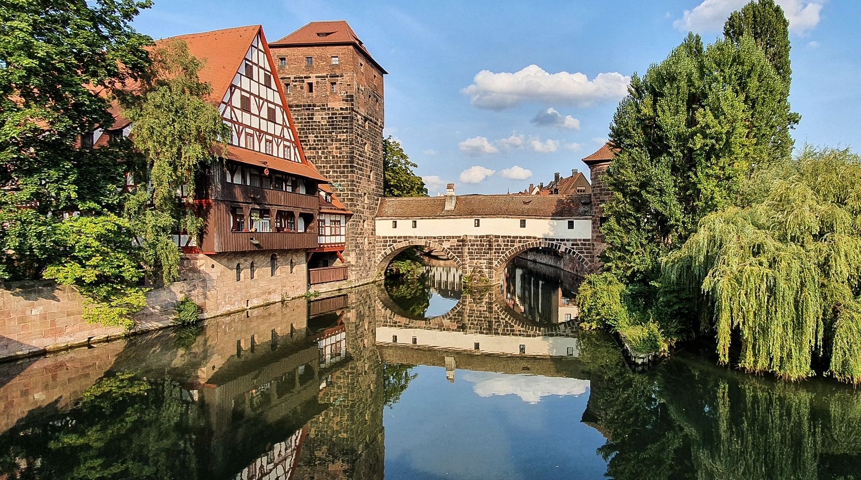
Well-preserved gatehouse. Built almost 700 years ago, it served as the entrance to the city. Today, it characterizes the beautiful medieval appearance of the old town.
6
0
Frequently Asked Questions
How many urban hiking trails can I find in Sebalder Reichswald?
There are over 440 urban hiking routes available in the Sebalder Reichswald area. The vast majority, more than 380, are considered easy, making them accessible for most hikers.
What kind of terrain can I expect on urban hikes in Sebalder Reichswald?
The Sebalder Reichswald is characterized by extensive forest cover, primarily pine, giving it a distinctive feel. The soil is predominantly sandy, which fosters unique flora like blueberry and cranberry bushes. You might encounter ancient dunes, especially on routes near Weissenbrunn, and varied terrain with some areas reaching over 400 meters in elevation.
Are there any family-friendly urban hiking routes in Sebalder Reichswald?
Yes, many of the urban hikes in Sebalder Reichswald are suitable for families. The area's predominantly easy trails and diverse natural features make it a great place for all ages. For a pleasant, easy walk, consider the Bitterbachsee loop from Lauf an der Pegnitz, which offers a scenic experience without significant elevation changes.
Can I bring my dog on the urban hiking trails?
Yes, the Sebalder Reichswald is generally dog-friendly, and many urban trails are suitable for walks with your canine companion. It's always a good idea to keep your dog on a leash, especially in areas with wildlife or near other hikers, and to respect local regulations.
What are some interesting natural features or landmarks to look out for?
The region offers several natural highlights. You can explore the unique sandy terrain, including ancient dunes. The Weißensee, famously painted by Albrecht Dürer, is located within the Erlenstegener Forst. Another notable spot is the Zeller Brünnlein, a restored spring that provides a pleasant resting place. For a unique educational experience, the "Bodenlehrpfad Kalchreuth-Wolfsfelden" (Soil Educational Trail) guides visitors through the region's geological history.
Are there any circular urban hiking routes available?
Yes, many urban hiking routes in Sebalder Reichswald are circular, offering convenient starting and ending points. For example, the View of the Pegnitz River loop from Lauf an der Pegnitz is an easy circular route that allows you to enjoy the scenery and return to your starting point.
What do other hikers enjoy most about urban hiking in Sebalder Reichswald?
The Sebalder Reichswald is highly rated by the komoot community, with an average score of 4.5 stars. Hikers often praise the extensive, peaceful forest trails, the unique sandy landscapes, and the accessibility of routes for various fitness levels. The combination of nature and proximity to urban areas makes it a popular choice for a quick escape into the outdoors.
How can I reach the urban hiking trails using public transport?
Public transport options are available to reach various access points around the Sebalder Reichswald. Depending on your starting point, you can use local buses or regional trains to get close to trailheads. It's advisable to check local transport schedules for specific routes and stops that align with your chosen hike.
Are there places to eat or drink near the urban hiking trails?
Yes, as the guide focuses on urban hikes, you'll find various cafes, pubs, and restaurants in the towns and villages bordering the Sebalder Reichswald, such as Lauf an der Pegnitz. These establishments offer opportunities to refuel before or after your hike.
What is the best time of year for urban hiking in Sebalder Reichswald?
The Sebalder Reichswald offers enjoyable urban hiking experiences throughout the year. Spring brings fresh greenery, while summer provides shade under the extensive forest canopy. Autumn is particularly beautiful with changing leaf colors, and even winter can be charming with crisp air and potentially snow-dusted landscapes. The sandy soil generally ensures good trail conditions even after rain.
Are there any specific points of interest related to cycling near the urban hiking routes?
While this guide focuses on hiking, the Sebalder Reichswald is also popular for cycling. You can find several bike parks and trails nearby, such as the Heroldsberg Forest Singletrail or the Stromtrasse Heroldsberg Downhill. These can be interesting to note if you're also a cycling enthusiast.
Most popular routes around Sebalder Reichswald
Most popular attractions around Sebalder Reichswald

Get inspired with the komoot mobile app


Explore more
Browse the best Hikes in other regions.
