The best hikes from bus stations around Brothers Water
4.6
(10718)
91,728
hikers
201
hikes
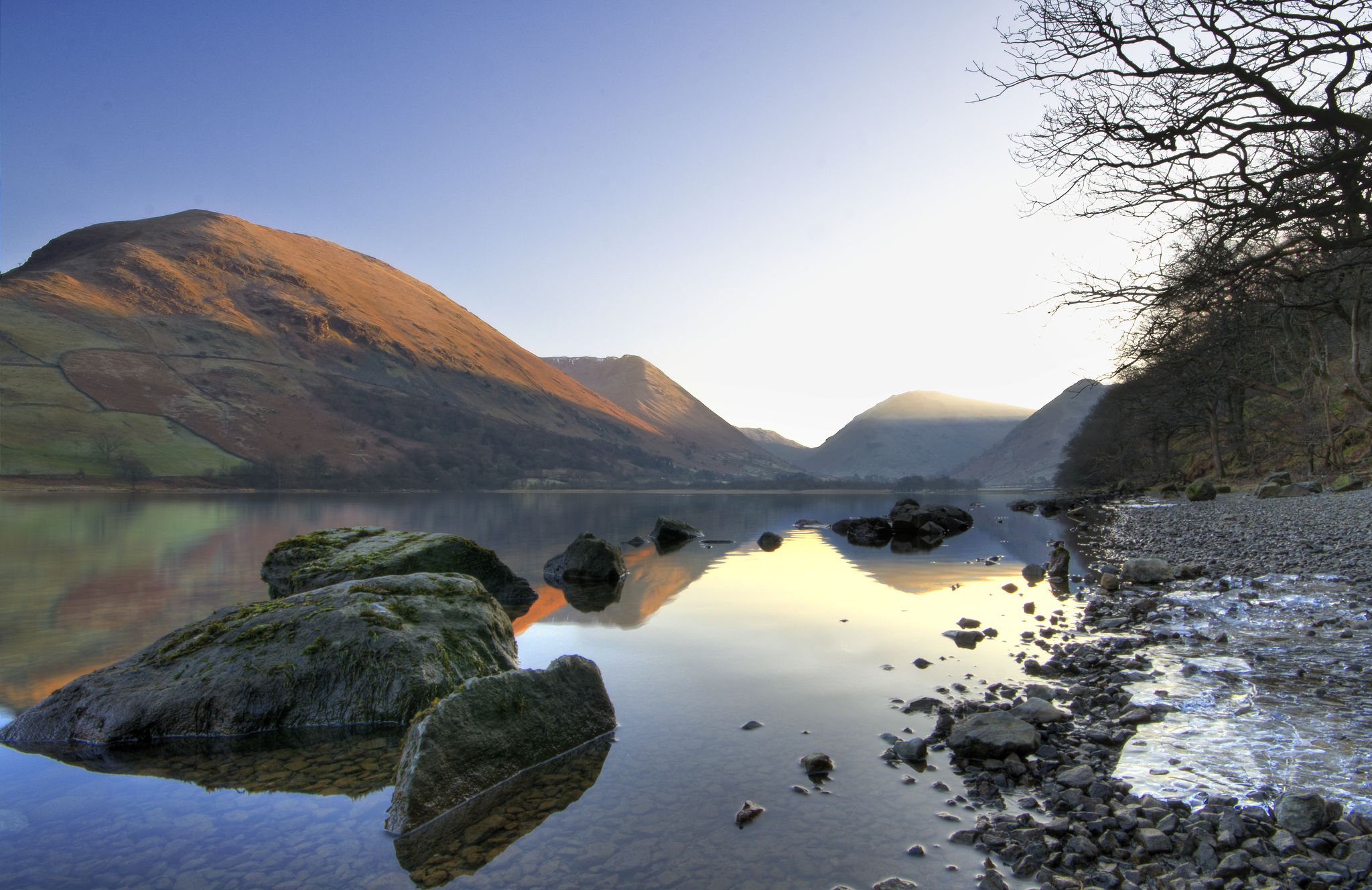
Hiking around Brothers Water offers diverse landscapes within the Hartsop Valley, characterized by woodlands, green fields, and dramatic fells. The region features peaks such as Hart Crag, Dove Crag, and High Hartsop Dodd, contributing to varied terrain. Brothers Water itself is a shallow lake with reed beds, providing a serene backdrop for trails. The area's topography includes a mix of valley paths and higher fell routes.
Best bus station hiking trails around Brothers Water
- The most popular bus station hiking…
Last updated: August 9, 2026
4.9
(44)
343
hikers
14.4km
04:35
500m
500m
Moderate hike. Good fitness required. Mostly accessible paths. Sure-footedness required.
4.7
(31)
286
hikers
9.86km
03:58
710m
710m
Moderate hike. Good fitness required. Mostly accessible paths. Sure-footedness required.

Sign up for free
4.6
(28)
224
hikers
11.2km
04:10
670m
670m
Moderate hike. Good fitness required. Easily-accessible paths. Suitable for all skill levels.
5.0
(15)
174
hikers
14.8km
05:38
810m
810m
Hard hike. Very good fitness required. Mostly accessible paths. Sure-footedness required.
4.7
(13)
85
hikers
7.51km
02:48
460m
460m
Moderate hike. Good fitness required. Mostly accessible paths. Sure-footedness required.
Get access to more routes and recommendations from other explorers.
Sign up for free
Already have an account?
Our route recommendations are based on thousands of hikes, rides, and runs completed by other people on komoot.
Start today with a free account
Your next adventure awaits.
Login or Signup
Popular around Brothers Water
Other adventures around Brothers Water

Tips from the Community


From the campsite to the next summit. Good footwear makes it easier.
0
0

Book a table for food in advance, book the campsite in advance too
0
0

We did the loop from Hartsop over The Knott, High Street, Thornthwaite Crag and back through the Pasture Beck valley. (12 km)
0
0

High Hartsop Dodd is not really a mountain summit. It is the tail end of a marvellous ring of Wainwrights if you have been doing the Dovedale Round. There are fine views from here across to Hartsop Dodd itself and over Brothers Water. It has a small cairn on its smooth broad summit.
0
0
Middle Dodd is a great little Wainwright, and it is really just a minor summit on the north ridge of Red Screes. It has a fine pyramidal peak when seen from Brother's Water area, and if you are coming down from Red Screes, you won't have much of a problem getting to it. There are great views down towards Patterdale and Ullswater from here.
0
0
Red Screes, at a rocky 776 meters (2,546 feet), is famous for its steep approach from Red Screes. It's a good, stiff walk and can be a bit hands-on here and there, but the trail is good and well marked. It has a trig point and a stone shelter at the summit. It is wise to be careful here in poor visibility, as the drops are severe. I would make a comment about the views, but I couldn't see much today.
0
0
Hartsop Above How sits between Hart Crag and Gale Crag by boggy undulating ground that drops northeast towards Patterdale. There is no prominent summit marker here, just an outcrop of just a broad mound of earth. I would have liked to have said something about the views, but I didn't see anything today.
0
0
Frequently Asked Questions
How many hiking trails around Brothers Water are accessible by bus?
There are over 200 hiking trails around Brothers Water that are easily accessible by bus. This guide focuses specifically on routes that start conveniently from bus stops, offering a wide range of options for all skill levels.
What kind of terrain can I expect on bus-accessible hikes around Brothers Water?
The terrain around Brothers Water is quite varied. You'll find a mix of woodlands, green fields, and dramatic fells. Routes can range from gentle strolls along the lake's shoreline to more challenging ascents up peaks like Hart Crag, Dove Crag, and High Hartsop Dodd. Expect well-maintained paths on easier routes and more rugged, sometimes steep, terrain on moderate to difficult trails.
Are there easy, family-friendly hiking options from bus stops near Brothers Water?
Yes, Brothers Water offers several easy and family-friendly options. The area is known for gentle walks around the lake, perfect for all ages. While specific routes are detailed in the guide, many trails provide easy access to the lake's shoreline and opportunities for wildlife spotting.
Can I bring my dog on bus-accessible hikes around Brothers Water?
Many trails around Brothers Water are dog-friendly, making it a great destination for hiking with your canine companion. However, always keep dogs on a lead, especially near livestock and to protect local wildlife. Be mindful of any specific signage on trails regarding dog access.
What are some notable natural features or viewpoints I can see on these bus-accessible hikes?
Hiking around Brothers Water offers stunning natural features. You'll experience the serene Brothers Water itself, with its shallow waters and reed beds, and the picturesque Hartsop Valley. Many routes provide panoramic views from fells like Hart Crag and High Hartsop Dodd. For a challenging route with expansive vistas, consider the Thornthwaite Crag Beacon – High Street summit loop from Brothers Water.
Are there any circular hiking routes starting from bus stops?
Yes, many of the bus-accessible routes around Brothers Water are circular, allowing you to start and end your hike at the same bus stop without needing to retrace your steps. For example, the Hartsop Above How – Brothers Water loop from Caudale Moor is a moderate circular option.
What is the best time of year to hike around Brothers Water using public transport?
Brothers Water is beautiful year-round, but each season offers a different experience. Spring brings wildflowers, summer offers longer daylight hours, and autumn provides stunning foliage. Winter hikes can be magical but require appropriate gear and experience due to potentially challenging conditions on higher fells. Always check local weather forecasts before heading out.
Are there any moderate to difficult bus-accessible hikes for experienced hikers?
Absolutely. For experienced hikers seeking a challenge, there are several moderate to difficult routes. The Brothers Water – Angle Tarn loop from Caudale Moor is a popular moderate choice, while the Red Screes summit cairn – Middle Dodd loop from Caudale Moor offers a more demanding experience with significant elevation gain.
What do other hikers say about the bus-accessible trails around Brothers Water?
The komoot community highly rates the hiking experiences around Brothers Water, with an average score of 4.6 stars. Hikers often praise the diverse landscapes, the tranquility of the lake, and the accessibility of trails from public transport. Many appreciate the clear paths and the stunning views from the fells.
Are there pubs or cafes near the bus stops for a post-hike refreshment?
Yes, there are options for refreshments after your hike. While specific establishments vary by bus stop, the Brotherswater Inn is a well-known spot in the area. It's always a good idea to check opening times, especially outside of peak season.
How long do the bus-accessible hikes typically take around Brothers Water?
Hike durations vary significantly depending on the route's distance and difficulty. Easier strolls around the lake might take just over an hour, while moderate routes like the High Hartsop Dodd – Little Hart Crag loop from Caudale Moor can take around 2-3 hours. More challenging fell walks can extend to 5 hours or more, so plan accordingly based on your fitness level and daylight hours.
Most popular routes around Brothers Water

Get inspired with the komoot mobile app


Explore more
Browse the best Hikes in other regions.
