The best traffic-free bike rides around Broomlee Lough
4.6
(16)
172
riders
22
rides
Gravel biking around Broomlee Lough offers routes through a landscape characterized by open moorland, rolling hills, and dramatic crags formed by the Whin Sill. The area features an inland lake, Broomlee Lough, which is a Site of Special Scientific Interest. Routes often incorporate sections of historic Roman fortifications, as the lough is situated immediately north of Hadrian's Wall. This allows for exploration of both natural beauty and historical landmarks.
Best no traffic gravel bike trails around Broomlee Lough
- The most…
Last updated: October 2, 2026
18
riders
80.8km
05:38
1,000m
1,000m
Hard gravel ride. Very good fitness required. Mostly paved surfaces. Suitable for all skill levels.
13
riders
33.8km
02:45
360m
360m
Moderate gravel ride. Good fitness required. Mostly paved surfaces. Suitable for all skill levels.

10
riders
66.4km
04:43
690m
690m
Hard gravel ride. Very good fitness required. Mostly paved surfaces. Suitable for all skill levels.
7
riders
60.7km
04:21
750m
750m
Hard gravel ride. Very good fitness required. Mostly paved surfaces. Suitable for all skill levels.
2
riders
28.9km
02:17
270m
270m
Moderate gravel ride. Good fitness required. Mostly paved surfaces. Suitable for all skill levels.
Get access to more routes and recommendations from other explorers.
Already have an account?
Our route recommendations are based on thousands of hikes, rides, and runs completed by other people on komoot.
Start today with a free account
Your next adventure awaits.
Popular around Broomlee Lough
Tips from the Community

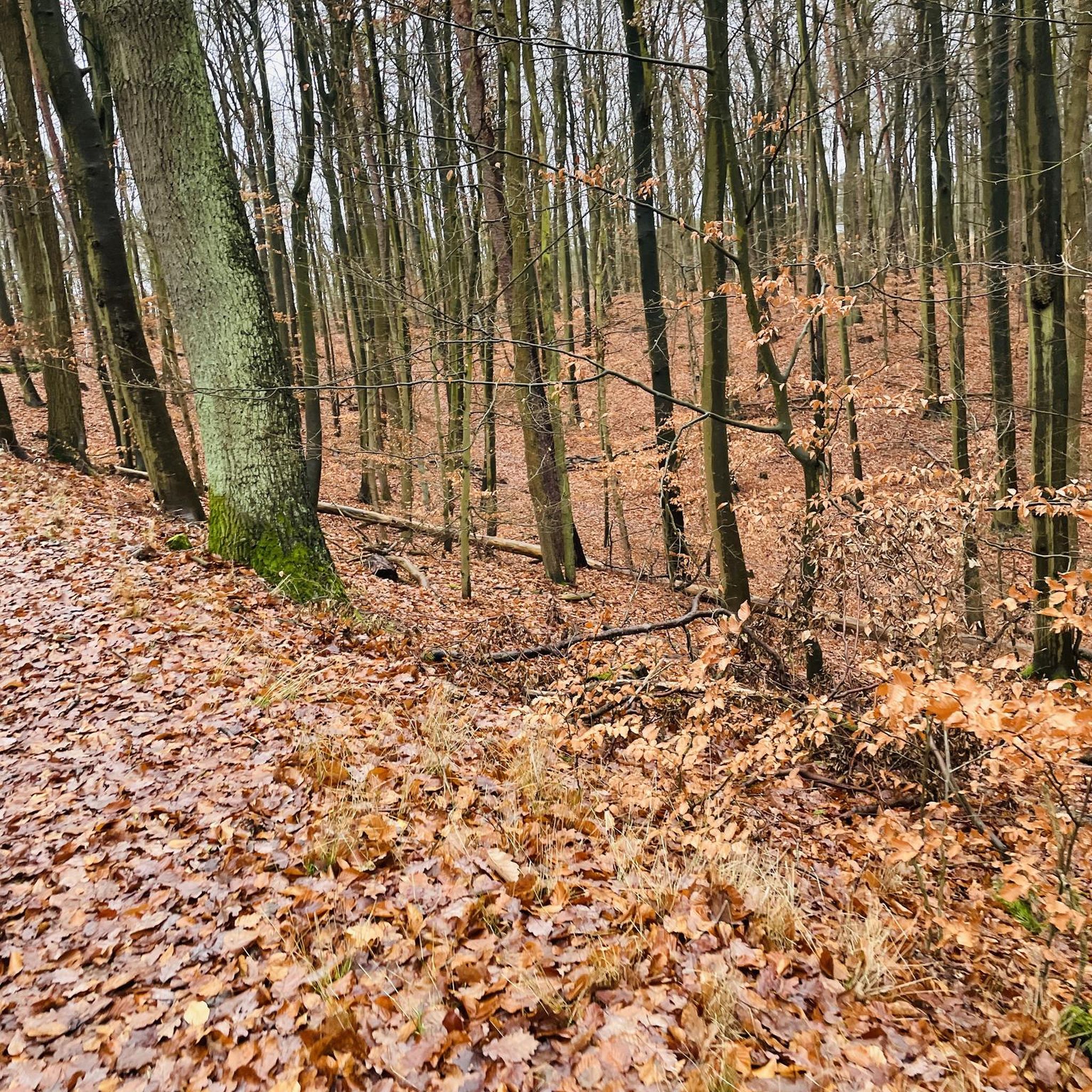
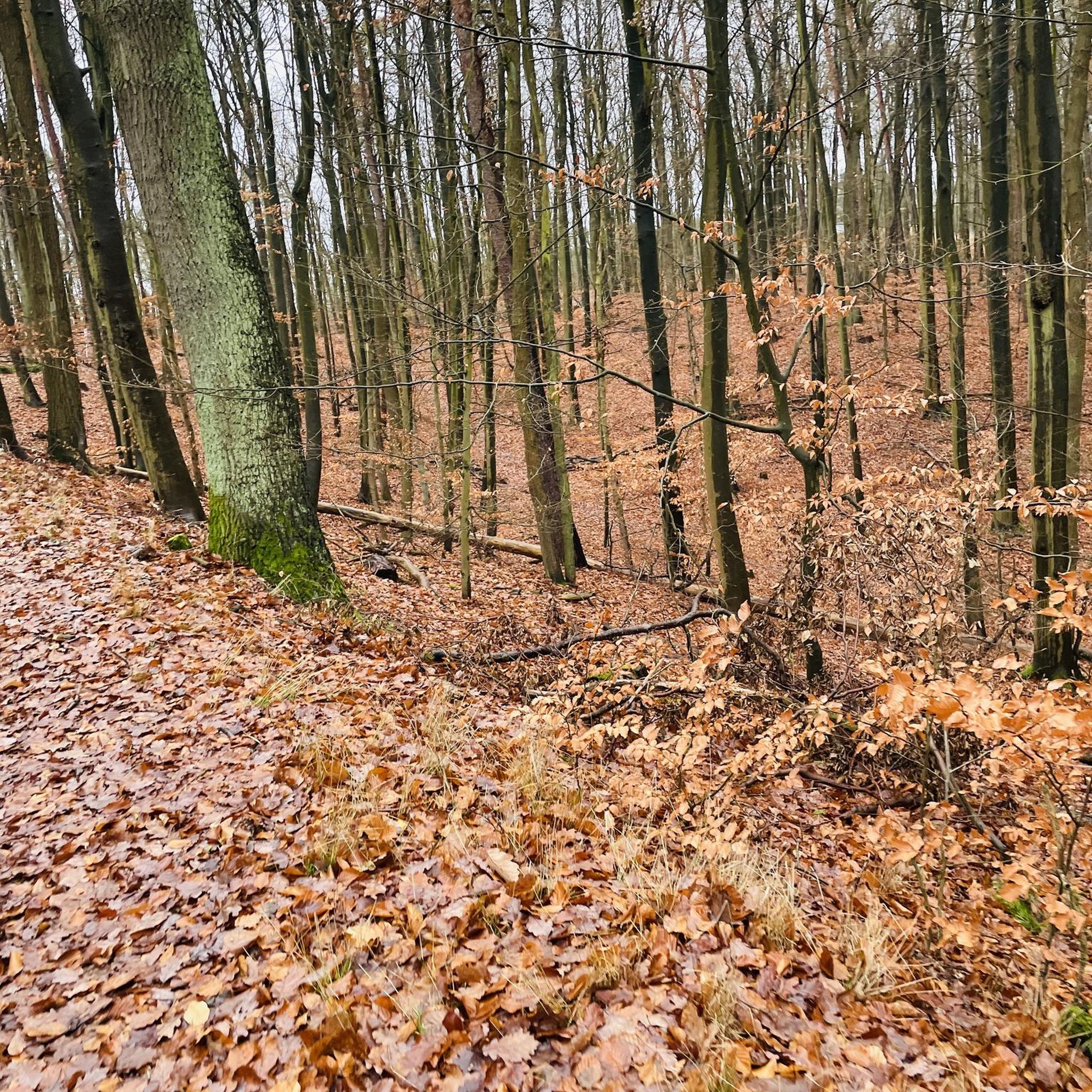
Several trees across path , very difficult lifting over or going underneath.
0
0

Cawfields Quarry is a former quarry located directly on Hadrian's Wall near Haltwhistle. Constructed in the early 20th century, the quarry cut through the Roman wall, exposing the underlying dolerite rock of the Whin Sill. This geological formation formed a natural defensive line upon which the Romans built their wall. Following the quarry's closure, the site has been redeveloped into a peaceful recreation area with a picturesque lake, picnic areas, and walking trails. The area offers direct access to Milecastle 42.
9
1
You don't see much here, but the trail is nice and the scenery is picturesque.
11
0
Kielder Castle is a charming 18th-century hunting lodge in Northumberland, built in 1775 for the Duke of Northumberland. Today, it serves as a vibrant visitor center and the starting point for numerous walking and cycling routes, including the famous Lakeside Way. Although the castle is currently undergoing renovations, the information center remains open and the surrounding facilities are accessible. It's an ideal base for exploring England's largest forest. It houses the Kielder Visitor Center and the Cafe at the Castle.
11
0
This modest yet charming suspension bridge is part of the Lakeside Way, the walking and cycling path around Kielder Water. Suspended above the tranquil Lewis Burn, it offers beautiful views of the surrounding pine forest and the rippling water. With its simple steel construction and wooden deck, it is a prime example of functional forest infrastructure—perfectly integrated into the landscape. For cyclists and walkers, it's a lovely spot for a short break, a photo, or simply to reflect on the tranquility of the forest.
10
0
The southern shore of the Lakeside Way offers a scenic route along the UK's largest man-made lake. This well-maintained multi-user trail winds through woodland, past art installations, and offers waterfront views, with frequent encounters with red squirrels and ospreys.
11
0
You're on the Lakeside Way (south), which includes both NCN 10 and the Reivers Route. This well-maintained multi-user trail winds through forests, past art installations, and offers water views, with regular encounters with red squirrels and ospreys.
11
0
At the Kielder Dam spillway, three striking stones—known as the Waterstones—commemorate the reservoir's official opening by Queen Elizabeth II in May 1982. This understated art installation offers views of the vast water, the imposing valve tower, and the technical heart of England's largest hydroelectric system. Cyclists following the Reivers Route will find a place where art, nature, and infrastructure converge—a brief stop that invites reflection and a photo with royal flair.
12
0
Frequently Asked Questions
How many no-traffic gravel bike trails are available around Broomlee Lough?
There are over 20 dedicated no-traffic gravel bike trails around Broomlee Lough, offering a variety of distances and difficulties for a peaceful ride away from cars.
What kind of terrain can I expect on the no-traffic gravel trails near Broomlee Lough?
The terrain around Broomlee Lough is characterized by open moorland and rolling hills, often incorporating sections of historic Roman fortifications. You'll encounter gravel paths that are generally well-suited for gravel bikes, with some ascents and descents reflecting the area's dramatic crags and the Whin Sill geological formation.
Are there any family-friendly no-traffic gravel bike routes around Broomlee Lough?
Yes, while many routes offer a moderate challenge, there are options suitable for families looking for quieter paths. Look for routes with less elevation gain and shorter distances. For example, the Wyate Bridge – View of the Road to Falstone loop from Stonehaugh is a moderate option that might be suitable for more experienced families, offering a good balance of distance and elevation.
What historical landmarks or natural features can I see along these gravel bike trails?
Many trails run alongside or near Hadrian's Wall, allowing you to combine your ride with visits to iconic historical sites. You might also encounter the dramatic crags of Dove Crag rising above Broomlee Lough itself, which is a Site of Special Scientific Interest (SSSI) and Special Area of Conservation (SAC). Popular viewpoints like Sycamore Gap and Steel Rigg, and Housesteads Roman Fort, are also in the vicinity and can be incorporated into your adventure.
Where can I park when visiting the no-traffic gravel bike trails around Broomlee Lough?
Parking is generally available at common starting points for trails in the area, such as Stonehaugh. It's advisable to check specific route details on komoot for recommended parking locations, as options can vary depending on your chosen starting point.
What is the best season for gravel biking around Broomlee Lough?
Spring and autumn often offer the most pleasant conditions for gravel biking around Broomlee Lough, with milder temperatures and beautiful scenery. Summer can be great too, but be prepared for potentially busier trails. Winter riding is possible, but conditions can be challenging with colder weather and potentially muddy or icy paths.
Are there any longer, more challenging no-traffic gravel routes for experienced riders?
Absolutely. For experienced riders seeking a longer, more challenging adventure, routes like the Kielder Water Cycle Path – Lakeside Way loop from Stonehaugh offer significant distance and elevation gain. Another demanding option is the Kielder Dam and Reservoir – Kielder Dam loop from Stonehaugh, which provides a substantial ride through varied terrain.
What amenities like cafes or pubs are available near the no-traffic gravel trails?
While the trails themselves offer a sense of remoteness, you'll find amenities in nearby villages and towns. Stonehaugh, a common starting point, may have limited options. For more choices, consider towns slightly further afield for cafes, pubs, and accommodation, which can be a welcome stop before or after your ride.
What do other gravel bikers enjoy most about the no-traffic trails in Broomlee Lough?
The komoot community highly rates the gravel biking experience around Broomlee Lough, with an average score of 4.8 stars. Riders frequently praise the tranquility of the no-traffic routes, the stunning open moorland landscapes, and the unique opportunity to cycle alongside historic sites like Hadrian's Wall.
Are there any circular no-traffic gravel bike routes available?
Yes, many of the no-traffic gravel bike routes around Broomlee Lough are designed as circular loops, allowing you to start and end at the same point. This is convenient for parking and exploring the diverse landscapes without retracing your steps. For example, the Wooden Bridge Over the River – Scotchcoulthard loop from Stonehaugh is a challenging circular route.
What should I know about weather and seasonal conditions when planning a gravel bike ride?
The weather in Northumberland can be changeable. Always check the forecast before heading out, especially for wind and rain, as conditions on open moorland can shift quickly. In winter, trails may be wet, muddy, or even icy, requiring appropriate gear and caution. During warmer months, sun protection is advisable due to the exposed nature of some routes.
Most popular routes around Broomlee Lough

Get inspired with the komoot mobile app


Explore more
Browse the best Gravel rides in other regions.
