Réserve Naturelle du massif du Grand Ventron
Réserve Naturelle du massif du Grand Ventron
Top 5 Mountain Passes around Réserve Naturelle du massif du Grand Ventron
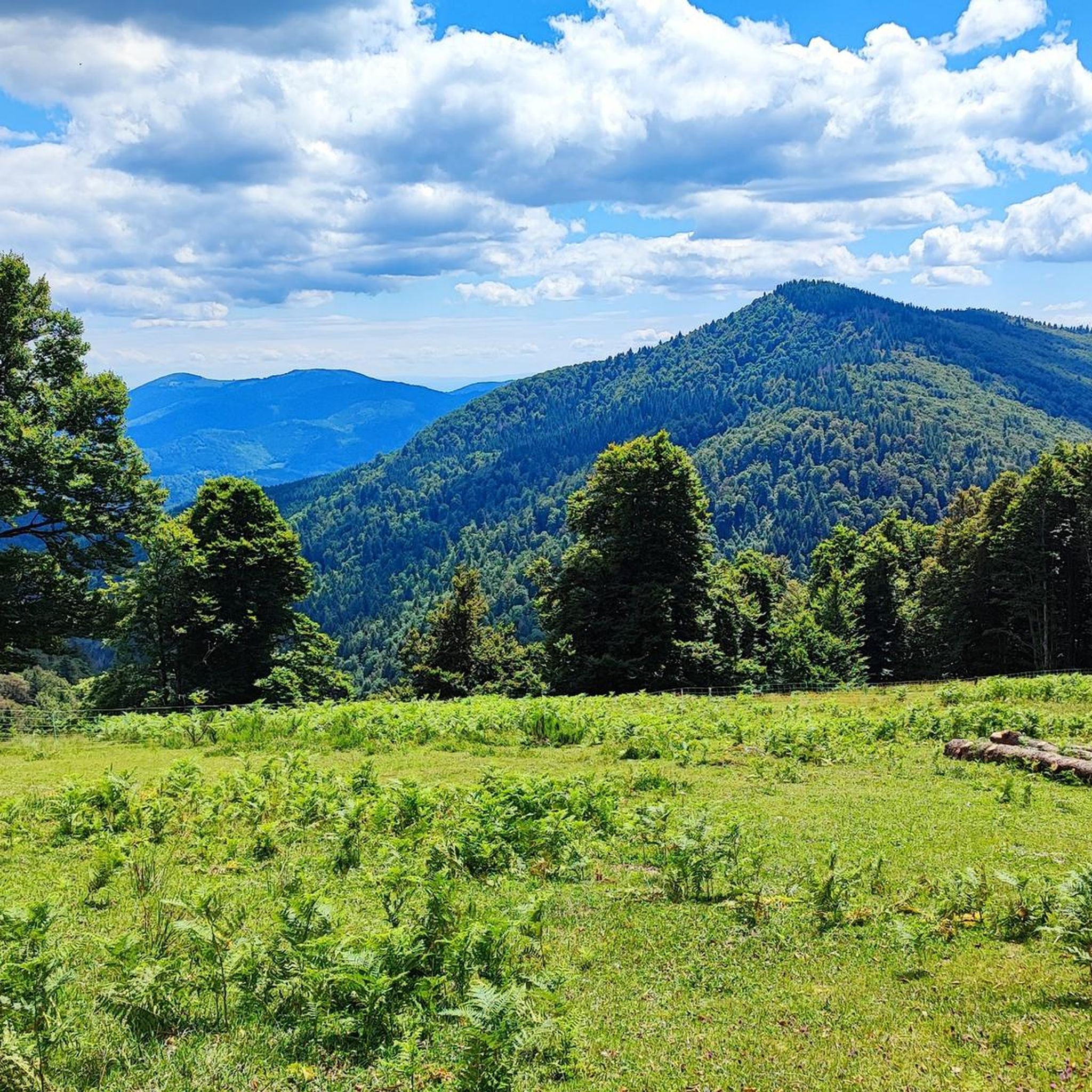
Best mountain passes around Réserve Naturelle du massif du Grand Ventron are found within the Vosges mountains, an area spanning 1647 hectares between 720 and 1204 meters in altitude. This natural reserve features diverse landscapes, including forests, peat bogs, and high-altitude meadows. The passes serve as access points for exploring the region's trails and summits. They provide opportunities for various outdoor activities within a tranquil setting.
Best mountain passes around Réserve Naturelle du massif du Grand Ventron
- The most popular…
Last updated: October 27, 2026
Col du Bramont (Southwest)
Highlight (Segment) • Mountain Pass
With a length of 7 kilometers, this pass has a drop of 385 meters, with a maximum gradient of 7%.
Translated by Google •
Tip by

Oderen Pass
Highlight • Mountain Pass
Showing Translation
Tip by

Sign up now to discover places like this
Get recommendations on the best single tracks, peaks, & plenty of other exciting outdoor places.
Climbing the Col d'Oderen from Kruth
Highlight (Segment) • Climb
Few cars use this road, allowing you to reach the summit, at 884 meters, in peace and safety.
Translated by Google •
Tip by
Virgin Pass
Highlight • Mountain Pass
Easily accessible from Lac des Corbeaux and the Col de Bramont.
Beautiful nature in the Massif du Grand Ventron.
More information: reserves-naturelles.org/massif-du-ventron
Translated by Google •
Tip by

Pourri Faing Boardwalk and Tundra Meadow
Highlight • Trail
Very beautiful place of power. 🤩😍
Translated by Google •
Tip by

Start today with a free account
Your next adventure awaits.
Popular around Réserve Naturelle du massif du Grand Ventron
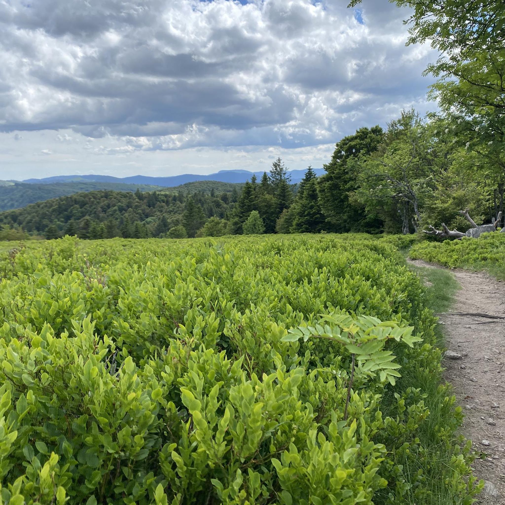
Road Cycling Routes around Réserve Naturelle du massif du Grand Ventron
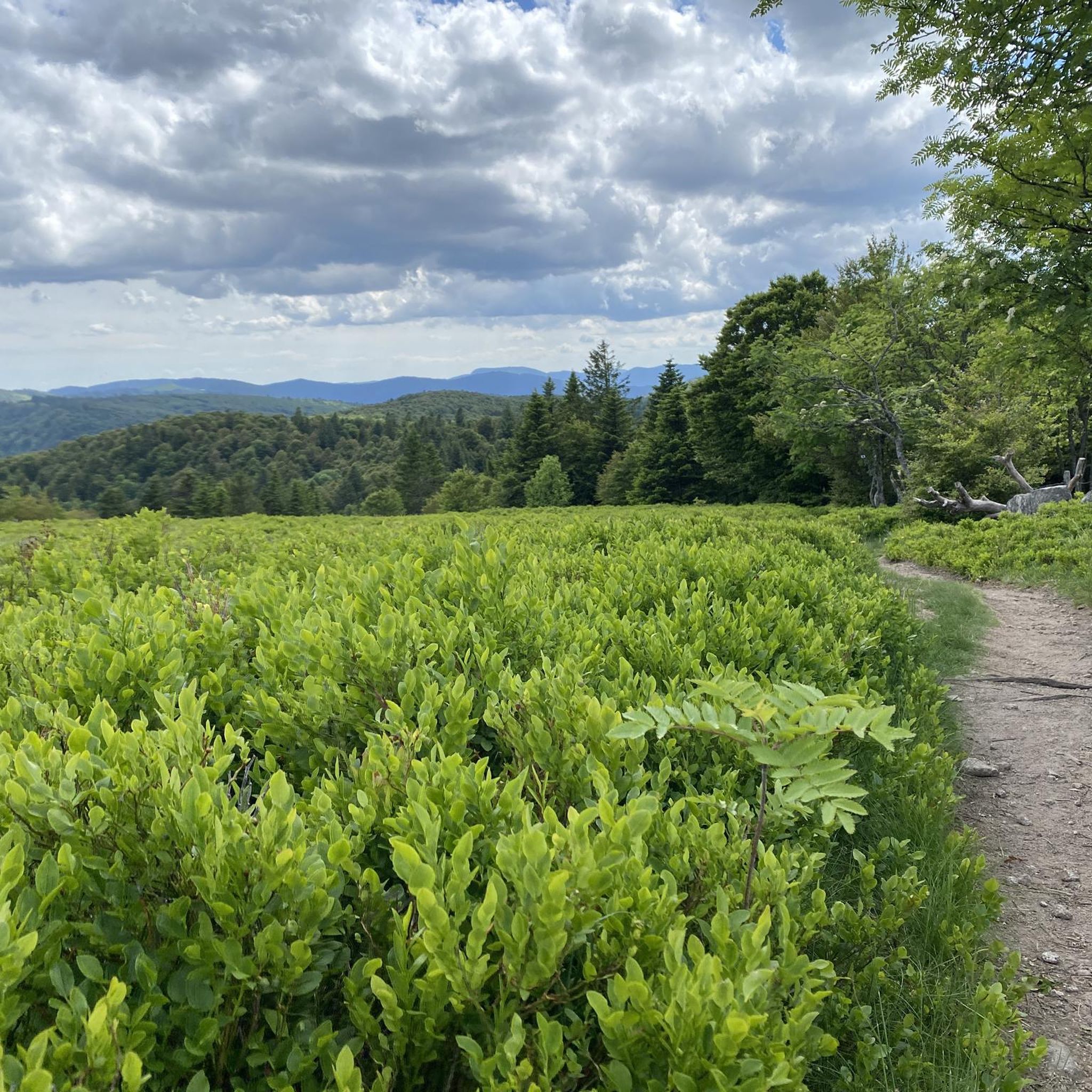
Cycling around Réserve Naturelle du massif du Grand Ventron
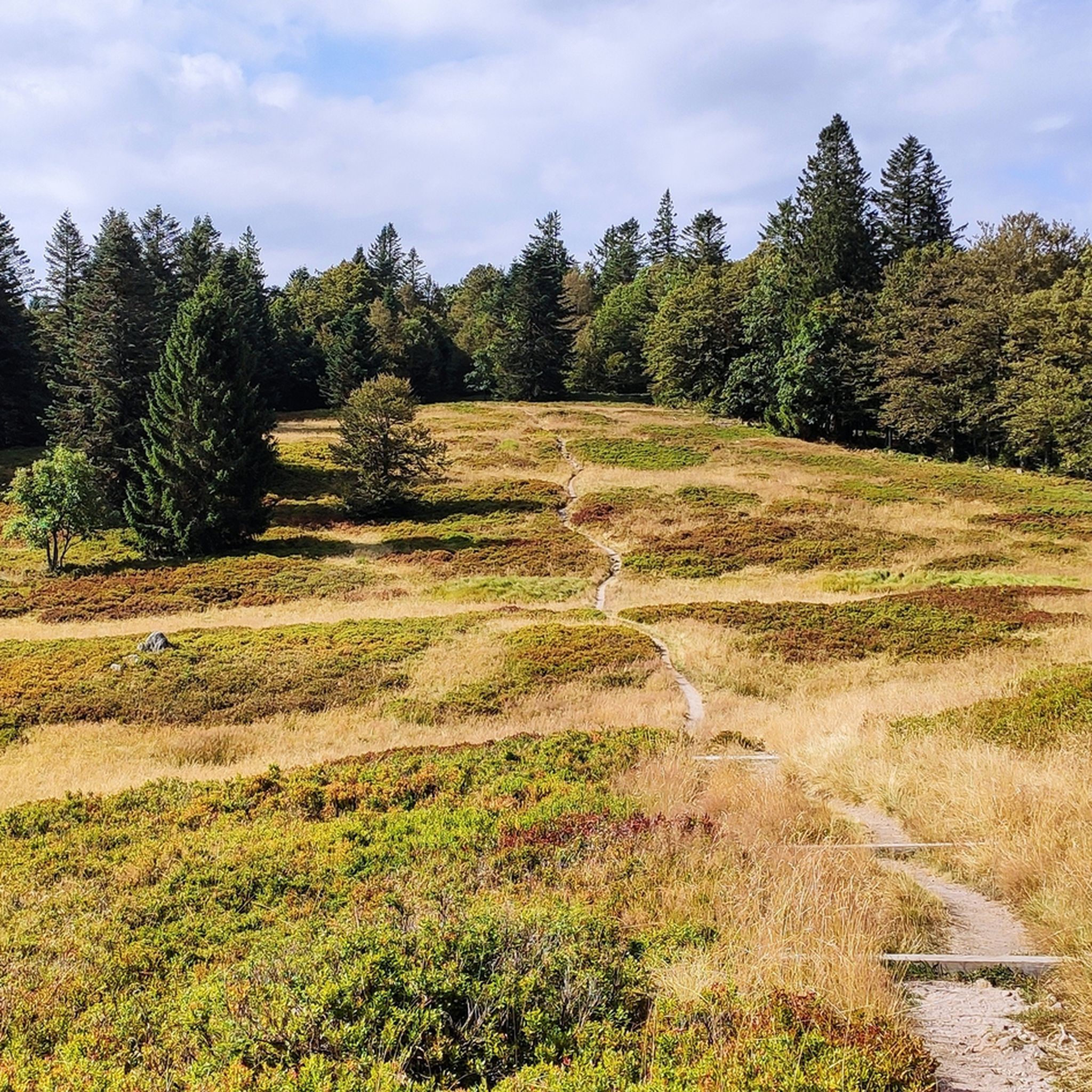
Hiking around Réserve Naturelle du massif du Grand Ventron
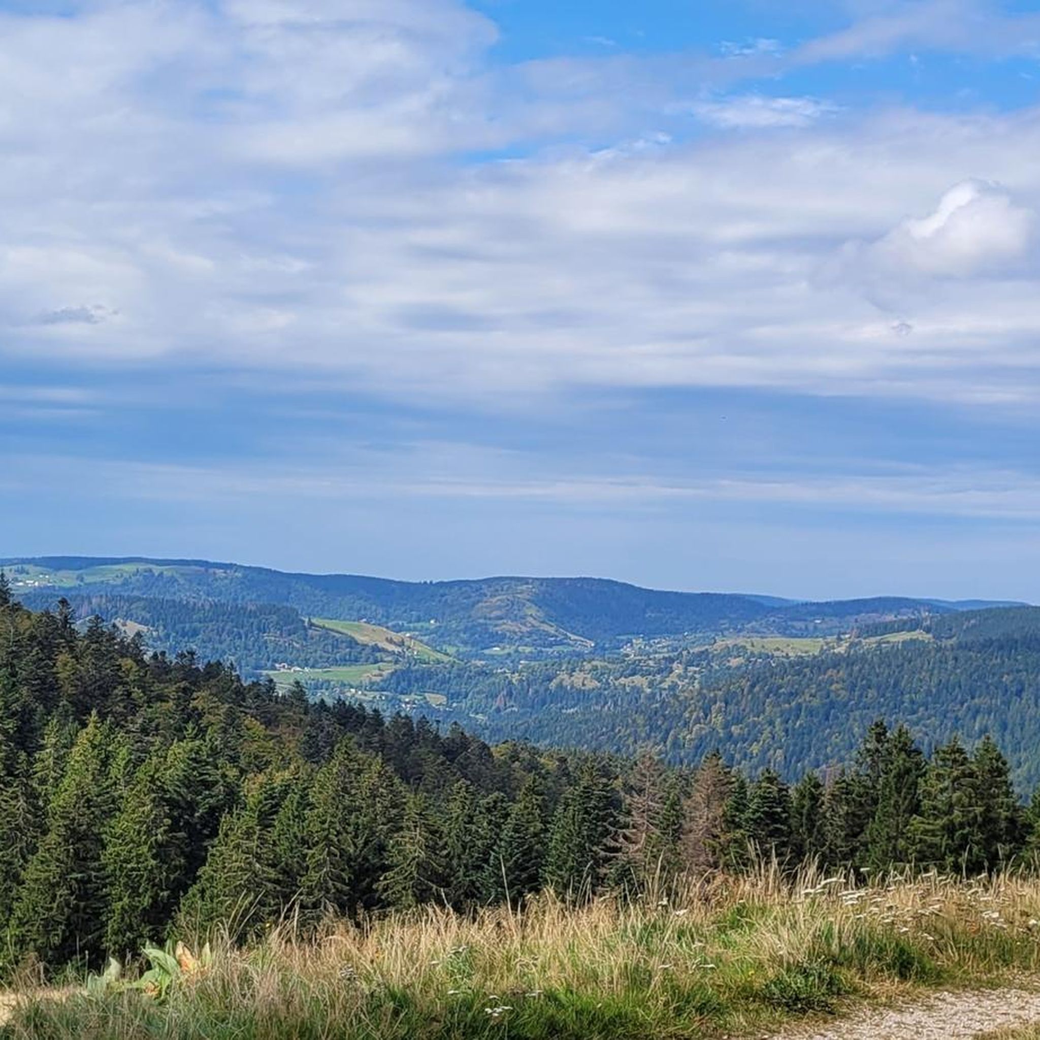
MTB Trails around Réserve Naturelle du massif du Grand Ventron
Running Trails around Réserve Naturelle du massif du Grand Ventron

Gravel biking around Réserve Naturelle du massif du Grand Ventron

Mountain Hikes around Réserve Naturelle du massif du Grand Ventron
Tips from the Community

The climb starts relatively calmly; the first 4.5 kilometers hardly show any significant incline, while the road runs slightly undulating along the Lac de Kruth-Wildenstein reservoir. Only after that does the real climbing work begin over a distance of about 3.5 to 4 kilometers. From that moment on, the road winds its way up via 12 characteristic hairpin bends. The gradient during this section is very constant and fluctuates almost continuously around 5 to 6%, making the climb ideal for finding a steady rhythm. The road is well-asphalted and leads entirely through a dense pine forest. This allows you to cycle delightfully in the shade, although due to the dense vegetation at the top and during the climb, there are few sweeping views of the valley. Once at the top (955m), you can descend directly to the north side towards La Bresse or join the well-known Route des Crêtes to extend the ride to, for example, the Col de la Schlucht or the Grand Ballon.
6
0
The Col d' Oderen is an 8.2 kilometer climb. This is a category 3 climb. It is located in Cornimont, Lorraine, France. The average gradient of this climb is 3.9% with a maximum of 6%. The Col d' Oderen rises from 573 meters at the start to 885 meters at the top, with a total of 312 meters of elevation gain.
7
0


The route to the Col d'Oderen is beautiful. The Col is perhaps not as well known as many of the others in the region, but it is highly recommended as it is very scenic and easy to ride.
1
0

Almost car-free! Small, narrow road shelters from the sun, easy and short climb from Bramont
1
1


Protected area that reminds me of a moor, but is referred to as Petit Tundra on an information board. Very beautiful place of power. 🤩😍
2
0

For when you want to get off the beaten track.
1
0
Frequently Asked Questions
What are the primary access points to the Réserve Naturelle du massif du Grand Ventron?
The main access points to the reserve are the Col du Bramont (Southwest) to the north and the Oderen Pass to the south. Both passes offer starting points for various trails and provide entry into the diverse landscapes of the Vosges mountains.
Are there family-friendly trails accessible from the mountain passes?
Yes, the area offers several family-friendly options. From Oderen Pass, you can find an easier 6.13km loop offering panoramic views of the Vosges Mountains. Additionally, the Pourri Faing Boardwalk and Tundra Meadow is a protected area with a boardwalk, ideal for a gentle, family-friendly exploration of a unique moor-like environment.
What kind of hiking trails can I find near the mountain passes?
The mountain passes serve as gateways to a wide range of hiking trails. From Col du Bramont (Southwest), you can embark on an easy 4.98km loop or a more challenging 15.3km hike like the 'Roche du Lac – Col de Bramont loop'. From Oderen Pass, options include a moderate 13.2km trail to the Grand Ventron Summit or a 6.13km loop for scenic views. For more hiking options, explore the hiking guide for the Réserve Naturelle du massif du Grand Ventron.
Can I cycle on the mountain passes in the Réserve Naturelle du massif du Grand Ventron?
Absolutely. Passes like Col du Bramont (Southwest) are known for their moderate slopes and good road surfaces, making them enjoyable for cycling. The climb to Oderen Pass from Kruth also features an even slope and good asphalt, with relatively low traffic, offering a peaceful and scenic ride. The Chemin Béry forest road from Col de Bramont also leads to other scenic spots.
What natural features and viewpoints can I expect to see from the passes?
The passes offer access to stunning natural features. From Col du Bramont (Southwest), you can easily reach Lac des Corbeaux. The Virgin Pass is a notable viewpoint itself, leading through high-altitude forests. The area is characterized by diverse landscapes including vast forests, unique peat bogs, and high-altitude meadows. On clear days, views from higher points like the Grand Ventron Summit can extend to the Bernese Alps.
What is the best time of year to visit the mountain passes?
The best time to visit is generally from spring through autumn when the weather is milder and trails are clear of snow. During these seasons, you can fully enjoy hiking, cycling, and the vibrant natural landscapes. While winter offers a different, serene beauty, some trails and roads might be affected by snow and ice, requiring appropriate gear and caution.
Are there any specific challenges or difficulties for hiking in the Grand Ventron reserve?
Trails within the Réserve Naturelle du massif du Grand Ventron, including those accessible from the passes, can be irregular with significant elevation gains. They traverse a mix of forest, peat bogs, and rocky screes. While easy loops are available, more challenging routes like the 15.3km 'Roche du Lac – Col de Bramont loop' or the 13.2km 'Grand Ventron Summit – Wild Cat Head loop' require a good level of fitness. Always check trail difficulty before embarking.
What do visitors appreciate most about the mountain passes in this region?
Visitors highly appreciate the tranquility and natural beauty of the area. The passes provide access to a network of marked trails for exploration, offering diverse hiking challenges and stunning landscapes. The good road surfaces on passes like Col du Bramont (Southwest) and Oderen Pass are also frequently praised by cyclists.
Are there opportunities for mountain biking near the passes?
Yes, the region offers excellent mountain biking opportunities. You can find various MTB trails around the Réserve Naturelle du massif du Grand Ventron, with routes ranging in difficulty. For example, from Col d'Oderen, you can access routes like the 'Little Drumont Summit – La Bouloie Summit and Cabin loop'. Explore more options in the dedicated MTB trails guide for the Réserve Naturelle du massif du Grand Ventron.
Can I find waterfalls near the mountain passes?
Yes, the area around the Réserve Naturelle du massif du Grand Ventron is home to several waterfalls. While not directly on the passes, many hiking routes from nearby areas can lead you to them. For example, a difficult 21.2km hike from Lac de Kruth to Grand Ventron passes by the Cascade du Bockloch. You can find more information on specific routes in the waterfall hikes guide.
What is the highest point accessible from the passes in the reserve?
The highest point within the Réserve Naturelle du massif du Grand Ventron is the Grand Ventron Summit, reaching 1204 meters. While not a pass itself, it is accessible via various hiking loops originating from passes like Col d'Oderen, offering expansive panoramas on clear days.
Most popular routes around Réserve Naturelle du massif du Grand Ventron
Most popular attractions around Réserve Naturelle du massif du Grand Ventron

Get inspired with the komoot mobile app


Explore more
See even more epic mountain passes by checking out these guides around Réserve Naturelle du massif du Grand Ventron:
