The best hikes from bus stations around Schultheisweiher
4.5
(6419)
36,644
hikers
613
hikes
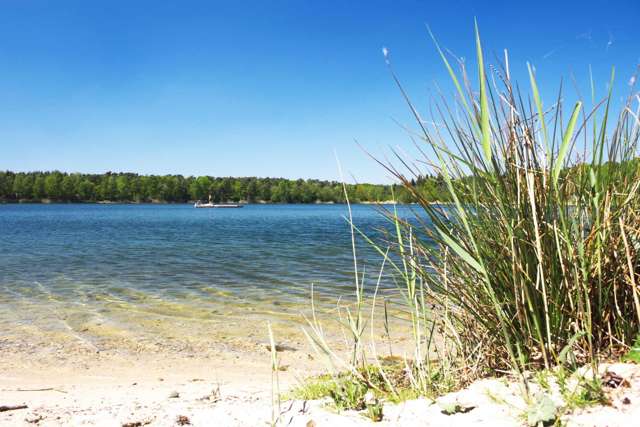
Bus station hiking trails around Schultheisweiher offer access to a diverse landscape characterized by wetlands and the Main River floodplain. This region, located on the eastern side of Offenbach am Main, features an 11-hectare lake and a 27-hectare nature reserve. The trails navigate through meadows, fields, and along the shallow Schultheisweiher lake, which is fed by groundwater. The surrounding Bürgel-Rumpenheimer Mainbogen area provides open natural spaces with views of the Main River.
Best bus station hiking trails around Schultheisweiher
- The…
Last updated: June 29, 2026
4.6
(14)
54
hikers
Easy hike. Great for any fitness level. Easily-accessible paths. Suitable for all skill levels.
4.0
(2)
20
hikers
Easy hike. Great for any fitness level. Easily-accessible paths. Suitable for all skill levels.

Sign up for free
4.8
(4)
19
hikers
Easy hike. Great for any fitness level. Easily-accessible paths. Suitable for all skill levels.
4.6
(9)
36
hikers
Easy hike. Great for any fitness level. Easily-accessible paths. Suitable for all skill levels.
4.5
(2)
21
hikers
5.73km
01:27
10m
10m
Easy hike. Great for any fitness level. Easily-accessible paths. Suitable for all skill levels.
Get access to more routes and recommendations from other explorers.
Sign up for free
Already have an account?
Our route recommendations are based on thousands of hikes, rides, and runs completed by other people on komoot.
Start today with a free account
Your next adventure awaits.
Login or Signup
Popular around Schultheisweiher
Other adventures around Schultheisweiher

Tips from the Community

The Schultheis Weiher pond in the Mainbogen river also freezes over in winter. However, due to the greater depth of the lake, it is more dangerous to venture onto the ice here than on shallow ponds and pools.
2
0

A tiny Jewish cemetery at the end of the road near the lake.
0
0
A hidden, well-trodden path leads along the oxbow lake.
0
0

The entire Fechenheimer Mainbogen is once again a floodplain and thus an important retention area for the Frankfurt urban area.
0
0

The entire Fechenheimer Mainbogen is a floodplain and thus an important retention area for the Frankfurt metropolitan area. In some years, a special natural spectacle occurs here when the vast landscape slowly disappears beneath the floodwaters of the Main and temporarily becomes a lake district. At the Fechenheimer Mainbogen in eastern Frankfurt, the fortified banks of the Main have been redesigned in many places to provide more diversity, allowing its waters to flow through the landscape once again. Since 2015, an approximately 90-hectare area has been home to a near-natural landscape with floodplain characteristics and more diverse habitats for animals and plants. The City of Frankfurt am Main commissioned a preliminary study for such structural improvements in 2008. The study proposed locations for 39 individual measures along Frankfurt's Main riverbanks that would enable the city to implement the objectives of the European Water Framework Directive 2000.
0
0
From the boathouse of the Offenbach Rowing Club you have a great view of the “Isenburg Castle”.
2
0


The Fechemer Bootshaus with its terrace directly on the Fechenheimer Mainuferweg invites you to stop for a short or longer break with a picturesque view of the water. News, opening times and menu: https://fechemer-bootshaus.de/
1
0
Frequently Asked Questions
How many bus station hiking trails are available around Schultheisweiher?
There are over 600 hiking routes around Schultheisweiher that are easily accessible from bus stations. This includes a wide variety of trails, with more than 500 considered easy, making the area very welcoming for all skill levels.
What kind of landscapes can I expect on bus-accessible hikes near Schultheisweiher?
The region offers a diverse mix of landscapes, including extensive wetland areas, the serene Main River floodplain with its meadows and fields, and the beautiful 11-hectare Schultheisweiher lake itself. You'll also find the scenic Bürgel-Rumpenheimer Mainbogen, which provides open spaces with picturesque views.
Are there any easy, circular routes accessible by bus around Schultheisweiher?
Yes, many of the bus-accessible routes are easy and circular. For example, the Schultheisweiher Beach – Rumpenheim Main Ferry loop from Rumpenheim is an easy 5.57 km circular hike that takes you along the lake's accessible shoreline and the Main River.
What natural features or wildlife can I observe on these trails?
Schultheisweiher is a significant bird sanctuary of European importance, so you can often spot a variety of marsh and water birds, including orioles, great spotted woodpeckers, and kingfishers, especially during migration seasons. The trails also lead through rich aquatic habitats and wetland landscapes.
Are there family-friendly hiking options from bus stops in the Schultheisweiher area?
Absolutely. Many paths around Schultheisweiher are easily accessible and suitable for families. The generally flat terrain and well-maintained trails make it ideal for walks with children. Consider the Fichtenhain Forest Shelter – Fechenheimer Weiher loop from Fechenheim, an easy 3.64 km route perfect for a shorter family outing.
What do other hikers enjoy most about the bus-accessible trails around Schultheisweiher?
The area is highly rated by the komoot community, with an average score of 4.5 stars from over 6,000 reviews. Reviewers often praise the peaceful natural setting, the well-maintained paths, and the successful coexistence of recreational amenities with nature protection, especially around the lake.
Can I find routes that offer views of the Main River?
Yes, several routes connect to the Main River, offering pleasant riverside views. The Fechenheim Riverside Promenade – View of Isenburger Schloss loop from Fechenheim is an easy 5.75 km trail that provides lovely perspectives of the river and its surroundings.
Are there any trails that specifically explore the nature reserve aspect of Schultheisweiher?
Yes, you can immerse yourself in the nature reserve. The Schultheisweiher Beach – Schultheißweiher Nature Reserve loop from Fechenheim is an easy 5.91 km route that takes you directly through the protected areas, allowing you to experience its unique flora and fauna.
What is the best time of year to hike around Schultheisweiher from a bus station?
The trails around Schultheisweiher are enjoyable year-round. Spring and autumn offer pleasant temperatures and beautiful colors, while summer is great for combining a hike with a visit to the bathing lake. Even in winter, the serene landscapes can be very appealing, especially for birdwatching.
Are there any routes that pass by ponds or other small water bodies besides Schultheisweiher?
Yes, the region's wetland character means you'll encounter various water features. The Goose Pond – Bench by the Pond loop from Enkheimer Ried is an easy 5.73 km route that specifically highlights smaller ponds and offers tranquil spots for rest.
Most popular routes around Schultheisweiher

Get inspired with the komoot mobile app


