The 12 Most Amazing Peaks around Parco Naturale del Marguareis
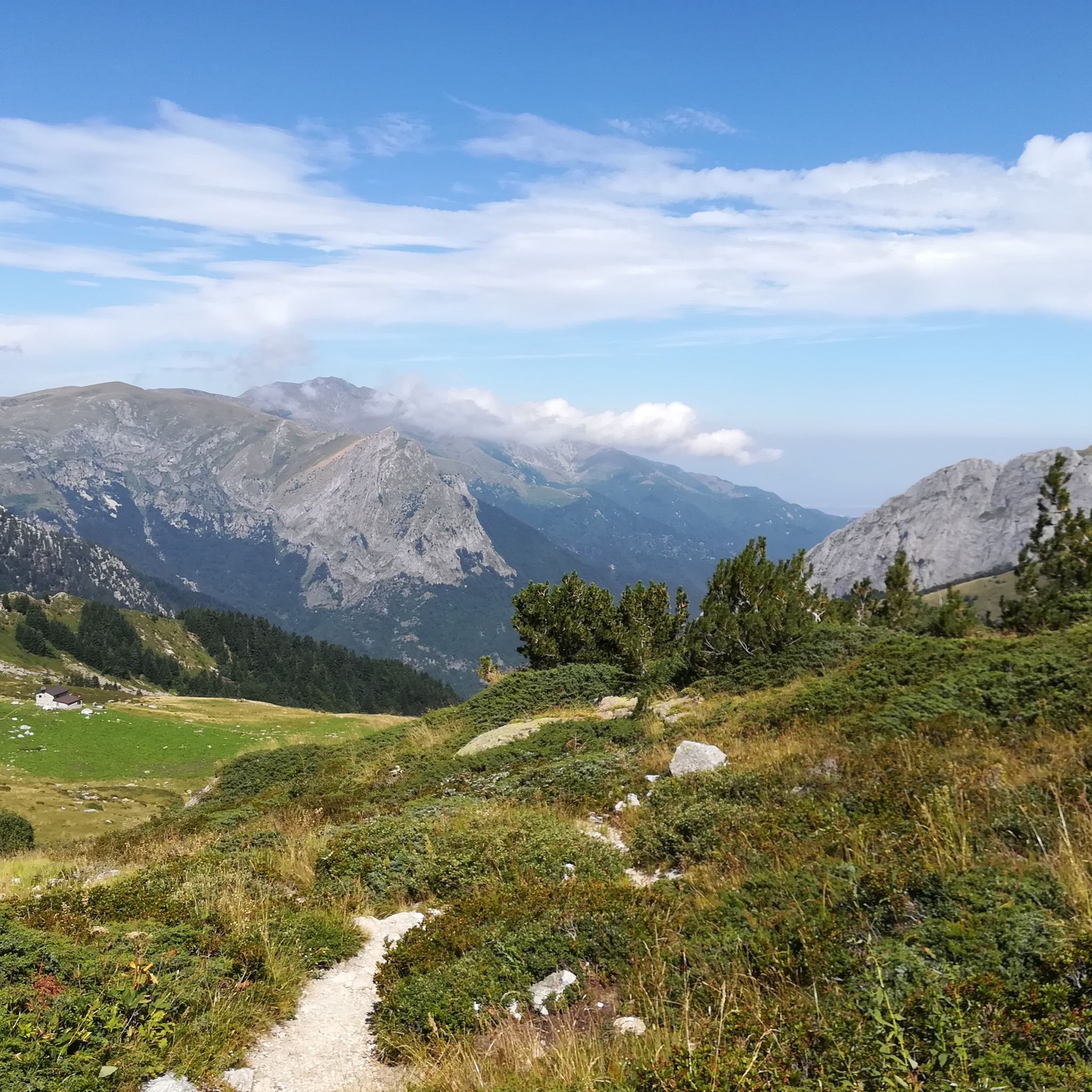
Best mountain peaks around Parco Naturale del Marguareis are found in the Ligurian Alps, an area known for its unique karstic landscapes and extensive panoramic views. This region, home to one of Piedmont's oldest natural parks, features diverse natural beauty. The massif is characterized by karst slopes with grooved rocks, sinkholes, and caves, making it a significant alpine karst area. Visitors can explore wide grasslands, impressive rock faces, and "lunar" plateaus.
Best mountain peaks around Parco Naturale del Marguareis
- The…
Last updated: August 23, 2026
Pian delle Gorre
Highlight • Mountain Hut
Showing Translation
Tip by

Duke Pass
Highlight • Mountain Pass
Showing Translation
Tip by
Sign up now to discover places like this
Get recommendations on the best single tracks, peaks, & plenty of other exciting outdoor places.
Sign up for free
Marguareis Lake
Highlight • Lake
Translated by Google •
Tip by

Morgantini Hut
Highlight • Mountain Hut
Showing Translation
Tip by

Saline Pass
Highlight • Mountain Pass
Showing Translation
Tip by

Sign up for free to discover even more peaks around Parco Naturale del Marguareis.
Sign up for free
Already have an account?
Start today with a free account
Your next adventure awaits.
Login or Signup
Popular around Parco Naturale del Marguareis

GTA South Piedmont — Hiking in Italy's Occitan valleys
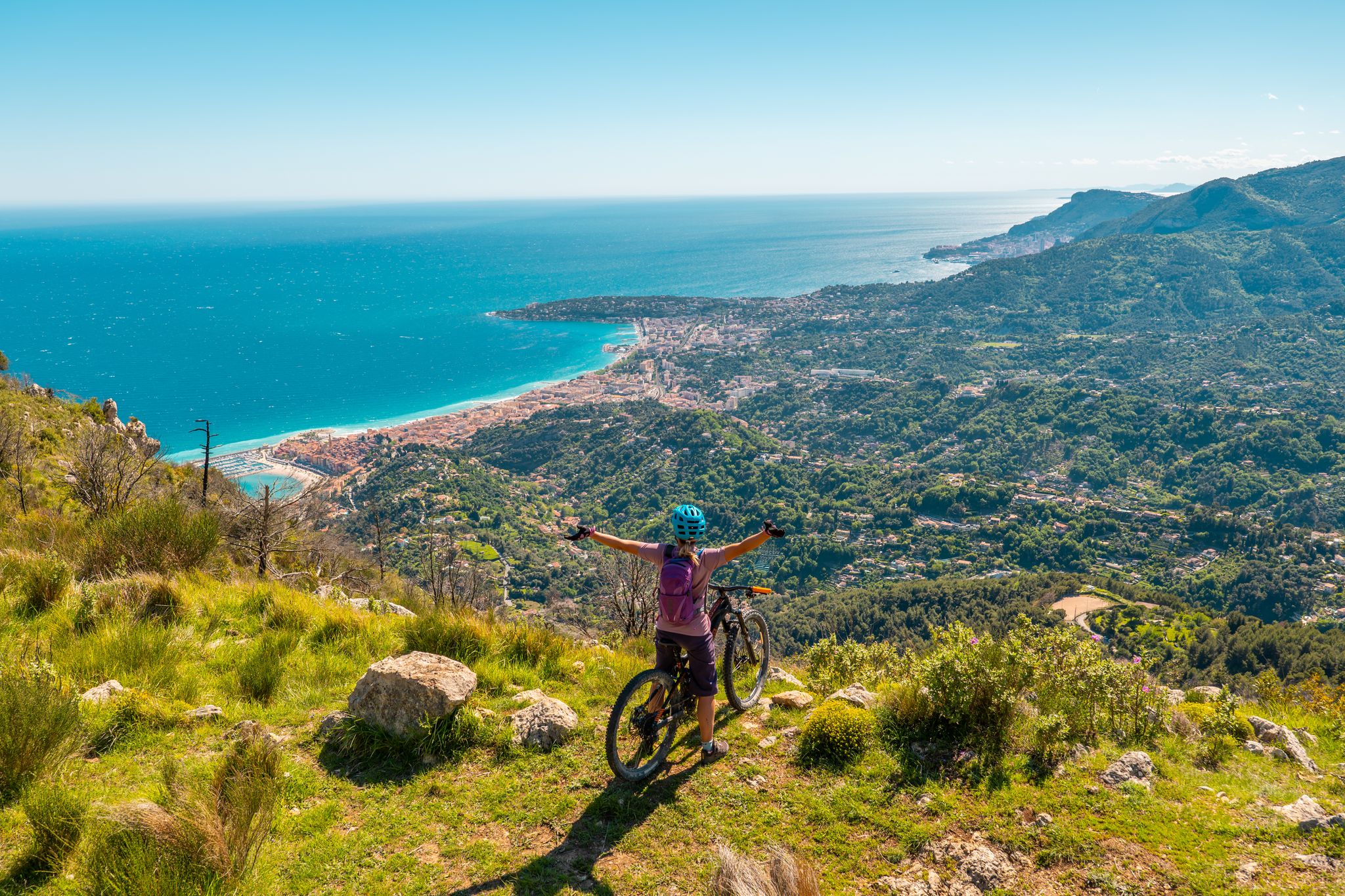
RivierALP – MTB routes from alpine passes to the Riviera
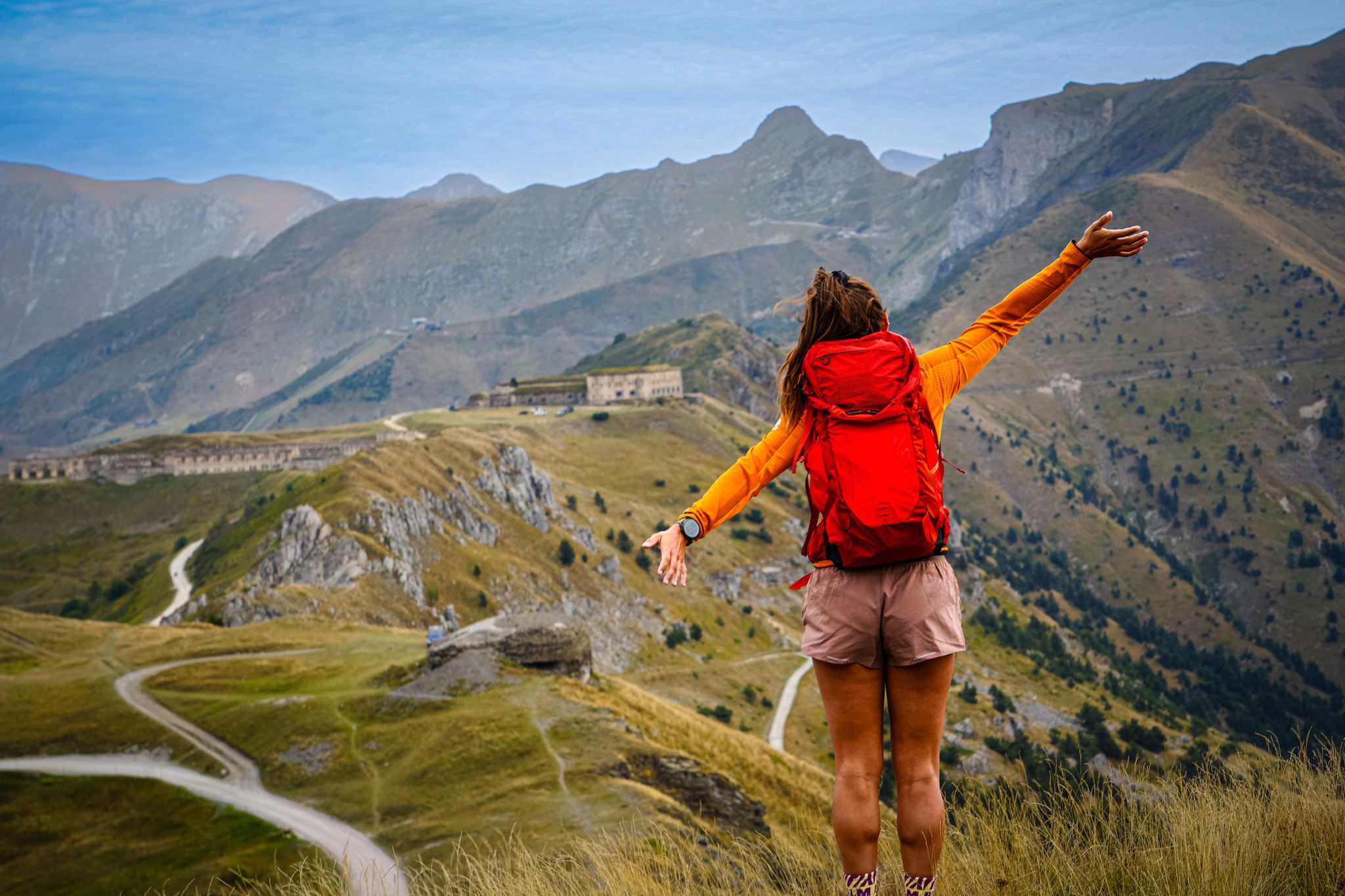
RivierALP – great hikes between the Alps and the Mediterranean
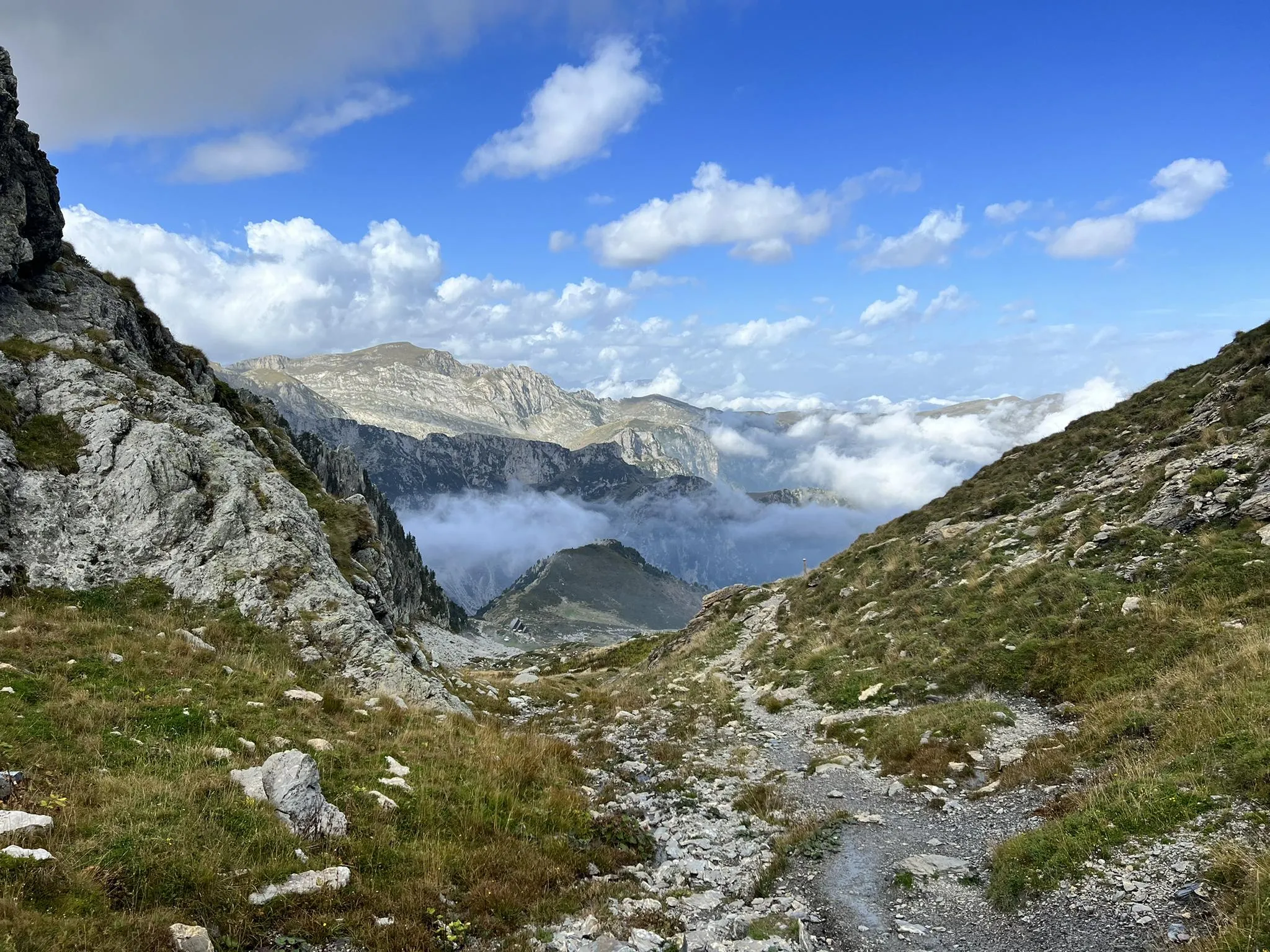
Explore the highest peak in Italy's Ligurian Alps – Giro del Marguareis
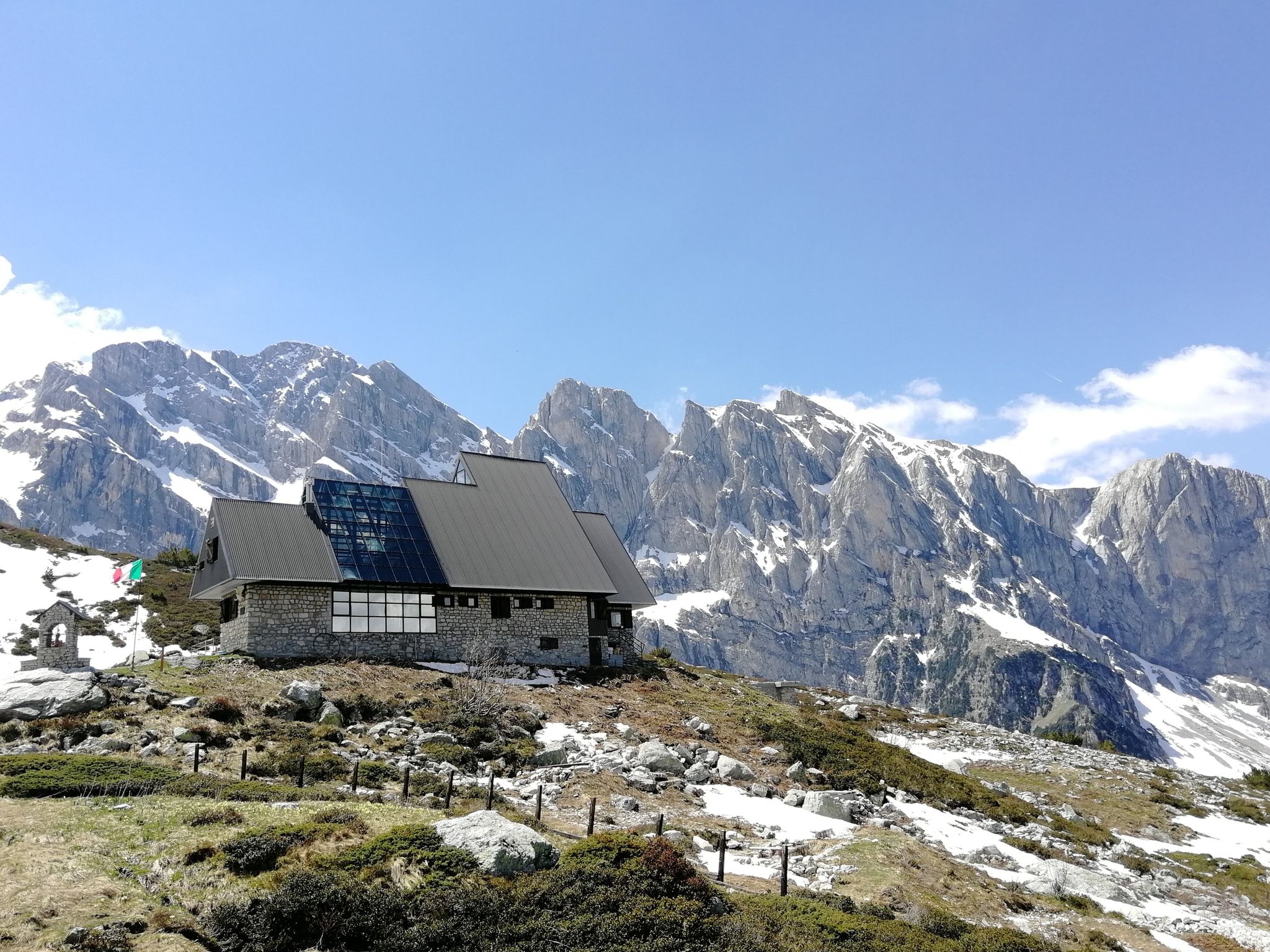
Marguareis Tour – discover caves, ravines and karstic rocks in Italy
Hiking around Parco Naturale del Marguareis
MTB Trails around Parco Naturale del Marguareis
Running Trails around Parco Naturale del Marguareis
Road Cycling Routes around Parco Naturale del Marguareis

Gravel biking around Parco Naturale del Marguareis
Other adventures around Parco Naturale del Marguareis


Tips from the Community

Left home at 7 am, arrived at the Pian delle Gorre refuge at 8:30 am for breakfast and around 8:45 am departure for the tour… and to think that it was supposed to be just the Pis del Pesio loop… but then, arriving at the crossroads, I remembered Tissone's words who had been there just a week before and told me that the Pis doesn't wet, so what do I do, go see a waterfall without water?? No way!! And so off towards the Duca pass… then, arriving from the Duca… it was still early… alright, I got carried away… off towards the Garelli refuge… and back to the Pian delle Gorre refuge… a top day!!! I almost didn't deserve it!!! But that’s it!!! So, a big loop!! But damn me and damn these f…ing loop tours… ahahahah… a very positive first experience!!! I was home at 4:30 pm
0
0
... Duca e Garelli trail … show me the way Started from home at 7, arrived at Rifugio Pian delle Gorre at 8:30, breakfast and around 8:45 departure for the tour… and to think that it was supposed to be just the Pis del Pesio loop… but then, arriving at the crossroads, I remembered Tissone's words who had been there just a week before and told me that the Pis wasn't pissing anymore and so what do I do, go see a waterfall without water?? No way!! And so off towards Passo del Duca… then arriving from the Duca… it was still early… alright then I got carried away… off towards Rifugio Garelli… and back to Rifugio Pian delle Gorre… a top day!!! I almost didn't deserve it!!! But that’s it!!! So loop!! But damn me and damn these fucking loop trails… ahahahah … as a first experience very positive!!! At 16:30 I was home
0
0

Located at 1,928 meters above sea level in the heart of the homonymous Natural Park, this small alpine body of water lies in a picturesque grassy hollow right at the foot and start of the famous Torinesi and Genovesi canals. Next to the lake is the Rifugio Garelli with the adjacent botanical station "Danilo Re". Being a protected area with a very high biodiversity value, it is the ideal place to stop and observe up close the rich flora typical of the park and, with a bit of attention, spot the chamois and marmots that inhabit the area.
0
0

The structure is a scientific hut dedicated to speleological research in the nearby Conca delle Carsene, managed by the Alpi Marittime Speleological Group.
0
0

An Alpine pass that can be reached quite easily, if you follow the wide mule track that climbs in hairpin bends and that starts from Gias degli Arpi
0
0

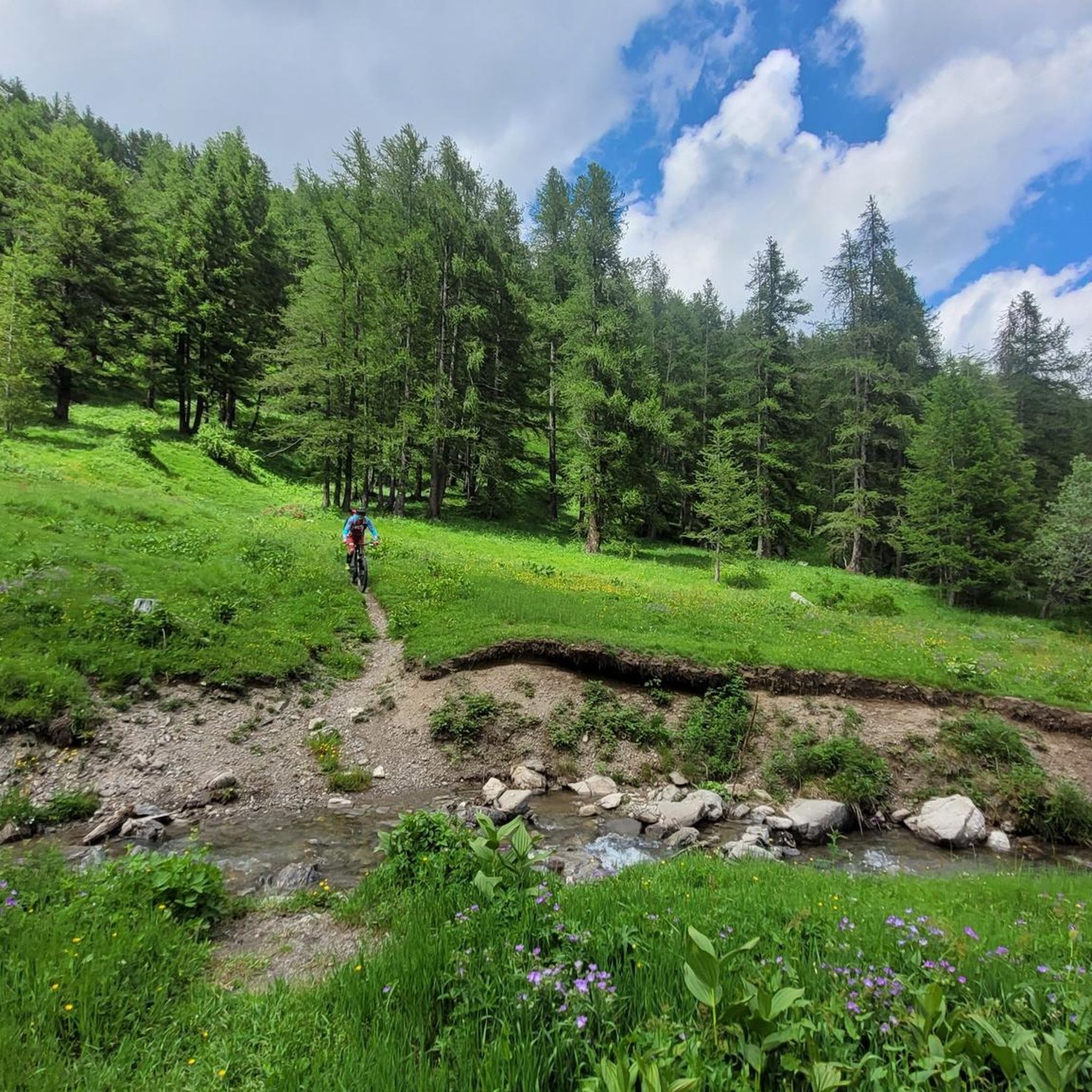
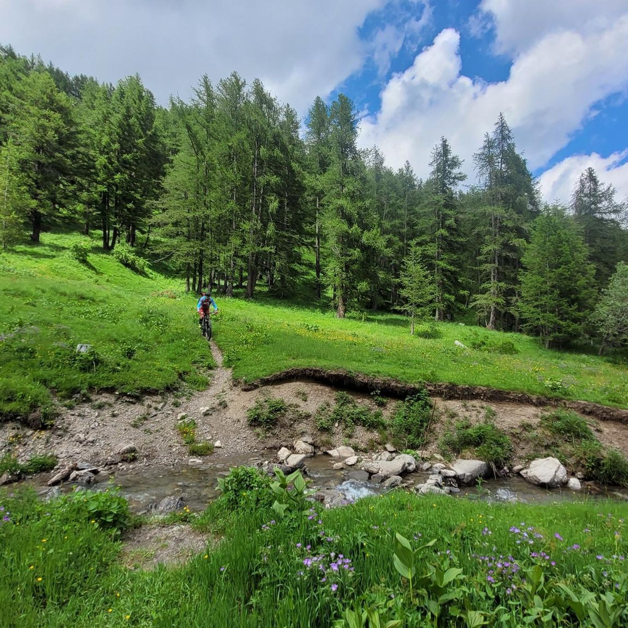
Magnificent route, both uphill and downhill. Not for beginners. You need to have some technical riding skills both uphill and downhill (and conditional training even with e-bikes), but very beautiful. ABSOLUTELY AVOID the very technical Gias Funtena part downhill and especially very popular with hikers between April and September especially the period May - July (phenomenon of the Pis del Pesio) and continue along the uphill route also downhill thus visiting, in 3 minutes of walking, the Cascate del Saut before arriving at Pian delle Gorre. Pedaling all uphill including the last 3 hairpin bends. Breathtaking landscapes. Period June (evaluate the presence of potentially dangerous snow at Passo del Duca) - October
0
0

with e-bike you can pedal almost everything, only small sections, not suitable for everyone, experience is required
0
0
we reach the Malaberga plain (2,219 m) and the nearby Morgantini speleological hut (2,237 m), curiously belonging to the municipality of Briga Alta. It is in fact one of the rare cases of an “enclave”, that is, an administrative island.
0
1
Frequently Asked Questions
What are some of the most notable mountain peaks to explore in Parco Naturale del Marguareis?
The region offers several remarkable peaks. Punta Marguareis, the highest in the Ligurian Alps, is known for its unique karstic landscapes and expansive views from Monte Rosa to the sea. Other significant peaks include Saline Peak, which offers a suggestive view of the Ellero Valley, and Pian Ballaur Peak, the fourth highest in the Ligurian Alps, providing rewarding 360-degree panoramas.
Are there any family-friendly spots or easy trails among the peaks in Parco Naturale del Marguareis?
Yes, Pian delle Gorre is an excellent family-friendly starting point for numerous walks. It offers a great place to relax in nature, with a refuge nearby. Additionally, Marguareis Lake provides green meadows perfect for relaxing or a picnic, and is also considered family-friendly.
What kind of natural features can I expect to see when visiting the mountain peaks in this region?
The Parco Naturale del Marguareis is renowned for its unique karstic landscapes, featuring grooved rocks, sinkholes, and caves. You'll encounter wide, sunny slopes with vast grasslands, impressive Dolomite-like rock faces, and 'lunar' plateaus. While high-altitude lakes are scarce due to the karstic terrain, spectacular waterfalls can be found in mid-valley areas where underground water networks emerge.
What is the best time of year to visit the Parco Naturale del Marguareis for hiking and clear views?
The best times to visit for clear views and optimal hiking conditions are typically autumn and spring. During these seasons, the weather is clearer, and the landscapes are particularly vibrant—autumn with the changing colors of larches and beeches, and spring with lush green pastures and lingering snowfields. Summer, especially July and August, can often see peaks covered in orographic fogs.
Are there any mountain huts or refuges available for hikers in the Parco Naturale del Marguareis area?
Yes, there are mountain huts that can serve as starting points or resting spots. Pian delle Gorre has a refuge that is an excellent starting point for many excursions. Another option is the Morgantini Hut, which is a scientific hut dedicated to speleological research but can be used as a bivouac by arrangement.
What are some popular hiking routes or trails near the Parco Naturale del Marguareis peaks?
You can find a variety of hiking routes in the area. Some popular options include the 'Rifugio Piero Garelli loop from Parcheggio Pian delle Gorre' (10.5 km, difficult) or the 'Laghetto del Marguareis – Rifugio Piero Garelli loop from Parco Naturale del Marguareis' (6 km, difficult). For more options, explore the Mountain Hikes around Parco Naturale del Marguareis guide.
Can I find routes for cycling or mountain biking around the Parco Naturale del Marguareis peaks?
Absolutely. The region offers several routes for both touring bicycles and mountain bikes. For touring, consider the 'Colle Campanino – Route du Sel loop from Ùpega' (68.8 km, difficult). Mountain bikers might enjoy the 'Old Saddles Pass – View of the Carsene Basin loop from Ùpega' (43.5 km, difficult). You can find more details in the Cycling around Parco Naturale del Marguareis guide and the MTB Trails around Parco Naturale del Marguareis guide.
Are there opportunities for multi-day trekking in the Marguareis massif?
Yes, the Marguareis massif offers multi-day trekking opportunities, such as the 'Giro del Marguareis.' This allows visitors to explore the diverse beauty of the massif over several stages, often including stays in mountain refuges.
What are the typical conditions for winter hiking in Parco Naturale del Marguareis?
While the region is beautiful year-round, winter conditions can be challenging. The higher peaks and routes may require specialized equipment and experience due to snow and ice. It's always advisable to check local weather forecasts and trail conditions before attempting winter hikes.
Where can I park my car when visiting the mountain peaks in Parco Naturale del Marguareis?
For areas like Pian delle Gorre, there is a car park available. During the high season, this car park is subject to a fee. Alternatively, you can leave your car at Certosa di Pesio and walk up to Pian delle Gorre.
What makes the views from Punta Marguareis so special?
The summit of Punta Marguareis offers unparalleled 360-degree views. On a clear day, these panoramas can stretch from the Monte Rosa glaciers to the sea, and west to the Maritime and Cottian Alps, providing a truly expansive and memorable vista.
What do visitors enjoy most about the mountain peaks around Parco Naturale del Marguareis?
Visitors frequently appreciate the stunning panoramic views, the unique karstic topography, and the opportunity to experience true mountain challenges. The area's rich flora, particularly the vibrant colors of larches and beeches in autumn and lush green pastures in spring, also contribute to a highly rewarding experience.
Most popular routes around Parco Naturale del Marguareis
Most popular attractions around Parco Naturale del Marguareis

Get inspired with the komoot mobile app


Explore more
See even more amazing summits around Parco Naturale del Marguareis with these guides:
