The best hikes from bus stations around Wallendorfer Lake
4.5
(3344)
12,901
hikers
412
hikes
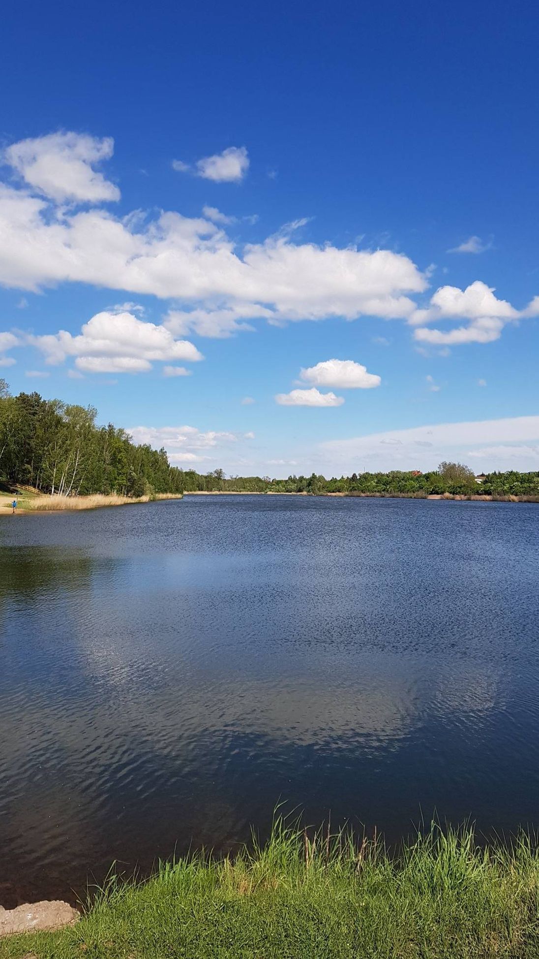
Bus station hiking trails around Wallendorfer Lake offer access to a landscape shaped by its past as an open-cast mine, now transformed into a significant natural area. The region features the lake itself, alongside the adjacent Raßnitzer See, bordered by extensive alluvial forests along the Weißer Elster and Luppe rivers. Shallow water zones and areas undergoing natural succession contribute to a diverse environment, connecting to the broader Saale floodplain.
Best bus station hiking trails around Wallendorfer Lake
- The most popular…
Last updated: June 29, 2026
4.9
(22)
90
hikers
6.61km
01:41
10m
10m
Easy hike. Great for any fitness level. Easily-accessible paths. Suitable for all skill levels.
4.9
(7)
45
hikers
Easy hike. Great for any fitness level. Easily-accessible paths. Suitable for all skill levels.

Sign up for free
4.7
(13)
61
hikers
Moderate hike. Good fitness required. Easily-accessible paths. Suitable for all skill levels.
4.8
(4)
38
hikers
6.54km
01:39
10m
10m
Easy hike. Great for any fitness level. Easily-accessible paths. Suitable for all skill levels.
4.0
(2)
4
hikers
Easy hike. Great for any fitness level. Easily-accessible paths. Suitable for all skill levels.
Get access to more routes and recommendations from other explorers.
Sign up for free
Already have an account?
Our route recommendations are based on thousands of hikes, rides, and runs completed by other people on komoot.
Start today with a free account
Your next adventure awaits.
Login or Signup
Popular around Wallendorfer Lake
Other adventures around Wallendorfer Lake

Tips from the Community

After a rain, it is not advisable to wear sports shoes
0
0


No highlights, just the information that the area on the southern shore of Lake Wallendorf, where one used to have good birdwatching, is closed off, and the "access" in the area of the "Lake Wallendorf Beach" has also been blocked off. Please adhere to this(!) and stay on the normal hiking trails. There's also a new, smaller hiking trail now – the one with lots of fences ;)
2
0

The islands are an ideal retreat for many water birds.
4
0
The logs will soon look like charcoal. 🤭
8
0
Even though there is not much traffic here, you should not cross the tracks at this point.
7
0

Frequently Asked Questions
How many hiking trails are accessible from bus stations around Wallendorfer Lake?
There are over 420 hiking routes around Wallendorfer Lake that are easily accessible from various bus stations. These trails offer a range of experiences, from short, easy strolls to longer, more moderate excursions.
What kind of terrain can I expect on bus-accessible hikes around Wallendorfer Lake?
The terrain around Wallendorfer Lake is generally flat and easy, reflecting its origin from a former open-cast mine. You'll find well-developed paths suitable for walking, often traversing the lake's shores and connecting to nearby alluvial forests. The elevation changes are minimal, making most routes suitable for all fitness levels.
Are there any circular hiking routes starting directly from a bus stop?
Yes, many routes are designed as circular walks, perfect for those arriving by bus. For example, the Lake Wallendorf – View of Wallendorfer See loop from Burgliebenau is an easy 6.6 km circular hike that offers beautiful lake views and can be started from the Burgliebenau bus stop. Another option is the View of Wallendorfer See – Lake Wallendorf loop from Burgliebenau, also an easy circular route.
What are some interesting natural features or landmarks to see along the trails?
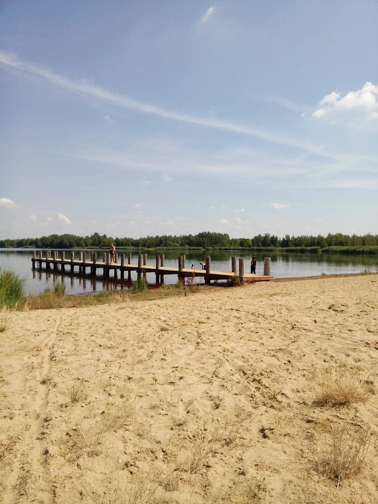
The region, born from a flooded open-cast mine, offers unique landscapes. You can explore impressive alluvial forests along the Weißer Elster and Luppe rivers. Keep an eye out for the Wooden pier at Wallendorfer Lake, which provides a great vantage point. The Dam path between gravel pit and Lake Wallendorf is also a notable feature, showcasing the area's transformation. An observation tower in Raßnitz offers panoramic views of both Wallendorfer See and Raßnitzer See.
Are the hiking trails around Wallendorfer Lake suitable for families with children?
Absolutely. Many of the trails are easy and relatively flat, making them ideal for families. Routes like the Gravel pit with breeding colonies – Bench With a View of the Lake loop from Burgliebenau are short (under 5 km) and offer pleasant walks with minimal elevation, perfect for younger hikers. The developing infrastructure, including planned bathing beaches, also adds to the family-friendly appeal.
Can I bring my dog on the bus-accessible hiking trails?
Yes, dogs are generally welcome on the hiking trails around Wallendorfer Lake. The wide, open paths and natural surroundings provide a great environment for walks with your canine companion. Always ensure your dog is on a leash and that you clean up after them to maintain the natural beauty for all visitors.
What is the best time of year to hike around Wallendorfer Lake?
The region is enjoyable throughout the year. Spring brings fresh greenery and blooming flora, while autumn offers beautiful foliage, especially in the alluvial forests. Summer is popular for combining hiking with water activities, given the developing bathing areas. Even in winter, the flat trails can be pleasant for a crisp walk, though some facilities might have reduced hours.
Are there any cafes or restaurants near the bus stops or trails?
While the area is still developing, you can find some amenities in the nearby villages like Burgliebenau, Wallendorf, and Raßnitz. These villages serve as access points and often have local establishments where you can grab a refreshment or a meal after your hike. It's always a good idea to check opening hours in advance, especially during off-peak seasons.
What do other hikers enjoy most about the bus-accessible trails at Wallendorfer Lake?
The komoot community highly rates the trails around Wallendorfer Lake, with an average score of 4.49 out of 5 stars. Hikers frequently praise the peaceful atmosphere, the ease of access from public transport, and the unique landscape formed by the lake's industrial past and subsequent natural reclamation. The well-maintained paths and scenic views are also often highlighted.
How long do the bus-accessible hikes typically take?
The duration of hikes varies depending on the route and your pace. Many of the easy circular routes, such as the Parking lot at Lake Wallendorf – Path Across the Railway Tracks loop from Burgliebenau (6 km), can be completed in about 1.5 to 2 hours. Longer, moderate trails like the Gravel pit with breeding colonies – Wallendorf Beach loop from Burgliebenau (9 km) might take around 2.5 to 3 hours.
Are there any viewpoints or observation points along the bus-accessible routes?
Yes, the observation tower in Raßnitz, which was renovated in 2010, offers excellent panoramic views over both Wallendorfer See and the adjacent Raßnitzer See. Many trails are designed to pass by or offer easy access to such scenic spots, providing great opportunities for photography and enjoying the landscape.
Most popular routes around Wallendorfer Lake
Most popular attractions around Wallendorfer Lake

Get inspired with the komoot mobile app


Explore more
Browse the best Hikes in other regions.
