The best traffic-free bike rides around Stausee Sosa
4.7
(56)
1,178
riders
3
rides
Road cycling around Stausee Sosa offers routes through the scenic Western Ore Mountains, characterized by expansive forests and the serene waters of the reservoir. The region features varied terrain, including well-paved surfaces and some challenging ascents, making it suitable for different cycling preferences. The Stausee Sosa dam, a notable 200-meter-long structure built from quarry stones, provides impressive views and is publicly accessible. The surrounding Erzgebirge region contributes to a mountainous landscape with diverse elevation changes.
Best no traffic road cycling…
Last updated: June 29, 2026
2
riders
Easy road ride. Great for any fitness level. Mostly well-paved surfaces and easy to ride.
5
riders
10.3km
00:40
280m
280m
Easy road ride. Great for any fitness level. Mostly well-paved surfaces and easy to ride.

Sign up for free
8
riders
8.79km
00:34
260m
260m
Easy road ride. Great for any fitness level. Mostly well-paved surfaces and easy to ride.
Our route recommendations are based on thousands of hikes, rides, and runs completed by other people on komoot.
Start today with a free account
Your next adventure awaits.
Login or Signup
Popular around Stausee Sosa
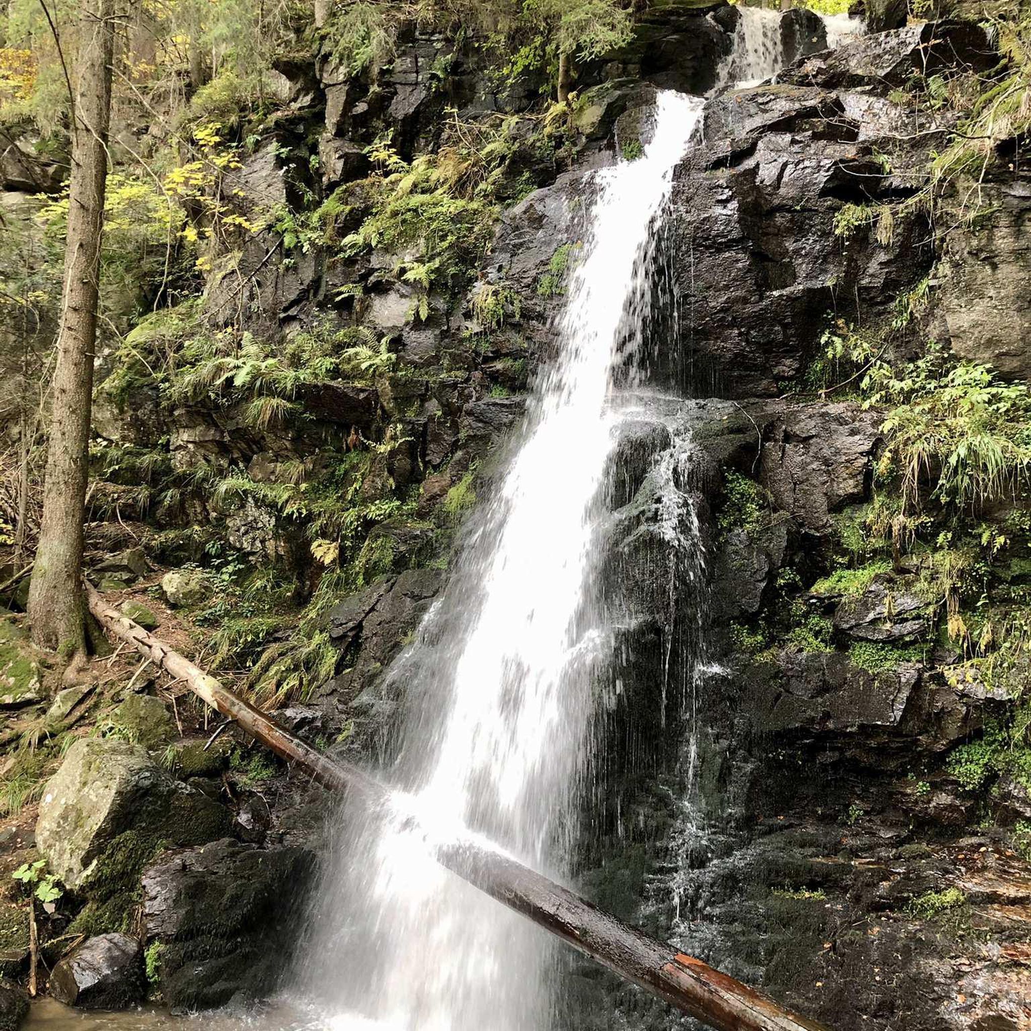
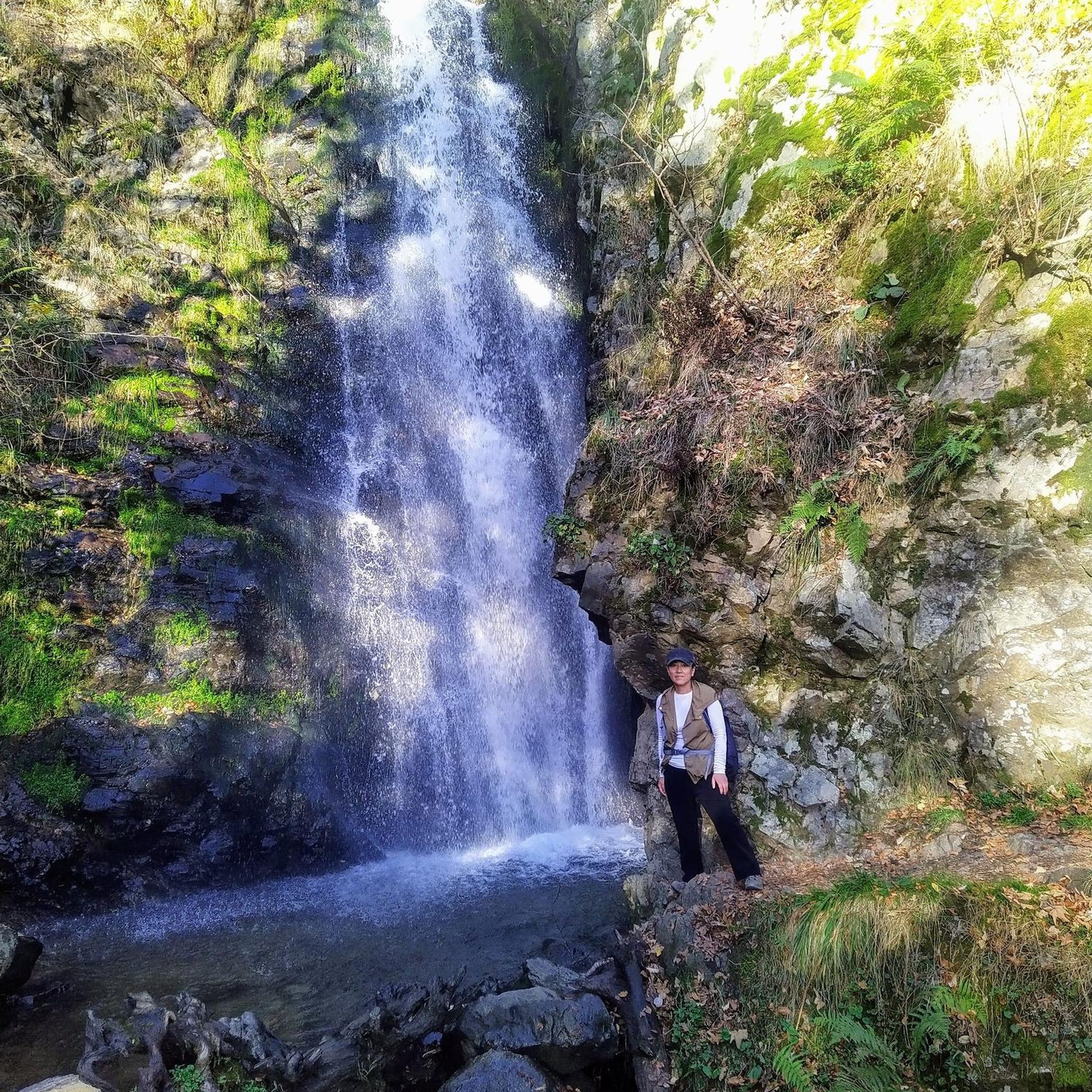
Tips from the Community

A lovely place to linger. 🥱
0
0

Easy-to-use pitches at Germany's largest private sports park: Top-notch amenities. Excellent food service. Very relaxed and friendly staff. Rabenberg, with its large BikePark area (summer) and dense network of cross-country ski trails (winter), as well as many other recreational sports facilities, is an idyllic setting! ❤️
1
0

A hall church, the core of which dates back to the 15th century. The south tower features a double-curved dome and lantern. Inside, a 1640 nave and a formerly floating baptismal angel are featured.
0
0

You have to visit this stamp mill. Lovingly renovated and expertly demonstrated, the punch stamps make a lot of noise. The whole family gets their money's worth there. Opening times only in season can be found online.
1
0

Here you receive a point for the digital hiking pin at SummitLynx. The Siebenschlehener Pochwerk Technical Museum is open for viewing from Thursday to Saturday from 10 a.m. to 5 p.m. You can look at the permanent exhibition, the working stamp mill and learn a lot about the mining history. https://www.bergstadt-schneeberg.de/seite/451662/technologes-museum-siebenschlhener-pochwerk.html
2
0

Pitches located directly at the parking lot or near the trail café.
1
0

But you don't get the view from the position.
1
0

Trail center, Spotrpark and gastronomy. hotel https://www.trailcenter-rabenberg.de/kurse-camps/?gclid=EAIaIQobChMIipqdg93B_AIVCcJ3Ch0DLQMqEAAYASAAEgLmWPD_BwE https://www.erzgebirge-tourismus.de/
0
0
Frequently Asked Questions
How many no-traffic road cycling routes are available around Stausee Sosa, and what are their typical lengths?
There are currently 4 dedicated no-traffic road cycling routes listed around Stausee Sosa. These routes vary in length, with the shortest being approximately 8.6 km and the longest extending to about 15.2 km. For example, the Wolfgangsee with pyramid – Village Church of Zschorlau loop from Zschorlau is around 12.8 km, offering a pleasant ride.
What is the typical terrain and elevation profile for no-traffic road cycling routes in the Stausee Sosa region?
The Stausee Sosa region, nestled in the Western Ore Mountains, offers a mix of terrain. While the routes are designed to be traffic-free, you can expect some challenging ascents and descents characteristic of a mountainous area like the Erzgebirge. For instance, the Burger Shack Rabenberg – Rabenberg Forest Road loop from Breitenbrunn includes an elevation gain of over 260 meters, providing a good workout amidst scenic forest paths.
What natural features and landmarks can I expect to see along the no-traffic road cycling routes near Stausee Sosa?
The routes offer stunning views of the Sosa Reservoir and the surrounding expansive forests. You'll also encounter the impressive Sosa Dam itself, a unique structure built from quarry stones. Other points of interest in the wider area include the Blauenthaler Wasserfall and the imposing Auersberg mountain, which often serves as a scenic backdrop.
Are there family-friendly no-traffic road cycling routes suitable for all ages around Stausee Sosa?
Yes, many of the no-traffic road cycling routes around Stausee Sosa are classified as 'easy' and are suitable for families. These routes often feature well-maintained, paved surfaces and offer a tranquil environment away from vehicle traffic. The shorter loops, such as the Rabenberg Forest Road loop from Rabenberg, are particularly good options for a relaxed family outing.
Where can I find parking facilities when planning a no-traffic road cycling trip to Stausee Sosa?
Parking is generally available in the vicinity of Stausee Sosa, particularly near the dam and trailheads. Many routes, like those starting from Breitenbrunn or Rabenberg, have designated parking areas nearby, making it convenient to access the no-traffic cycling paths. It's advisable to check local signage for specific parking regulations.
Is it possible to reach the Stausee Sosa region by public transport with a bicycle?
While the Stausee Sosa region is well-suited for cycling, public transport options with bike carriage can be limited, especially for direct access to the reservoir. It's recommended to research regional bus or train services that allow bicycles in the wider Erzgebirge area, and then cycle the remaining distance to your chosen starting point. Always check the specific transport provider's rules regarding bike transport in advance.
When is the best time of year to enjoy no-traffic road cycling around Stausee Sosa?
The best time for no-traffic road cycling around Stausee Sosa is typically from spring through autumn. During these seasons, the weather is generally mild, and the natural scenery is at its most vibrant. The well-maintained paths around the reservoir and through the forests are particularly enjoyable when free of snow and ice, offering comfortable riding conditions and stunning views.
Are the no-traffic road cycling routes around Stausee Sosa suitable for cycling with dogs?
Many of the no-traffic routes around Stausee Sosa, especially those on wider forest paths, can be suitable for cycling with well-behaved dogs, provided they are on a leash or in a suitable bike trailer. Given the natural environment, you might encounter wildlife, so keeping your dog under control is essential. Always respect local regulations regarding dogs in nature areas.
What do other road cyclists enjoy the most about no-traffic road cycling in Stausee Sosa?
The area is highly rated by the komoot community, with an average score of 4.6 stars. Reviewers often praise the tranquility and natural beauty of the routes, highlighting the joy of cycling on well-paved, traffic-free paths through expansive forests. The scenic views of the reservoir and the challenging yet rewarding ascents are also frequently mentioned as major draws.
Are there any circular no-traffic road cycling routes available around Stausee Sosa?
Yes, several of the no-traffic road cycling routes around Stausee Sosa are designed as circular loops, allowing you to start and finish at the same point. For example, the Rock Formation Near Erlabrunn loop from Breitenbrunn is a circular route of over 15 km, providing a convenient and immersive cycling experience without needing to retrace your steps.
Most popular routes around Stausee Sosa
Most popular attractions around Stausee Sosa

Get inspired with the komoot mobile app


Explore more
Browse the best Road cycling routes in other regions.
