The best hikes from bus stations around Lütjensee
4.6
(4244)
17,947
hikers
456
hikes
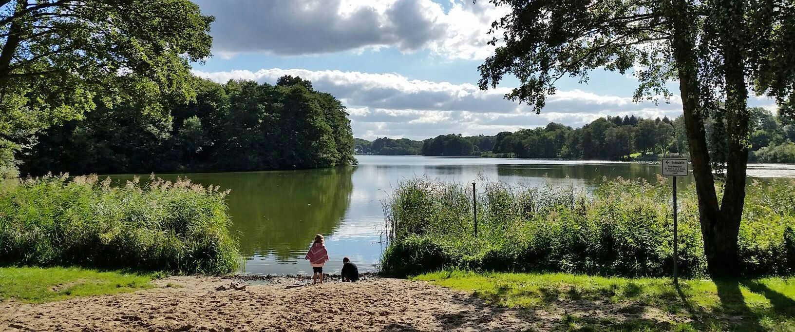
Hiking around Lütjensee offers diverse natural features within the "Stormarnsche Schweiz" recreational area, making it ideal for bus station hiking trails. The landscape is characterized by a "three-lake plate" including Lütjensee, Großensee, and Mönchsteich, alongside enchanting moorlands and dense deciduous and mixed forests. Gently rolling hills provide varied topography, making the region suitable for a range of outdoor activities.
Best bus station hiking trails around Lütjensee
- The most popular bus station hiking route is Großensee North Beach – Großensee Lakeside…
Last updated: May 17, 2026
4.8
(36)
136
hikers
9.73km
02:31
60m
60m
Moderate hike. Good fitness required. Easily-accessible paths. Suitable for all skill levels.
4.6
(305)
1,260
hikers
Moderate hike. Good fitness required. Easily-accessible paths. Suitable for all skill levels.

Sign up for free
5.0
(7)
18
hikers
8.84km
02:16
40m
40m
Moderate hike. Good fitness required. Easily-accessible paths. Suitable for all skill levels.
5.0
(6)
18
hikers
13.6km
03:34
100m
100m
Moderate hike. Good fitness required. Easily-accessible paths. Suitable for all skill levels.
5.0
(4)
9
hikers
9.20km
02:23
60m
60m
Moderate hike. Good fitness required. Easily-accessible paths. Suitable for all skill levels.
Get access to more routes and recommendations from other explorers.
Sign up for free
Already have an account?
Our route recommendations are based on thousands of hikes, rides, and runs completed by other people on komoot.
Start today with a free account
Your next adventure awaits.
Login or Signup
Popular around Lütjensee
Other adventures around Lütjensee

Tips from the Community

I always take a break here when I'm on the old railway embankment.
0
0

The large, free parking lot on the southern shore of Lütjensee is a good starting point for a tour around the lake and other tours in the surrounding area.
1
0

A very pleasant hike along the lake. Partially separated from the lake by private property. Very friendly people here.
0
0

Good starting point for hiking
0
0

Don't forget your swimming trunks and bikini
0
0

The hiking trail around the Großensee and Mönchteich is beautiful to walk and mostly shady even in summer.
0
0

Nearby there is a worthwhile restaurant for a stop
0
0
Frequently Asked Questions
How many hiking trails are accessible from bus stations around Lütjensee?
There are over 450 hiking trails around Lütjensee that are easily accessible from various bus stations. These routes cater to a wide range of preferences, including over 280 easy trails and 150 moderate options.
Are there any easy, family-friendly hikes accessible by bus in Lütjensee?
Yes, Lütjensee offers many easy and family-friendly routes accessible by bus. An excellent option is the Lake Lütjensee – View of Lütjensee loop from Lütjensee, which is an easy 3.9 km path perfect for a relaxed stroll with children. Many trails offer picturesque lake views and passages through shaded forests.
What kind of terrain can I expect on bus-accessible hikes in Lütjensee?
The Lütjensee region, part of the 'Stormarnsche Schweiz,' features diverse terrain. You'll find well-signposted paths through dense deciduous and mixed forests, along the shores of lakes like Lütjensee and Großensee, and occasionally through gently rolling hills. Some routes also traverse enchanting moorlands, such as the protected Kranika Moor Nature Reserve.
Are there circular hiking routes available from Lütjensee bus stops?
Yes, many of the bus-accessible trails around Lütjensee are circular routes, allowing you to start and end your hike at the same bus stop. For example, the Großensee North Beach – Großensee Lakeside Trail loop from Lütjensee is a moderate 9.3 km circular path offering beautiful lakeside views.
What natural features or landmarks can I see along these bus station trails?
The trails offer stunning natural beauty. You can explore the 'three-lake plate' featuring Lütjensee, Großensee, and Mönchsteich. Highlights include the Kranika Moor Nature Reserve, serene forest paths like the Forest path along the east shore of Lütjensee, and the Nordstrand Bathing Area, Lütjensee. You might even spot fallow deer at the Fallow Deer Enclosure at Seehof am Lütjensee.
Are bus-accessible hiking trails in Lütjensee dog-friendly?
Generally, the hiking trails around Lütjensee are dog-friendly, making it a great destination for walks with your canine companion. However, it's always recommended to keep dogs on a leash, especially in nature reserves like the Kranika Moor, and to be mindful of local regulations and other hikers. Always carry water for your dog.
What is the best season for hiking from bus stations in Lütjensee?
Lütjensee offers beautiful hiking experiences year-round. Spring brings blooming nature, summer allows for refreshing dips in the lakes, and autumn showcases spectacular foliage. Even winter hikes can be magical, with serene, snow-dusted landscapes. The well-maintained paths make most trails accessible in all seasons, though proper footwear is always advised.
Are there any longer, more challenging bus-accessible hikes in the area?
Yes, if you're looking for a longer moderate challenge, consider the Lake Lütjensee – Monk Pond loop from Lütjensee. This route spans approximately 14 km and offers a more extensive exploration of the region's diverse landscapes, including lake views and forest sections.
What do other hikers say about the bus-accessible trails in Lütjensee?
The komoot community highly rates the trails around Lütjensee, with an average score of 4.6 stars from over 4,100 ratings. Reviewers often praise the quiet woodlands, the picturesque lake views, and the well-marked, accessible paths that make exploring the 'Stormarnsche Schweiz' a delightful experience.
Are there places to rest or have a picnic along the bus station hiking routes?
Yes, many trails feature designated rest areas and benches where you can take a break or enjoy a picnic amidst nature. The Rest Area at Lütjensee is one such spot. Additionally, the region has various cafes and restaurants, particularly near the lakes, where you can refuel after your hike.
Can I combine hiking with other activities like swimming or boating near Lütjensee bus stops?
Absolutely! Lütjensee is perfect for combining hiking with other outdoor pursuits. The lakes invite visitors to cool off, with the south shore of Großensee boasting a beautiful natural open-air swimming area, and Lütjensee itself having a sunbathing lawn and swimming access on its north shore. You can also rent rowboats or canoes at the Fischerklause boathouse on Lütjensee for a peaceful exploration from the water.
Most popular routes around Lütjensee
Most popular attractions around Lütjensee

Get inspired with the komoot mobile app


Explore more
Browse the best Hikes in other regions.
