The best traffic-free bike rides around Lünersee
4.4
(85)
966
riders
5
rides
No traffic touring cycling routes around Lünersee are set within the dramatic Rätikon mountains of Vorarlberg, Austria, offering challenging alpine terrain. The region is characterized by towering peaks, rugged rock formations, and the impressive Lünersee, an alpine lake at 1970 meters above sea level. Cyclists can expect significant elevation changes and routes that traverse both paved surfaces and potentially unpaved sections in the broader Brandnertal valley. The landscape combines high mountain passes with views of the crystal-clear lake and surrounding…
Last updated: August 9, 2026
4.9
(42)
338
riders
27.5km
02:52
1,010m
1,010m
Hard bike ride. Very good fitness required. Mostly paved surfaces. Suitable for all skill levels.
4.4
(5)
117
riders
13.6km
01:13
530m
530m
Hard bike ride. Very good fitness required. Mostly paved surfaces. Suitable for all skill levels.

Sign up for free
5.0
(1)
50
riders
13.6km
01:34
670m
660m
Hard bike ride. Very good fitness required. Mostly paved surfaces. Suitable for all skill levels.
4.6
(5)
60
riders
12.9km
01:32
590m
590m
Hard bike ride. Very good fitness required. Mostly paved surfaces. Suitable for all skill levels.
4.6
(5)
61
riders
12.7km
01:32
590m
590m
Hard bike ride. Very good fitness required. Mostly paved surfaces. Suitable for all skill levels.
Our route recommendations are based on thousands of hikes, rides, and runs completed by other people on komoot.
Start today with a free account
Your next adventure awaits.
Login or Signup
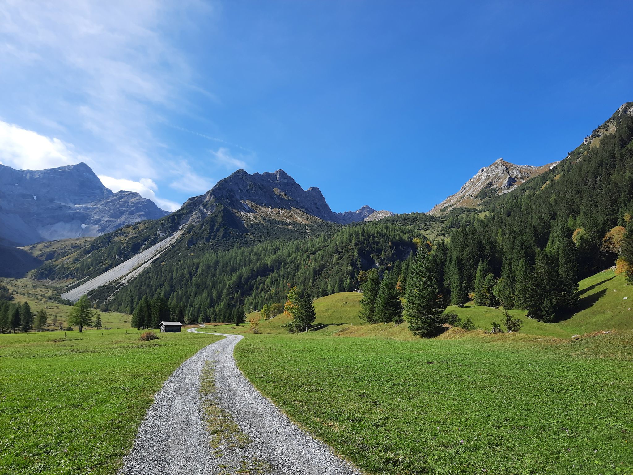
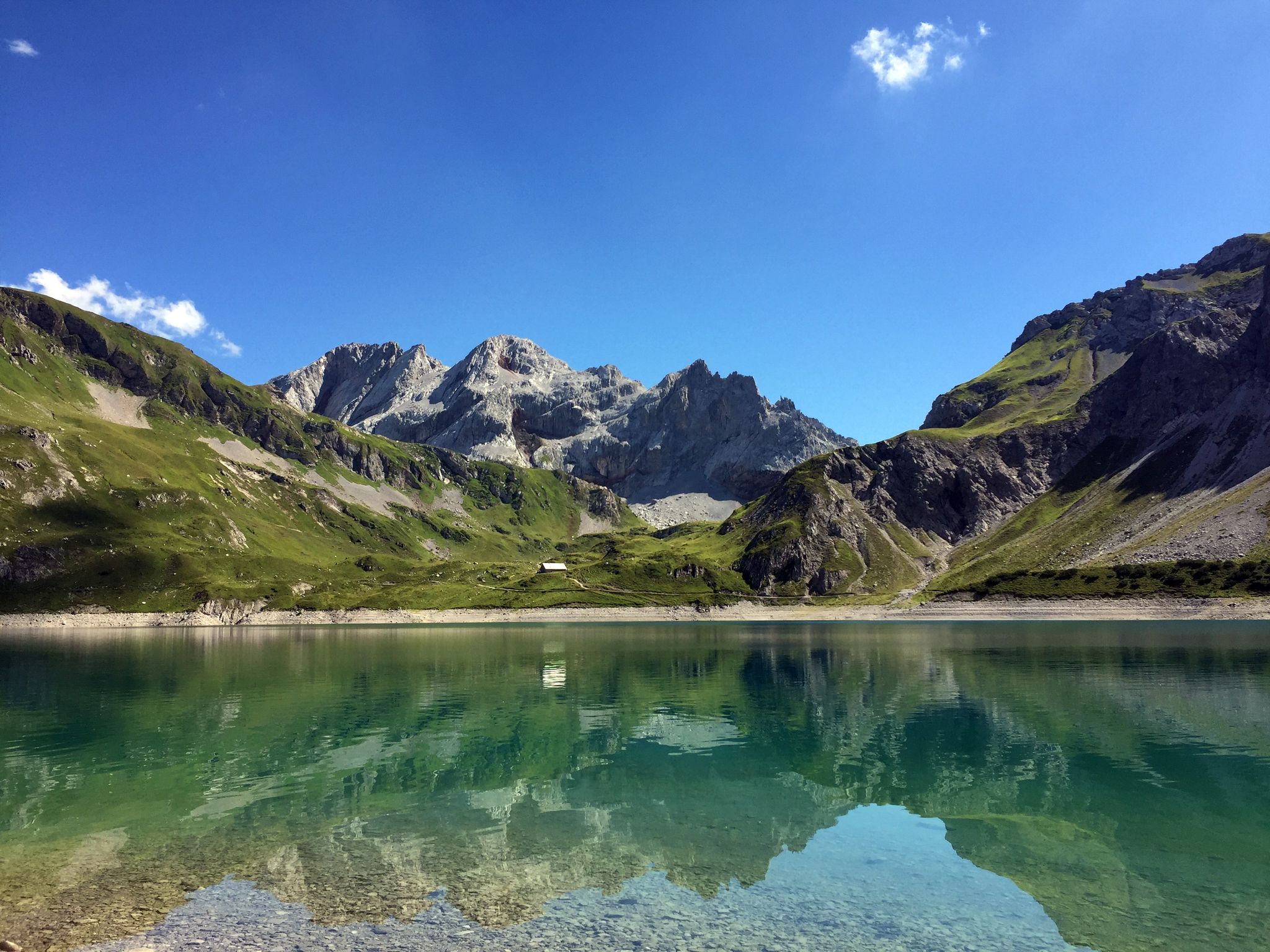
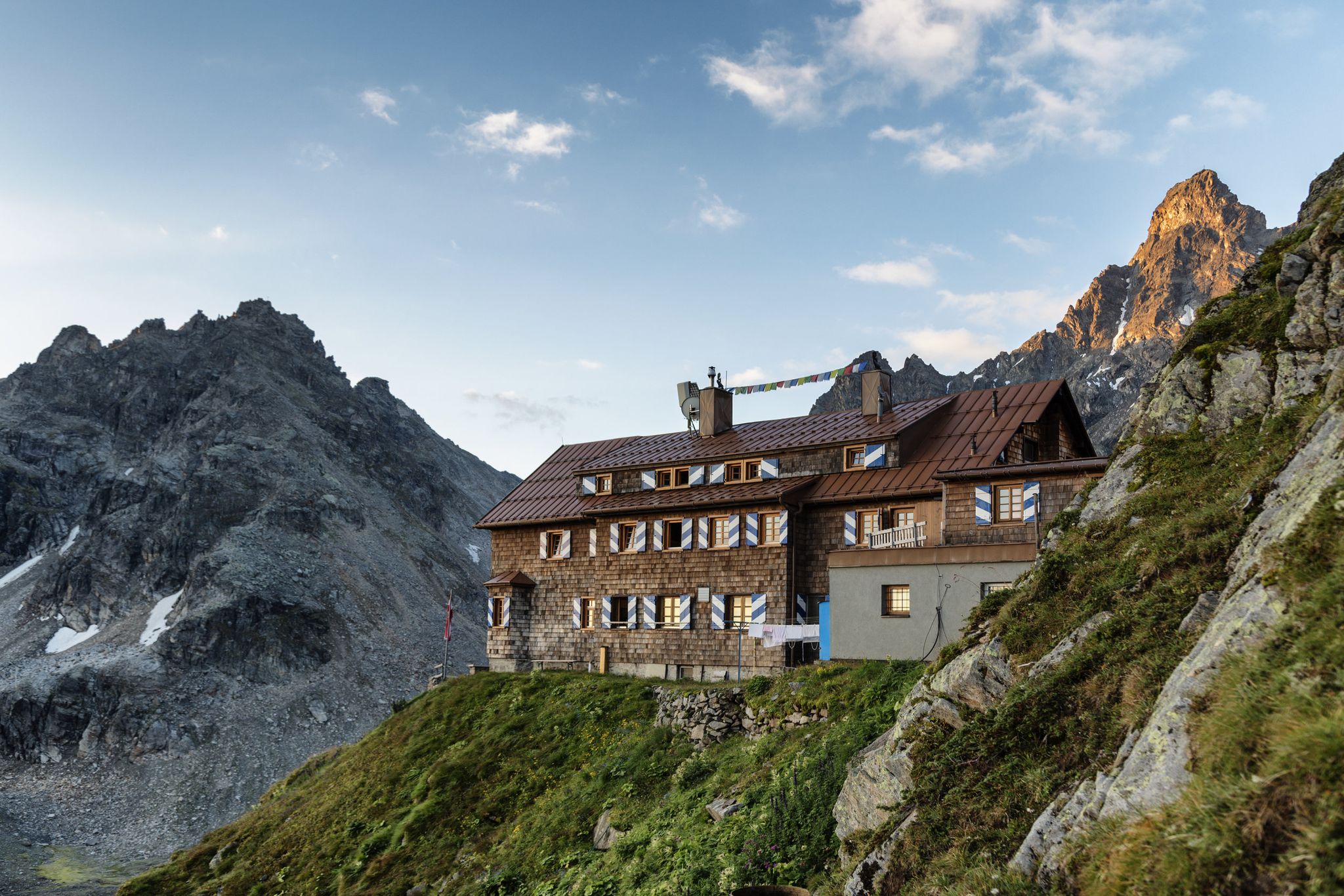
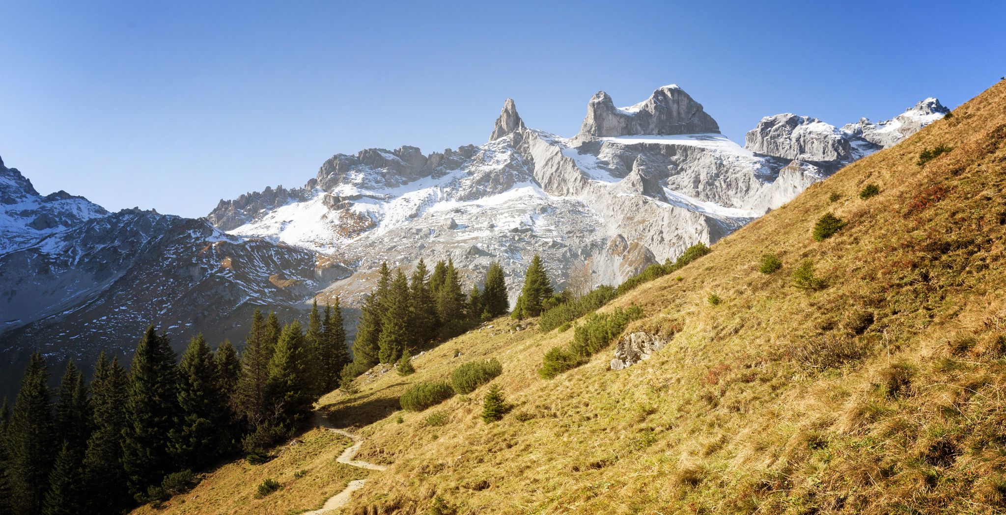

Other adventures around Lünersee


Tips from the Community


A great cabin. The fact that everyone is welcome makes it all the better.
0
0
Rustic barbecue specialties from the wood grill, DJ and delicious chocolate
0
0
Great music and the best chocolate in the ski resort. Specialties cooked outdoors on a wood (charcoal) grill.
0
0


Cool atmosphere both outside and inside!
1
0

Hut with a great atmosphere. From the sun terrace you have a wonderful view of the surrounding mountains.
2
0
Frequently Asked Questions
How many no-traffic touring cycling routes are available around Lünersee?
There are 5 dedicated no-traffic touring cycling routes listed in this guide for the Lünersee region. These routes are all classified as difficult, offering a significant challenge for experienced cyclists.
What kind of terrain can I expect on these no-traffic touring cycling routes?
The routes primarily traverse the alpine landscape of the Rätikon mountains and the Brandnertal valley. While the region offers diverse cycling, the no-traffic touring routes in this guide are challenging, often featuring significant elevation gains and descents. Expect a mix of paved and potentially unpaved sections, requiring good fitness and suitable touring bikes.
Are there any family-friendly no-traffic cycling options near Lünersee?
The specific no-traffic touring cycling routes highlighted in this guide are all rated as 'difficult' due to significant elevation changes and distances, making them less suitable for families with young children or beginners. While the broader Brandnertal valley has easier cycling options, these particular routes are designed for more experienced touring cyclists seeking a challenge.
What are the typical distances and elevation gains for these no-traffic touring routes?
The routes vary in length and elevation. For example, the Frööd Restaurant – View of the Brandnertal Valley loop from Brand is 27.5 km long with over 1000 meters of elevation gain. Shorter, but still challenging, routes like the Schattenlagant Hut (1481 m) – Lünerseebahn Valley Station loop from Brand cover about 13.8 km with over 500 meters of ascent.
What do other touring cyclists enjoy most about the no-traffic routes around Lünersee?
The komoot community highly rates the cycling experience in this region, with an average score of 4.57 stars from 88 ratings. Reviewers frequently praise the stunning alpine scenery, the challenging climbs, and the peaceful, car-free environment that allows for an immersive outdoor experience amidst the Rätikon mountains.
Can I find places to eat or stay along these no-traffic touring cycling routes?
Yes, the region offers various options. For instance, the Melkboden Alpine Inn – Niggenkopfstüble Mountain Hut loop from Brand passes by the Melkboden Alpine Inn and the Niggenkopfstüble Mountain Hut, which can provide refreshments. The broader Brandnertal valley also has cafes, restaurants, and accommodation options suitable for cyclists.
Are there any specific viewpoints or natural attractions along these routes?
While the routes themselves offer continuous scenic views of the Rätikon mountains and the Brandnertal valley, you can also explore nearby attractions. The Douglass Hut at Lake Lünersee and the Totalphütte are popular spots near the Lünersee itself, offering breathtaking vistas. The region is also home to natural features like the Bürserschlucht canyon and the Balbierfall Waterfall, which can be explored in conjunction with your cycling trip.
What is the best season for touring cycling around Lünersee?
The best season for touring cycling in the Lünersee region is typically from late spring to early autumn (June to October). During these months, the weather is generally more stable, and the mountain passes are clear of snow, offering optimal conditions for enjoying the alpine routes. Always check local weather forecasts before heading out.
Is it possible to cycle directly around Lünersee lake?
Direct cycling on the circular trail immediately around Lünersee is generally not permitted as it is primarily designated for hikers. However, the broader region, including the Brandnertal valley, offers numerous touring cycling routes that provide stunning views of the surrounding mountains and lead to the vicinity of the lake.
How can I access the starting points of these no-traffic routes, especially with a bike?
Many of these routes start from Brand in the Brandnertal valley. Parking facilities are available in Brand. For public transport, check regional bus services that connect to Brand, keeping in mind that bike transport on buses might have limitations or require specific times. The Lünerseebahn cable car provides access to the lake itself, but direct cycling around the lake is restricted.
Are there any circular no-traffic touring cycling routes available?
Yes, all the no-traffic touring cycling routes listed in this guide are circular, meaning they start and end in the same location, typically Brand. Examples include the Niggenkopfstüble Mountain Hut – Niggenkopfstüble loop from Brand and the Tschoy Ride Trail – Niggenkopfstüble loop from Brand, offering convenient round trips.
Most popular attractions around Lünersee

Get inspired with the komoot mobile app


Explore more
Browse the best Cycling routes in other regions.
