The best hikes from bus stations around Gjende
4.5
(1557)
10,252
hikers
19
hikes
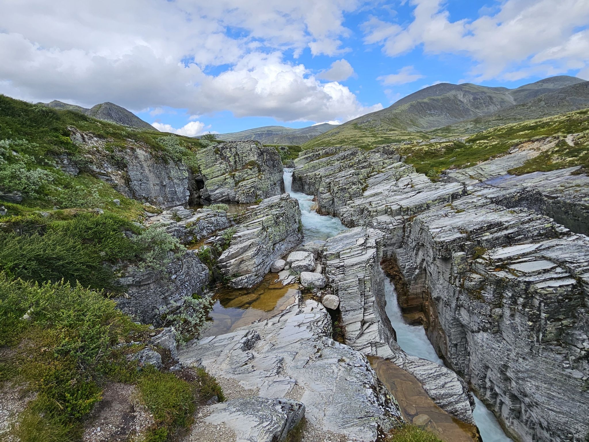
Bus station hiking trails around Gjende are situated within Norway's Jotunheimen National Park, a region defined by its glacial landscape. The area features the emerald-green Gjende Lake, surrounded by mountains exceeding 2,000 meters, U-shaped valleys, and rocky terrain. The distinctive color of Gjende Lake is due to glacial rock flour.
Best bus station hiking trails around Gjende
- The most popular bus station hiking route is Besshøe Summit Trail, a 13.7 miles (22.1 km) difficult trail that takes 9 hours…
Last updated: August 22, 2026
4.0
(1)
28
hikers
22.1km
09:47
1,270m
1,270m
This difficult 13.7-mile summit hike to Besshøe in Jotunheimen National Park offers panoramic views over Besseggen and Gjende Lakes.
3.8
(22)
82
hikers
22.0km
06:48
440m
440m
Hard hike. Very good fitness required. Mostly accessible paths. Sure-footedness required.

Sign up for free
4.6
(5)
62
hikers
3.64km
00:58
30m
40m
Easy hike. Great for any fitness level. Easily-accessible paths. Suitable for all skill levels.
4.8
(23)
87
hikers
15.2km
06:32
890m
890m
Hard hike. Very good fitness required. Mostly accessible paths. Sure-footedness required.
4.8
(8)
52
hikers
16.4km
06:54
800m
800m
Hard hike. Very good fitness required. Mostly accessible paths. Sure-footedness required.
Get access to more routes and recommendations from other explorers.
Sign up for free
Already have an account?
Our route recommendations are based on thousands of hikes, rides, and runs completed by other people on komoot.
Start today with a free account
Your next adventure awaits.
Login or Signup
Popular around Gjende
Other adventures around Gjende

Tips from the Community


The high pass between Sikkilsdalen and Gjende – the gateway to Jotunheimen – Sikkilsdalskardet is an important path junction. It features on both the Omveien and Jotunheimstien long-distance trails and affords glorious views.
0
0
Sikkilsdalshøa is the 5,833-foot (1,778 m) high point of a grand massif on the northern side of Sikkilsdalen on the cusp of Jotunheimen National Park. The hike up from Sikkilsdalsseter is strenuous but not overly technical. A vast panorama including Rondane, Dovre, Jotunheimen and Langsua awaits from the top on a clear day. However, it’s the view down the length of Gjendebåten, towards the famous Bessengen and into the heart of Jotunheimen that's the most impressive.
0
0

With luck you will meet them
0
0

The summit of Sikkilsdalshøa (1.774 m) is enclosed within an amphitheatre of high mountains: spectacular!
0
0

Above Gjendesheim. Starting point for a hike over the Besseggen ridge.
1
0
A great lake in a sensational location. A great area for multi-day hikes if you like stones. I like stones!
0
0
Beautiful road through a spectacular area
0
0
Frequently Asked Questions
How many bus station hiking trails are available around Gjende?
There are over 20 hiking trails accessible from bus stations around Gjende, offering a wide range of experiences for different skill levels. The komoot community has rated these trails highly, with an average score of 4.6 stars.
Are there easy hiking options accessible by bus around Gjende?
Yes, for those seeking a less strenuous walk, routes like the View of the Sjoa River – DNT Gjendesheim loop from Gjendesheim offer an easy experience. This particular trail is just over 2.5 km long and takes about 40 minutes, providing scenic views without significant elevation gain.
What kind of challenging hikes can I find from bus stations in Gjende?
Gjende is renowned for its demanding trails. For a significant challenge, consider the Besshøe Summit Trail, which is over 22 km long with more than 1200 meters of elevation gain. This difficult route offers incredible panoramic views for experienced hikers.
Are there any circular hiking routes accessible by bus around Gjende?
Yes, many trails are designed as loops, allowing you to start and end at the same bus stop. An example is the DNT Gjendesheim – View of Lake Gjende loop from Gjendesheim, a challenging 21.5 km route that offers extensive views of the lake and surrounding mountains.
What natural features or landmarks can I see along these bus-accessible trails?
The trails around Gjende offer stunning natural beauty. You can expect to see the iconic emerald-green Gjende Lake, shaped by glacial rock flour. Many routes provide views of the towering mountains of Jotunheimen National Park. The View of Lake Gjende – Bessa Waterfall loop from Reinsvangen, for instance, allows you to experience both the lake and the Bessa Waterfall.
Are there any facilities or points of interest near the bus station trailheads?
Yes, key trailheads like Gjendesheim often have facilities. For example, near the Gjendesheim bus stop, you'll find the Gjendeheim Boat Dock, which is a hub for the Gjendebåten ferry service. There's also the Besseggen Kiosk Gjendeosen nearby, offering amenities and information.
Can I find less crowded hiking options from bus stops in Gjende?
While popular routes like Besseggen can be busy, there are options for a quieter experience. Exploring some of the moderate or easy loops, especially outside peak season or during weekdays, can offer a more tranquil hike. The View of the Sjoa River – DNT Gjendesheim loop from Gjendesheim is a shorter, easier trail that might be less frequented than the longer, more famous routes.
What is the best time of year to hike from bus stations in Gjende?
The best time for hiking in Gjende is typically from late June to early September, when the trails are generally free of snow and the weather is most stable. Outside of this period, conditions can be challenging, with snow and ice making many trails impassable or requiring specialized equipment. Always check local conditions before heading out.
Are there any bus-accessible trails that offer views of both Lake Gjende and other bodies of water?
Yes, several trails provide diverse water views. The region is famous for the contrast between the emerald-green Gjende Lake and the deep blue Bessvatnet Lake, visible from higher elevations. The View of Lake Gjende – Bessa Waterfall loop from Reinsvangen offers views of Gjende and a waterfall, showcasing the varied aquatic landscapes of the area.
What do other hikers enjoy most about hiking from bus stations in Gjende?
The komoot community rates the bus-accessible trails around Gjende highly, with an average score of 4.6 stars. Reviewers frequently praise the stunning, dramatic scenery, the convenience of public transport access to trailheads, and the well-maintained paths that lead to iconic viewpoints and natural wonders like the vibrant Gjende Lake.
Most popular routes around Gjende
Most popular attractions around Gjende

Get inspired with the komoot mobile app


Explore more
Browse the best Hikes in other regions.
