The best hikes from bus stations around Mamry
4.6
(45)
570
hikers
20
hikes
Bus station hiking trails around Mamry offer diverse landscapes within Poland's Great Masurian Lakes region. The area is characterized by expansive lake views, particularly of Mamry, Harsz, and Dargin Lakes, alongside varied terrain that includes forested paths and sections along the Masurian Canal. Hikers can expect routes with gentle gradients and some with up to 1,000 feet of elevation gain, providing options for different skill levels.
Best bus station hiking trails around Mamry
- The most popular bus station hiking route…
Last updated: June 28, 2026
5.0
(1)
10
hikers
11.4km
02:57
60m
60m
Moderate hike. Good fitness required. Easily-accessible paths. Suitable for all skill levels.
3
hikers
11.5km
02:59
60m
60m
Moderate hike. Good fitness required. Easily-accessible paths. Suitable for all skill levels.

Sign up for free
3
hikers
Moderate hike. Good fitness required. Easily-accessible paths. Suitable for all skill levels.
54
hikers
6.03km
01:32
10m
10m
Easy hike. Great for any fitness level. Easily-accessible paths. Suitable for all skill levels.
5.0
(1)
13
hikers
4.41km
01:08
20m
20m
Easy hike. Great for any fitness level. Easily-accessible paths. Suitable for all skill levels.
Get access to more routes and recommendations from other explorers.
Sign up for free
Already have an account?
Our route recommendations are based on thousands of hikes, rides, and runs completed by other people on komoot.
Start today with a free account
Your next adventure awaits.
Login or Signup
Popular around Mamry
Other adventures around Mamry

Tips from the Community

You can't really get any further here, so back we go and along the road.
0
0
You can walk around behind the Fürstenau upper lock, but you should wear sturdy shoes. It can be a bit slippery on the slope. Caution: Pigeons live in the lock; don't be alarmed, they only flutter around when disturbed.
0
0

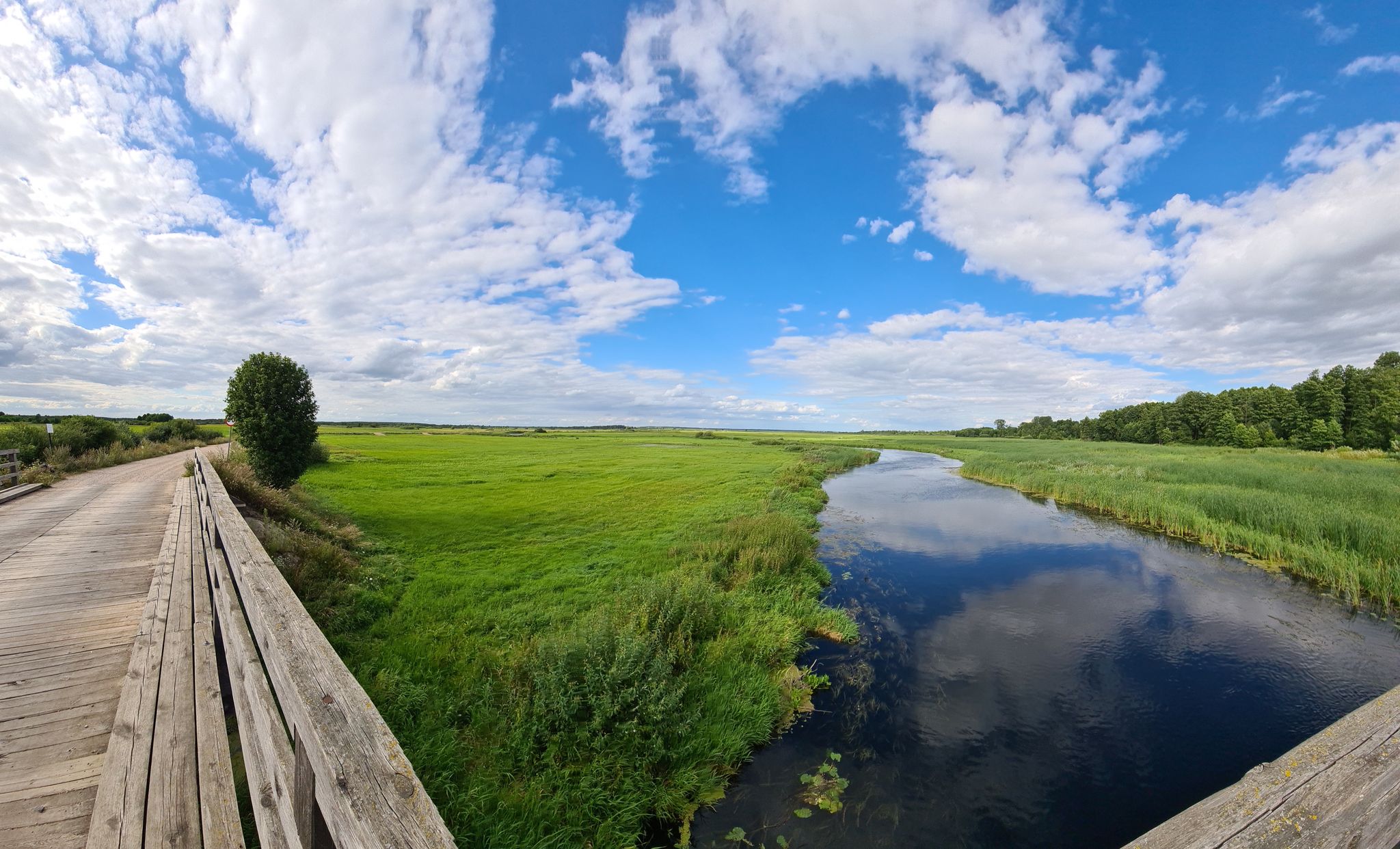
The Węgorzewski Canal is a picturesque section of the Masurian waterway network, connecting Lake Mamry with the port in Węgorzewo. Less than a kilometer long, it runs alongside the Węgorapa River, and its banks create a pleasant place for walking and cycling thanks to a modernized pedestrian and bicycle path. It's a peaceful place where you can observe waterfowl and beavers, and in summer, relax at the nearby Mamry municipal beach.
2
0

No entry, as on any railway bridge ;-)
0
0

An old disused railway bridge, located much higher than the single track along the Masurian Canal.
0
0
Zwierzyniecki Róg - Trygort is a beautiful beach with a bar and piers. Across the street is a camping site and clean container toilets.
0
0

Quite impressive, after such a long time. The 5 zloty entrance fee is fine.
0
0
The railway water tower in Węgorzewo is an interesting technical monument from 1909, located right next to the railway station. The 38-meter-high structure houses a steel, riveted Intze tank with a capacity of 100 m³. Although it has not been used since World War II, it has been preserved in good condition and is a characteristic element of the city's landscape. Cyclists passing through Węgorzewo can easily see it - it is a short but interesting stop on the route.
3
0
Frequently Asked Questions
How many bus station hiking trails are available around Mamry?
There are 17 bus station hiking trails around Mamry, offering a variety of experiences for different skill levels. You'll find 10 easy routes and 7 moderate routes to explore.
What kind of landscapes can I expect on these bus station hikes?
The bus station hikes around Mamry offer diverse landscapes. You can expect expansive lake views, particularly of Lake Mamry and its interconnected waters, diverse terrain with some routes featuring up to 1,000 feet of elevation gain, and rich flora and fauna, including opportunities for wild bird observation and signs of beaver activity along the Masurian Canal. Many trails also wind through lush forested areas.
Are there any easy, family-friendly routes accessible from a bus station?
Yes, several easy routes are suitable for families. For a pleasant walk along the water, consider the Węgorzewo Canal – Węgorapa River loop from gmina Węgorzewo, which is 7.6 km long. Another great option is the Zamek Krzyżacki loop from gmina Węgorzewo, a shorter 4 km route that explores historical surroundings.
Can I find circular hiking routes from bus stations in Mamry?
Absolutely. Many of the bus station trails around Mamry are designed as circular routes, allowing you to start and end at the same point without needing to retrace your steps. Examples include the VO5 GIGANT bunker – Mamerki - Zone I Quelle loop from Przystań and the Leśniewo Górne Lock loop from Przystań.
What historical landmarks or attractions can I see on these bus station hikes?
The region around Mamry is rich in history and engineering marvels. You can explore the intriguing Masurian Canal and its water locks, such as the Leśniewo Górne Lock. The VO5 GIGANT bunker – Mamerki - Zone I Quelle loop from Przystań specifically takes you to the Mamerki Bunkers, a significant historical fortification.
Are there any routes that offer views of Lake Mamry?
Yes, many routes provide stunning vistas of Lake Mamry. For direct views, look for trails that pass by the View of Lake Mamry highlight. The region's interconnected lakes, including Przystań Lake, also offer unique waterside paths and scenic beauty.
What do other hikers say about the bus station trails in Mamry?
The bus station trails around Mamry are highly rated by the komoot community, with an average score of 4.7 stars. Reviewers often praise the diverse landscapes, the serene lake views, and the opportunity to combine nature exploration with historical sites like the Mamerki Bunkers and the Masurian Canal.
Are the bus station hiking trails around Mamry suitable for dogs?
While specific dog-friendly designations are not always available, the natural environment of Mamry, with its forested areas and lakeside paths, generally welcomes dogs on a leash. Always ensure your dog is under control and respect local regulations, especially in protected areas or near wildlife sanctuaries.
What is the best season for hiking from bus stations in Mamry?
The best season for hiking around Mamry is typically spring through autumn. During these months, the weather is generally pleasant, and the natural beauty of the lakes and forests is at its peak. Spring offers lush greenery and birdwatching opportunities, while autumn provides vibrant foliage. Winter hikes are possible, but trails may be snowy or icy, requiring appropriate gear.
Are there any moderate difficulty trails accessible by bus?
Yes, there are several moderate trails. The Leśniewo Górne Lock loop from Przystań is a moderate 11.5 km route that takes you along the Masurian Canal. Another moderate option is the VO5 GIGANT bunker – Mamerki - Zone I Quelle loop from Przystań, which is a longer 18.7 km hike combining nature with historical exploration.
Can I combine hiking with cycling on these routes?
While these guides focus on hiking, the region is also home to the Green Velo Cycling Trail, which passes through the Węgorzewo area and sometimes overlaps with designated hiking routes. This suggests that some paths might be shared or run parallel, offering opportunities to see cyclists or even plan a multi-sport trip if you bring your bike.
Most popular routes around Mamry
Most popular attractions around Mamry

Get inspired with the komoot mobile app


Explore more
Browse the best Hikes in other regions.
