The best traffic-free bike rides around Park Krajobrazowy Ujście Warty
4.8
(50)
1,146
riders
34
rides
No traffic road cycling routes around Park Krajobrazowy Ujście Warty traverse a predominantly flat landscape in western Poland. The region is characterized by expansive wetlands, meadows, and the meandering Warta River, which flows through the park. This terrain offers long, continuous rides without significant climbs, making it suitable for various fitness levels. The area is intersected by numerous channels and oxbow lakes, providing a tranquil and scenic environment for road cyclists.
Best no traffic road cycling routes around Park Krajobrazowy…
Last updated: July 12, 2026
5.0
(1)
10
riders
23.1km
01:00
90m
90m
Easy road ride. Great for any fitness level. Mostly well-paved surfaces and easy to ride.
5.0
(1)
6
riders
26.2km
01:06
150m
150m
Easy road ride. Great for any fitness level. Mostly well-paved surfaces and easy to ride.

Sign up for free
5.0
(1)
5
riders
Easy road ride. Great for any fitness level. Mostly well-paved surfaces and easy to ride.
5.0
(2)
104
riders
Moderate road ride. Good fitness required. Mostly well-paved surfaces and easy to ride.
50
riders
49.8km
01:57
50m
50m
Easy road ride. Great for any fitness level. Mostly well-paved surfaces and easy to ride.
Get access to more routes and recommendations from other explorers.
Sign up for free
Already have an account?
Our route recommendations are based on thousands of hikes, rides, and runs completed by other people on komoot.
Start today with a free account
Your next adventure awaits.
Login or Signup
Popular around Park Krajobrazowy Ujście Warty
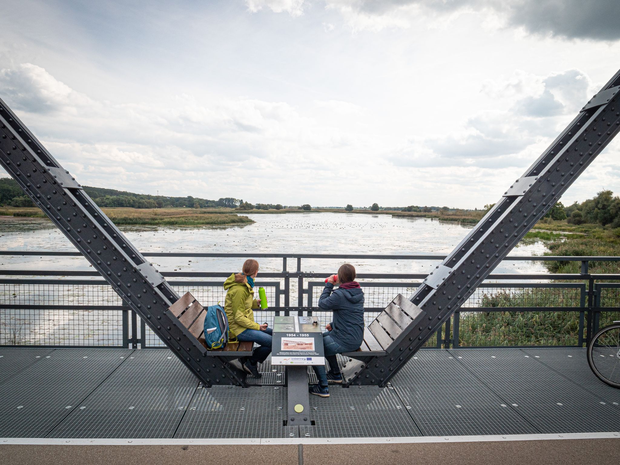
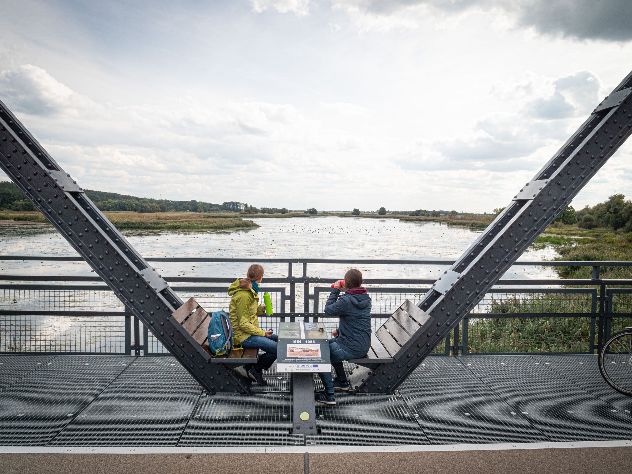
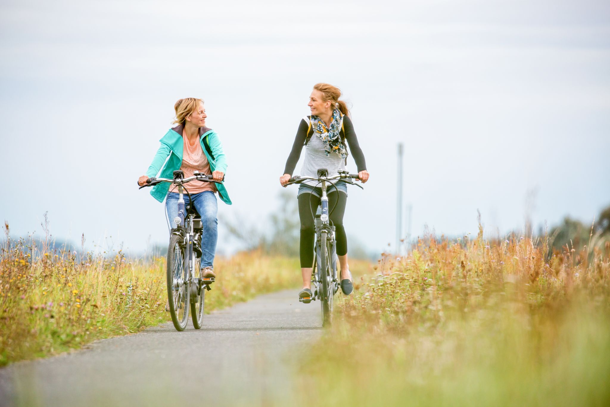
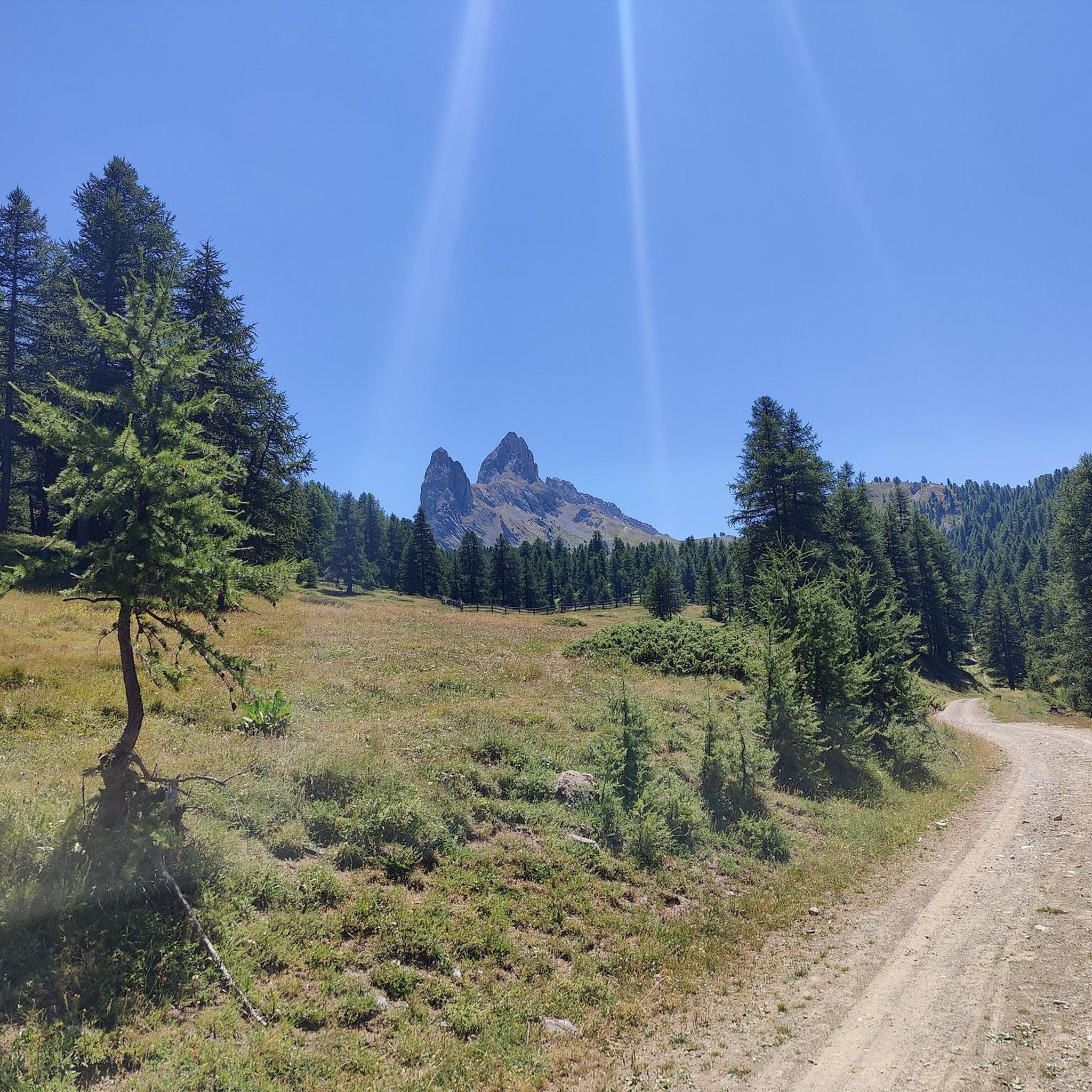
Other adventures around Park Krajobrazowy Ujście Warty

Tips from the Community

Unadorned hall church with a bell tower located over the street
0
0


Drives great 👍
0
0

The memorial is located in the Gorgast church cemetery. It consists of a square stone column on a square base, crowned by an eagle. The names of World War I victims are carved on two of the long sides (now completely illegible). On the other two sides, symbolically depict a sword and a steel helmet with oak leaves. Metal plaques bearing the inscription "In remembrance of the fallen, displaced persons, political prisoners, and mine victims of World War II," as well as the names of the victims of World War II, were subsequently attached to the short sides. Source: http://www.denkmalprojekt.org/dkm_deutschland/gorgast_wk2_brb.htm
0
0
The Gorgast village church, consecrated in 1959, is one of the newly constructed religious buildings in the early days of the GDR. The furnishings are predominantly modern and date from the time the church was built. The building replaced a previous structure from 1888, which was blown up by German troops at the end of World War II. The ruins were demolished in 1956. In the following years, the parish began rebuilding the church using the old bricks. The church was consecrated on Thanksgiving Day on October 5, 1959. Across the street, a bell tower made of reddish brick with pointed, Gothic-style bell arcades, in which two bells hang, was newly built. A cross stands above the pyramidal roof. Source: https://de.wikipedia.org/wiki/Dorfkirche_Gorgast
0
0

The current town hall building is most likely the third building to be erected on the New Market Square. The construction of the first council seat, and at the same time a merchant's house, can be dated to the mid-14th century. It is possible that the oldest town hall was in the form of a market hall, most likely built in a wooden structure. In the 15th century, another town hall was built in the form of a brick building, which, after modern reconstructions, stood until the 19th century. It was demolished in 1841, and a year later, construction of a new building began. Construction was completed in 1844. In addition to the city authorities, it also housed a restaurant, a beer house and a city museum. After World War II, until 1972, next to the seat of the city authorities, it also housed a hotel, a library and a cooperative bank. Currently, the entire building is occupied by the city and commune authorities and the Civil Registry Office.
4
0
The history of the chapel dates back to the turn of the 13th and 14th centuries, when a hospital was built outside the city walls. A small church was also built along with the hospital. It was probably a half-timbered structure, which, due to its poor technical condition, was rebuilt in brick in the 15th century. In the 18th century, a cemetery was built next to the church, and since then the church has served as a cemetery chapel.
2
0

Very nice Oderdeich cycle path.
1
0
Frequently Asked Questions
How many no traffic road cycling routes are available in Park Krajobrazowy Ujście Warty?
There are over 30 dedicated no traffic road cycling routes around Park Krajobrazowy Ujście Warty, offering a variety of distances and experiences. The region's flat terrain makes it ideal for continuous riding.
What is the typical terrain and difficulty level for road cycling in this area?
The terrain in Park Krajobrazowy Ujście Warty is predominantly flat, characterized by expansive meadows and wetlands. This makes most road cycling routes relatively easy, with minimal elevation gain, perfect for relaxed rides. For example, the Oder Dike Cycle Path – Geneschmar – Oderdamm loop from Küstrin-Kietz is an easy route with very little elevation.
What are some notable landmarks or natural features to see along the no traffic road cycling routes?
The park is an "Eldorado for birds" with over 280 species, so birdwatching points are a highlight, such as the Birdwatching Point at Park Krajobrazowy Ujście Warty. You can also explore historical sites like the Sonnenburg Castle Ruins (Słońsk), which you can pass on the Sonnenburg Castle Ruins loop from Czarnów. The meandering Warta River itself offers picturesque views.
Are there family-friendly no traffic road cycling routes in Park Krajobrazowy Ujście Warta?
Yes, the flat terrain and dedicated paths make many routes suitable for families. The absence of significant climbs ensures a less strenuous experience, allowing for enjoyable, continuous riding. Look for routes marked as 'easy' for the most family-friendly options.
Can I bring my dog on the cycling trails in Park Krajobrazowy Ujście Warty?
While many areas are dog-friendly, it's important to keep dogs on a leash, especially given the park's rich birdlife and protected natural environment. Always check local signage for specific rules regarding pets on individual paths or in nature reserves within the park.
What is the best time of year to go road cycling in Park Krajobrazowy Ujście Warty?
Spring and autumn are particularly recommended. Spring offers vibrant bird migrations and blooming landscapes, while autumn provides beautiful colors. Summer is also pleasant, but can be warmer. Winter cycling is possible, but some paths might be affected by weather conditions.
Where can I find parking for road cycling routes in the area?
Parking is generally available at key access points to the park and near popular trailheads. Towns like Küstrin-Kietz and Czarnów, which serve as starting points for several routes, often have designated parking areas. For example, the Church in Czarnów – Stone Tower Viewpoint loop from Czarnów starts from Czarnów, where parking can typically be found.
Are there any cafes or places to stop for refreshments along the no traffic routes?
While the park itself is largely natural, nearby towns and villages such as Słońsk and Kostrzyn nad Odrą offer cafes, pubs, and accommodation options. It's advisable to plan your route to pass through these settlements if you wish to make a refreshment stop, or carry your own provisions for longer stretches.
What do other road cyclists enjoy most about cycling in Park Krajobrazowy Ujście Warty?
The area is highly rated by the komoot community, with an average score of 4.8 stars. Reviewers often praise the tranquil, flat landscapes, the extensive network of low-traffic paths, and the unique birdwatching opportunities. The sense of peace and immersion in nature is frequently highlighted.
Are there any long-distance no traffic road cycling routes available?
Yes, the EuroVelo 2 route passes through the Park Krajobrazowy Ujście Warty, offering sections suitable for long-distance cycling. Additionally, routes like the Zollbrücke Flood Marker – Güstebieser Old Oder loop from Küstrin-Kietz provide a substantial distance of over 100 km, ideal for longer rides without significant traffic.
Are there any circular no traffic road cycling routes?
Many of the routes in the region are designed as loops, allowing you to start and end at the same point. For instance, the Hafen am Damm Kienitz loop from Küstrin-Kietz is a moderate-length circular route, perfect for exploring the area without retracing your steps.
What kind of wildlife can I expect to see while cycling?
Park Krajobrazowy Ujście Warty is renowned for its exceptional birdlife, including white-tailed eagles and cranes. Cyclists often spot various waterfowl, raptors, and other bird species, especially near the wetlands and observation points. The park's natural environment also supports other wildlife, though they may be more elusive.
Most popular routes around Park Krajobrazowy Ujście Warty
Most popular attractions around Park Krajobrazowy Ujście Warty

Get inspired with the komoot mobile app


Explore more
Browse the best Road cycling routes in other regions.
