The best walks and hikes around Lüterswil-Gächliwil
4.5
(588)
3,456
hikers
257
hikes
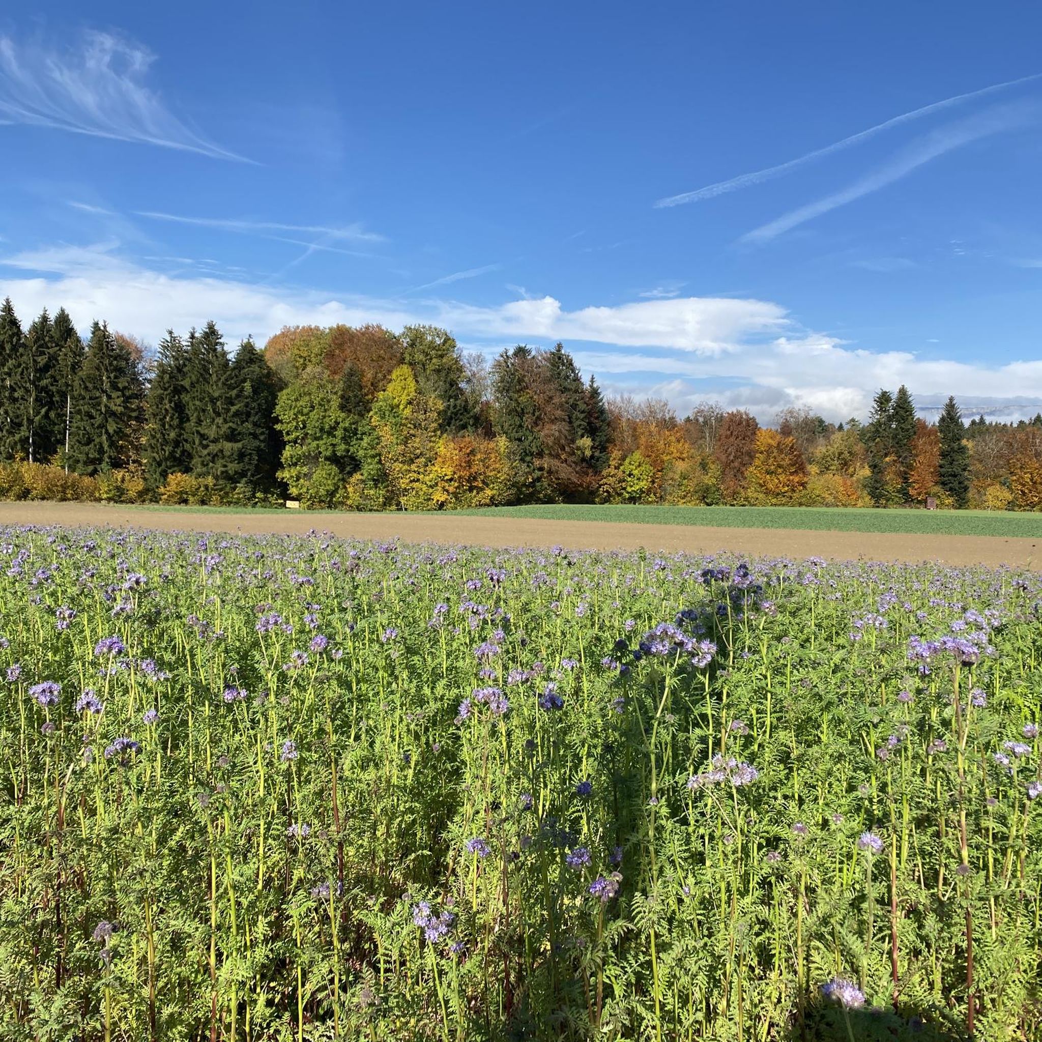
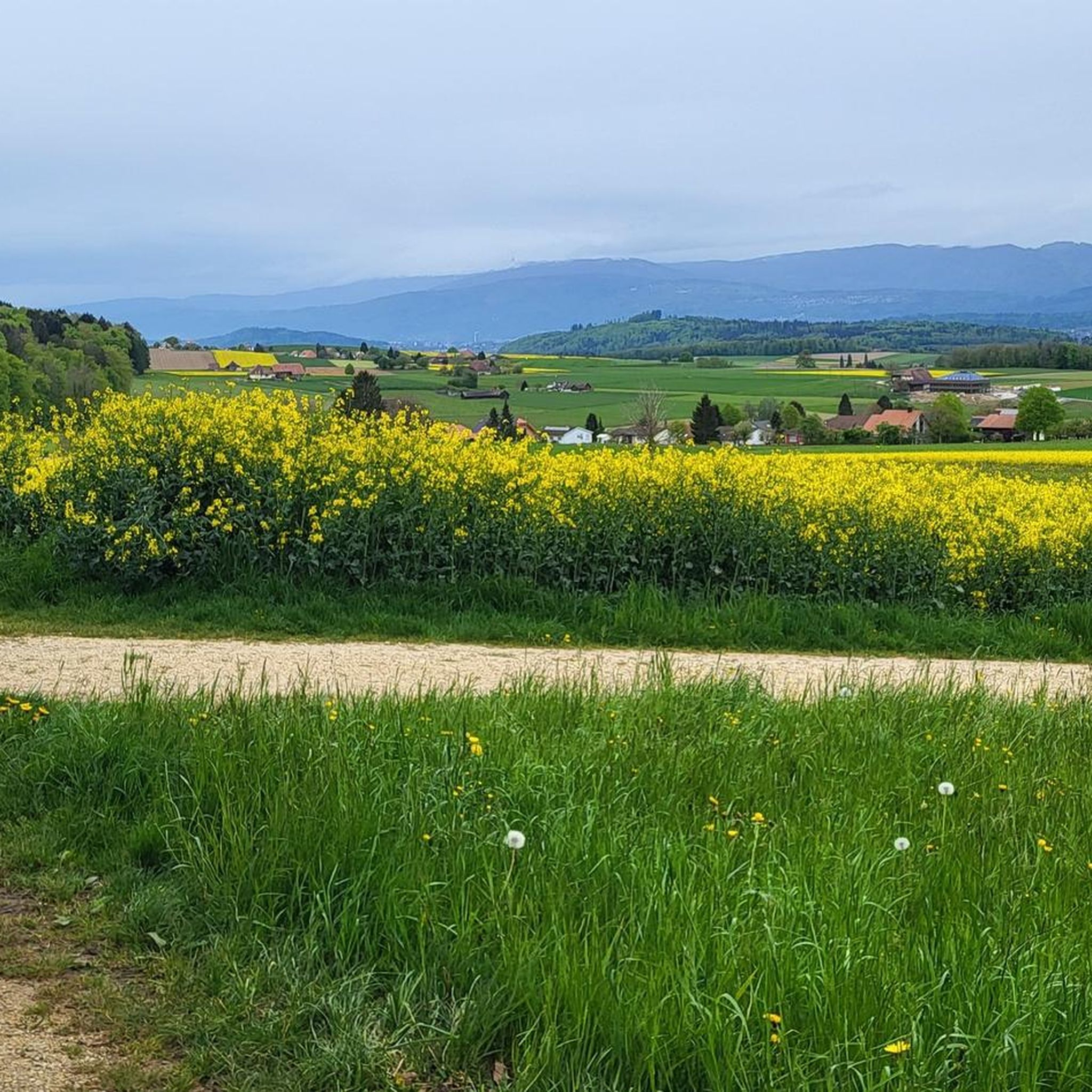
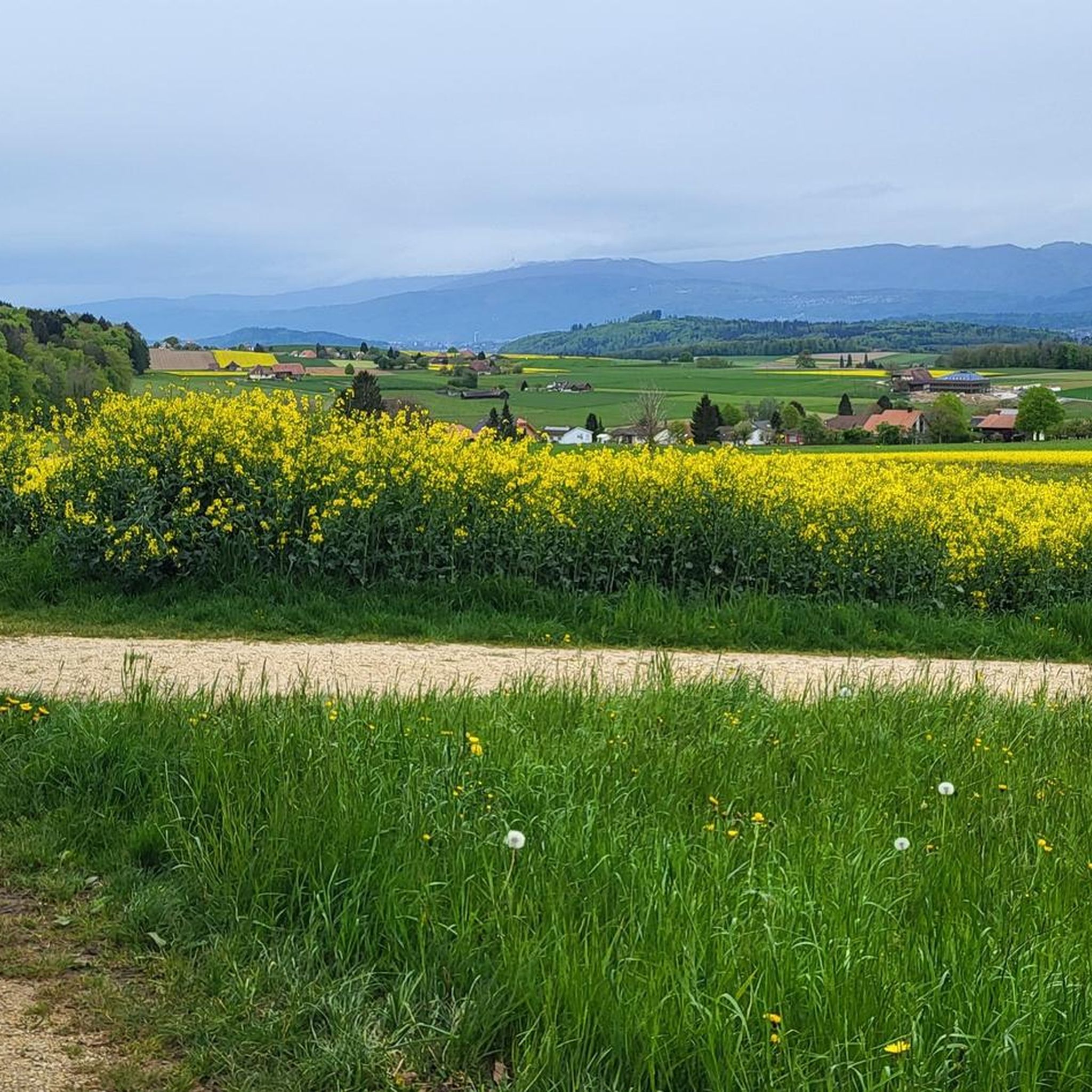
Hiking around Lüterswil-Gächliwil offers diverse landscapes within the Bucheggberg region of Solothurn, Switzerland. The area features a blend of agricultural land, dense forests, and rolling hills. Trails often traverse the Limpach valley, known for its fields and meadows, and provide views of the Bernese Alps and Jura chain. The terrain includes gentle hills and extensive woodlands, ensuring varied elevation changes and shaded paths.
Best hiking trails around Lüterswil-Gächliwil
- The most popular hiking route is Mühlebach Stream – Buchegg Castle loop…
Last updated: June 27, 2026
4.9
(9)
46
hikers
16.7km
04:37
300m
300m
Moderate hike. Good fitness required. Easily-accessible paths. Suitable for all skill levels.
5.0
(5)
18
hikers
6.40km
01:48
140m
130m
Easy hike. Great for any fitness level. Easily-accessible paths. Suitable for all skill levels.

Sign up for free
4.5
(6)
14
hikers
5.60km
01:31
80m
80m
Easy hike. Great for any fitness level. Easily-accessible paths. Suitable for all skill levels.
4.3
(4)
11
hikers
5.11km
01:24
80m
80m
Easy hike. Great for any fitness level. Easily-accessible paths. Suitable for all skill levels.
4.8
(4)
18
hikers
5.48km
01:36
160m
160m
Easy hike. Great for any fitness level. Easily-accessible paths. Suitable for all skill levels.
Get access to more routes and recommendations from other explorers.
Sign up for free
Already have an account?
Our route recommendations are based on thousands of hikes, rides, and runs completed by other people on komoot.
Start today with a free account
Your next adventure awaits.
Login or Signup
Tips from the Community


Casual, easy to ride trail.
0
0

Beautiful view from the Egg near Aetigkofen
0
0

At this point there is a sandstone pit, which can be accessed from the back through a tunnel. In the pit there is a fireplace and various wooden chairs made from tree trunks. In the summer a shady place to grill. "You enter the pit through a tunnel that the users once excavated. Mining began in the 16th century. At that time, a lot of millstones were needed, a pit near Oberramsern could no longer meet the demand. This was the decision of the Great Council of Solothurn In 1527 a local miller was commissioned to quarry stone near Ober Bockstein on its land. After a few years, however, the miller gave up, as it turned out that his sandstone was too soft for millstones. In 1777, operations resumed in the Upper Bockstein Bockstein-Grube. Above all stove plates were now made from the sandstone. The last stone carver, the "Grubendurs", lived with his wife, the "Grubenänni" until 1890 on site, where the two had set up makeshift in a cave-like niche, as stated on the information board." Source: web.
0
0

Definitely more fun going down than up.
2
0
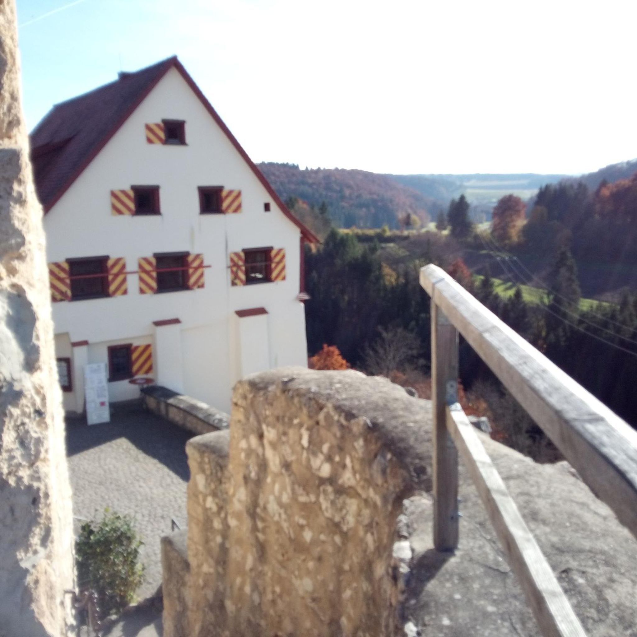
The castle is a small gem, with - as already described - a beautiful view of the Alpine chain. In front of it there is a nice restaurant with a small "green" garden. Very nice for the biker break in between.
0
0

Shortly close to the rain, a bit slippery.
0
0

In the 16th century, millstones were broken in "Ober Bockstein" for a few years. However, these rather soft sandstones were not particularly suitable as grinding stones. The grounds have not been exploited in the Fogle for centuries. Only in 1977 stones were broken again and from 1847 these beautiful stones were only hewn as stove plates. The last Steinhauser, the "Grubendurs", lived with his wife, the "Grubenänni" until his death in 1890 in the pit, which was poorly furnished.
1
0
Frequently Asked Questions
How many hiking trails are available in Lüterswil-Gächliwil?
Lüterswil-Gächliwil offers a comprehensive network of over 260 hiking routes. These trails cater to various fitness levels, with approximately 140 easy routes, 118 moderate routes, and a few more challenging options.
What kind of landscapes can I expect to see while hiking in this region?
The region is characterized by its diverse and serene natural beauty. You'll find a harmonious blend of agricultural land, dense forests, and rolling hills, particularly within the gentle Bucheggberg hills. Many trails also traverse the picturesque Limpach valley, known for its fields and meadows.
Are there any family-friendly hiking trails in Lüterswil-Gächliwil?
Yes, there are many family-friendly options. The region's extensive network includes numerous easy routes that are suitable for families. For example, the Waldhaus Biezwil loop from Lüterswil-Gächliwil is an easy 4.0-mile (6.4 km) path through tranquil forests and open areas, perfect for a leisurely family outing.
Can I bring my dog on the hiking trails?
Generally, dogs are welcome on hiking trails in the Lüterswil-Gächliwil area. However, it's always recommended to keep your dog on a leash, especially when passing through agricultural areas or near livestock, and to respect local regulations. The tranquil forests and open paths provide a great environment for walks with your canine companion.
Are there any circular hiking routes available?
Yes, circular routes are a popular feature in the region. The View from Egg near Aetigkofen loop from Lüterswil-Gächliwil is a great example, offering panoramic views over agricultural land. The broader Buechibärger Circular Hiking Route also showcases the distinctive character of the Bucheggberg area.
What are some notable points of interest or landmarks along the trails?
Along many hiking paths, you can encounter charming farming villages and historic sites. Nearby attractions include several castles such as Buchegg Castle and Jegenstorf Castle. You might also discover natural monuments and various lakes like Bellacher Weiher, offering scenic spots for a break.
What do other hikers enjoy most about hiking in Lüterswil-Gächliwil?
The area is highly rated by the komoot community, with an average score of 4.5 stars from over 500 reviews. Hikers often praise the quiet woodlands, the well-developed trail network, and the picturesque views, including glimpses of the Bernese Alps and the distant Jura chain. The minimal urbanization also contributes to a more natural and peaceful hiking experience.
Is it possible to reach the hiking areas by public transport?
While specific public transport details for every trailhead vary, the region is generally accessible. Switzerland has an excellent public transport network. For detailed planning, it's advisable to check local bus schedules connecting to villages within the Bucheggberg area, which can serve as starting points for many hikes.
Are there good parking options for hikers?
Yes, many trailheads in and around Lüterswil-Gächliwil offer designated parking areas. As the region is popular for outdoor activities, local communities often provide facilities for hikers. It's always a good idea to check specific route details on komoot for parking information related to your chosen trail.
What is the best time of year to go hiking in Lüterswil-Gächliwil?
The region offers enjoyable hiking experiences throughout much of the year. Spring and autumn provide pleasant temperatures and beautiful scenery with blooming flowers or vibrant foliage. Summer is also excellent, with extensive forests offering shaded trails, which are particularly appealing during warmer months. Winter hiking is possible, but some trails might require appropriate gear or be less accessible depending on snow conditions.
Are there any places to eat or drink near the hiking trails?
Yes, along many hiking paths, you can encounter charming farming villages that may offer local cafes or restaurants. While Lüterswil-Gächliwil itself is a smaller community, the surrounding Bucheggberg region has various options for refreshments and meals, allowing you to combine your hike with a culinary stop.
Can I find routes with panoramic views?
Absolutely. Several trails in the Lüterswil-Gächliwil area offer stunning panoramic views. The hilly terrain of the Bucheggberg provides elevated vantage points where you can often see the majestic Bernese Alps and the distant Jura chain. The Mühlebach Stream – Buchegg Castle loop from Buchegg is one such route that provides excellent views of the surrounding countryside.
Most popular routes around Lüterswil-Gächliwil
Most popular attractions around Lüterswil-Gächliwil

Get inspired with the komoot mobile app


Explore more
Browse the best Hikes in other regions.
