The best hikes from bus stations around Urkiola
4.5
(538)
3,962
hikers
22
hikes
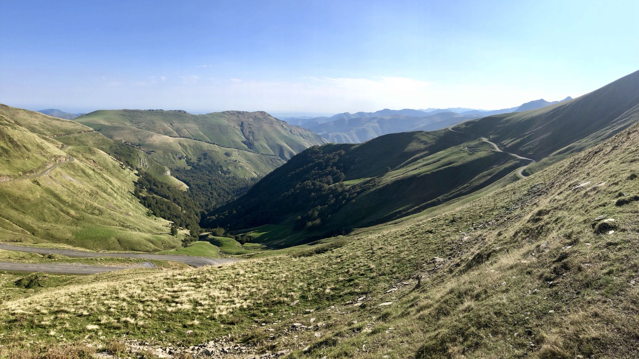
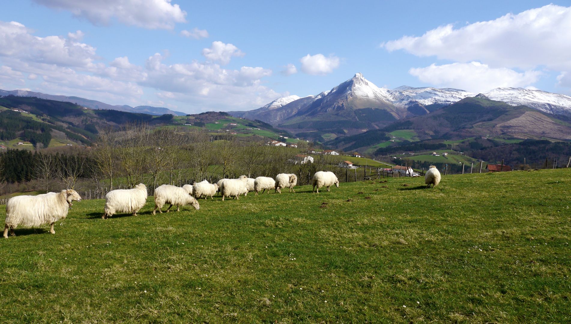
Bus station hiking trails around Urkiola Natural Park traverse a landscape characterized by striking limestone formations, rugged mountain ranges, and deep valleys. The terrain transitions from dense beech, pine, and oak forests in lower areas to rocky summits at higher elevations, including the iconic Anboto Massif. Streams run through its valleys, contributing to a diverse ecosystem.
Best bus station hiking trails around Urkiola
- The most popular bus station hiking route is Urkiolaguirre y Pagazelaiburu, circular desde Urkiola — Parque Natural…
Last updated: June 28, 2026
5.0
(7)
45
hikers
Moderate hike. Good fitness required. Mostly accessible paths. Sure-footedness required.
4.8
(12)
83
hikers
8.15km
02:38
320m
320m
Moderate hike. Good fitness required. Mostly accessible paths. Sure-footedness required.

Sign up for free
4.8
(9)
32
hikers
8.38km
02:39
320m
320m
Moderate hike. Good fitness required. Mostly accessible paths. Sure-footedness required.
4.7
(6)
19
hikers
Easy hike. Great for any fitness level. Easily-accessible paths. Suitable for all skill levels.
3.0
(2)
17
hikers
18.0km
06:22
980m
980m
Hard hike. Very good fitness required. Mostly accessible paths. Sure-footedness required.
Get access to more routes and recommendations from other explorers.
Sign up for free
Already have an account?
Our route recommendations are based on thousands of hikes, rides, and runs completed by other people on komoot.
Start today with a free account
Your next adventure awaits.
Login or Signup


Tips from the Community

The first summit you reach when leaving the Urkiola Sanctuary. The views of the Anboto and its ridge, impressive.
1
0

Beautiful views . A few minutes from the parking lots
0
0
Beautiful place for all tastes For hiking, cycling, to bring children with a park with swings
0
0

Section of the long-distance trail 38, to vary the descent of Untzillatx a little.
0
0
Beautiful hermitage with two small caves next to it, at the confluence with the GR38.
0
0
Frequently Asked Questions
How many hiking trails accessible by bus are available in Urkiola?
There are over 20 hiking trails in Urkiola that are easily accessible from bus stations, offering a range of difficulties from easy strolls to challenging mountain ascents. This guide features 22 such routes, ensuring plenty of options for exploring the natural park without a car.
Are there any easy, family-friendly hikes from bus stops in Urkiola?
Yes, Urkiola offers several easy routes suitable for families, often starting near the Urkiola Sanctuary, which is a common bus stop. An example is the Bizkarra Restaurant – Urkiola Sanctuary loop, an easy 4.1 km hike with minimal elevation gain, perfect for a relaxed outing.
What kind of terrain can I expect on bus-accessible hikes in Urkiola?
Hikes in Urkiola accessible by bus feature diverse terrain. You'll encounter leafy beech, pine, and oak forests in lower areas, transitioning to meadows with grazing animals, and eventually rugged limestone formations and rocky summits at higher elevations. Many paths follow traditional mountain routes, offering varied landscapes.
Are there circular hiking routes available from bus stations in Urkiola?
Yes, many of the bus-accessible routes in Urkiola are circular, allowing you to start and end your hike at the same point, often near a bus stop. For instance, the Urkiolaguirre y Pagazelaiburu, circular desde Urkiola is a moderate 13.1 km loop offering diverse scenery.
What are some notable landmarks or viewpoints I can reach on these trails?
Many trails lead to significant landmarks and offer panoramic views. You can hike to the iconic Saibi Summit Cross, or explore the area around the historic Urkiola Sanctuary, which serves as a starting point for many routes and offers insights into the region's cultural heritage.
What do other hikers enjoy most about the bus-accessible trails in Urkiola?
The Urkiola region is highly rated by the komoot community, with an average score of 4.5 stars from nearly 500 reviews. Hikers frequently praise the dramatic mountainous terrain, the lush forests, and the sense of tranquility found on these well-maintained paths, especially their accessibility via public transport.
Can I bring my dog on the hiking trails in Urkiola?
Urkiola Natural Park is generally dog-friendly, and many trails are suitable for hiking with dogs. However, it's always recommended to keep dogs on a leash, especially in areas with livestock or protected wildlife, and to check specific trail regulations before you go. Ensure your dog is comfortable with varied terrain and distances.
What is the best time of year to hike in Urkiola from a bus station?
Urkiola offers hiking opportunities year-round. Spring and autumn provide pleasant temperatures and vibrant colors, while summer is ideal for higher altitude routes. Winter hikes can be beautiful, especially after snowfall, but require appropriate gear and caution due to potentially challenging conditions. The Saibi Summit Cross – Urkiola Sanctuary loop is a good option for many seasons.
Are there any challenging routes accessible by bus for experienced hikers?
Yes, Urkiola is known for its rugged limestone formations and offers challenging routes for experienced hikers. While this guide focuses on bus-accessible trails, some of these can be quite demanding, featuring significant elevation gains and rocky sections. The park's highest peak, Mount Anboto (1330m), is a central feature, and routes towards its massif offer rewarding challenges and magnificent panoramic views.
Where can I find information about bus routes and schedules to Urkiola Natural Park?
For current bus routes and schedules to Urkiola Natural Park, it's best to consult the local public transport authority's website or information points. The Urkiola Sanctuary is a key hub and common drop-off point for buses, serving as an excellent starting location for many of the hikes featured in this guide.
Are there any places to eat or get refreshments near the bus stops in Urkiola?
Yes, the area around the Urkiola Sanctuary, a primary bus stop, has facilities including cafes and restaurants. This makes it convenient to grab a meal or refreshment before or after your hike. The Bizkarra Restaurant – Urkiola Sanctuary loop even starts near a restaurant, offering a convenient option.
Most popular routes around Urkiola
Most popular attractions around Urkiola

Get inspired with the komoot mobile app


