The best hikes from bus stations around Biosphäre Entlebuch
4.6
(9984)
65,553
hikers
203
hikes
Bus station hiking trails around Biosphäre Entlebuch traverse a diverse landscape recognized by UNESCO for its natural treasures. The region is characterized by Switzerland's largest moor landscapes, including upland moors and fens, alongside the striking karst terrain of the Schrattenfluh. Hikers will encounter green valleys, dense forests, wild mountain streams, and rolling countryside, with peaks like Fürstein and Brienzer Rothorn offering panoramic views.
Best bus station hiking trails around Biosphäre Entlebuch
- The most popular bus station hiking route is Flühli…
Last updated: October 2, 2026
4.5
(169)
753
hikers
8.95km
02:36
230m
240m
Hike the moderate 5.6 miles (8.9 km) Flühli - Chessiloch waterfall - Entlebuch Biosphere trail, featuring a waterfall and suspension bridge.
4.1
(40)
150
hikers
12.7km
03:44
380m
380m
Moderate hike. Good fitness required. Easily-accessible paths. Suitable for all skill levels.

4.7
(32)
137
hikers
13.2km
04:49
820m
820m
Moderate hike. Good fitness required. Easily-accessible paths. Suitable for all skill levels.
4.8
(5)
15
hikers
17.7km
07:07
1,170m
1,080m
Hike the difficult 11.0-mile From Hirsegg to Sorenberg - Entlebuch Biosphere trail, gaining 3848 feet with panoramic views.
4.0
(3)
6
hikers
3.29km
00:54
50m
60m
Easy hike. Great for any fitness level. Easily-accessible paths. Suitable for all skill levels.
Get access to more routes and recommendations from other explorers.
Already have an account?
Our route recommendations are based on thousands of hikes, rides, and runs completed by other people on komoot.
Start today with a free account
Your next adventure awaits.
Popular around Biosphäre Entlebuch
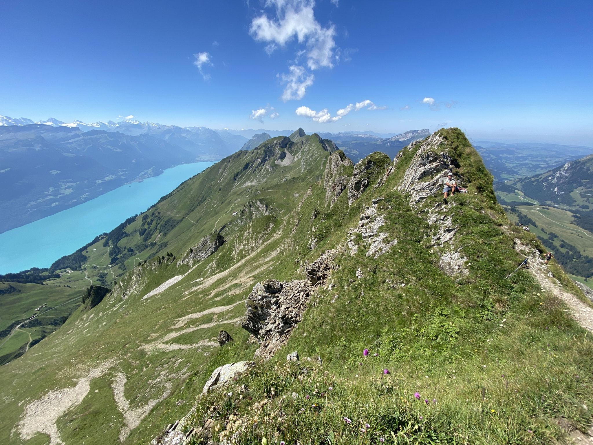
Napfbergland Border Trail – Hike between Bern and Lucerne

Trans Swiss Trail – Hiking across Switzerland
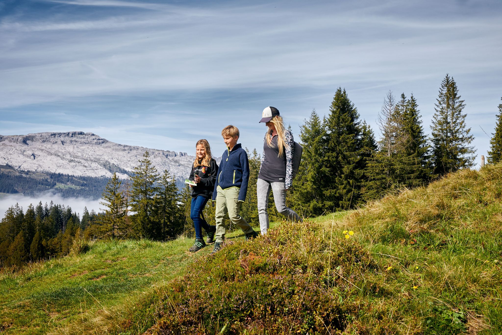
Hiking in the UNESCO Biosphere Entlebuch around Sörenberg Flühli
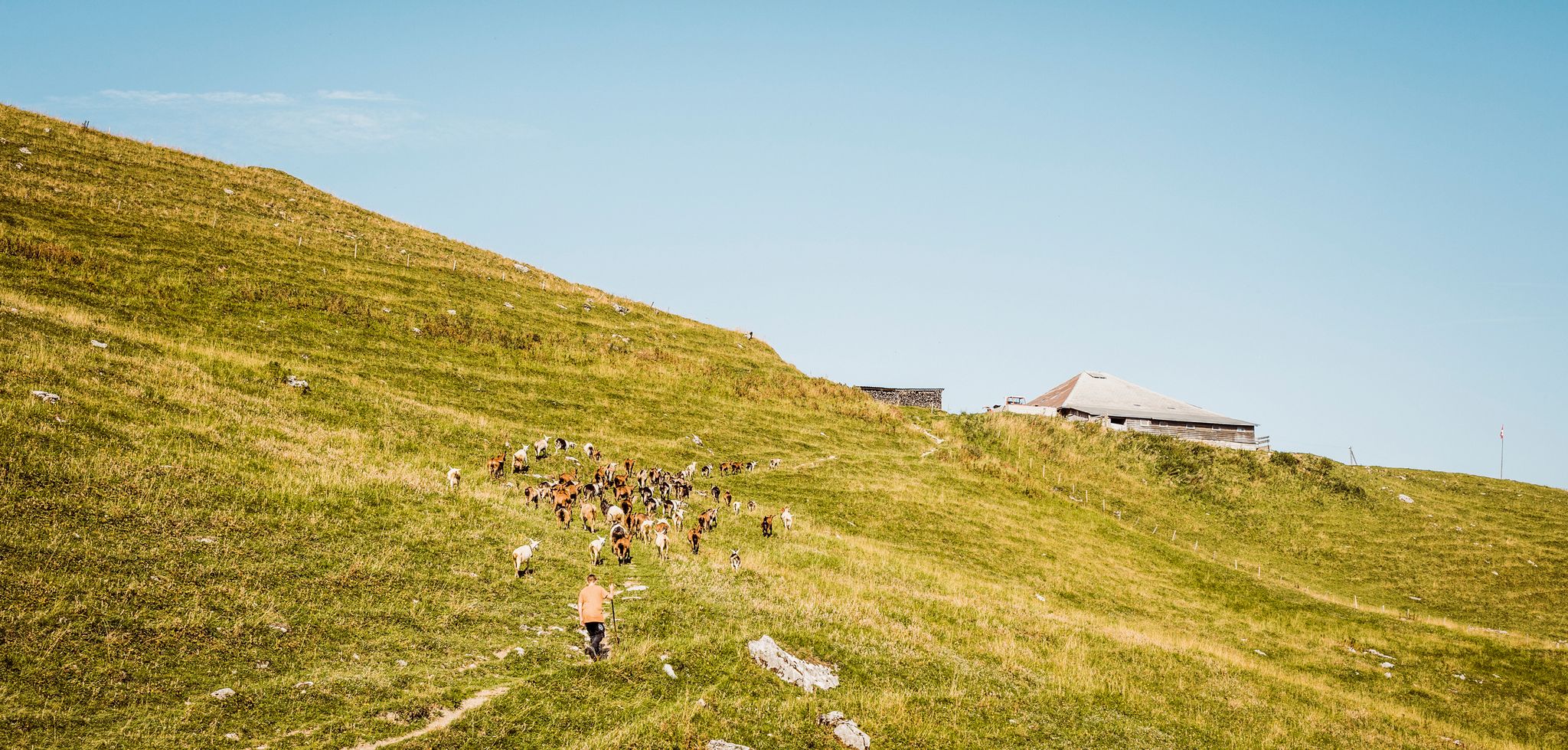
Swiss nature parks — Adrian the Goatherd of Bern
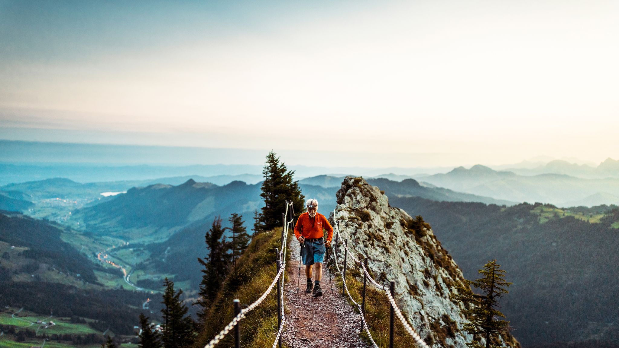
Lucerne — The Myth-man

Hope 1000 – Bikepacking Switzerland in 11 stages
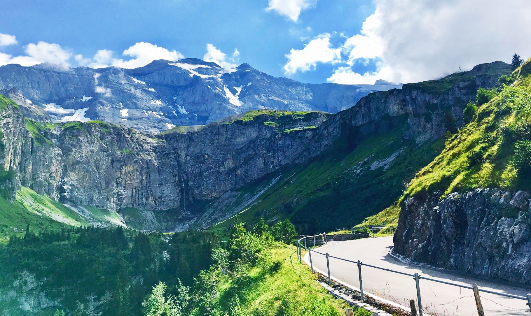
Alpine Panorama Route — 8 stages through the foothills of the Alps
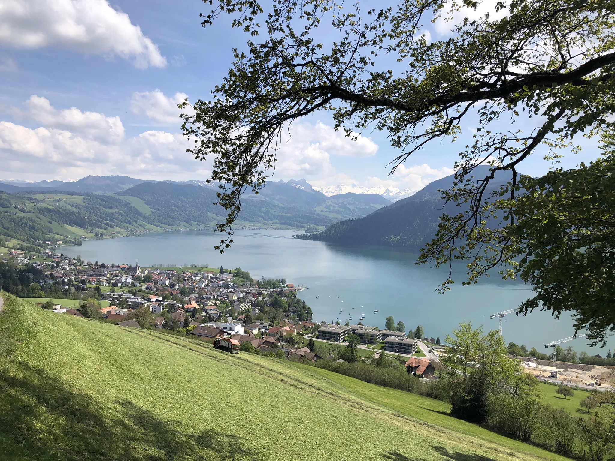
The Herzroute – Cycling through the heart of Switzerland
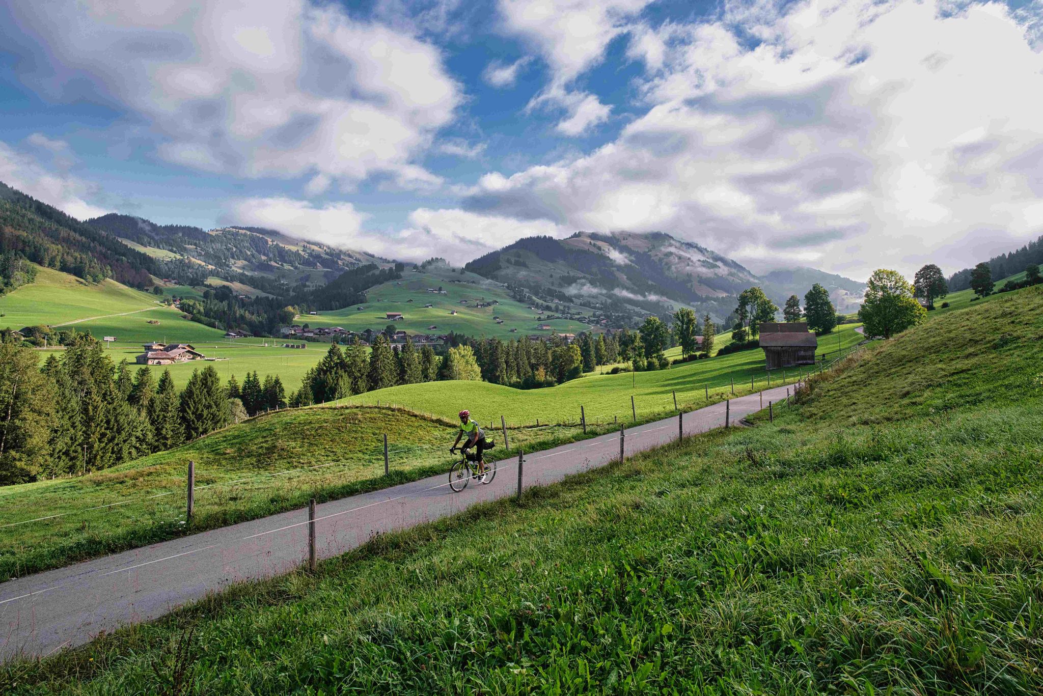
From Lake Constance to Lake Geneva
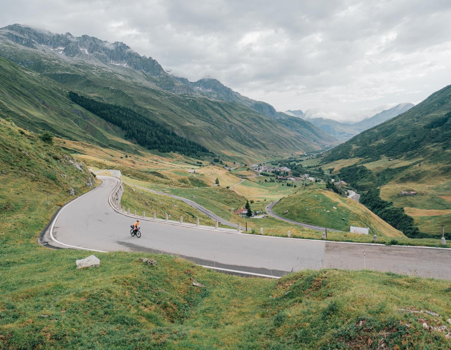
Discover Central Switzerland – ride Route 1291
Other adventures around Biosphäre Entlebuch


Tips from the Community

Beautiful suspension bridge in a peaceful gorge. We arrived early in the morning and had the whole place to ourselves. Definitely one of the highlights of our walk with Maui. 🐾🇨🇭
0
0
A beautiful hidden spot, especially peaceful early in the morning. The combination of the gorge, waterfall and forest makes this part of the walk really special.
0
0

Easy, beautiful hike along the Emme River. Comfortable shoes, no hiking boots necessary.
0
0

The two waterfalls have been an attraction since the beginning of tourism in Flühli. So that the waterfall could be admired in the best possible way, a wooden suspension bridge had been spanned across the rock basin.
0
0
The Chessimättli is the longest suspension bridge in the UNESCO Biosphere Entlebuch and hovers up to 45 meters above the Seebach. It has a length of 65 meters.
0
0

The suspension bridge can be pretty wobbly. =)
0
0

A wonderful piece of earth and a welcome refreshment for body and soul.
0
0

Amazing place, a true gem! The waterfall, cliffs, and gorge are natural marvels that make you feel small in comparison.
0
0
Frequently Asked Questions
How many bus station hiking trails are available in Biosphäre Entlebuch?
There are over 200 hiking trails accessible directly from bus stations throughout the Biosphäre Entlebuch. This includes a wide range of options, with more than 50 easy routes, over 100 moderate trails, and 50 challenging hikes for experienced trekkers.
Are there any family-friendly bus station hikes in Biosphäre Entlebuch?
Yes, the region offers several family-friendly options. Many trails are designed to be accessible and engaging for all ages. For example, the Marbacher Runde – Biosphere Entlebuch is an easy, shorter loop perfect for families, starting conveniently from a bus stop.
Can I find circular hiking routes that start and end at a bus station?
Absolutely. Many routes in Biosphäre Entlebuch are designed as circular walks, allowing you to start and finish at the same bus station. An excellent example is the Circular route Entlebuch - Rengg - Ebnet – Biosphere Entlebuch, which offers a scenic loop without needing to arrange return transport.
Are there bus-accessible trails that feature waterfalls or other natural landmarks?
Yes, you can definitely reach stunning natural features by bus. The Flühli - Chessiloch Waterfall Loop is a popular moderate hike that takes you to the impressive Chessiloch Waterfall and its suspension bridge, all easily accessible from a bus stop.
What kind of terrain can I expect on bus station hikes in Biosphäre Entlebuch?
The Biosphäre Entlebuch is known for its diverse landscapes. You'll encounter everything from the unique moorlands, such as those found along the Mettelimoos moorland path, to the striking karst formations of the Schrattenfluh. Expect green valleys, dense forests, and rolling hills, with some trails leading to panoramic mountain views.
Are there any challenging bus-accessible hikes for experienced hikers?
For those seeking a challenge, the Biosphäre Entlebuch offers several difficult routes from bus stations. The Schrattenfluh Ridge Loop is a demanding hike that provides breathtaking views across the region's unique karst landscape and is reachable via public transport.
What do other hikers enjoy most about the trails in Biosphäre Entlebuch?
The Biosphäre Entlebuch is highly rated by the komoot community, with an average score of 4.6 stars from over 8,500 reviews. Hikers frequently praise the region's diverse and well-maintained trails, the stunning natural beauty of the moorlands and mountains, and the excellent accessibility via public transport, making it easy to explore without a car.
When is the best time of year to go hiking from bus stations in Biosphäre Entlebuch?
The best time to hike in Biosphäre Entlebuch is generally during the spring and summer months, from May to September. During this period, the weather is pleasant with mild temperatures and longer daylight hours, making it ideal for exploring the diverse landscapes and enjoying the outdoor activities.
Are there any bus-accessible routes that offer panoramic views?
Many trails in the region provide spectacular panoramic views. For instance, the Circular hike Schüpfheim – Farnere offers expansive vistas of the surrounding mountains and valleys. Peaks like the Brienzer Rothorn Summit and Hengst (2,091 m) — Schrattenfluh summit are also accessible via bus connections and offer first-class views.
Are dogs allowed on the bus station hiking trails in Biosphäre Entlebuch?
Generally, dogs are welcome on most hiking trails in Biosphäre Entlebuch, provided they are kept on a leash, especially in nature protection areas and near livestock. Always check specific trail regulations or local signage for any restrictions before you go, particularly in sensitive moorland areas.
What unique natural features can I explore on these bus-accessible hikes?
The Biosphäre Entlebuch is a UNESCO-recognized region, celebrated for its unique natural features. You can explore Switzerland's largest moor landscapes, including upland moors and fens, and the distinctive karst terrain of the Schrattenfluh. The region is also home to diverse flora and fauna, and you might encounter wild mountain streams and lush forests.
Most popular routes around Biosphäre Entlebuch
Most popular attractions around Biosphäre Entlebuch

Get inspired with the komoot mobile app


