The best city hikes and walks around Östliche Chiemgauer Alpen
4.6
(4774)
22,743
hikers
12
hikes
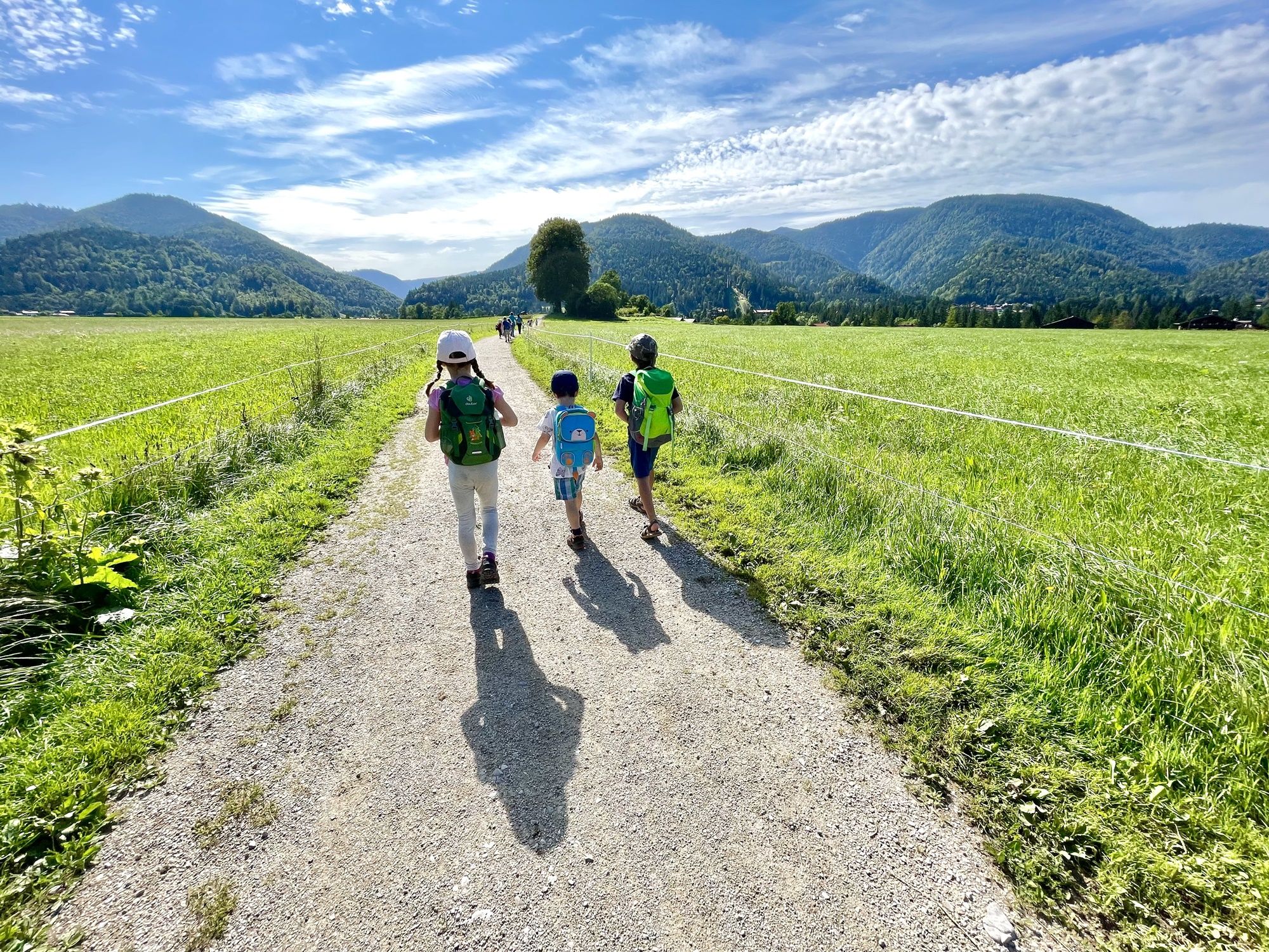
Urban hiking trails around Östliche Chiemgauer Alpen offer routes through a region characterized by diverse mountainous terrain, including the Chiemgauer and Loferer Alps, with a mix of steep mountains and gently sloping hills. The landscape features extensive mountain mixed forests of spruce, fir, and beech, alongside picturesque lakes such as Weitsee, Falkensee, and Förchensee. Hikers can expect varied scenery, from impressive rock formations to lush alpine meadows, often with views of the surrounding peaks. These urban routes provide accessible ways…
Last updated: July 12, 2026
4.7
(59)
426
hikers
4.23km
01:05
10m
10m
Easy hike. Great for any fitness level. Easily-accessible paths. Suitable for all skill levels.
5.0
(1)
16
hikers
Easy hike. Great for any fitness level. Easily-accessible paths. Suitable for all skill levels.

Sign up for free
4.6
(48)
287
hikers
Easy hike. Great for any fitness level. Easily-accessible paths. Suitable for all skill levels.
22
hikers
Easy hike. Great for any fitness level. Easily-accessible paths. Suitable for all skill levels.
4.3
(8)
33
hikers
Easy hike. Great for any fitness level. Easily-accessible paths. Suitable for all skill levels.
Get access to more routes and recommendations from other explorers.
Sign up for free
Already have an account?
Our route recommendations are based on thousands of hikes, rides, and runs completed by other people on komoot.
Start today with a free account
Your next adventure awaits.
Login or Signup
Popular around Östliche Chiemgauer Alpen

Other adventures around Östliche Chiemgauer Alpen


Tips from the Community

The salt cave is highly recommended. You lie on the water like in the Dead Sea.
1
0

The SalzAlpenSteig trail also runs along this area. All information about the trail can be found at the following link: www.salzalpensteig.com/wanderetappen/etappenuebersicht.html (as of August 12, 2025).
0
0
The SalzAlpenSteig trail also runs along this area. All information about the trail can be found at the following link: www.salzalpensteig.com/wanderetappen/etappenuebersicht.html (as of August 12, 2025).
0
0
The SalzAlpenSteig trail also runs nearby. All information about the trail can be found at the following link: www.salzalpensteig.com/wanderetappen/etappenuebersicht.html (as of August 12, 2025).
0
0
The SalzAlpenSteig trail also runs along this area. All information about the trail can be found at the following link: www.salzalpensteig.com/wanderetappen/etappenuebersicht.html (as of August 12, 2025).
0
0

Beautiful facade house with a long history
3
0
Beautiful place next to it is the brewery
4
0
One of the oldest districts of Bad Reichenhall
3
0
Frequently Asked Questions
How many urban hiking trails are available in Östliche Chiemgauer Alpen?
There are over 15 urban hiking trails around Östliche Chiemgauer Alpen, all rated as easy, making them accessible for most walkers.
Are the urban hiking trails in Östliche Chiemgauer Alpen suitable for beginners?
Yes, all the urban hiking trails in this guide are rated as easy. They feature minimal elevation gain and are generally short in distance, making them perfect for beginners or those looking for a relaxed stroll. For example, the RupertusTherme, Bad Reichenhall – View of Hochstaufen loop is just over 3 km long.
What is the typical duration of an urban hike in this region?
The urban hikes in Östliche Chiemgauer Alpen typically range from 1 to 2 hours. For instance, the View of Hochstaufen loop from Bad Reichenhall-Kirchberg can be completed in about 1 hour and 10 minutes, while the Town Hall Square, Bad Reichenhall – Old Saltworks, Bad Reichenhall loop takes around 1 hour and 30 minutes.
Are there urban hikes suitable for families with children?
Absolutely. Given that all urban trails are rated as easy with low elevation changes and shorter distances, they are well-suited for families. The paths are generally well-maintained, offering a pleasant experience for all ages.
Can I bring my dog on urban hikes in Östliche Chiemgauer Alpen?
Yes, dogs are generally welcome on urban hiking trails in the Östliche Chiemgauer Alpen. It's always advisable to keep your dog on a leash, especially in populated areas or near wildlife, and to carry waste bags. Always check local signage for any specific restrictions.
What kind of sights or natural features can I expect on these urban hikes?
Urban hikes in this region often combine town exploration with views of the surrounding natural beauty. You might encounter charming town squares, historical buildings, and enjoy glimpses of the majestic Chiemgauer Alps. Some routes offer views towards peaks like Hochstaufen. While not directly on urban trails, the wider region features picturesque lakes like Weitsee and Falkensee, and impressive natural formations such as the Röthelmoosbach Waterfall.
Are there circular urban hiking routes available?
Yes, many of the urban hikes in Östliche Chiemgauer Alpen are designed as circular routes, allowing you to start and end at the same point. Examples include the Town Hall Square, Bad Reichenhall – View of Hochstaufen loop and the View of Hochstaufen loop from Bad Reichenhall.
Where can I park when starting an urban hike?
For urban hikes, parking is typically available in or near the starting towns, such as Bad Reichenhall. Look for public parking lots or designated street parking areas. It's recommended to check local parking regulations and availability, especially during peak seasons.
Can I reach the urban hiking trails by public transport?
Many urban hiking trails in the Östliche Chiemgauer Alpen, particularly those starting in towns like Bad Reichenhall, are well-connected by public transport. This allows for convenient access without needing a car. Check local bus and train schedules for specific routes and stops.
When is the best time of year for urban hiking in Östliche Chiemgauer Alpen?
Urban hiking in Östliche Chiemgauer Alpen is enjoyable year-round. Spring and autumn offer pleasant temperatures and beautiful scenery, while summer is ideal for combining hikes with visits to town amenities. Even in winter, with appropriate clothing, the low-lying urban trails can be a charming way to explore the festive atmosphere of the towns.
What do other hikers enjoy most about urban hiking in Östliche Chiemgauer Alpen?
The urban hiking routes in Östliche Chiemgauer Alpen are highly rated by the komoot community, with an average score of 4.55 stars. Hikers often praise the accessibility and ease of these trails, making them perfect for a leisurely stroll. The combination of town exploration with scenic views of the surrounding mountains and natural features is also frequently highlighted.
Most popular routes around Östliche Chiemgauer Alpen
Most popular attractions around Östliche Chiemgauer Alpen

Get inspired with the komoot mobile app


Explore more
Browse the best Hikes in other regions.
