The best hikes from bus stations around Geigelstein
4.6
(51855)
240,092
hikers
657
hikes
Bus station hiking trails around Geigelstein offer access to the Chiemgau Alps, a region characterized by its diverse landscapes and significant natural features. Geigelstein, the third highest peak at 1,808 meters, provides expansive panoramic views. The terrain includes sharp dolomite ridges and softer, rounded marl-rich formations, supporting a rich alpine flora within a designated nature reserve. A network of trails caters to various fitness levels, providing opportunities to explore this varied environment.
Best bus station hiking trails around Geigelstein
- The…
Last updated: October 7, 2026
4.8
(136)
660
hikers
Easy hike. Great for any fitness level. Easily-accessible paths. Suitable for all skill levels.
4.8
(168)
622
hikers
Easy hike. Great for any fitness level. Easily-accessible paths. Suitable for all skill levels.

4.6
(18)
77
hikers
14.6km
06:52
1,090m
1,090m
Hard hike. Very good fitness required. Sure-footedness, sturdy shoes and alpine experience required.
4.6
(40)
212
hikers
9.42km
03:20
550m
550m
Moderate hike. Good fitness required. Easily-accessible paths. Suitable for all skill levels.
4.8
(19)
94
hikers
4.59km
02:13
350m
350m
Moderate hike. Good fitness required. Mostly accessible paths. Sure-footedness required.
Get access to more routes and recommendations from other explorers.
Already have an account?
Our route recommendations are based on thousands of hikes, rides, and runs completed by other people on komoot.
Start today with a free account
Your next adventure awaits.

Other adventures around Geigelstein


Tips from the Community

At the Schreckalm there are detailed information panels about the Geigelstein area.
0
0

The view from the suspension bridge over the gorge is particularly impressive, offering a perfect opportunity to appreciate the depth and dynamics of the river. The Entenloch Gorge impressively combines nature, geology, and history—a place where you can feel the power of water and the passage of time.
1
0

Paid parking in Ettenhausen, ideal starting point for numerous hikes around Geigelstein and Breitenstein. Day ticket: €5.
1
0

Chilled drinks for self-service at the Schreckalm
1
1

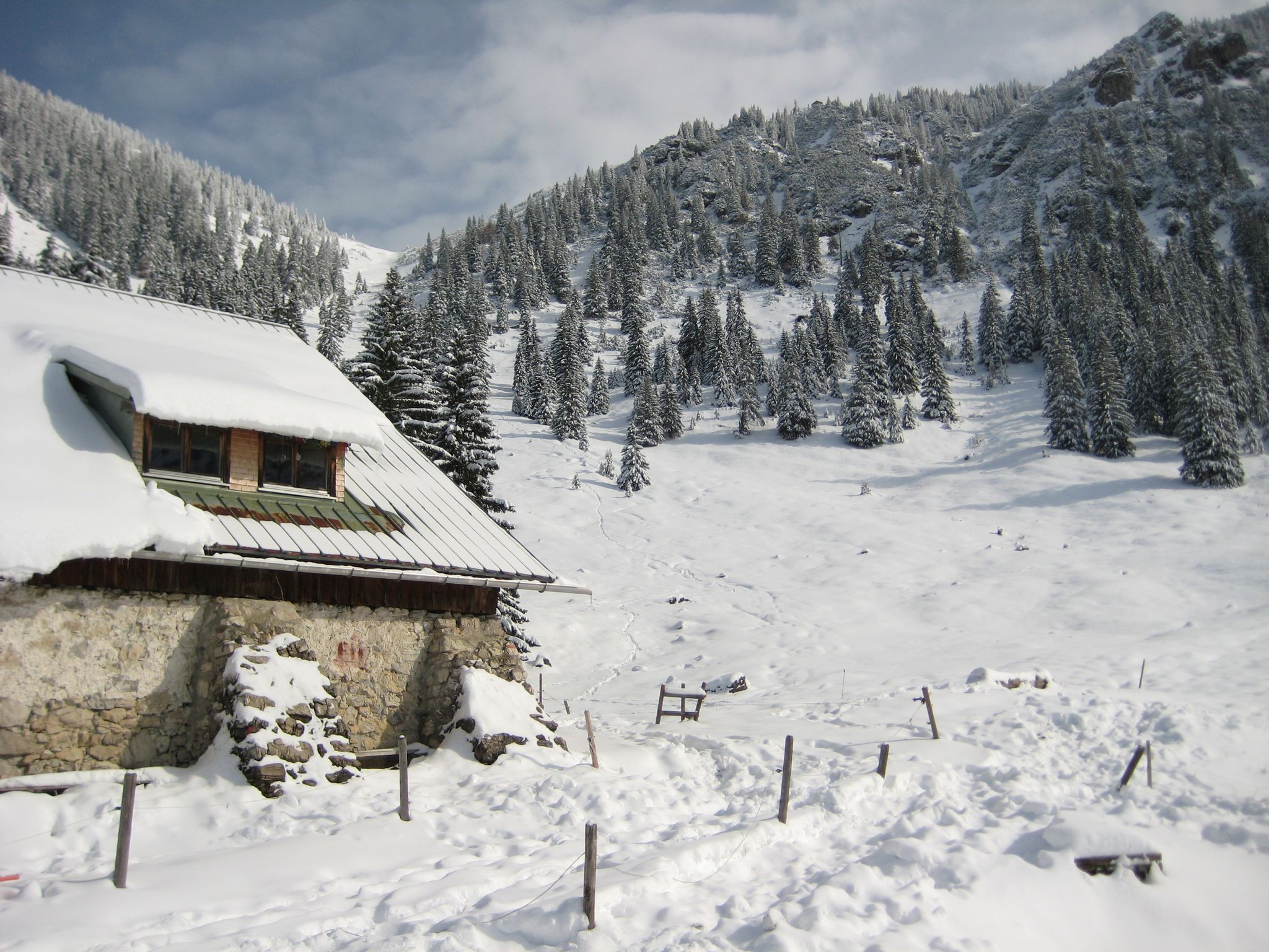
A nice tour even in winter. It's very quiet then 😊
0
0

From the tree trunk you have a great view of the suspension bridge (No. 2).
0
0

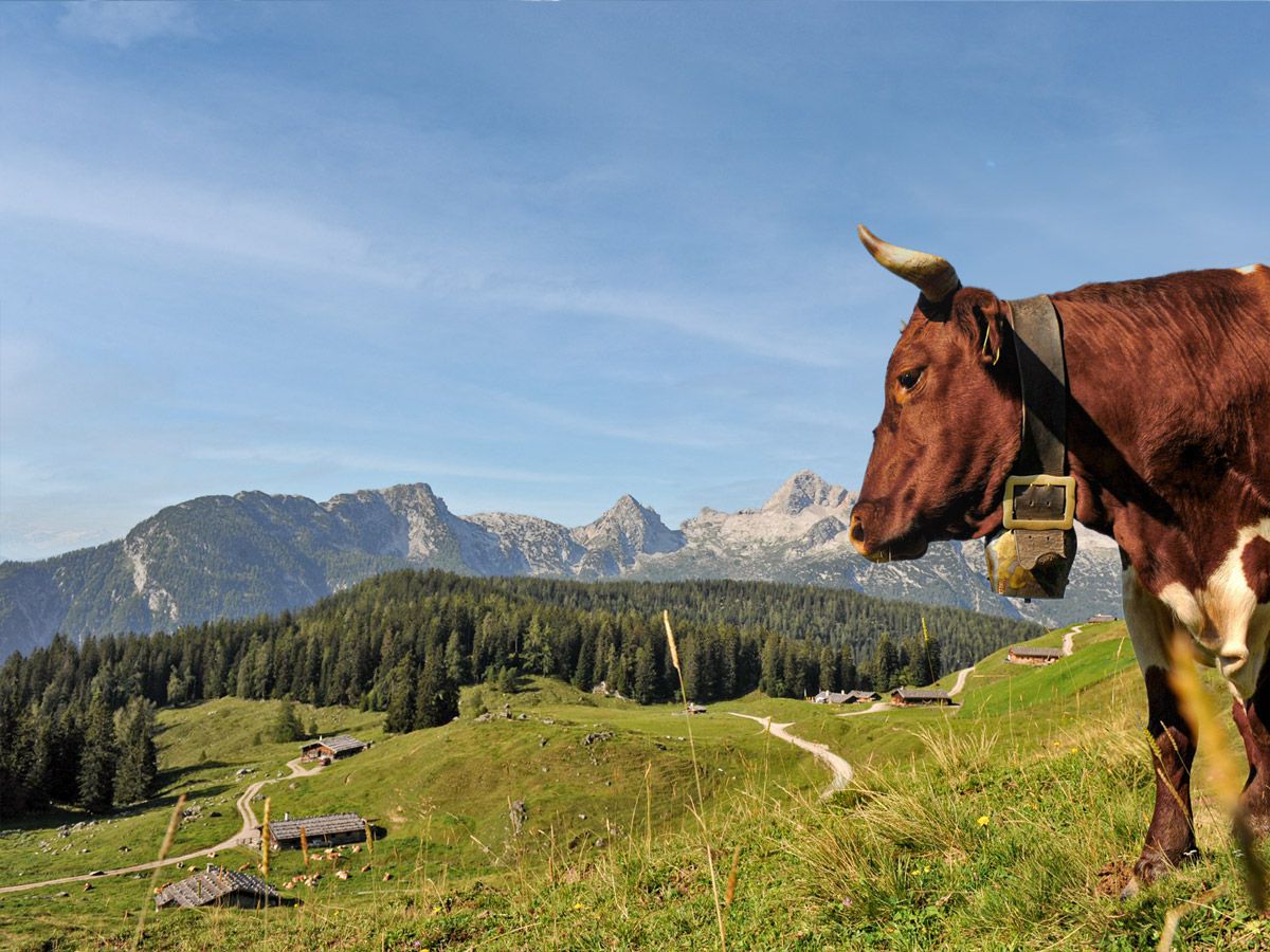
The Wuhrsteinalm is located southeast of the Geigelstein summit at an altitude of 1,145 meters, in the immediate vicinity of the mountain station of the Geigelsteinbahn, which has been closed since 2009. It is used for agricultural purposes and is grazing with alpine cattle in the summer. Four farms from Schleching jointly drive up to 100 young cattle to the Wuhrsteinalm. The Pletschacher family will once again operate a bar at the Grafen Kaser in 2025. Scattered throughout the alpine pasture grounds are various historic alpine huts, also known as Kaser in Upper Bavaria. The Grafenkaser (Wuhrstein 12) and Weitlechnerkaser (Wuhrstein 13) were built as stone buildings with flat gable roofs between 1853 and 1857. The Huberkaser (Wuhrstein 20) and the Rachlkaser are newer constructions. Wuhrsteinalm Owner: Gastro & Betrieb Geigelstein GmbH Wuhrstein 17 83259 Schleching Tel.: +49 (0) 8649 987 979 0 info@gastro-betrieb-geigelstein.de wuhrsteinalm.de The Wirtsalm, located at a slightly higher elevation, is a privately owned alpine pasture run by the Zaiser family in Schleching. The family fattens oxen and also brings young cattle from the Knoglerhof farm in Schleching to the pasture in the summer. The Knoglerhof is a full-time farm, managed according to Naturland guidelines and supplies its milk to the Berchtesgadener Land dairy. In addition to dairy farming, the farm also offers farm holidays and was named the most hospitable farm in Bavaria in 2024. Knoglerhof Thomas Pletschacher Katzbachweg 9 83259 Schleching Tel.: +49 (0) 8649 358 urlaub@knogler-bauer.de www.knogler-bauer.de Knoglerhof at Mountain Farmers' Milk bergbauernmilch.de/de/unsere-milch/landwirte-portrait/knogler-bauer.html
0
0
Frequently Asked Questions
How many bus-accessible hiking trails are available around Geigelstein?
There are nearly 650 hiking routes around Geigelstein that are accessible by bus. This includes a wide range of options, with over 240 easy routes, more than 320 moderate trails, and around 80 challenging hikes, ensuring something for every fitness level.
Are there any easy, family-friendly hikes accessible by bus around Geigelstein?
Yes, Geigelstein offers several easy routes perfect for families. For instance, the Entenloch Gorge – Eiben Gorge Viewpoint loop from Durchbruchstal der Tiroler Achen is an easy 2.8 km hike that provides scenic views without being too strenuous. Another option is the slightly longer Eiben Gorge Viewpoint – Entenloch Gorge loop from Durchbruchstal der Tiroler Achen, which is 3.5 km and also rated easy.
What kind of views can I expect on bus-accessible trails in the Geigelstein area?
From many trails, especially those leading higher up, you can expect breathtaking panoramic views. Geigelstein, known as the 'Chiemgau Flower Mountain,' offers expansive vistas stretching from Lake Chiemsee to the majestic Berchtesgaden Alps, Hohe Tauern, Loferer Steinberge, and the Wilder Kaiser. The Inn Valley and Karwendel Mountains are also often visible, providing truly unforgettable alpine scenery.
Are there any waterfalls or gorges accessible from bus stops in Geigelstein?
Yes, the region features beautiful natural water features. You can explore highlights like the Klausgraben gorge or discover the Totermannbach Waterfall and Waterfall in the Wirtsalmgraben. Some easy routes, like those around the Entenloch Gorge, are directly accessible and showcase these natural wonders.
Can I find circular hiking routes that start and end at a bus station?
Many of the routes in the Geigelstein area are designed as circular loops, making them ideal for public transport users. For example, the View from Wirtsalm – Chalets on Geigelstein loop from Schleching is a moderate 9.4 km circular route. Another option is the Hiking loop from Wildschutzgebiet Grattenbach, a moderate 4.5 km trail.
What are the most notable landmarks or viewpoints along bus-accessible trails?
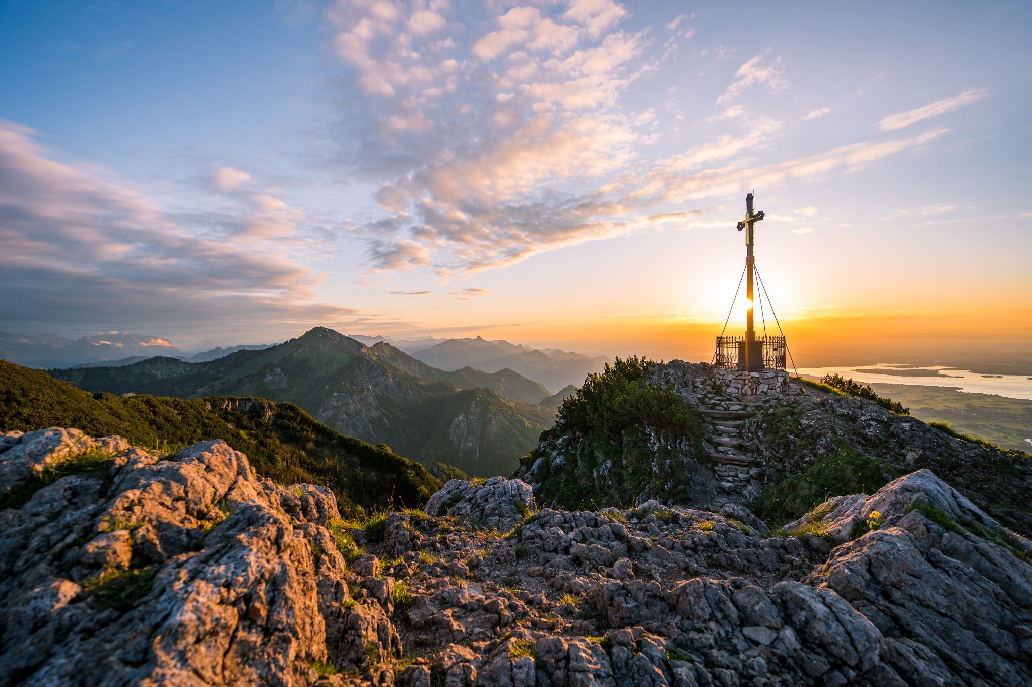
The most iconic landmark is the Summit cross of Geigelstein itself, offering a 360-degree panorama. Other notable peaks and viewpoints include the Rudersburg Summit and the Schachenberg summit cross and view of the Sachranger Valley. Many trails lead to these points, providing stunning vistas of the surrounding Alps.
Are there any challenging bus-accessible hikes for experienced hikers?
Absolutely. For experienced hikers seeking a challenge, there are around 80 difficult routes. A demanding option is the Summit cross of Geigelstein – Trail to Geigelstein loop from Wildschutzgebiet Grattenbach, a 14.5 km difficult hike with significant elevation gain, offering a rewarding experience and spectacular views.
What do other hikers say about the bus-accessible trails around Geigelstein?
The Geigelstein area is highly regarded by the komoot community, with an average rating of 4.6 out of 5 stars from over 44,000 reviews. Hikers frequently praise the diverse landscapes, the well-maintained trails, and the stunning panoramic views, especially from the higher elevations. The accessibility via public transport is also often highlighted as a major convenience.
Are there mountain huts or places to stop for refreshments on these trails?
Yes, the Geigelstein region is dotted with traditional alpine huts. The Priener Hut, at 1,410 meters, is well-known for its rustic charm and self-baked wood-fired bread. Other notable alm huts include Wuhrsteinalm, Ross Alm, Haidenholz Alm, and Schreckalm, many of which offer refreshments, local delicacies, and stunning views, providing perfect spots for a break during your hike.
What is the best time of year to hike around Geigelstein using public transport?
While Geigelstein is a year-round destination, the best time for hiking is typically from late spring to early autumn (May to October). During these months, the trails are generally clear of snow, and the 'Chiemgau Flower Mountain' lives up to its name with a rich alpine flora. Always check local weather and trail conditions before heading out, especially in shoulder seasons.
Is the Geigelstein area suitable for dog-friendly hikes from bus stations?
Geigelstein is a nature reserve, and while dogs are generally welcome on trails, it's crucial to keep them on a leash to protect the diverse wildlife and flora, especially the rare grouse species. Always check specific trail regulations, as some areas might have stricter rules. Many bus-accessible routes offer a great opportunity to explore with your canine companion responsibly.
Most popular routes around Geigelstein
Most popular attractions around Geigelstein

Get inspired with the komoot mobile app


Explore more
Browse the best Hikes in other regions.
