The best hikes from bus stations around the Maas
4.4
(40640)
196,721
hikers
3,344
hikes
Bus station hiking trails around the Maas traverse a diverse landscape shaped by the Maas (Meuse) River, featuring riverbanks, old river arms, and floodplains. The region includes varied topography, from the rolling hills of Southern Limburg to the long river dunes of National Park De Maasduinen. Hikers can explore a mix of forests, heathlands, and streams, with elevations generally remaining below 200 meters. This area offers a network of trails accessible by public transport, providing opportunities to experience its unique…
Last updated: May 16, 2026
4.6
(81)
291
hikers
17.4km
04:49
300m
300m
Hike the Vallée de l'Hermeton loop, a 10.8-mile adventurous route through an unspoiled valley with challenging, rope-assisted sections.
4.7
(234)
1,264
hikers
5.18km
01:25
80m
80m
Easy hike. Great for any fitness level. Easily-accessible paths. Suitable for all skill levels.

Sign up for free
4.5
(335)
1,052
hikers
Moderate hike. Good fitness required. Easily-accessible paths. Suitable for all skill levels.
4.8
(250)
1,438
hikers
19.3km
05:01
130m
130m
Hard hike. Very good fitness required. Easily-accessible paths. Suitable for all skill levels.
4.7
(279)
1,374
hikers
15.2km
04:10
240m
240m
Moderate hike. Good fitness required. Easily-accessible paths. Suitable for all skill levels.
Get access to more routes and recommendations from other explorers.
Sign up for free
Already have an account?
Our route recommendations are based on thousands of hikes, rides, and runs completed by other people on komoot.
Start today with a free account
Your next adventure awaits.
Login or Signup
Popular around Maas
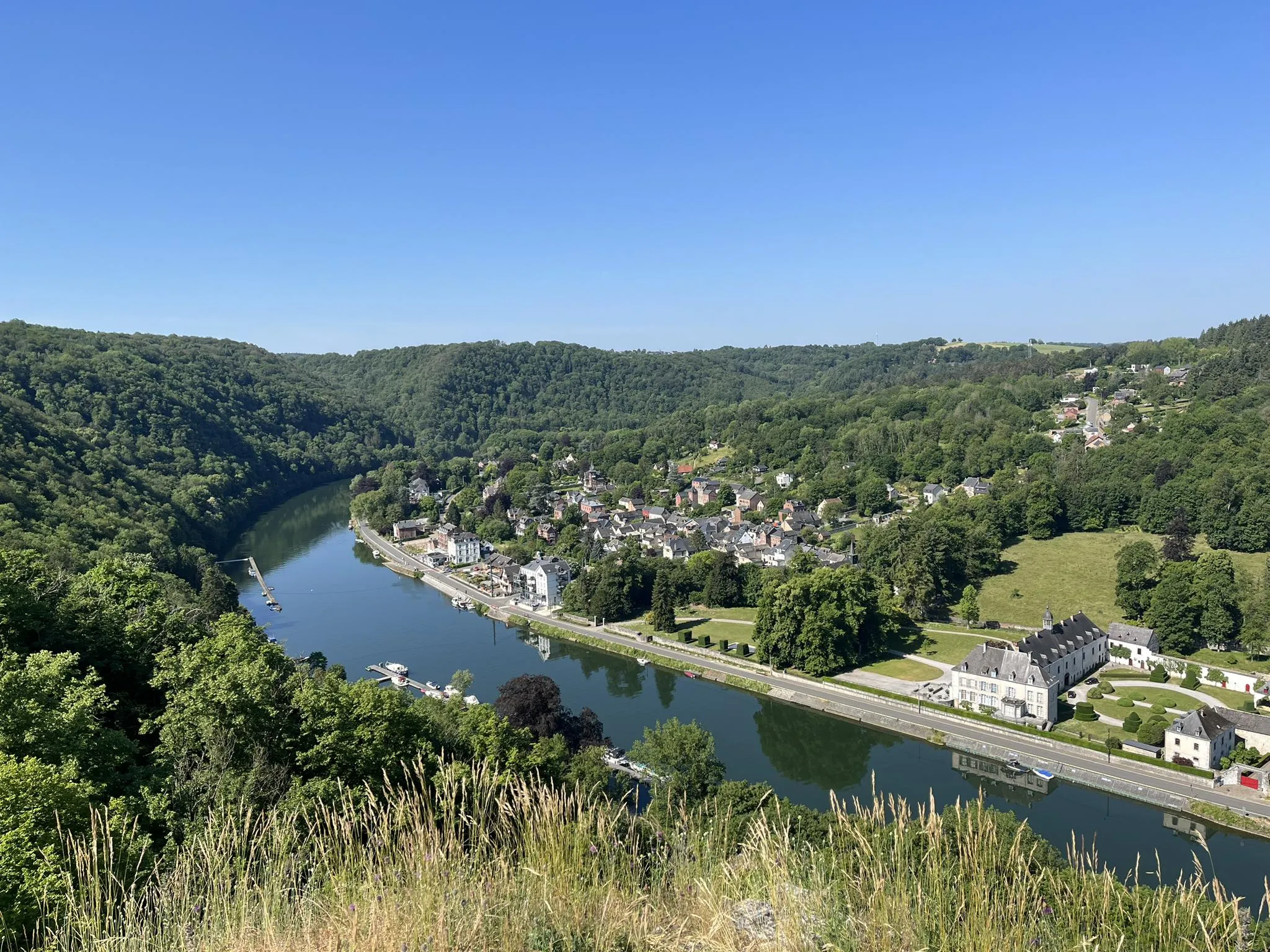
Sentier des abbayes trappistes part 1 – Between nature and gastronomy
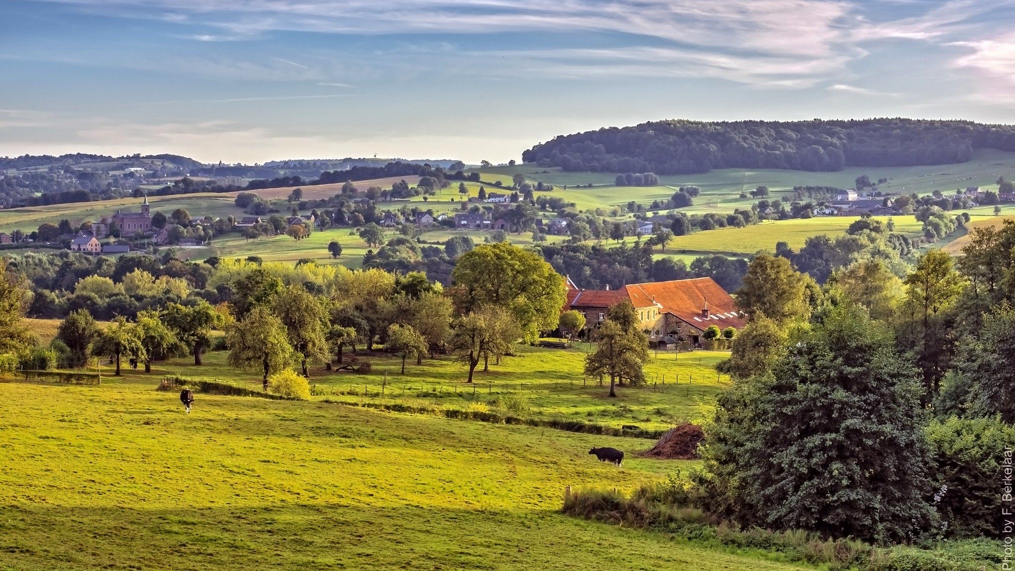
Pilgrim's Way part 2 — s-Hertogenbosch to Maastricht
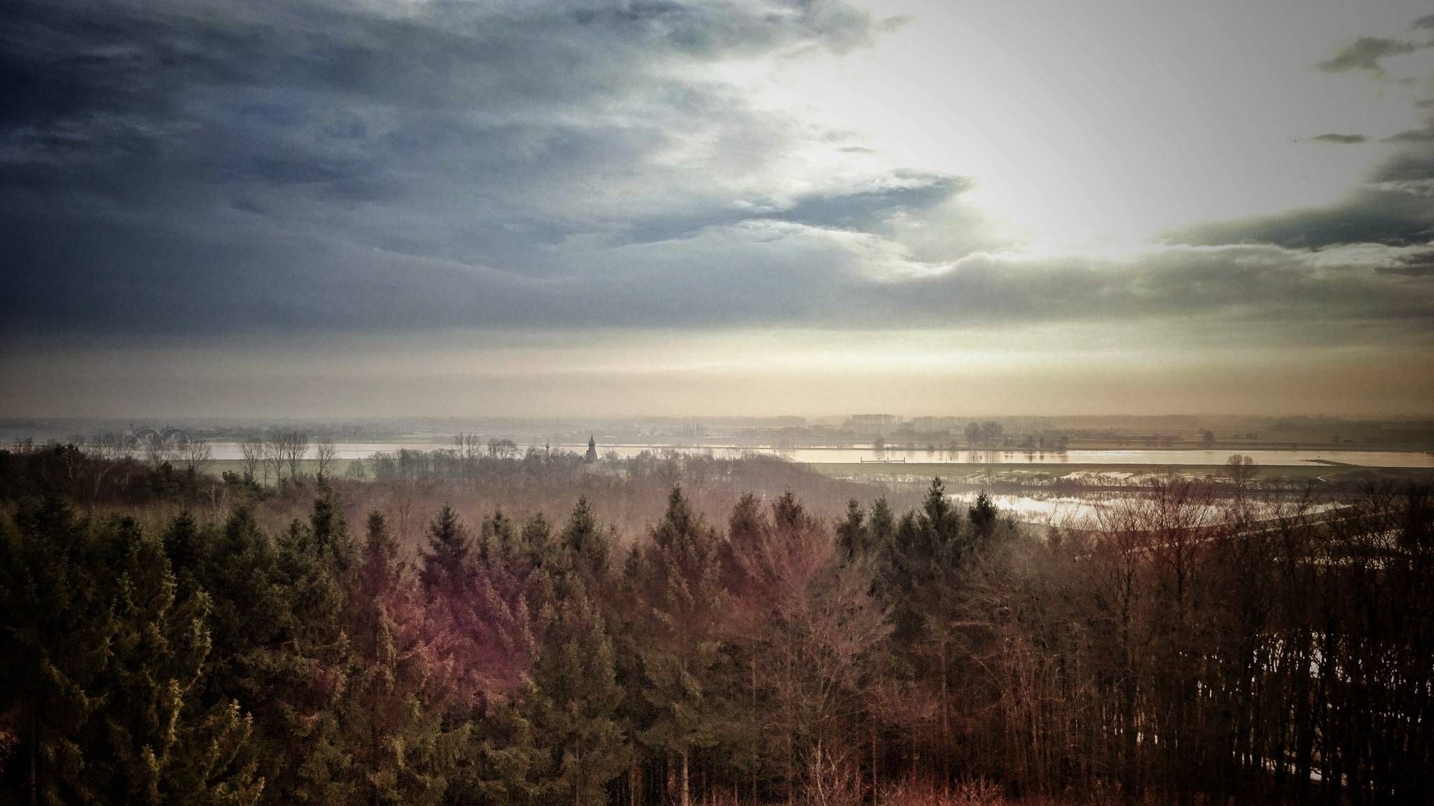
Maarten van Rossumpad – hiking from 's-Hertogenbosch to Steenwijk
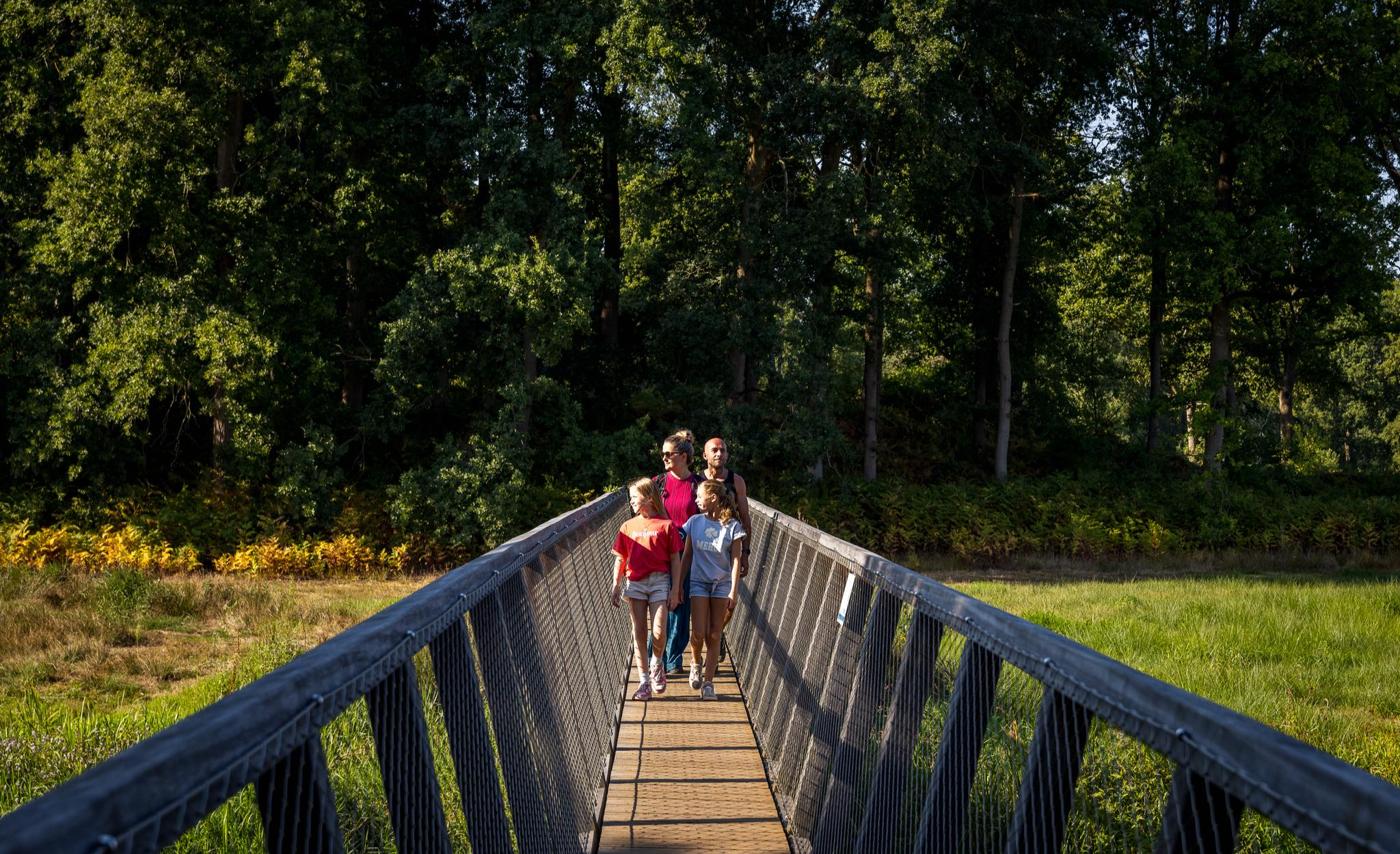
Flanders’ Finest Hiking Routes
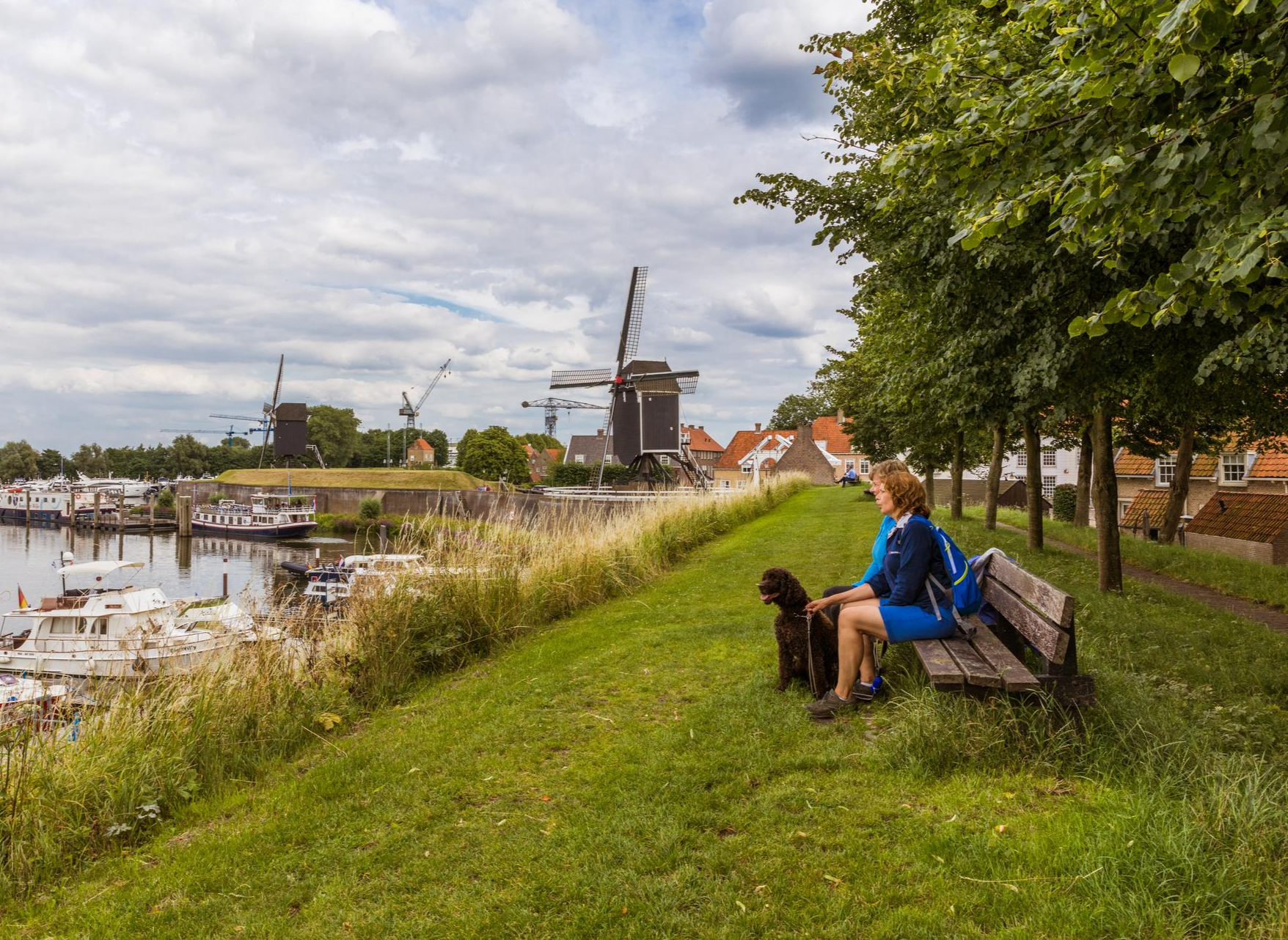
Hiking in Brabant – in Van Gogh’s footsteps in Southern Netherlands
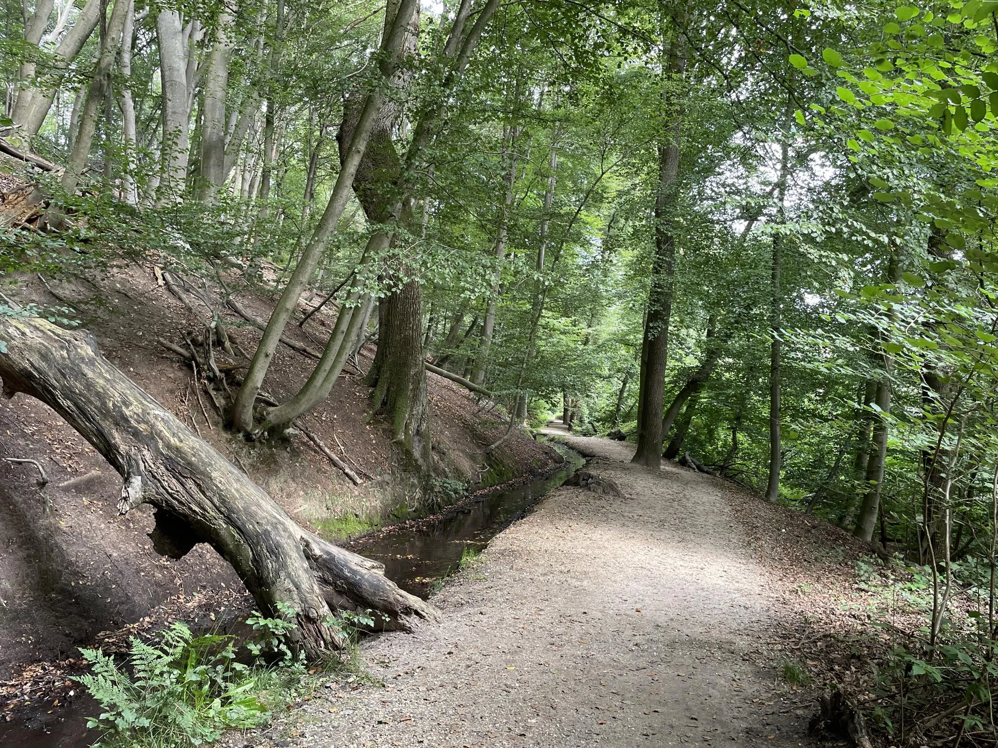
Blow away between forests and flood plains - Nijmegen regional trail
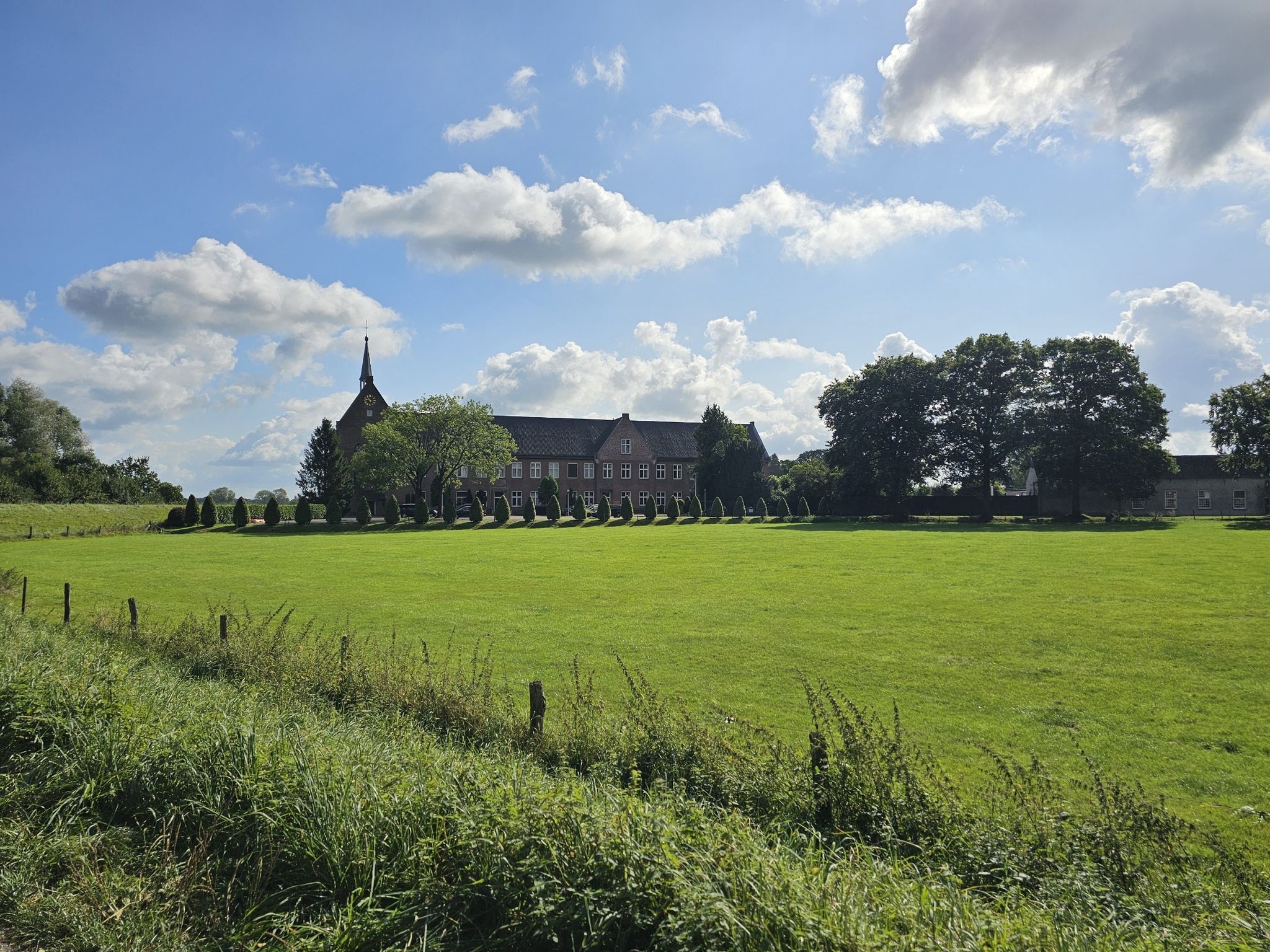
On foot through Brabant in eight days – Land van Cuijkpad (SP 14)
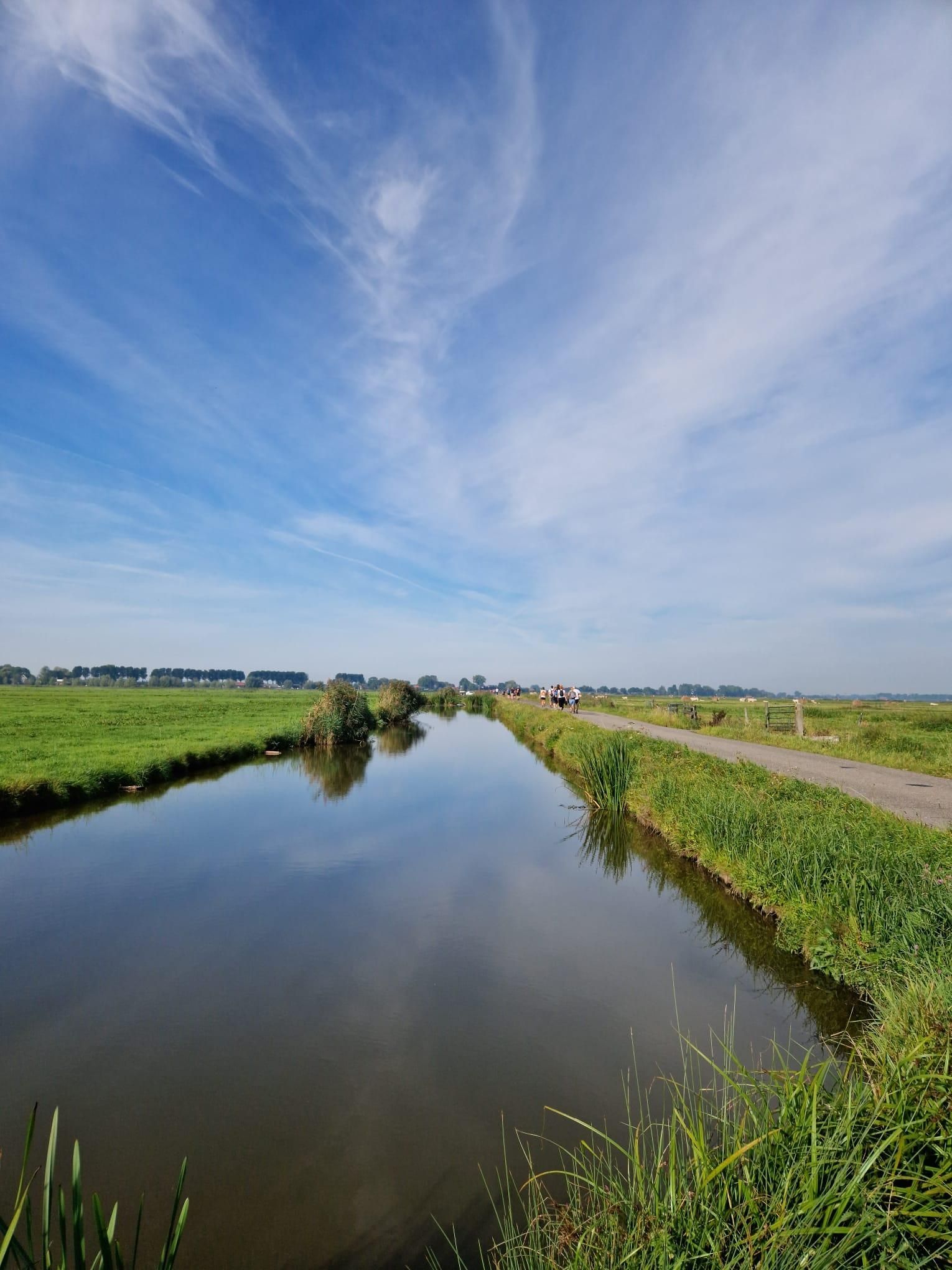
Below the waterline of the Sint-Elisabethsvloed – Biesboschpad
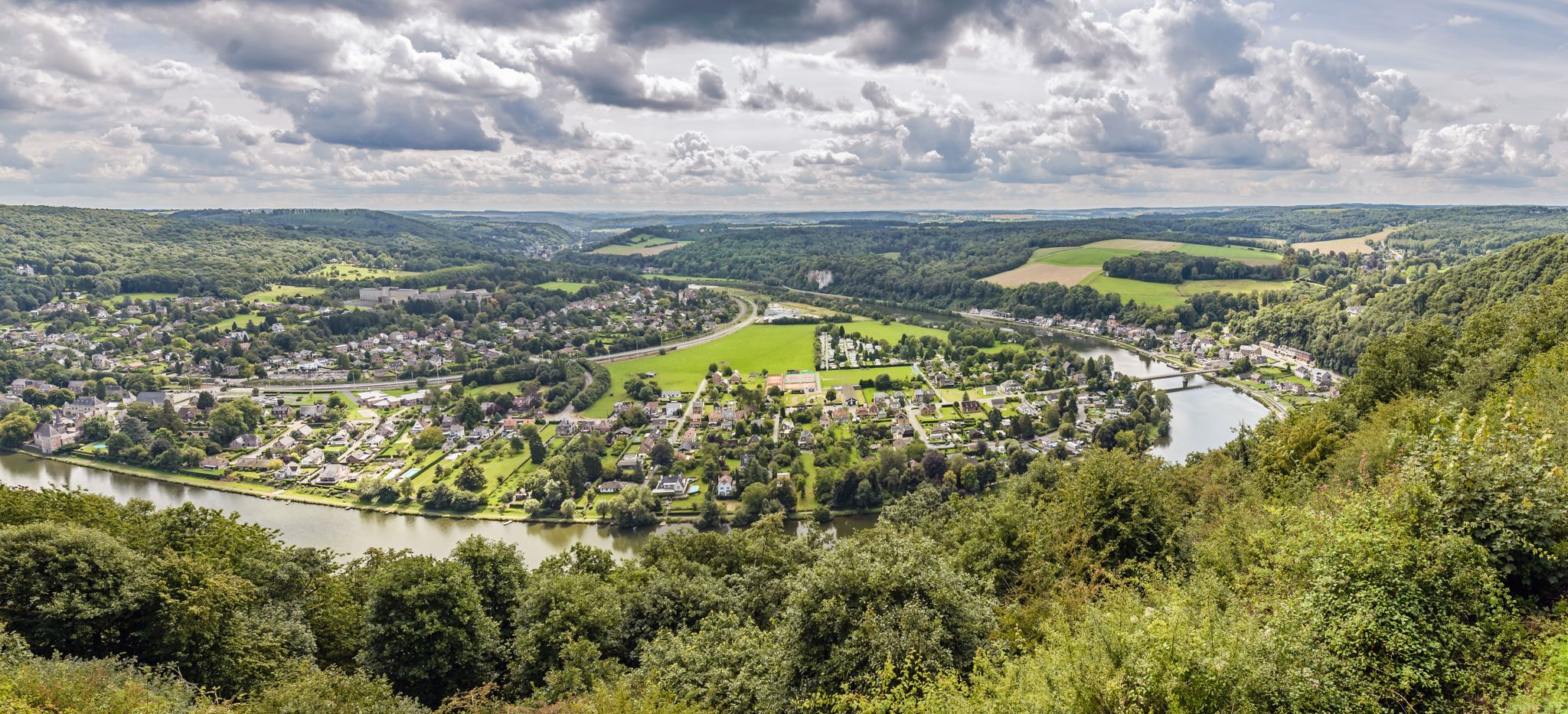
From station to station — hiking in the romantic Meuse Valley
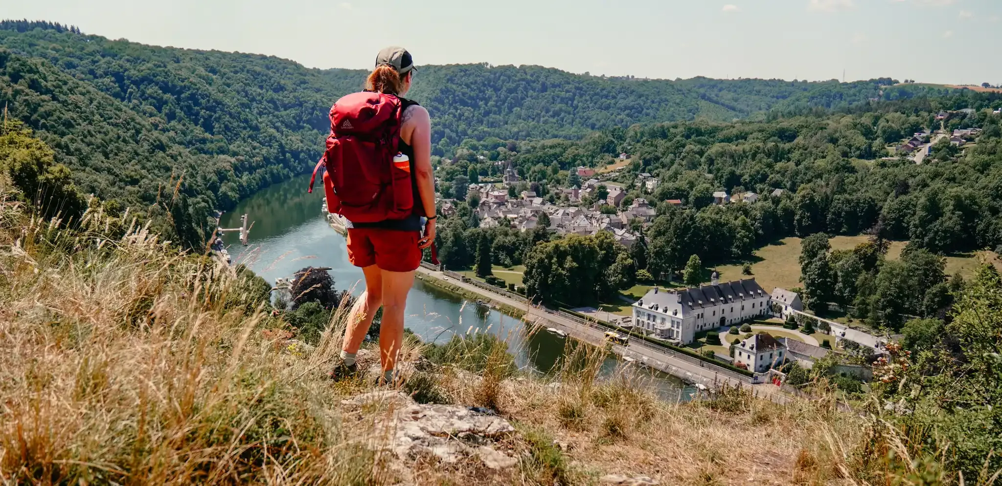
Meuse Valley – hiking in Wallonia between the Lesse and the Meuse
Other adventures around the Maas


Tips from the Community

A beautiful place. A visit is recommended
0
0

The best view of the former quarry can be had from the Skywalk.
1
0

Unfortunately not open to the public, the castle is very picturesquely situated in the valley. Less picturesque is the railway line, which the lord of the castle apparently could not prevent.
2
0
For some "a bridge too far", for others the longed for alternative to walking through the water.
1
0

Beautiful old-fashioned gate next to the cemetery.
2
0

In the middle of the forest two beautiful ponds between the trees
0
0

Beautiful view of the cliffs from the Lesse River. At their highest point, the cliffs rise 110 meters above the Lesse River and form a vantage point. From this vantage point, you have a beautiful view of the village of Chaleux, the railway bridge, and the Lesse River. The name "Aiguilles de Chaleux" translates as "Needles of Chaleux." The ascent and descent from this vantage point require good fitness and surefootedness.
4
0
The cliffs here rise high above the Lesse valley and form a vantage point. From this vantage point, you have a beautiful view of the village of Chaleux, the railway bridge, and the Lesse River. The name "Aiguilles de Chaleux" translates as "the Needles of Chaleux." The ascent and descent from this vantage point require good fitness and surefootedness.
3
0
Frequently Asked Questions
How many bus station hiking trails are available around the Maas?
The Maas region offers an extensive network of over 3,300 hiking trails accessible from bus stations. These routes cater to various preferences, from easy strolls to more challenging excursions, making it simple to explore the diverse landscapes of the RivierPark Maasvallei and surrounding areas.
Are there easy hiking trails accessible by bus around the Maas?
Yes, the Maas region has plenty of easy hiking options. Over 1,800 of the bus-accessible trails are rated as easy. A great example is the Fort Sint Pieter – ENCI Quarry Viewpoint loop from Maastricht, which offers a pleasant 5.4 km walk with minimal elevation gain, perfect for a relaxed outing.
Can I find circular hiking routes that start and end at bus stations in the Maas region?
Absolutely. Many trails in the Maas region are designed as circular routes, often referred to as 'ommetjes' or loop systems, allowing you to start and finish your hike at the same bus stop. This makes planning your public transport journey straightforward. For instance, the Stepping Stone Bridge – Konik horses at Molenplas loop from Ohé en Laak is a moderate 9.2 km circular route that showcases the region's natural beauty.
What kind of natural features and viewpoints can I expect on bus-accessible hikes?
The Maas region is rich in diverse natural features. You can expect to encounter the serene Maas River itself, ancient river arms, gravel beds, and floodplains. Highlights include the rolling hills of the Heuvelland, the terraced landscapes of National Park De Meinweg, and the long drifting dunes of National Park De Maasduinen. Many routes offer scenic viewpoints, such as those found on the View of Walzin Castle – View of Château de Walzin loop from Anseremme, providing stunning vistas of the river and historic sites.
Are there any waterfalls or interesting water features along the bus station hiking trails?
Yes, the region features several beautiful water-related highlights. You can explore areas with streams and cascades, particularly in the Belgian part of the Maas Valley. For example, the The Cascatelles Trail and the Waterfall at the Old Watermill are notable water features that can be incorporated into your hiking plans.
What are some interesting landmarks or places to explore near bus-accessible routes?
Beyond the natural beauty, the Maas region offers charming villages and historical sites. You can visit places like Thorn, the little white town, known for its unique architecture, or explore the Roermond Market Square. The region also has unique river crossings like the Maas ferry between Kessel and Beesel, which can add an adventurous element to your hike.
Are the bus station hiking trails in the Maas region suitable for families?
Many of the bus-accessible trails are family-friendly, especially the easier and shorter loops. The diverse landscapes, including forests, heathlands, and riverbanks, provide engaging environments for children. Look for routes with minimal elevation and clear paths, often found near charming villages or nature reserves like De Gouden Ham, which offer varied scenery for all ages.
Can I bring my dog on hikes accessible by bus in the Maas Valley?
Generally, dogs are welcome on many hiking trails in the Maas Valley, but it's always advisable to check local regulations for specific nature reserves or national parks, as some areas may require dogs to be on a leash or restrict access. The region's open landscapes and river paths are often ideal for walks with your canine companion.
Are there places to eat or drink near bus stops along the hiking routes?
Yes, many of the charming Maas villages, which often serve as bus stops and starting points for hikes, offer cafes, pubs, and restaurants. These provide excellent opportunities to refuel before or after your hike. Along popular routes, you might also find picnic areas and even cozy huts. Water taps are available in several Maas villages for refilling water bottles.
What is the best time of year to hike the bus-accessible trails in the Maas region?
The Maas region is beautiful year-round. Spring brings blooming wildflowers, while autumn offers stunning foliage. Summer is great for longer days, and even winter can be magical with crisp air and unique scenery. However, after heavy rainfall, some floodplains might be wet; the region offers a 'dry feet tool' to check for flooded areas and adapted signage for alternative routes.
What do other hikers enjoy most about hiking in the Maas region?
The Maas region is highly rated by the komoot community, with an average score of 4.39 stars. Reviewers often praise the diverse and well-maintained trail networks, the serene river landscapes, the charming villages, and the unique cross-border hiking experience. The accessibility via public transport is also frequently highlighted as a major convenience.
Most popular routes around the Maas
Most popular attractions around the Maas

Get inspired with the komoot mobile app


Explore more
Browse the best Hikes in other regions.
