The best hikes from bus stations around the Po
4.4
(3443)
24,171
hikers
286
hikes
Bus station hiking trails around the Po River traverse a diverse landscape, from the high peaks of the Cottian Alps where the river originates, through fertile plains, to the expansive wetlands of the Po Delta. The region features a mix of terrains, including alpine views, riverbank paths, and coastal ecosystems. Hikers can explore areas with significant elevation gains in the upper basin or opt for gentler walks along the river's course and through the delta's natural reserves.
Best bus station…
Last updated: July 12, 2026
4.5
(25)
91
hikers
8.65km
02:15
50m
50m
Embark on the Corona di Delizie: Turin City and River Po Loop, a moderate hike spanning 5.4 miles (8.6 km) with a gentle elevation gain of 180 feet (55 metres).…
4.6
(22)
70
hikers
11.3km
03:49
470m
470m
Embark on a moderate hiking adventure along Trail 010, a 7.0-mile (11.3 km) route that guides you through the serene Turin hills. This trail offers a varied experience, from peaceful…

Sign up for free
3.8
(4)
13
hikers
14.1km
03:33
20m
20m
The Siccomario Loop offers a moderate hiking experience, covering 8.7 miles (14.1 km) with a gentle elevation gain of just 60 feet (18 metres). You can expect to complete this…
4.8
(4)
11
hikers
10.2km
03:16
400m
400m
Embark on a moderate hike along the Sentiero della Collina Torinese, a 6.3-mile (10.2 km) route that takes about 3 hours and 15 minutes to complete. You will gain 1298…
2
hikers
11.3km
02:53
30m
30m
Hike the moderate 7.0-mile Anello di Vaccarizza wetlands loop from San Leonardo, exploring diverse landscapes and the Boschi di Vaccarizza r
Get access to more routes and recommendations from other explorers.
Sign up for free
Already have an account?
Our route recommendations are based on thousands of hikes, rides, and runs completed by other people on komoot.
Start today with a free account
Your next adventure awaits.
Login or Signup
Popular around Po
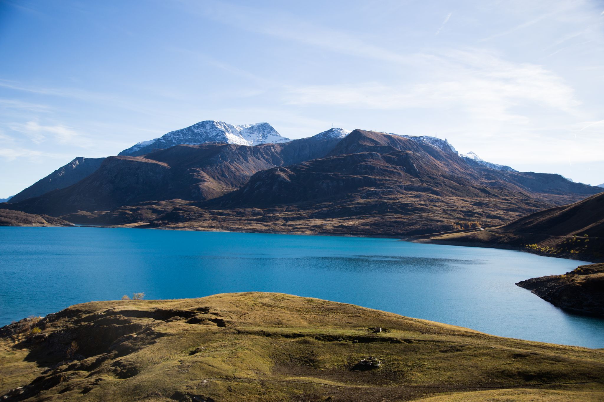
Historic and spiritual trails in the province of Torino
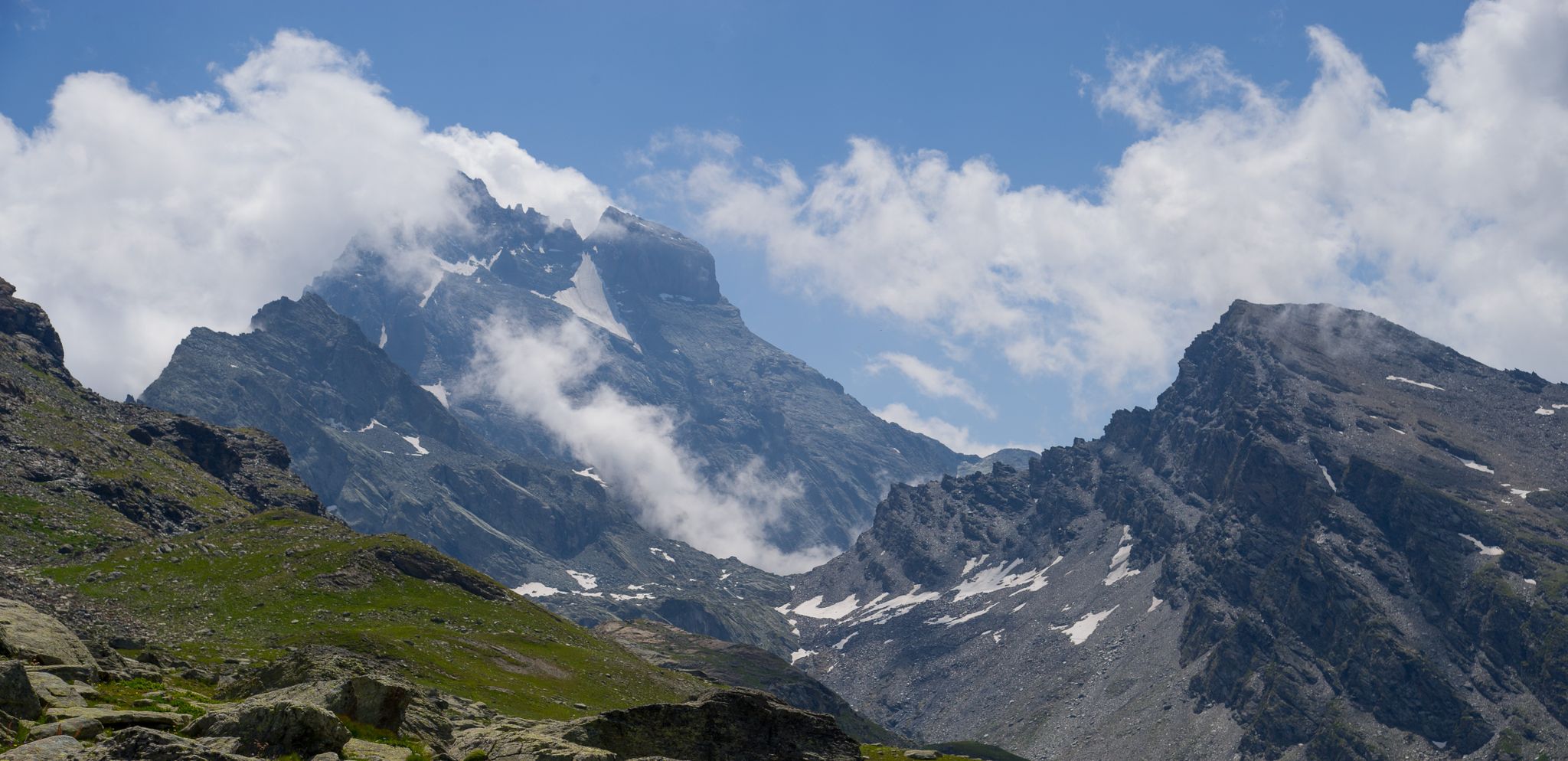
Tour di Viso from Pian del Re – Three days around the Stone King
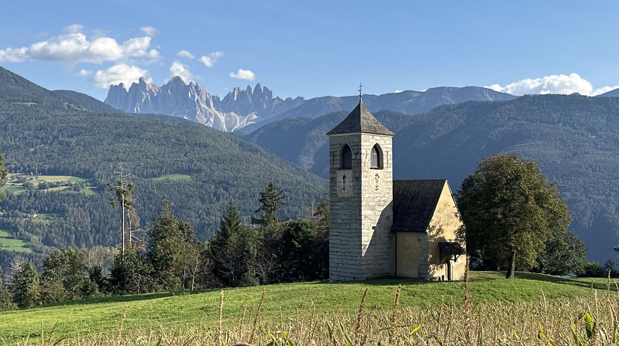
Via Romea Germanica – History, nature and spirituality
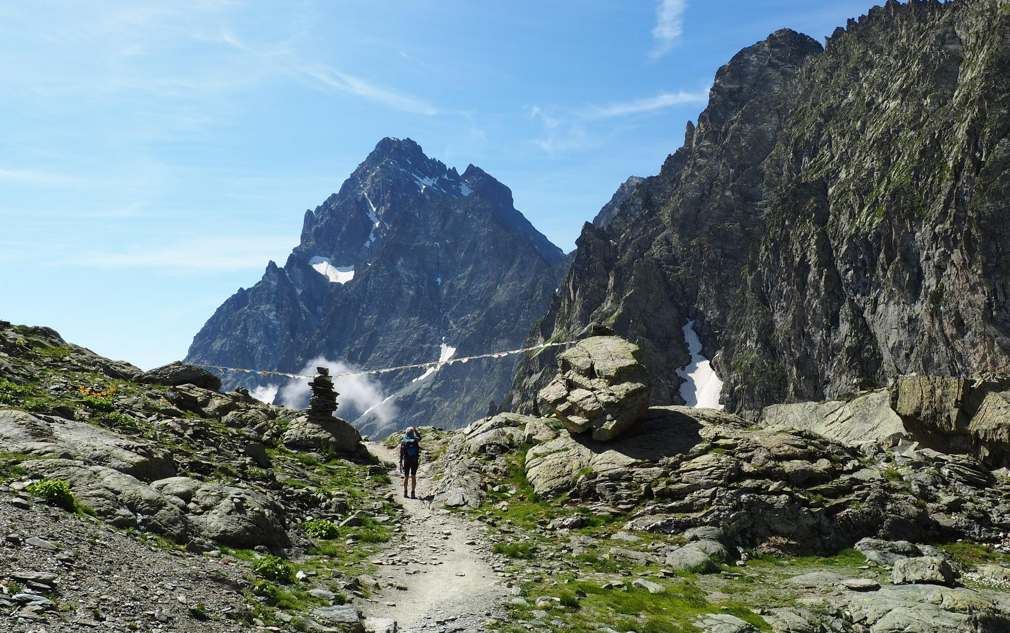
On the trails of the Stone King – trekking among the huts of Monviso
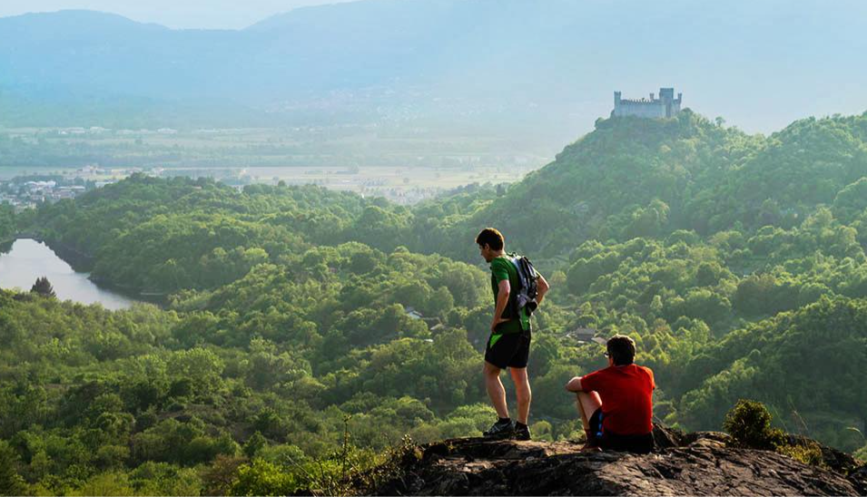
Car Free Piedmont – hiking face to face with nature
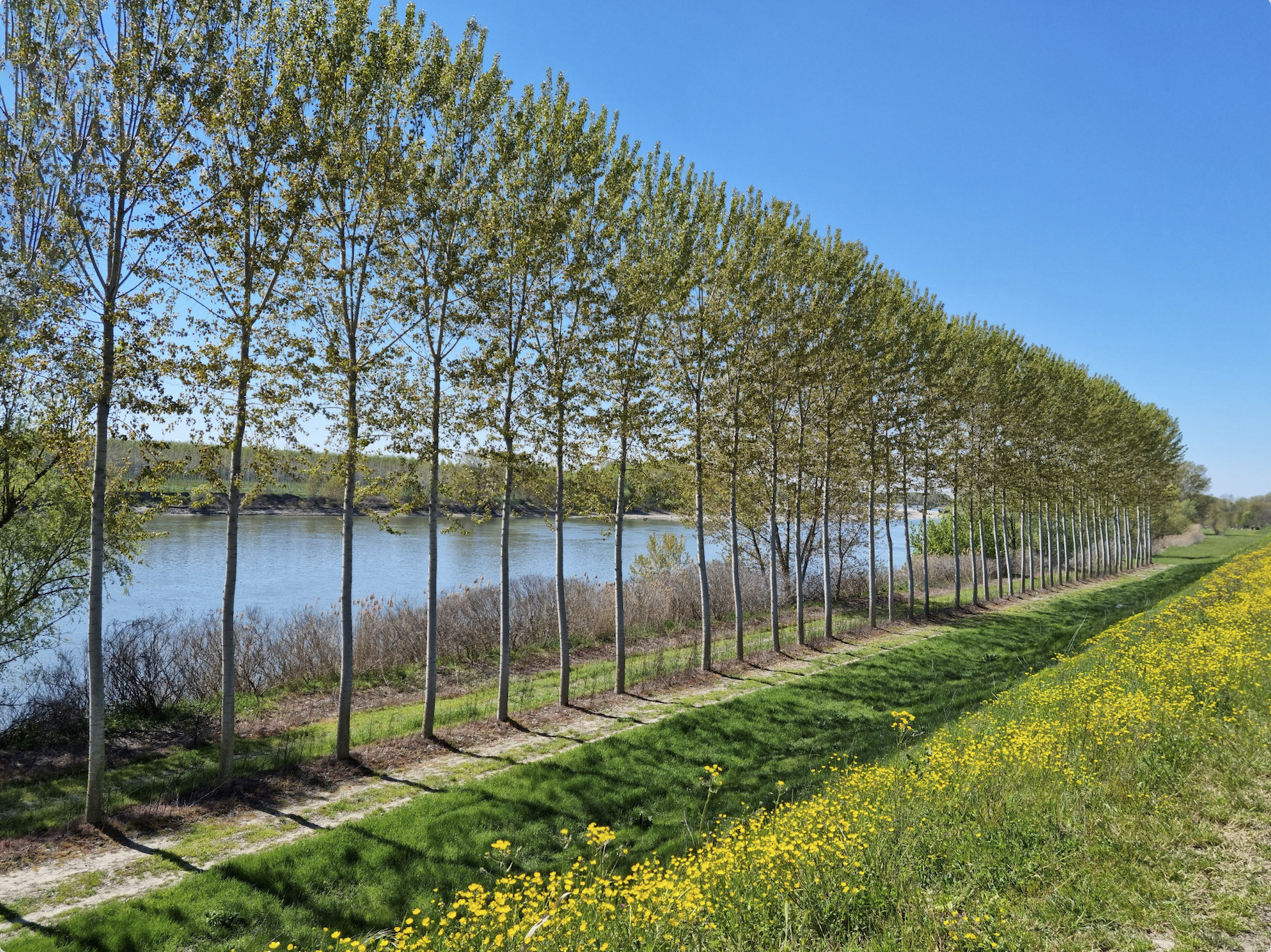
In the kingdom of the English oak – Italy’s CamminaForeste in Lombardy part 1
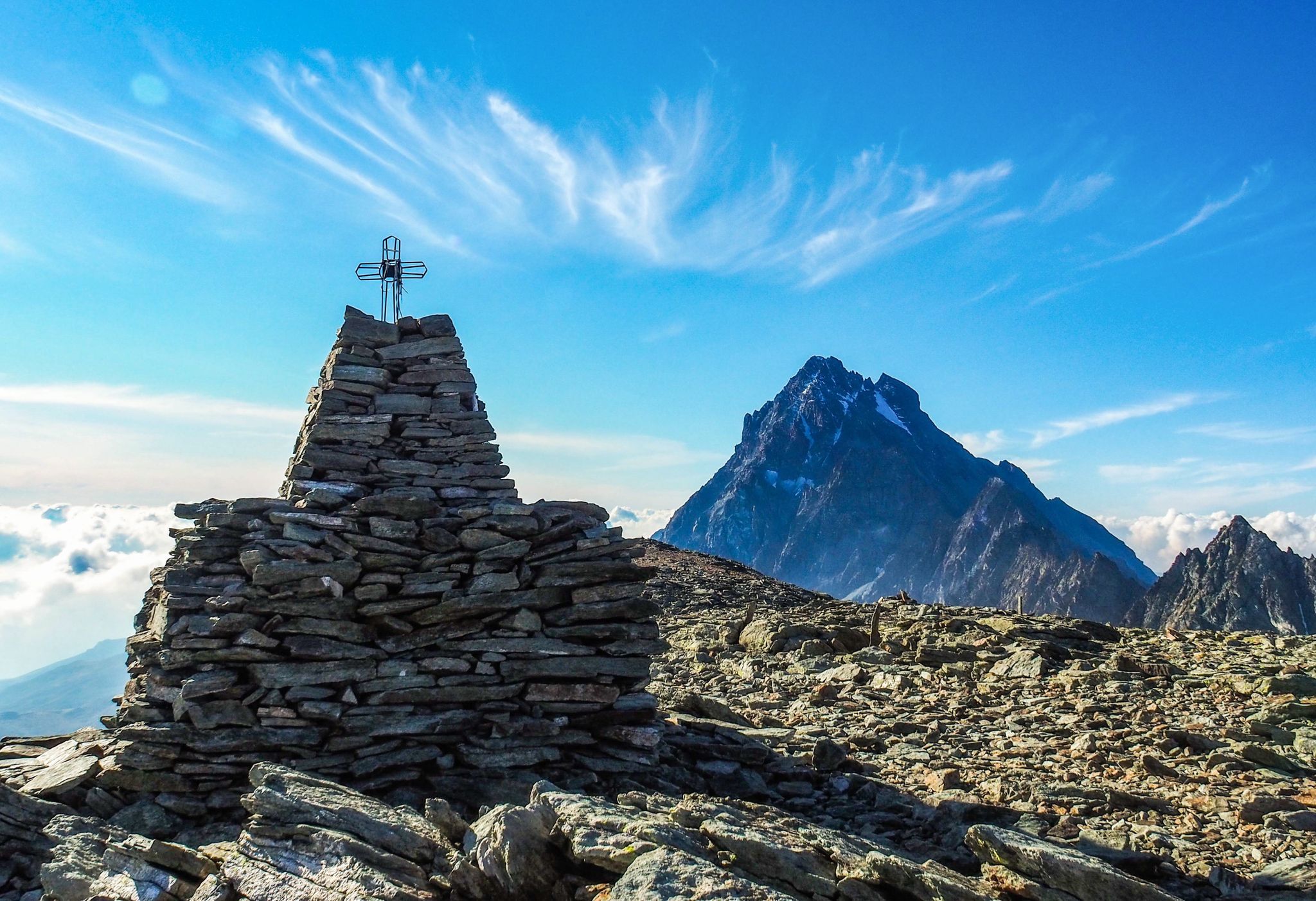
Where birds of prey swoop – 8 peaks over 3,000 metres in Monviso
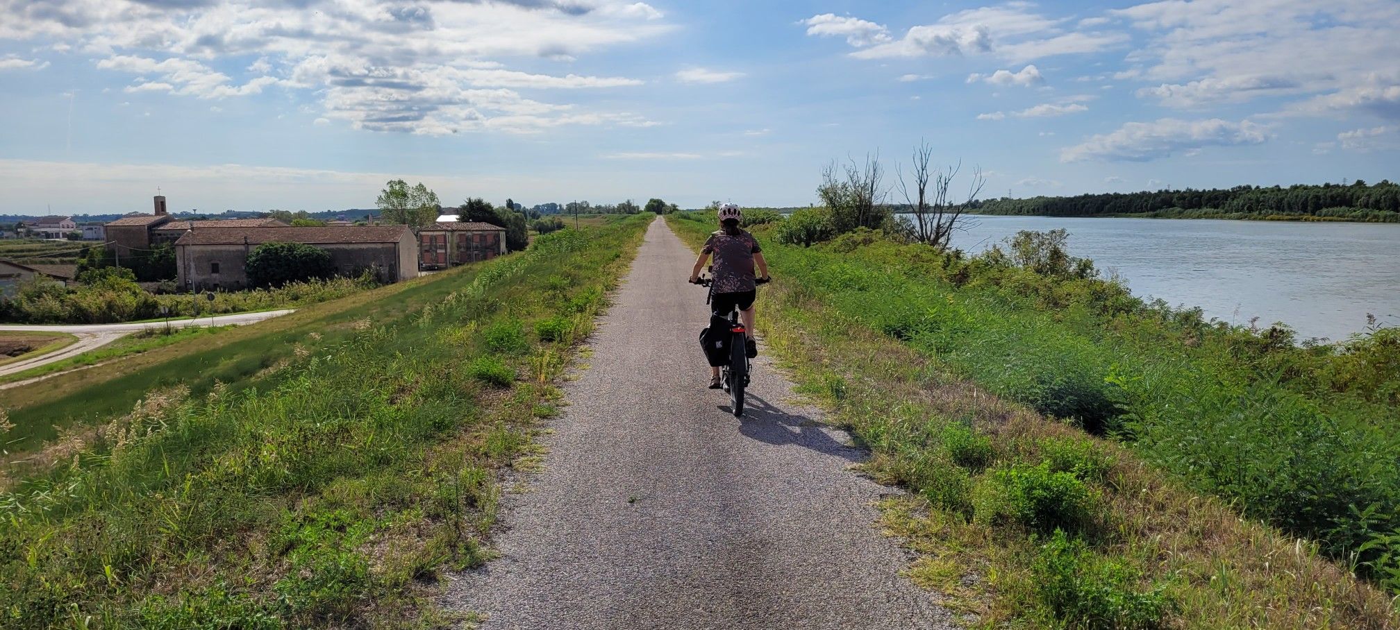
Ciclovie del Po — An all-round experience along Italy's longest river

The Komoot Torino-Nice Rally
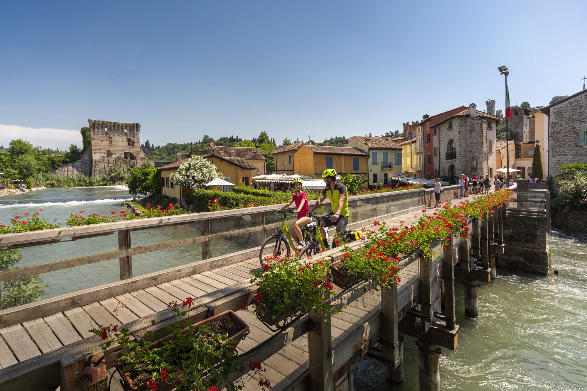
Explore Veneto at a slow pace – day trips by bike
Other adventures around the Po


Tips from the Community

Currently without water
0
0

The original name is "Passerella di Italia '61" because it was built in 1961, on the occasion of the "Italia '61" celebrations for the first centenary of the Unification of Italy, to allow visitors to cross the Po River between corso Unità d'Italia and corso Moncalieri towards the Cavoretto park.
0
0
Connecting path between trails 11 and 12, generally easily accessible.
0
0


Piazza San Carlo, dedicated to Saint Charles Borromeo since 1618, is undoubtedly one of the most beautiful and important squares in the city of Turin, so much so that it is often the setting for concerts, demonstrations, electoral rallies and various social and cultural events, as well as celebrations of the victories of the Juventus Turin football team.
6
0

Located in Turin's Piazza Castello, this equestrian monument, erected in 1923, commemorates the Italian cavalrymen of World War I. The bronze sculpture by Pietro Canonica depicts a cavalryman on horseback with a banner and rifle. The monument has stood in its current location next to the Palazzo Madama since 1937.
0
0

The "Turin Marathon" cycle/pedestrian bridge connects Vallere Park to Fioccardo Park. Cycle paths on both banks (construction permitting) allow you to plan and complete beautiful loops along both banks of the Po. Stunning views both upstream (the confluence of the Sangone River) and downstream (the city in the background).
0
0

The Victory Lighthouse, also known as the Maddalena Lighthouse, is a colossal monument dedicated to the Winged Victory, located at the top of the Memorial Park near the Maddalena Hill. The optics of the lighthouse are located in the torch held in the hands of the imposing bronze statue, a work by the Turinese sculptor Edoardo Rubino.
3
0
Frequently Asked Questions
How many bus station hiking trails are available in the Po region?
There are over 200 hiking trails in the Po region that are easily accessible from bus stations, offering a wide variety of experiences for all skill levels. Specifically, you'll find 118 easy routes, 89 moderate routes, and 9 more challenging options.
Are there easy hiking trails accessible by bus in the Po region?
Yes, the Po region offers many easy trails perfect for a relaxed day out, often found along the valley floors or in the delta area. These routes are ideal for beginners or those looking for a gentle stroll. For example, the Corona di Delizie: Turin City and River Po Loop offers a moderate, relatively flat experience through urban green spaces.
Can I find challenging hikes accessible from bus stations in the Po region?
While many bus-accessible trails are moderate, there are indeed options for more challenging hikes, particularly as you venture closer to the Alpine foothills where the Po originates. These routes often feature significant elevation gains and offer stunning mountain views. The region's mountainous upper Po basin, near the Cottian Alps and Monviso, provides such demanding routes.
Are there circular routes that start and end at bus stations?
Yes, many trails in the Po region are designed as circular routes, making them convenient for public transport users. For instance, the Siccomario Loop and the Vaccarizza Loop Trail are excellent examples of moderate circular hikes that allow you to return to your starting point without needing additional transport.
What kind of terrain can I expect on bus-accessible trails near the Po River?
The Po River region offers incredibly diverse terrain. Near its source in the Cottian Alps, you'll find alpine landscapes with significant elevation changes. As the river flows through the valley, trails often follow fertile plains and riverbanks, offering gentler, flatter paths. Towards the Adriatic Sea, the Po Delta features unique wetlands, pine forests, and dunes, ideal for easy, scenic walks.
Are there family-friendly hiking trails accessible by bus?
Absolutely. The Po River region has numerous trails suitable for families, especially those along the valley floors and in the Po Delta. These routes are typically less strenuous and offer opportunities to enjoy nature together. Many mountain towns like Crissolo and Ostana also serve as excellent starting points for family-friendly excursions.
What natural features or landmarks can I see along bus-accessible routes?
The Po region is rich in natural beauty. Depending on the trail, you might encounter stunning lakes like Lake Fiorenza and Lake Chiaretto in the alpine areas. Further downstream, you can explore the ecological significance of the Po Delta Regional Park with its wetlands and diverse birdlife, or the tranquil Lanca di San Michele and Bosco del Gerbasso Nature Reserve.
What do other hikers enjoy most about hiking in the Po region?
The Po region is highly rated by the komoot community, with an average score of 4.39 stars. Reviewers often praise the diverse landscapes, from the majestic Alpine views to the serene river plains and the unique Po Delta. The accessibility of many trails by public transport is also frequently highlighted as a major benefit, allowing for varied adventures without a car.
Are there any trails near bus stations that offer historical or cultural points of interest?
Yes, some routes blend natural beauty with historical insights. For example, the Trail 010 to Victory Lighthouse (Colle della Maddalena) and the Sentiero della Collina Torinese offer views of historical sites and green spaces around Turin, providing a mix of urban exploration and nature.
What is the best time of year for hiking near Po bus stations?
The best time to hike in the Po region largely depends on the specific area you plan to visit. Spring and autumn are generally ideal for the river plains and delta, offering pleasant temperatures and vibrant colors. For the higher alpine trails near the Po's source, summer is preferable when the snow has melted and mountain passes are clear. Winter can be beautiful for lower-altitude walks, but higher routes may require specialized gear.
Are dogs allowed on bus-accessible trails in the Po region?
Generally, dogs are welcome on many trails in the Po region, especially in natural parks and along river paths, provided they are kept on a leash. However, it's always advisable to check specific park regulations or local signage, as some protected areas or public transport services might have restrictions. Always ensure you clean up after your pet.
Most popular routes around the Po
Most popular attractions around the Po

Get inspired with the komoot mobile app


Explore more
Browse the best Hikes in other regions.
