The best hikes from bus stations around the Adige
4.5
(50197)
245,598
hikers
1,755
hikes
Bus station hiking trails around the Adige offer access to a diverse landscape characterized by the dramatic limestone peaks of the Dolomites, extensive vineyards, and lush alpine meadows. The region is shaped by the Adige River, which carves through valleys, and features unique geological formations like the Earth Pyramids and ancient irrigation channels known as Waalwege. This area provides a variety of terrains, from gentle valley paths to more challenging mountain ascents.
Best bus station hiking trails around the Adige
…Last updated: June 28, 2026
4.8
(716)
2,781
hikers
8.15km
03:01
290m
300m
Moderate hike. Good fitness required. Mostly accessible paths. Sure-footedness required.
4.7
(328)
1,283
hikers
8.41km
02:52
250m
250m
Moderate hike. Good fitness required. Mostly accessible paths. Sure-footedness required.

Sign up for free
4.9
(678)
2,411
hikers
12.4km
03:57
340m
340m
Moderate hike. Good fitness required. Mostly accessible paths. Sure-footedness required.
4.8
(355)
1,738
hikers
Moderate hike. Good fitness required. Easily-accessible paths. Suitable for all skill levels.
4.9
(875)
3,498
hikers
8.24km
03:53
580m
580m
Hard hike. Good fitness required. Sure-footedness, sturdy shoes and alpine experience required.
Get access to more routes and recommendations from other explorers.
Sign up for free
Already have an account?
Our route recommendations are based on thousands of hikes, rides, and runs completed by other people on komoot.
Start today with a free account
Your next adventure awaits.
Login or Signup
Popular around Adige

L1 from Garmisch to Brescia – Far from the classic Alpine crossings
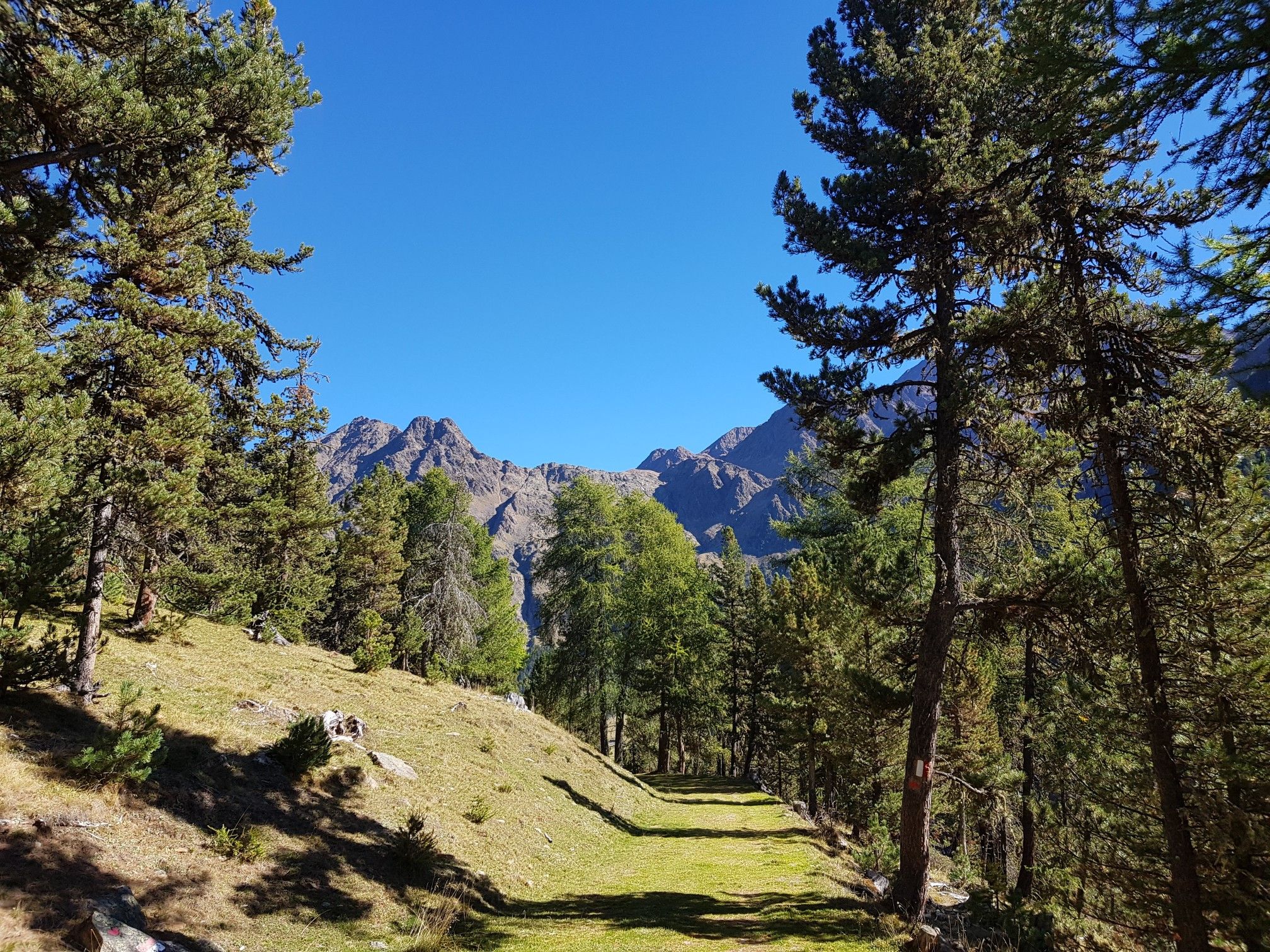
Vinschger Höhenweg – hiking South Tyrol's Sonnenberg mountain
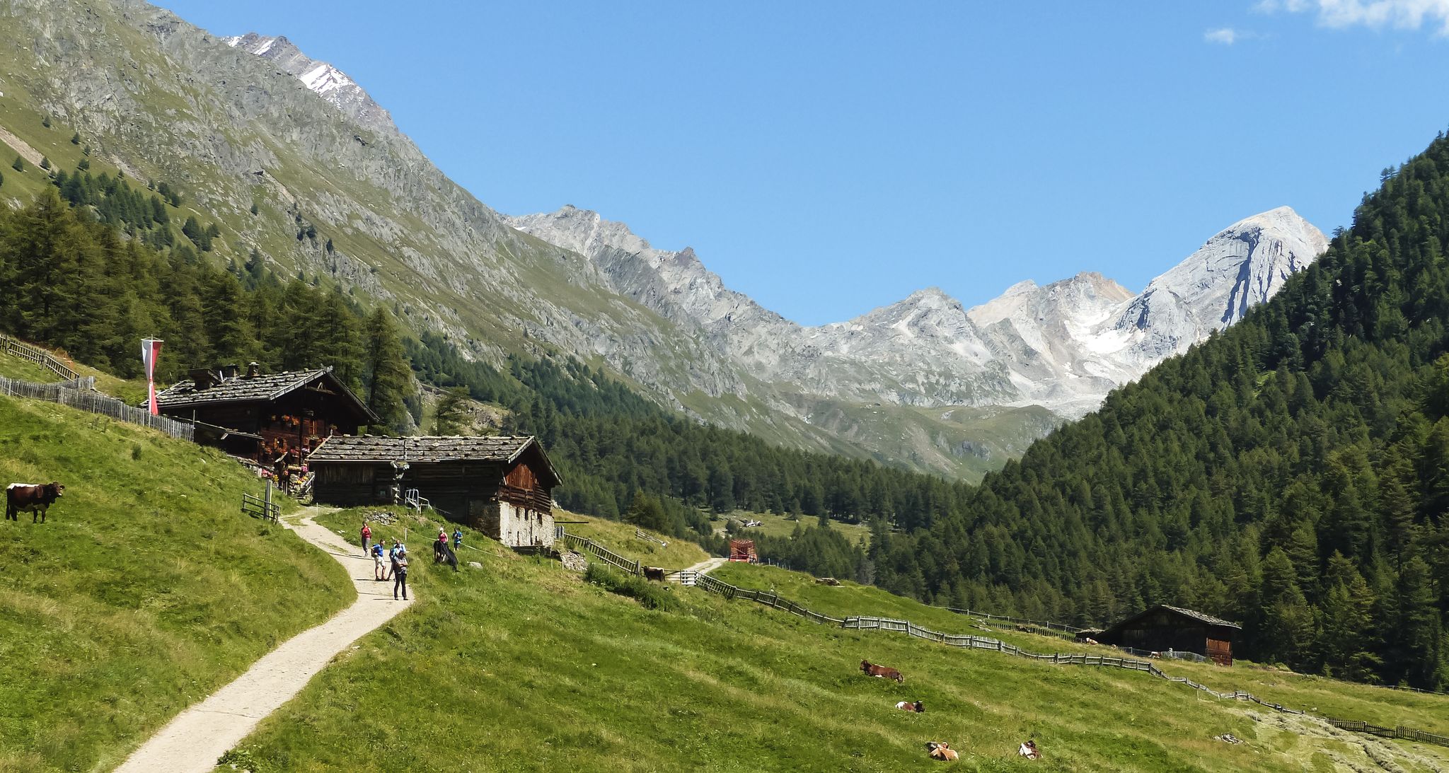
Meraner Höhenweg — in 8 stages through sunny South Tyrol

The Path of Peace – journey into Trentino's history
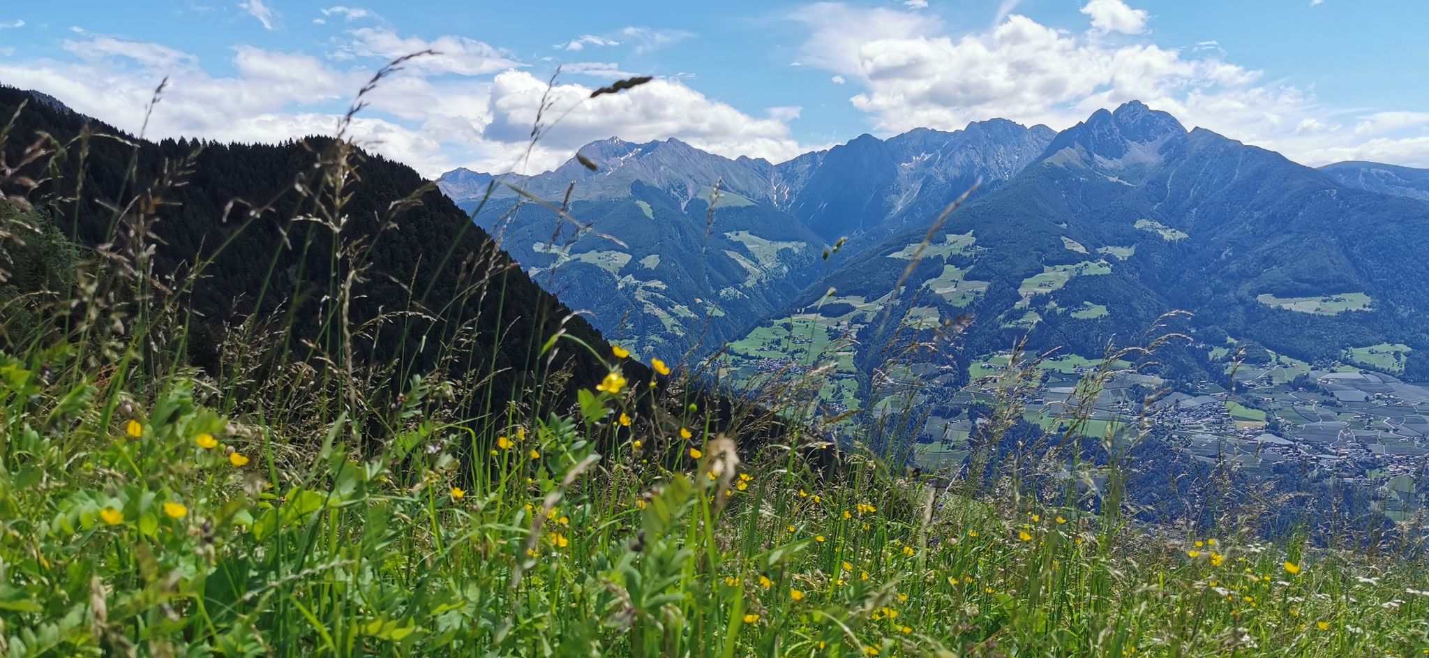
Extraordinary mountains – hiking around Merano in northern Italy
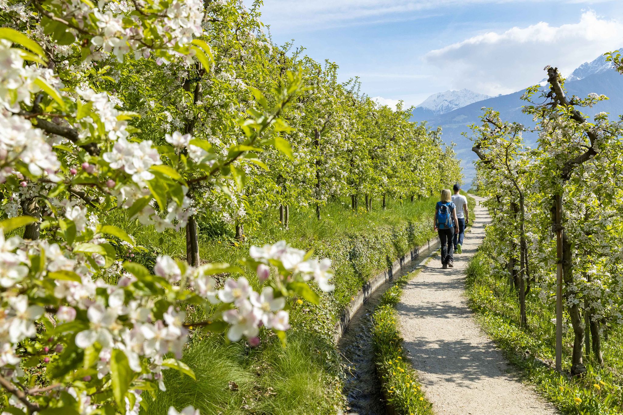
On the trail of the water along Italy’s Marlinger Waalweg
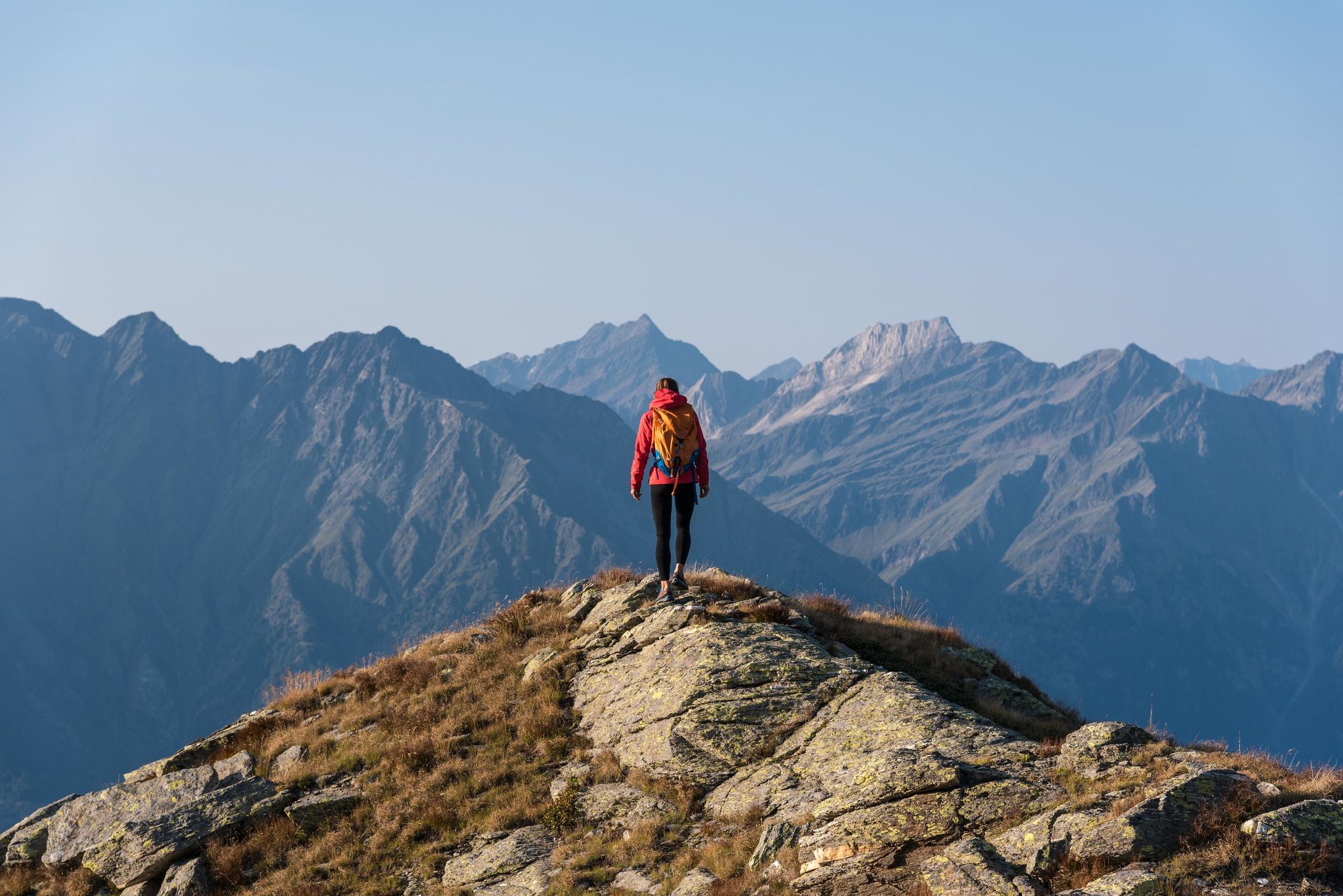
A Mediterranean-alpine paradise – day hikes in Italy’s Naturno

The most beautiful waterfalls of the Alps

Road to Lisbon – bikepacking the Alps, Pyrenees and Picos de Europa
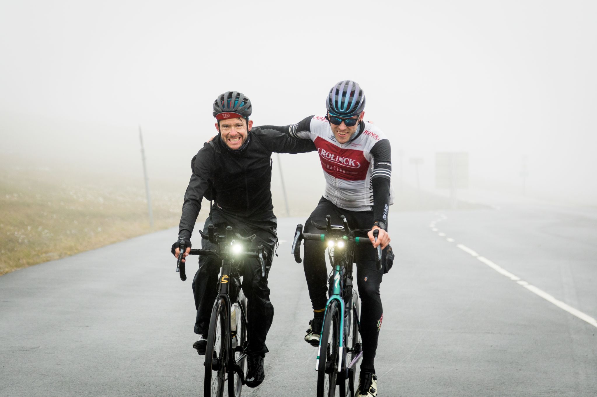
NorthCape4000 – 12 days from Lake Garda to the North Cape
Other adventures around the Adige


Tips from the Community

The view from the Sonnenberg is worth the effort of the climb.
0
0

Break with strange-sounding stones
0
0
The always beautiful view of the valley and the vineyards and apple orchards
0
0
The always beautiful view of the valley and the vineyards and apple orchards
0
0

Very nice view of the Vinschgau.
0
1

Incredible views and a bit of a thrill for some.
0
0

Beautiful and quiet Waalweg, unfortunately there was no water in the Waal.
1
0

Here the water 💦 takes a shortcut!🥹
0
0
Frequently Asked Questions
How many bus-accessible hiking trails are there in the Adige region?
The Adige region offers a vast network of bus-accessible hiking trails, with over 1500 routes available. These range from easy strolls through vineyards to challenging alpine ascents, ensuring options for every fitness level.
What kind of landscapes can I expect to see on these bus-accessible hikes?
The Adige region boasts incredibly diverse landscapes. You can expect to encounter the majestic peaks of the Dolomites, picturesque vineyards and chestnut groves, serene alpine meadows, and stunning lakes like Lago di Braies or Lago di Carezza. Unique geological formations such as the Earth Pyramids on the Renon Plateau and the Bletterbach Gorge also offer fascinating sights.
Are there family-friendly hiking options accessible by bus in the Adige?
Yes, the Adige region has numerous family-friendly routes that are easily reachable by bus. Many of the easier trails, including the historic 'Waalwege' (ancient irrigation channels with accessible paths), are perfect for families. These paths often have gentle gradients and offer beautiful views without being overly strenuous.
Can I find circular routes that start and end near bus stations?
Absolutely. Many trails in the Adige region are designed as circular routes, making them ideal for public transport users. For example, the Castle Juval Circular Hike offers historical sights and scenic views, while the Wallburgweg Loop in Naturno combines history with vineyards and valley vistas. Another great option is the Marlinger Waalweg loop from Marling - Marlengo, which takes you through beautiful vineyards.
What are some interesting landmarks or attractions I can see along bus-accessible hiking trails?
Hiking in the Adige region often leads you past fascinating landmarks. You can explore historic sites like the Historic Old Town Glurns / Glorenza or admire castles such as Fürstenburg Castle (Burgeis). Many routes also offer stunning viewpoints, like the View of Kastelbell Castle or the View of Castel Firmiano, providing panoramic vistas of the Adige Valley.
Are there any trails that feature waterfalls or impressive natural water features?
Yes, the Adige region is home to several beautiful water features. While specific bus-accessible routes to the Parcines Waterfall (a significant natural monument) might require a short connection, many trails in the broader region pass by smaller cascades or offer views of alpine lakes. The unique 'ice holes' at the foot of the Gandberg mountain, where icicles form even in summer, are another curious natural phenomenon to discover.
What is the best season for hiking in the Adige region using public transport?
The best season largely depends on your preferred type of hike. Spring and autumn offer pleasant temperatures for valley walks through vineyards and chestnut groves, with autumn providing spectacular foliage. Summer is ideal for higher alpine trails and enjoying wildflowers in meadows. Winter offers opportunities for snowshoeing or tranquil walks, though some bus routes to higher elevations might be less frequent or seasonal.
How do other hikers rate the bus-accessible trails in the Adige region?
The hiking trails in the Adige region are highly regarded by the komoot community, with an average rating of 4.49 stars. Reviewers frequently praise the well-maintained paths, the stunning variety of landscapes, and the convenience of accessing trailheads via public transport.
Are there options for more challenging hikes accessible by bus?
Certainly. While many easy and moderate routes are available, the Adige region also caters to experienced hikers. Trails like the Vellau Cliff Path – View from the Hochmuth Inn loop from Algund - Lagundo offer significant elevation gain and more demanding terrain. For those seeking true alpine challenges, the Tiergartenspitze Summit Trail from Grub provides a strenuous ascent to a mountain peak.
Can I find cafes or mountain huts along these bus-accessible hiking routes?
Yes, many hiking trails in the Adige region, even those accessible by bus, feature opportunities to stop for refreshments. You'll often find traditional mountain huts ('malghe') or cafes along the way, especially on popular routes and in valley areas. These provide a chance to rest, enjoy local cuisine, and take in the views.
Are there any specific long-distance routes that can be accessed via bus connections?
While this guide focuses on individual day hikes, the Adige region is home to renowned long-distance routes like the Chestnut Path (Keschtnweg) and the Alta Via di Merano. Many sections of these longer trails can be accessed via local bus services, allowing you to experience portions of them as day trips or multi-day adventures with strategic public transport planning.
Most popular routes around the Adige
Most popular attractions around the Adige

Get inspired with the komoot mobile app


Explore more
Browse the best Hikes in other regions.
