The best traffic-free bike rides around the Mio
4.4
(204)
4,538
riders
37
rides
No traffic road cycling routes around the Mio area in Michigan are characterized by the scenic Au Sable River and the expansive Huron National Forest. The terrain primarily features paved roads that follow the river, offering continuous views and moderate elevation changes. Cyclists can expect a mix of flat stretches and gentle hills, with some bluffs providing elevated vistas over the river valley. The region's natural features include dense pine and hardwood forests, providing a tranquil backdrop for road cycling.
…Last updated: June 28, 2026
125km
06:48
2,510m
2,510m
This difficult 77.4-mile road cycling route from Ourense to Monasterio de Oseira offers challenging climbs and historic sights.
55
riders
114km
07:02
2,790m
2,790m
Hard road ride. Very good fitness required. Mostly well-paved surfaces and easy to ride.

Sign up for free
49
riders
51.8km
02:58
1,060m
1,060m
Hard road ride. Very good fitness required. Some segments of this route may be unpaved and difficult to ride.
5.0
(1)
34
riders
28.1km
01:24
410m
410m
Moderate road ride. Good fitness required. Mostly well-paved surfaces and easy to ride.
14
riders
50.4km
02:48
950m
950m
Hard road ride. Very good fitness required. Some segments of this route may be unpaved and difficult to ride.
Get access to more routes and recommendations from other explorers.
Sign up for free
Already have an account?
Our route recommendations are based on thousands of hikes, rides, and runs completed by other people on komoot.
Start today with a free account
Your next adventure awaits.
Login or Signup
Popular around Mio

Way of St. James – 60 miles
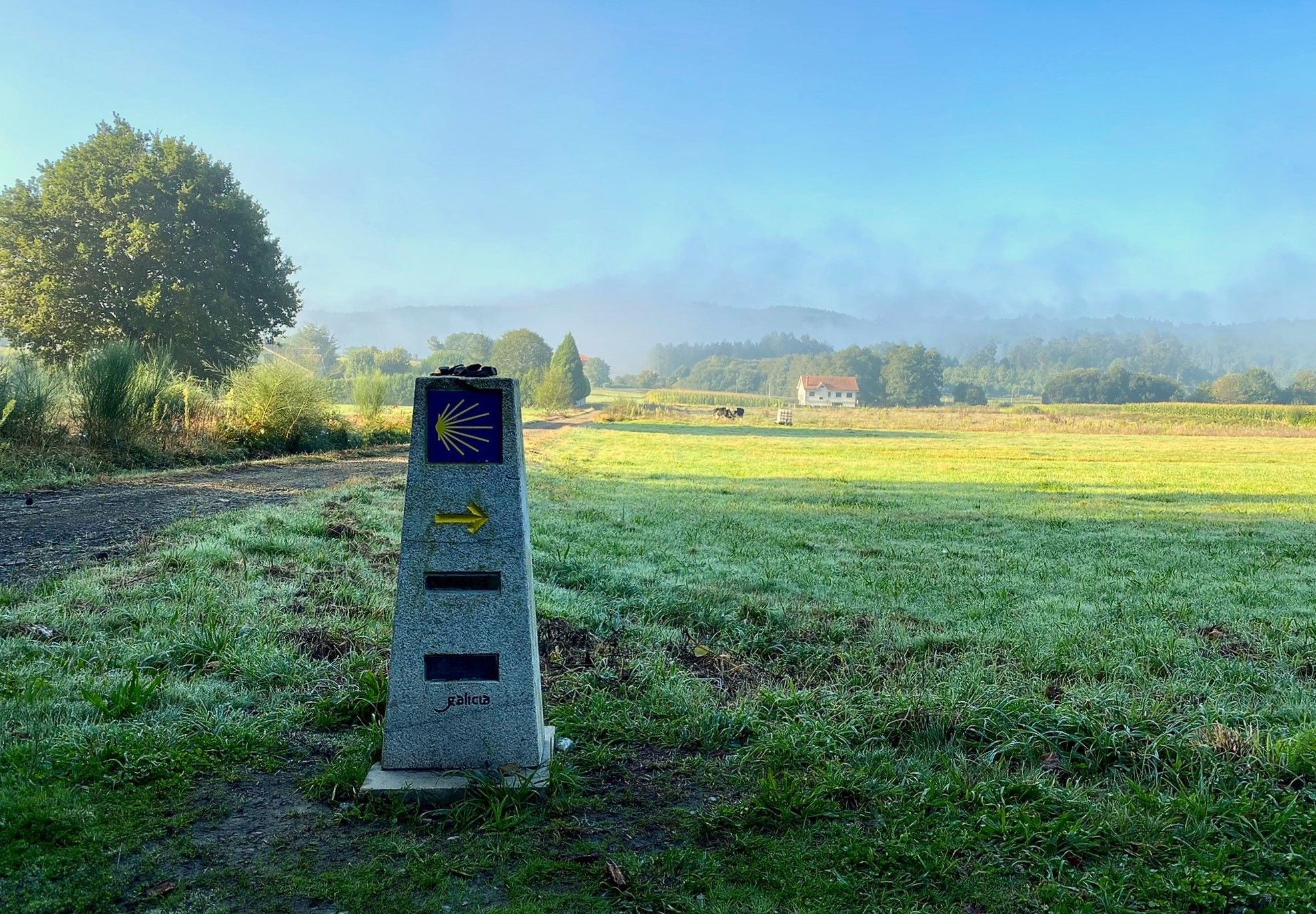
A pilgrimage on foot – Spain’s Primitive Way
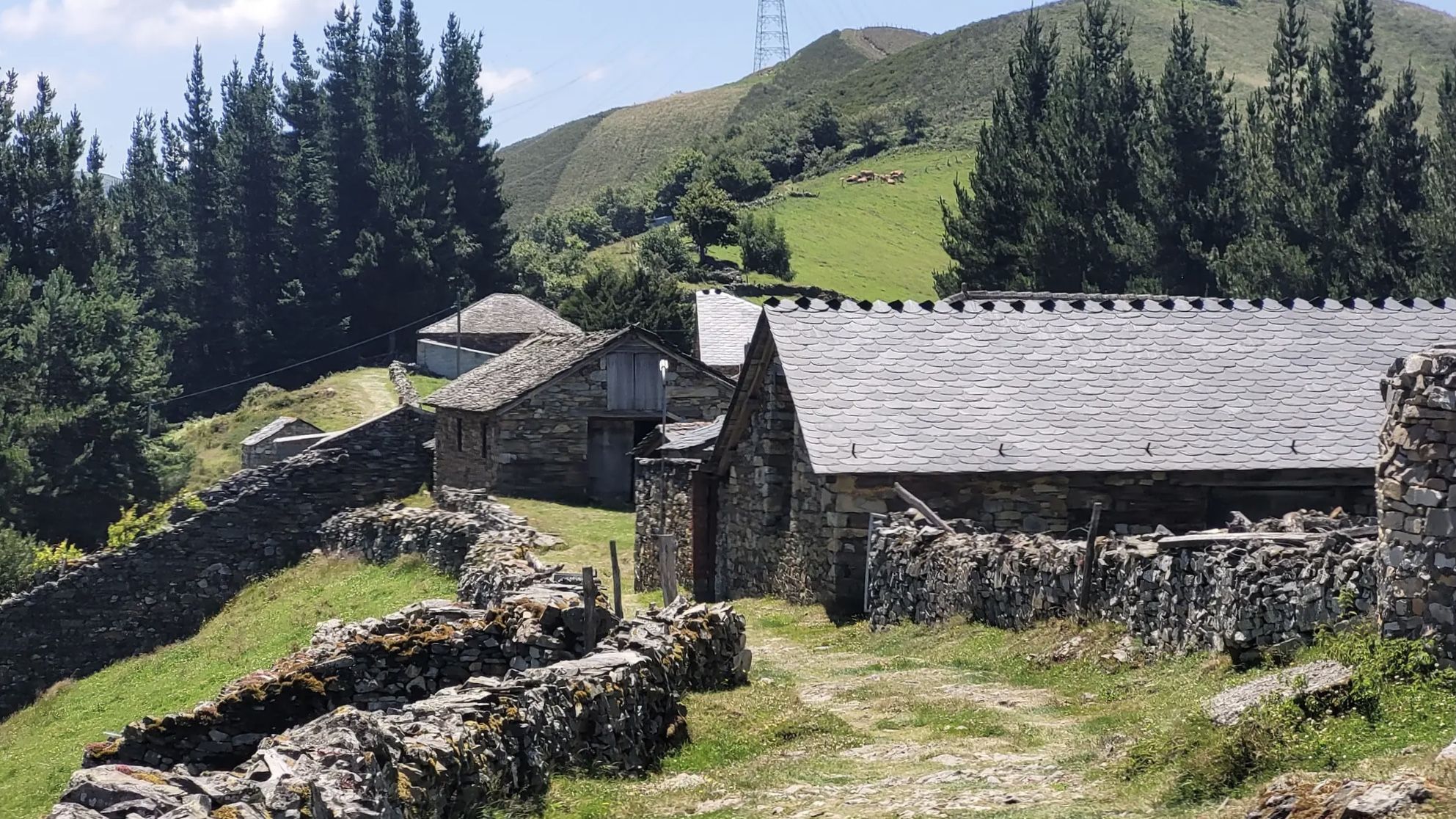
The Camino Primitivo — From Oviedo to Santiago through history
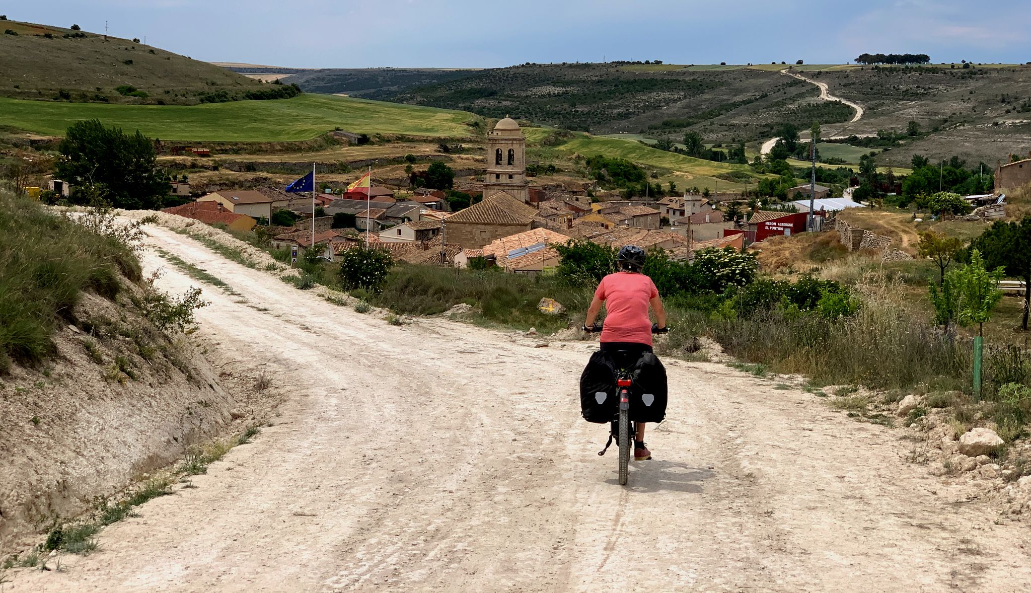
The Pilgrim Route — EuroVelo 3 through Spain
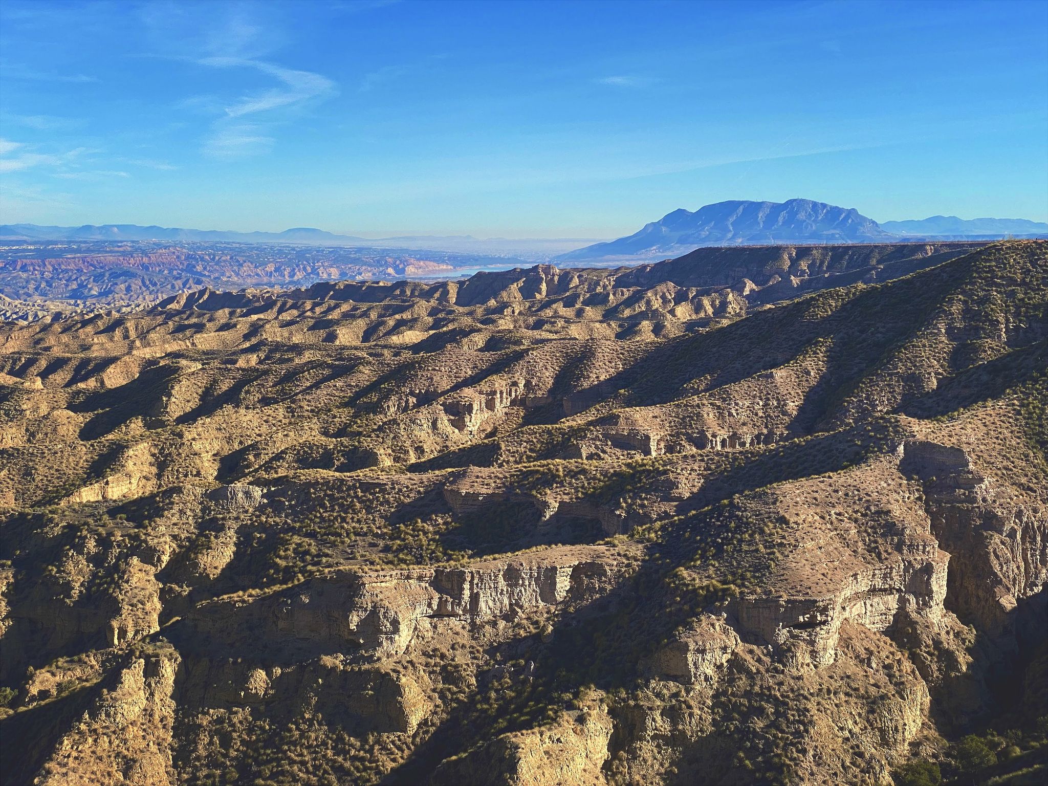
Discover Spain by gravel — a selection of must-see routes
Traffic-free bike rides around the Mio
Traffic-free bike rides around the Mio
Other adventures around the Mio


Tips from the Community

The Monastery of Santa María la Real de Oseira is located in the parish of Oseira (municipality of San Cristovo de Cea, Ourense), about 34 km from the city of Ourense and near the borders with Pontevedra and Lugo. Founded in 1137 by a group of hermits, it joined the Cistercian Order of Clairvaux in 1141. During the 12th and early 13th centuries, its main church was built, becoming one of the largest Cistercian monasteries in Spain. In 1552, a fire devastated the complex, but the church survived and retains an elegant, understated architectural style.
1
0
It spans the Miño River, linking the historic center of Ourense with the A Ponte neighborhood. It was built in the 1st century AD as a branch of the Via Nova (Via XVIII), connecting Bracara Augusta (Braga) with Asturica Augusta (Astorga). Only traces of the original Roman phase remain, such as rusticated stonework at the ends near the banks. It suffered damage during the Middle Ages; in 1228, under Bishop Lorenzo and with the support of Ferdinand III, it was rebuilt with pointed arches and renovated approaches. Until the 17th century, the bridge repeatedly collapsed. The final work was directed by Melchor de Velasco Agüero around 1660, establishing its current appearance.
1
0

One of the few preserved city walls in Europe.
3
0
Also very gigantic from below.
2
0

Frequently Asked Questions
How many no-traffic road cycling routes are available around Mio, Michigan?
Komoot features over 40 road cycling routes around Mio that are designed to minimize traffic, allowing you to enjoy the scenic beauty of the Huron National Forest and the Au Sable River region with greater peace of mind. These routes vary in length and difficulty, catering to different cycling preferences.
What kind of terrain can I expect on no-traffic road cycling routes near Mio?
The no-traffic road cycling routes around Mio primarily feature paved surfaces, with the most prominent being the Au Sable River Road National Scenic Byway. This route offers a mix of gentle inclines and descents as it follows the river, providing continuous scenic views. While not overly mountainous, you can expect some elevation changes, particularly when passing over bluffs overlooking the river.
Are there any scenic viewpoints or landmarks along the no-traffic road cycling routes?
Absolutely! The Au Sable River Road National Scenic Byway is rich with points of interest. Cyclists can enjoy breathtaking panoramic vistas from high sand bluffs and stop at locations like the Westgate Welcome Center & Scenic Overlook, Iargo Springs, Canoer's Memorial, and the Lumberman's Monument Visitor Center. These spots offer insights into the area's natural beauty and logging history.
What is the best time of year to road cycle in Mio, Michigan?
The best time for road cycling in Mio is typically from late spring through early fall. During these months, the weather is generally pleasant, and the natural scenery is at its peak. The fall color season is particularly stunning, offering vibrant foliage along the Au Sable River Road. Winter cycling is possible but requires appropriate gear due to snow and colder temperatures.
Are there family-friendly no-traffic road cycling options in Mio?
Yes, the Au Sable River Road National Scenic Byway offers a fantastic family-friendly experience. Its paved surface and scenic, low-traffic environment make it suitable for cyclists of varying ages and abilities. You can choose to cycle shorter segments or enjoy the full 22-mile stretch, stopping at various points of interest along the way.
Where can I park my car when accessing these routes?
Parking is generally available at key access points along the Au Sable River Road National Scenic Byway. Look for designated parking areas at visitor centers, scenic overlooks, and points of interest like the Westgate Welcome Center or the Lumberman's Monument Visitor Center. These spots often provide convenient starting points for your ride.
What makes the Au Sable River Road National Scenic Byway a 'no-traffic' route?
The Au Sable River Road National Scenic Byway is designated as a scenic route, which means it prioritizes natural beauty and recreational use over high-speed through traffic. While not entirely car-free, the traffic volume is significantly lower than on major highways, making it a much more peaceful and enjoyable experience for road cyclists seeking a 'no-traffic' feel.
Can I find loop routes for no-traffic road cycling in Mio?
While the Au Sable River Road National Scenic Byway is primarily a linear route, you can create loop experiences by combining sections of the Byway with other local paved roads or by arranging a shuttle. For a pure 'no-traffic' experience, cycling out and back on the Byway itself is a popular option, allowing you to enjoy the scenery from both directions.
What do other road cyclists enjoy most about cycling in Mio?
The Mio area is highly rated by the komoot community, with an average score of 4.3 stars. Reviewers often praise the tranquil beauty of the Au Sable River and the Huron National Forest, the well-maintained paved surfaces of the scenic byway, and the opportunity to immerse themselves in nature away from heavy traffic.
Are there any natural features like rivers or lakes visible from the cycling routes?
The Au Sable River is a central feature of the cycling experience in Mio. The Au Sable River Road National Scenic Byway closely follows the river, offering continuous views of its winding course. You'll also find opportunities to see the Mio Dam and its pond, providing a diverse natural landscape along your ride.
Are there any historical sites along the no-traffic road cycling routes?
Yes, the region has a rich logging history. Along the Au Sable River Road National Scenic Byway, you can visit the Lumberman's Monument Visitor Center, which provides insights into this important part of Michigan's past. The Canoer's Memorial also offers a glimpse into the area's recreational heritage.
Is public transport available to access the cycling routes in Mio?
Public transport options directly serving the specific access points for road cycling routes in Mio, Michigan, are limited. Most visitors typically arrive by car. It's advisable to plan your trip with personal vehicle access to reach the starting points of the Au Sable River Road National Scenic Byway and other routes.
Most popular routes around the Mio
Most popular attractions around the Mio

Get inspired with the komoot mobile app


Explore more
Browse the best Road cycling routes in other regions.
