The best traffic-free bike rides around Unterlunkhofen
4.5
(1515)
14,306
riders
323
rides
No traffic touring cycling routes around Unterlunkhofen offer a landscape characterized by the tranquil Reuss River and its expansive floodplains. The terrain is predominantly flat, with gentle elevation changes suitable for various fitness levels. Cyclists can explore a mix of open fields and forested areas, providing varied scenery throughout the region. This area in the Swiss canton of Aargau is well-regarded for relaxed cycling, minimizing heavy traffic.
Best no traffic touring cycling routes around Unterlunkhofen
- The most popular no traffic…
Last updated: October 1, 2026
4.5
(4)
36
riders
24.2km
01:26
170m
170m
Moderate bike ride. Good fitness required. Mostly paved surfaces. Suitable for all skill levels.
4.3
(3)
32
riders
15.9km
01:05
240m
250m
Moderate bike ride. Good fitness required. Mostly paved surfaces. Suitable for all skill levels.

4.3
(8)
20
riders
19.0km
01:09
130m
130m
Easy bike ride. Great for any fitness level. Mostly paved surfaces. Suitable for all skill levels.
5.0
(2)
20
riders
Easy bike ride. Great for any fitness level. Mostly paved surfaces. Suitable for all skill levels.
5.0
(1)
14
riders
15.2km
01:07
220m
220m
Moderate bike ride. Good fitness required. Mostly paved surfaces. Suitable for all skill levels.
Get access to more routes and recommendations from other explorers.
Already have an account?
Our route recommendations are based on thousands of hikes, rides, and runs completed by other people on komoot.
Start today with a free account
Your next adventure awaits.
Popular around Unterlunkhofen
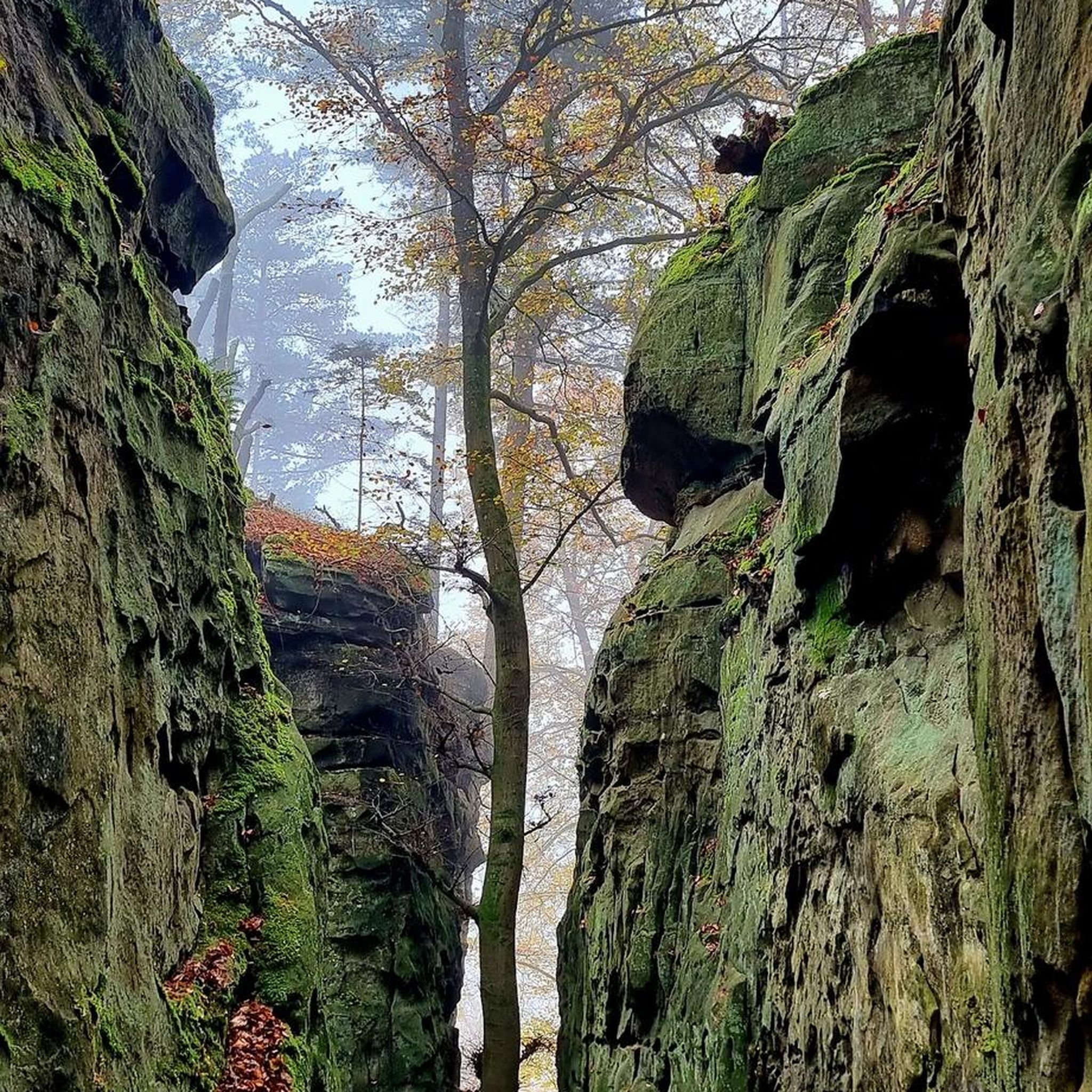
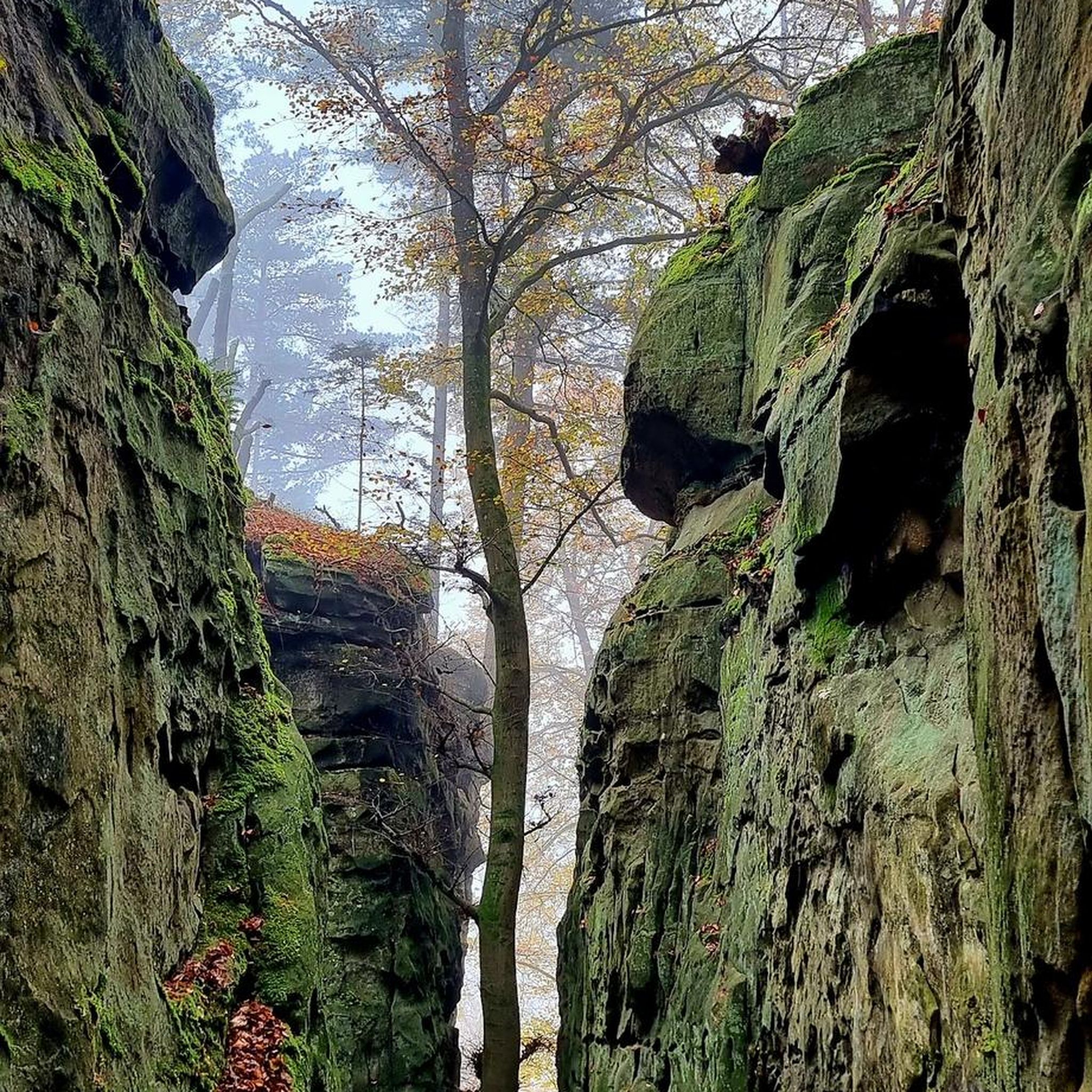
Tips from the Community

Ideal path suitable for various activities (biking, walking, hiking, etc.). There are also entry points if you want to explore the Reuss with your own inflatable boat, SUP, or canoe.
0
0
Beautiful view of the Reuss, whether going upstream or downstream. Right next to the bridge, there is a small sandbank that invites you to swim.
0
0
On both sides of the Reuss bridge, there are many free parking spaces that can be used as a starting point for hikes or bike tours. Directly at the Reuss bridge, there is also the restaurant "Hecht" where you can indulge in culinary delights.
0
0
Islisberg offers a beautiful view of Lake Zug and Uetliberg (especially in the area of the schoolhouse/sports field)
0
0


Bremgarten is always worth a bike ride, whether with a gravel bike, mountain bike, or road bike.
0
0
Bremgarten is always worth a visit.
0
0

Floodplain landscape and lots of nature
2
0
Frequently Asked Questions
How many no-traffic touring cycling routes are available around Unterlunkhofen?
There are over 300 dedicated no-traffic touring cycling routes around Unterlunkhofen, offering a wide range of options for all skill levels. You'll find routes varying from easy, flat paths to moderate tours with gentle inclines, perfect for exploring the region's natural beauty.
What kind of scenery can I expect on these traffic-free cycling routes?
The routes around Unterlunkhofen offer diverse and tranquil scenery. You can expect picturesque views along the Reuss River and its expansive floodplains, serene stretches through open fields, and refreshing rides through forested areas. The region is known for its rich biodiversity, making for a truly engaging backdrop.
Are there any family-friendly no-traffic cycling routes suitable for beginners?
Absolutely. Many of the routes in and around Unterlunkhofen are ideal for families and beginners. The terrain is predominantly flat with gentle elevation changes, and many paths are paved. An excellent option is the Reuss River Picnic Area – Gravel Path Along the Reuss loop from Oberlunkhofen, which is an easy 12.4 km route through the scenic Reuss River landscape.
What are some interesting natural attractions or landmarks I can see along the routes?
The region boasts several natural highlights. You can cycle past the tranquil Flachsee, known for its unique wildlife like water buffalo. Other notable natural monuments include Lake Türler and Egelsee. For historical interest, you might encounter sites like the Erdmannlistein.
Are there any circular no-traffic bike trails around Unterlunkhofen?
Yes, many of the no-traffic routes are designed as loops, allowing you to start and finish at the same point. For instance, the Flachsee and the Water Buffalo – Reuss View loop from Oberlunkhofen is a popular moderate circular route that takes you through diverse landscapes and past the Flachsee.
What is the best time of year to cycle these routes?
The spring, summer, and early autumn months generally offer the most pleasant conditions for cycling around Unterlunkhofen. During these seasons, the weather is typically mild, and the natural landscapes are at their most vibrant, making for an enjoyable experience along the Reuss River and through the fields and forests.
Are there options for parking near the starting points of these routes?
Yes, many routes originating from towns like Oberlunkhofen or nearby villages offer convenient parking options. It's advisable to check local parking availability for specific starting points, but generally, you'll find suitable places to leave your vehicle before heading out on your ride.
Can I access these no-traffic cycling routes using public transport?
The Aargau region, including areas around Unterlunkhofen, is well-connected by public transport. Many starting points for cycling routes are accessible via local bus services or train stations in nearby towns, allowing for easy access without a car. We recommend checking local public transport schedules for the most convenient connections to your chosen route's starting point.
What do other touring cyclists enjoy most about cycling in Unterlunkhofen?
The komoot community highly rates the cycling experience around Unterlunkhofen, with an average score of 4.58 stars. Reviewers often praise the region's tranquil, traffic-free paths, the beautiful riverine landscapes, and the opportunity to observe nature. The well-maintained surfaces and clear signage also contribute to a positive experience.
Are there any routes that offer views of historic towns or castles?
Yes, some routes provide glimpses of the region's historical charm. For example, the Reuss Bridge – Reuss River Picnic Area loop from Oberlunkhofen offers views of the historic town of Bremgarten. Additionally, you can find several castle ruins in the wider area, such as Kindhausen Castle Ruins or Friesenberg Castle Ruins, which can be incorporated into longer tours.
How long do these no-traffic touring bike routes typically take to complete?
The duration varies significantly depending on the route's length and your cycling pace. Easy routes, like the 12.4 km Reuss River Picnic Area – Gravel Path Along the Reuss loop from Oberlunkhofen, can be completed in just over an hour. Moderate routes, such as the 24.2 km Flachsee and the Water Buffalo – Reuss View loop from Oberlunkhofen, typically take around 1.5 to 2 hours. There are also longer options for extended tours.
Most popular routes around Unterlunkhofen
Most popular attractions around Unterlunkhofen

Get inspired with the komoot mobile app


Explore more
Browse the best Cycling routes in other regions.
