The best traffic-free bike rides around Sils im Domleschg
4.8
(50)
553
riders
23
rides
Gravel biking around Sils im Domleschg offers diverse terrain within the Swiss canton of Graubünden, characterized by a hilly cultivated landscape, river valleys, and significant forested areas. The region is situated between the Hinterrhein and Albula Rivers, with dramatic features like the Viamala and Schin Gorges. This area provides a variety of no traffic gravel bike trails that wind through orchards and past historical sites.
Best no traffic gravel bike trails around Sils im Domleschg
- The most popular no traffic…
Last updated: July 12, 2026
12
riders
36.4km
04:23
1,590m
1,590m
Hard gravel ride. Very good fitness required. Some segments of this route may be unpaved and difficult to ride.
5.0
(4)
15
riders
18.6km
01:24
270m
270m
Moderate gravel ride. Good fitness required. Mostly paved surfaces. Suitable for all skill levels.

Sign up for free
4.9
(9)
81
riders
64.6km
05:23
1,760m
1,760m
Hard gravel ride. Very good fitness required. You may need to push your bike for some segments of this route.
4.6
(16)
146
riders
54.5km
03:12
590m
590m
Hard gravel ride. Very good fitness required. Mostly paved surfaces. Suitable for all skill levels.
4.9
(8)
55
riders
Moderate gravel ride. Good fitness required. Mostly paved surfaces. Suitable for all skill levels.
Get access to more routes and recommendations from other explorers.
Sign up for free
Already have an account?
Our route recommendations are based on thousands of hikes, rides, and runs completed by other people on komoot.
Start today with a free account
Your next adventure awaits.
Login or Signup
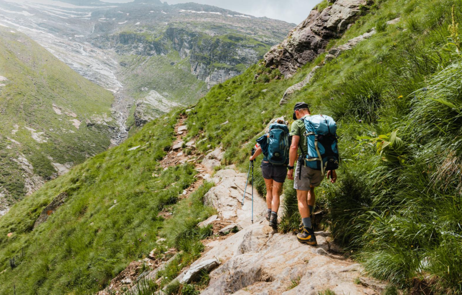
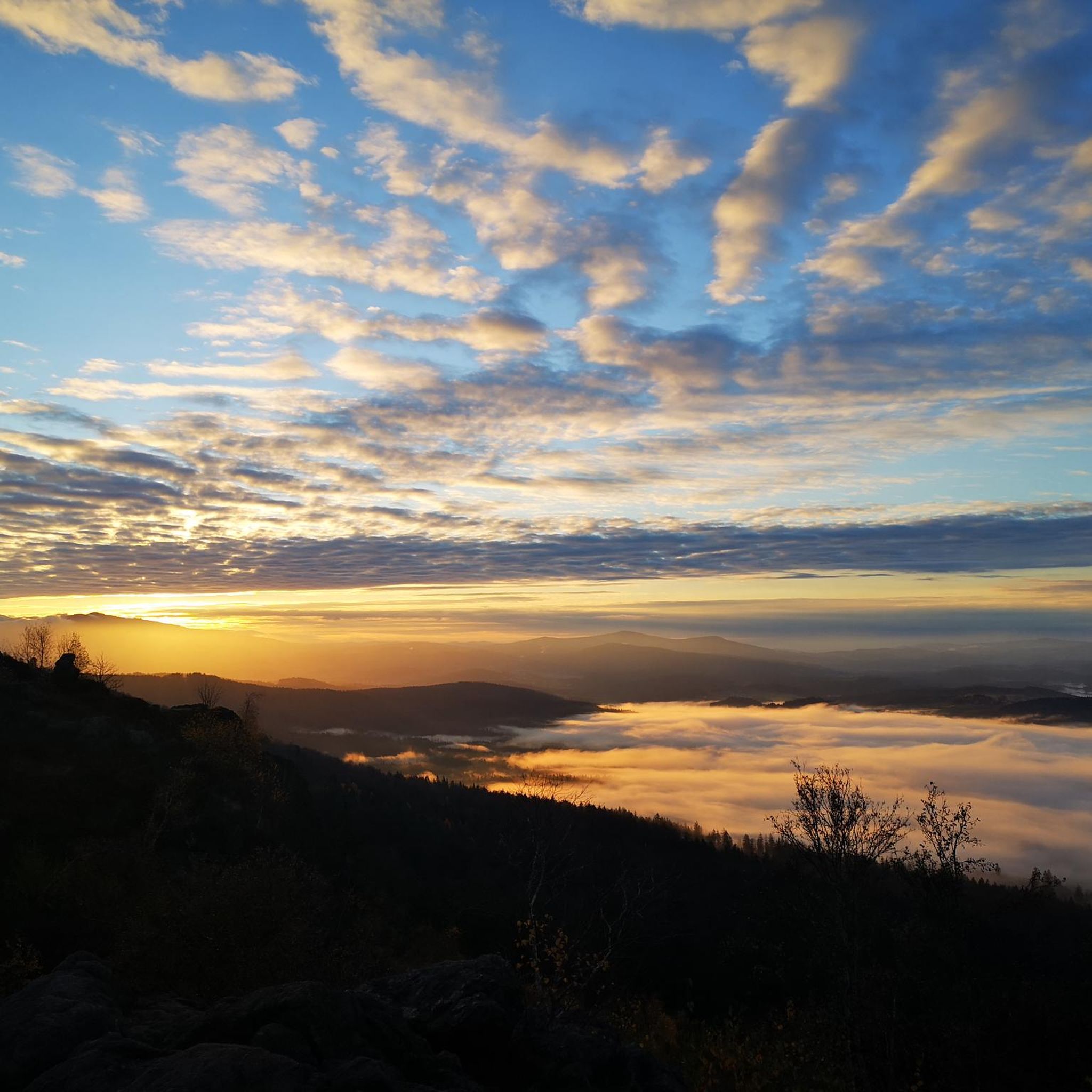
Other adventures around Sils im Domleschg

Tips from the Community

A place of power in a special class
0
0


Ruinaulta Rhine Gorge The Ruinaulta, or Rhine Gorge, is a gorge of the Vorderrhein River, up to 400 meters deep and approximately 13 kilometers long, between Ilanz and the mouth of the Hinterrhein River near Reichenau in the canton of Graubünden in Switzerland. The Romansh name 'Ruinaulta' is composed of the two words ruina (scree slope, quarry) and aulta (high). The Ruinaulta was formed after the Flims Landslide almost 10,000 years ago. At that time, over 10 billion cubic meters of rock broke off between the Flimserstein and Piz Grisch, burying the Vorderrhein Valley between the present-day villages of Castrisch and Reichenau under a mass of debris several hundred meters thick. Because the Vorderrhein River could no longer drain away, a lake was dammed over a length of approximately 25 kilometers. Over time, the river cut deep into the landslide, and the resulting lake drained away completely. What remained was the Ruinaulta, with its steep limestone scree cliffs in impressive erosion formations. Text / Source: Wikipedia https://de.wikipedia.org/wiki/Ruinaulta
16
0
Confluence of the Vorderrhein and Hinterrhein, Reichenau Dominated by Reichenau Castle, the hamlet lies at the confluence of the Vorderrhein and Hinterrhein rivers, making it virtually the birthplace of the Rhine. It all began 10,000 years ago. Between the Flimserstein (a high plateau) and Piz Grisch, over 10,000 cubic meters of rock broke off and thundered down into the valley. Towards Reichenau, the Vorderrhein valley disappears under a gigantic mass of rubble. From there, the Rhine diligently ate its way through the rock, creating the spectacular Swiss "Grand Canyon" – the Ruinaulta. Text / Source: myswitzerland.com https://www.myswitzerland.com/de-ch/erlebnisse/route/vom-zusammenfluss-der-rheine-in-die-rheinschlucht/
16
0

Great little place. Incidentally, the Vorderrhein and Hinterrhein rivers converge in this village.
0
0

Great mountain village with old houses
0
0

very nice on sunny days
0
0

Until now I only knew this as a ski slope, but it's also great for riding a bike
0
0
Frequently Asked Questions
How many no traffic gravel bike trails are there in Sils im Domleschg?
There are over 25 dedicated no-traffic gravel bike trails around Sils im Domleschg, offering a wide range of options for different skill levels. You'll find everything from easy cruises to challenging, longer routes.
Are there easy, family-friendly no-traffic gravel routes in the region?
Yes, the region offers several easy routes suitable for families. A great option is the Canova Cruise, which is a pleasant tour through the Domleschg with no long climbs, passing by castles and the scenic Canova lake. It's designed to be accessible and enjoyable for a wider range of riders.
What kind of natural attractions can I expect to see on these trails?
The no-traffic gravel trails in Sils im Domleschg often lead through diverse landscapes. You can expect to encounter the dramatic Viamala Gorge with its steep rock walls, the impressive Schin Gorge, and picturesque areas along the Hinterrhein and Albula Rivers. The region is also rich in forests, making up over 70% of Sils im Domleschg's area, providing plenty of serene, natural stretches.
Are there any historical landmarks or castles along the gravel routes?
Absolutely. The Domleschg region is known for its rich history and numerous castles. You might pass by the ruins of Hohen Rätien Castle, perched above Thusis, or spot Rietberg Castle and Schauenstein Castle. The area also features ancient petroglyphs at Carschenna, offering a glimpse into prehistoric times.
What is the best season for gravel biking in Sils im Domleschg?
The best season for gravel biking in Sils im Domleschg is generally from spring through autumn. During these months, the weather is most favorable, and the trails are typically clear. While some lower elevation routes might be accessible in winter, higher passes can be snow-covered, requiring specific winter gear and conditions knowledge.
Are there challenging no-traffic gravel routes for experienced riders?
Yes, for experienced riders seeking a challenge, there are several difficult no-traffic routes. For example, the Thusis - Glaspass - Thusis route offers significant elevation gain, requiring very good fitness. Another demanding option is the Polenweg Trail – Alter Schin Historic Trail loop, which also features substantial climbing.
How can I access the gravel trails using public transport?
Sils im Domleschg is well-connected by public transport, making it convenient to reach many trailheads. The region's railway stations and bus stops often serve as excellent starting points for tours, allowing you to plan point-to-point rides or easily return to your accommodation after a loop. Always check local timetables for the most current information.
Where can I find parking for gravel biking trailheads in Sils im Domleschg?
Parking is generally available in and around Sils im Domleschg, particularly in larger villages like Thusis, which often serve as popular starting points for various routes. Look for designated parking areas near train stations or town centers, which usually provide good access to the trail networks. Specific parking details can often be found on individual route descriptions on komoot.
What do other gravel bikers enjoy most about the no-traffic trails in Sils im Domleschg?
The area is highly rated by the komoot community, with an average score of 4.75 stars. Reviewers often praise the quiet, car-free nature of the trails, the stunning alpine scenery, and the rich mix of natural beauty and historical sites like castles and gorges. The variety of routes, from gentle valley rides to challenging mountain climbs, is also frequently highlighted.
Are there any waterfalls visible from the no-traffic gravel bike trails?
While direct access to all waterfalls might require short detours on foot, the region around Sils im Domleschg is home to several impressive water features. You might encounter the Nolla Waterfall or other smaller cascades like the Small Waterfall and Cliff Pathway, especially when riding through the gorges or along river valleys.
Can I find loop gravel bike routes that are car-free?
Yes, many of the no-traffic gravel bike routes in Sils im Domleschg are designed as loops, allowing you to start and finish at the same point without needing additional transport. This is particularly true for routes that explore specific valleys or circuits around prominent natural features, offering a complete and immersive experience.
Most popular routes around Sils im Domleschg
Most popular attractions around Sils im Domleschg

Get inspired with the komoot mobile app


Explore more
Browse the best Gravel rides in other regions.
