The best hikes from bus stations around City of Leicester
4.5
(1029)
11,275
hikers
53
hikes
Hiking around City of Leicester offers a network of bus station hiking trails that traverse urban green spaces, riverside paths, and canal towpaths. The landscape within the city is characterized by the River Soar and Grand Union Canal, providing accessible, flat routes. Notable features include extensive parks like Abbey Park and Victoria Park, as well as nature reserves such as Aylestone Meadows and Watermead Country Park, which offer diverse environments for outdoor activity.
Best bus station hiking trails around City…
Last updated: August 22, 2026
5.0
(1)
35
hikers
Easy hike. Great for any fitness level. Easily-accessible paths. Suitable for all skill levels.
4.5
(2)
21
hikers
9.80km
02:29
20m
20m
Moderate hike. Good fitness required. Easily-accessible paths. Suitable for all skill levels.

Sign up for free
24
hikers
Easy hike. Great for any fitness level. Easily-accessible paths. Suitable for all skill levels.
4.5
(2)
10
hikers
12.9km
03:17
30m
30m
Moderate hike. Good fitness required. Easily-accessible paths. Suitable for all skill levels.
5.0
(1)
35
hikers
6.54km
01:42
40m
40m
Easy hike. Great for any fitness level. Easily-accessible paths. Suitable for all skill levels.
Get access to more routes and recommendations from other explorers.
Sign up for free
Already have an account?
Our route recommendations are based on thousands of hikes, rides, and runs completed by other people on komoot.
Start today with a free account
Your next adventure awaits.
Login or Signup
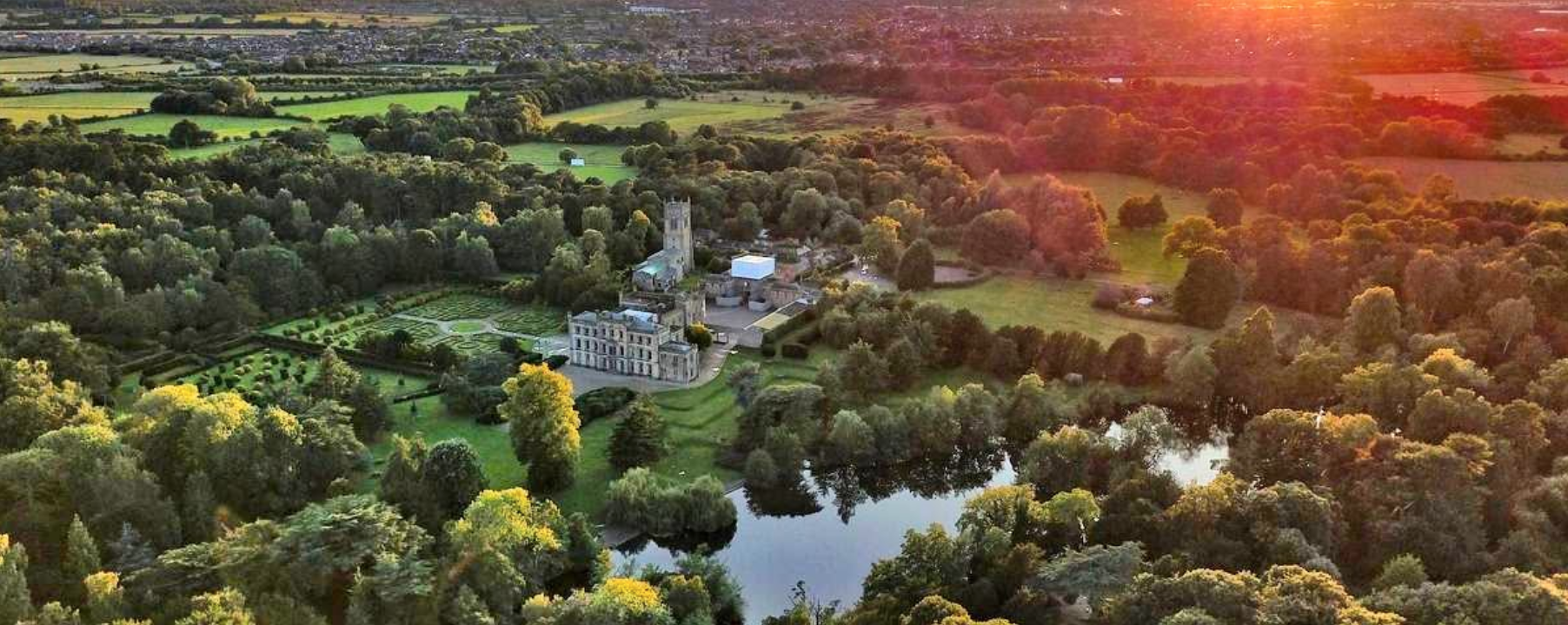
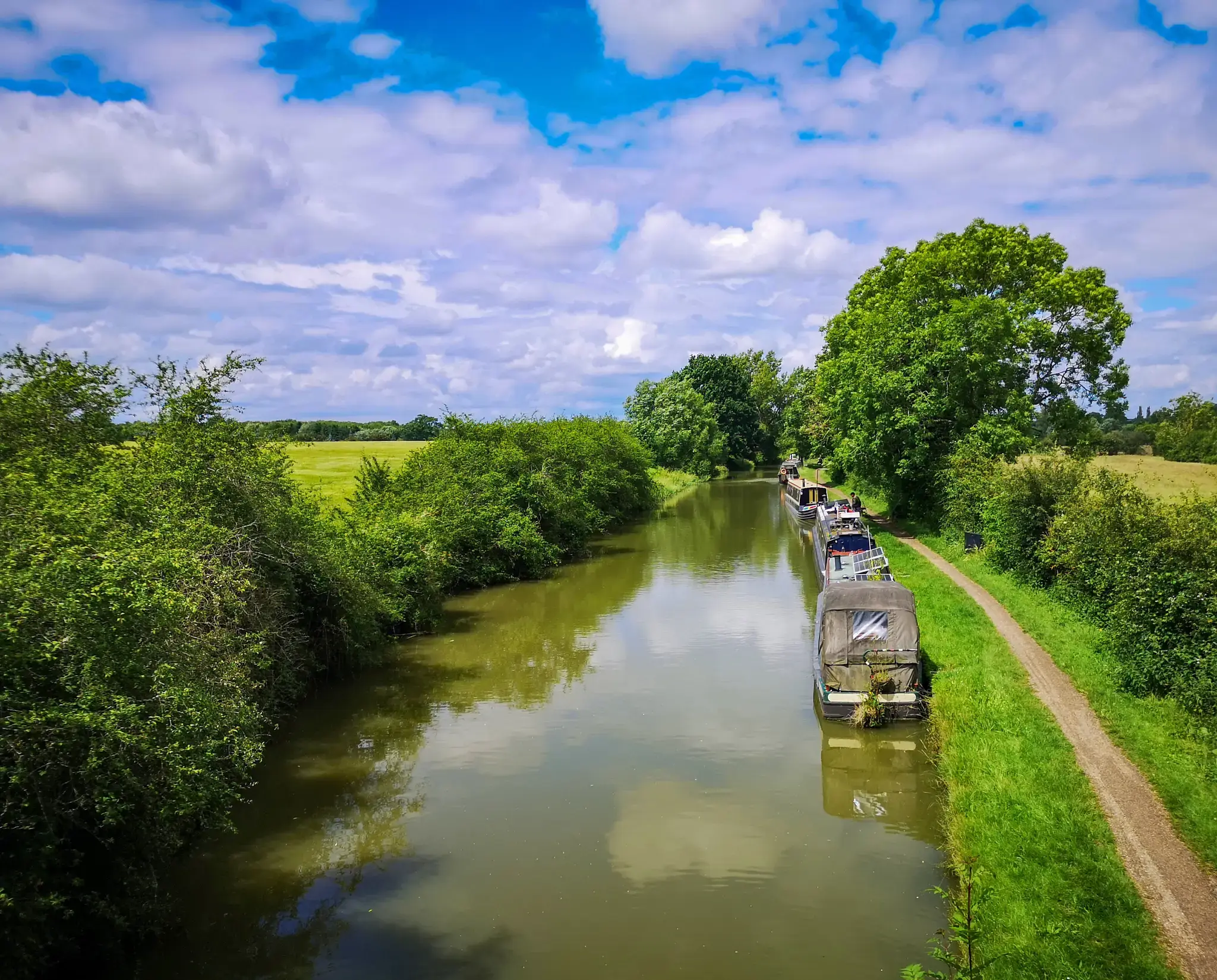
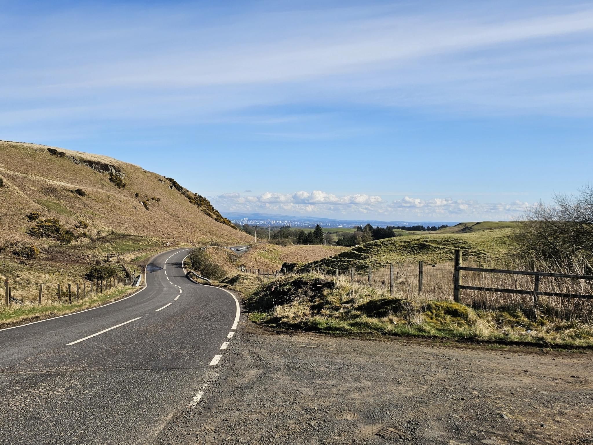

Other adventures around City of Leicester


Tips from the Community

The life-sized Woolly Mammoth sculpture in Watermead Country Park, Leicester, sits atop a small hill overlooking "Mammoth Lake". Built to commemorate Ice Age remains found during quarrying, it is a popular, accessible landmark for walkers and cyclists along the River Soar, with a 1-mile, pushchair-friendly circuit.
1
0

Free, secure, city centre bike parking. Perfect place to safely leave a bike during the day time.
1
0


Cafe, toilets, beautiful park, miniature railway. Cycle route through the patk
0
0

The River Soar divides this beautiful park into two distinct areas: On the western side are the Abbey Grounds with remains of the twelfth century Leicester Abbey, and the ruins of Cavendish House, a seventeenth century mansion. Abbey Park Café is also here. To the east of the river is the Victorian part of the park with its evergreen shrubberies, trees, boating lake, miniature railway, and formally planted flower displays.
3
0
This striking mural, on Aylestone Road, marks the entrance to Aylestone Meadows close to Mill Lock. It features the wildlife that can be seen on the meadows, such as longhorn cattle, hares, mallards and dragonflies. Local landmark the Pack Horse Bridge is also depicted. The mural was designed and created by local artist Leigh Drummond, aka Mono, working with artists’ collective Graffwerk.
1
0

Turn off the canal path onto Aylestone Meadows to access
1
0

Frequently Asked Questions
How many hiking trails are accessible from bus stations in the City of Leicester?
There are over 40 hiking trails in the City of Leicester that are easily accessible from various bus stations. These routes cater to a range of abilities, from easy strolls to more challenging treks, allowing you to explore the region's diverse landscapes without needing a car.
Are there any easy, family-friendly bus-accessible hikes in Leicester?
Yes, many routes are suitable for families. For an easy, relatively flat walk, consider the Crocus Flowers – Skate Park loop from Braunstone Town, which is just over 4 km. Aylestone Meadows, Leicester's largest local nature reserve, also offers boardwalks through marshland, providing a peaceful escape within the city that's great for all ages.
What kind of landscapes can I expect on bus station hiking trails around Leicester?
The bus-accessible trails around Leicester offer a surprising variety of landscapes. You can find tranquil riverside paths along the River Soar, canal towpaths like those near the Grand Union Canal, and green spaces such as Abbey Park and Victoria Park. Further out, areas like Charnwood Forest offer more rugged terrain, while Watermead Country Park features lakes and woodlands.
Are there any circular hiking routes accessible by bus?
Yes, many of the trails are circular, making them convenient for bus travel. An example is the Victoria Park – Victoria Park loop from King Power Stadium, which is an easy 6.6 km route through a historic city park. This allows you to start and end your hike at the same bus stop.
What can I see along the bus station hiking trails in Leicester?
Many trails offer interesting sights. For example, routes passing through Abbey Park might lead you past the Stone Bridge in Abbey Park. Other routes might take you past the Friars Mill or the vibrant Aylestone Meadows Wildlife Mural. You can also find natural features like the River Soar and various ponds.
Are there any longer or more challenging hikes accessible by bus?
While many routes are easy to moderate, there are options for longer walks. The Stone Bridge in Abbey Park – Abbey Park loop from Birstall is a moderate 13.6 km route. For more challenging terrain, consider exploring areas like Charnwood Forest, which offers rugged landscapes, though specific bus connections to its trailheads may require planning.
What do other hikers enjoy most about bus-accessible hikes in the City of Leicester?
The bus-accessible trails in the City of Leicester are highly rated by the komoot community, with an average score of 4.5 stars. Reviewers often praise the accessibility of these routes, the variety of green spaces within and around the city, and the peaceful escapes they offer from urban life.
Can I find routes that include urban green spaces and parks?
Absolutely. Leicester is rich in urban green spaces. The Abbey Park – Stone Bridge in Abbey Park loop from Leicester is a moderate 10.3 km route that takes you through one of the city's beautiful Victorian parks. Other parks like Victoria Park and Braunstone Park also offer excellent walking opportunities easily reached by bus.
Are there any routes that follow canal paths or rivers?
Yes, the City of Leicester is interwoven with green corridors along the River Soar and the Grand Union Canal. Many bus-accessible routes utilize these flat, scenic paths. For example, the Great Central Way – Path Beside the Pond loop from King Power Stadium offers a moderate 8.8 km walk that includes waterside sections.
Where can I find more information about parks and landscapes in Leicester?
For additional information on the various parks and landscapes within the City of Leicester, you can visit the official tourism website: visitleicester.info. This resource can help you discover more about the natural beauty and green spaces the region has to offer.
Most popular routes around City of Leicester
Most popular attractions around City of Leicester

Get inspired with the komoot mobile app


Explore more
Browse the best Hikes in other regions.
