The best hikes from bus stations in the Shikoku Mountains
4.5
(69)
610
hikers
14
hikes
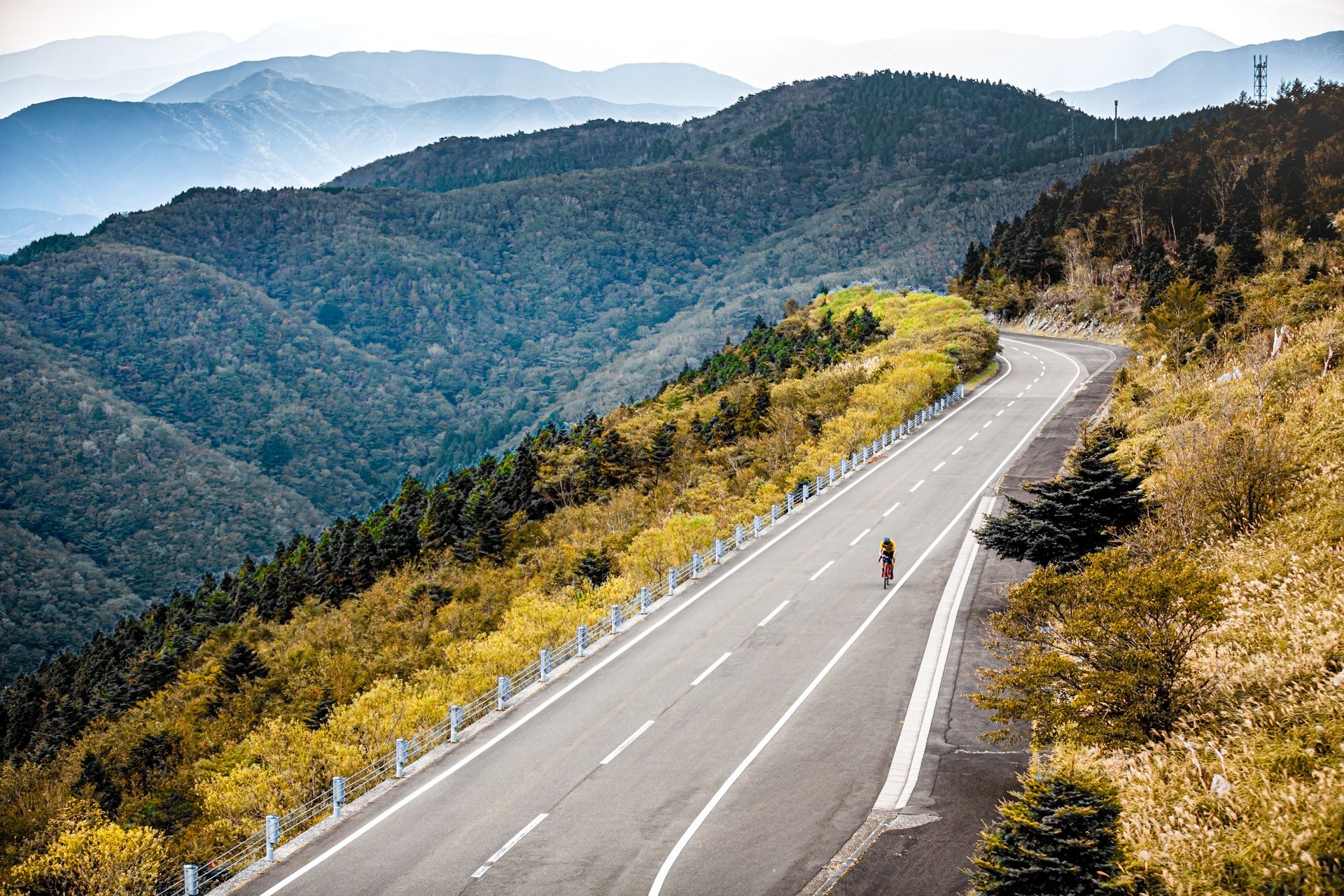
Bus station hiking trails in the Shikoku Mountains traverse Japan's smallest main island, offering diverse landscapes. The region is characterized by towering peaks like Mount Ishizuchi and Mount Tsurugi, extensive highlands covered with bamboo grass, and unique karst topography. Dense forests cover approximately 70% of Shikoku, with dramatic gorges carved by rivers such as the Iya and Yoshino. These features provide varied terrain for hikers, from challenging ascents to more moderate paths.
Best bus station hiking trails in the Shikoku…
Last updated: October 1, 2026
5.0
(2)
54
hikers
8.89km
03:44
740m
740m
Moderate hike. Good fitness required. Easily-accessible paths. Suitable for all skill levels.
4.7
(7)
49
hikers
Moderate hike. Good fitness required. Easily-accessible paths. Suitable for all skill levels.

5.0
(2)
57
hikers
3.06km
01:07
190m
190m
Easy hike. Great for any fitness level. Easily-accessible paths. Suitable for all skill levels.
4.3
(3)
18
hikers
15.4km
07:34
1,700m
1,700m
Hard hike. Very good fitness required. Sure-footedness, sturdy shoes and alpine experience required.
4.7
(3)
16
hikers
Moderate hike. Good fitness required. Easily-accessible paths. Suitable for all skill levels.
Get access to more routes and recommendations from other explorers.
Already have an account?
Our route recommendations are based on thousands of hikes, rides, and runs completed by other people on komoot.
Start today with a free account
Your next adventure awaits.
Popular around Shikoku Mountains
Other adventures in the Shikoku Mountains

Tips from the Community


Observation deck with great views of Kotohira
3
2
Here the eighty myriad kami (literally "eight million gods") of Shinto are worshiped
4
2
Shrine for the sailors, almost all Japanese ships have an amulet of the shrine on board
3
2

There are few buses in both directions, so you should be informed before departure exactly about the departure times and on the summit of Mt. Tsurugi should not take too long break. At the weekend the connections are a bit better.
1
0
On weekends you can take public buses to Mount Tsurugi. After a short cable car ride and a 30-minute walk to the summit you can hike from Mt. Tsurugi to the Lianen bridge Kazurabashi in a few hours, from where the bus goes back in the opposite direction.
1
0
Frequently Asked Questions
How many bus-accessible hiking trails are available in the Shikoku Mountains?
There are 14 bus-accessible hiking trails in the Shikoku Mountains featured in this guide. These routes offer a variety of experiences, from easy walks to more challenging ascents, all starting conveniently from bus stations.
What kind of terrain can I expect on bus-accessible hikes in the Shikoku Mountains?
The Shikoku Mountains offer diverse terrain. You can expect majestic peaks like Mount Ishizuchi and Mount Tsurugi, extensive highlands covered with bamboo grass, and dense forests. Some routes, particularly those in the Iya Valley, feature dramatic gorges and rivers. The region is known for its varied landscapes, from sacred mountain paths to unique karst formations.
Are there any easy bus-accessible hikes suitable for beginners or families?
Yes, there are 4 easy bus-accessible hikes. A great option for beginners or families is the Asahi-no-Yashiro Shrine – Kotohira-gū Main Shrine loop from Kotohira. This 3.27 km route takes about 1 hour and 10 minutes, offering a gentle introduction to the region's beauty and cultural sites.
Can I find circular hiking routes that start and end at a bus station?
Absolutely. Many of the bus-accessible routes are circular, allowing you to start and finish at the same point without needing additional transport. For example, the Mount Tsurugi summit cairn – Jirogyu Pass loop from Mount Tsurugi is a moderate 8.78 km circular hike that offers stunning views.
What are some notable landmarks or attractions I can see along these bus-accessible trails?
The Shikoku Mountains are rich in cultural and natural landmarks. Many trails pass by significant temples that are part of the Shikoku Henro pilgrimage. You can visit sites like Iwaya-ji (Temple 45), Shōsan-ji (Temple 12), or Fujii-dera (Temple 11). For natural beauty, the Mount Tsurugi summit cairn offers breathtaking panoramic views.
What is the best time of year to hike in the Shikoku Mountains from bus stations?
The Shikoku Mountains offer great hiking opportunities throughout much of the year. Spring (April-May) brings lush greenery and comfortable temperatures, while autumn (October-November) is popular for its vibrant fall foliage. Summer can be warm but offers access to higher elevations, and some lower-elevation trails might be accessible in milder winter conditions, though higher peaks will require winter gear and experience.
Are there any challenging bus-accessible hikes for experienced hikers?
Yes, for experienced hikers seeking a challenge, there are 2 difficult bus-accessible routes. A notable option is the Rest Area to Mt. Ishizuchi – Mountain Hut and Stone Pathway loop from 石鎚登山ロープウェイ. This demanding 15.69 km route involves significant elevation gain and offers a rewarding experience on Western Japan's highest peak.
What do other hikers say about the bus-accessible trails in the Shikoku Mountains?
The bus-accessible trails in the Shikoku Mountains are highly rated by the komoot community, with an average score of 4.5 stars from 54 ratings. Reviewers often praise the stunning mountain scenery, the spiritual atmosphere of the pilgrimage routes, and the convenience of accessing trailheads directly from public transport.
Are there any hikes that offer views of the iconic Mount Ishizuchi?
Yes, several routes provide opportunities to experience or view Mount Ishizuchi, the highest peak in Western Japan. The Rest Area to Mt. Ishizuchi – Mountain Hut and Stone Pathway loop from Iwakurosan is a moderate 9.19 km hike that takes you directly into the heart of the Ishizuchi range, offering close-up views and a challenging ascent.
Can I combine hiking with cultural experiences on these bus-accessible routes?
Absolutely. Hiking in the Shikoku Mountains often intertwines with its rich cultural heritage. Many trails are part of or pass near the Shikoku Henro pilgrimage route, allowing you to visit ancient Buddhist temples like Ryūsui-an Temple. This offers a unique opportunity to experience both natural beauty and spiritual traditions.
Are there any bus-accessible trails that feature unique natural formations like karst landscapes?
While specific routes in this guide might not directly highlight karst formations, the Shikoku Mountains region is known for its unique karst topography, exemplified by the Shikoku Karst. These distinct landscapes with exposed limestone formations are a significant natural feature of the broader area, and you might encounter similar geological characteristics on some of the more remote trails.
How can I find more information about the Shikoku region's general attractions and culture?
For broader information about the Shikoku region, including its diverse attractions, cultural insights, and other activities beyond hiking, you can visit the official Shikoku Tourism website: shikoku-tourism.com. This resource can help you plan a more comprehensive trip to the island.
Most popular routes in the Shikoku Mountains
Most popular attractions in the Shikoku Mountains

Get inspired with the komoot mobile app


Explore more
Browse the best Hikes in other regions.
