The best hikes from bus stations in the Mount Nemërçkë Mountains
4.5
(1857)
8,235
hikers
31
hikes
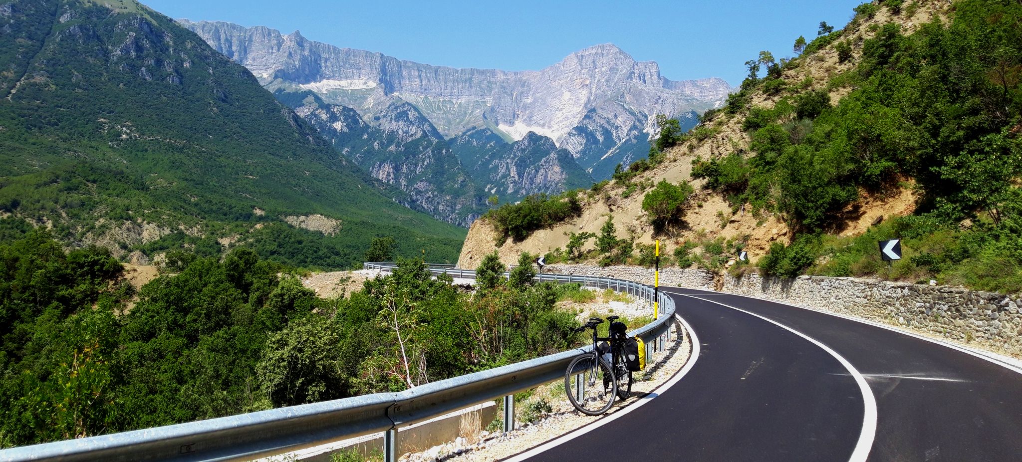
Bus station hiking trails in the Mount Nemërçkë Mountains traverse a landscape characterized by high peaks, deep river valleys, and karstified limestone ridges. This range, situated in Southern Albania, features elevations up to 2,482 meters, with significant peaks like Maja e Papingut. The region's diverse Mount Nemërçkë hiking terrain includes dense forests, subalpine grasslands, and rapid streams. Traces of Quaternary glaciations are evident in cirques above 1,700 meters on the eastern slopes.
Best bus station hiking trails in the Mount Nemërçkë Mountains
- The most popular bus station hiking route is Leus Village – Church of Saint Mary of Leusa loop from Përmet, a 2.6 miles (4.2 km) trail that takes 1 hour 22 minutes to complete. This easy route winds through traditional villages and past cultural sites.
- Another top favourite among local hikers is Kadi Bridge – Bënja Thermal Springs loop from Përmet, a difficult 17.8 miles (28.7 km) path. This route explores the Vjosa River valley, passing the historic Kadi Bridge and natural thermal springs.
- Local hikers also love the Voidomatis River – Kleidonia Stone Bridge loop from Αρίστη, a 10.0 miles (16.1 km) trail leading through river valleys and past stone bridges, often completed in about 4 hours 33 minutes.
- Hiking in the Mount Nemërçkë Mountains is defined by high peaks, limestone ridges, and deep river valleys. The network offers options for various ability levels, from easy village walks to challenging mountain ascents.
- The routes in Mount Nemërçkë Mountains are highly rated by the komoot community with an average score of 4.5 stars from more than 1,500 reviews. Nearly 7,000 hikers have used komoot to explore Mount Nemërçkë Mountains's varied terrain.
Last updated: October 1, 2026
4.6
(18)
60
hikers
4.22km
01:22
180m
180m
Easy hike. Great for any fitness level. Easily-accessible paths. Suitable for all skill levels.
4.7
(12)
85
hikers
27.5km
07:44
510m
510m
Hard hike. Very good fitness required. Sure-footedness, sturdy shoes and alpine experience required.

4.8
(8)
25
hikers
16.2km
04:35
350m
350m
Moderate hike. Good fitness required. Easily-accessible paths. Suitable for all skill levels.
4.2
(9)
32
hikers
11.7km
03:42
450m
450m
Moderate hike. Good fitness required. Easily-accessible paths. Suitable for all skill levels.
3.8
(5)
10
hikers
Moderate hike. Good fitness required. Easily-accessible paths. Suitable for all skill levels.
Get access to more routes and recommendations from other explorers.
Already have an account?
Our route recommendations are based on thousands of hikes, rides, and runs completed by other people on komoot.
Start today with a free account
Your next adventure awaits.
Popular around Mount Nemërçkë Mountains
Other adventures in the Mount Nemërçkë Mountains

Tips from the Community

On the outskirts of Permet
0
0

The springs are nicely located. Parking spaces are available. You should wear sturdy footwear for the path to the springs.
2
0

Bridge is a bit further than pictured
1
0

The location of the bridge is about 350m further west than shown here.
1
0

The sulphur pool attracts many people, but further back there are a few less visited ones. The walk is worth it.
0
0

The spring flows directly below the hiking trail into the river, where the water is always clear.
0
0

25°C warm sulfurous thermal water invites you to bathe for free. Parking spaces are currently being built. 20250423
1
0
Frequently Asked Questions
How many bus-accessible hiking trails are available in the Mount Nemërçkë Mountains?
There are over 30 bus-accessible hiking trails in the Mount Nemërçkë Mountains, offering a variety of experiences for different skill levels. These routes are specifically curated to start near public transport hubs, making them convenient to access.
Are there any easy, family-friendly hikes accessible by bus in the Mount Nemërçkë Mountains?
Yes, for an easier, family-friendly option, consider the Leus Village – Church of Saint Mary of Leusa loop from Përmet. This 4.2 km route is suitable for all ages and winds through traditional villages, passing cultural sites like the beautifully situated Church of Saint Mary of Leusa.
What kind of natural features can I expect to see on bus-accessible hikes?
The Mount Nemërçkë Mountains are known for their dramatic landscapes. You can expect to encounter towering peaks, karst topography, diverse vegetation, and rapid streams. Some routes, like the Kadi Bridge – Bënja Thermal Springs loop from Përmet, explore the scenic Vjosa Valley and its natural thermal springs.
Are there any bus-accessible routes that feature waterfalls?
Yes, some trails lead to impressive waterfalls. While not directly listed in the provided bus-accessible routes, the region is home to the Waterfall in the Albanian Alps, which is a notable natural feature in the area. You can find routes that pass near or lead to such natural attractions.
What is the best time of year to hike these bus-accessible trails?
The best time to hike in the Mount Nemërçkë Mountains is typically from late spring to early autumn (May to October). During winter (November to April), the mountains are blanketed in snow, and hikers should be aware of potential avalanche risks on western slopes, making many trails more challenging or inaccessible.
Are there any challenging bus-accessible hikes for experienced hikers?
For experienced hikers seeking a challenge, the Kadi Bridge – Bënja Thermal Springs loop from Përmet is a difficult 28.7 km route. It offers significant elevation changes and explores the stunning Vjosa River valley, passing historical sites and natural springs.
Can I find circular bus-accessible routes in the Mount Nemërçkë Mountains?
Yes, many of the bus-accessible routes are designed as circular loops, allowing you to start and end your hike at the same public transport point. Examples include the Church of Saint Mary of Leusa – Leus Village loop from Përmet and the Voidomatis River – Kleidonia Stone Bridge loop from Αρίστη.
What do other hikers enjoy most about the bus-accessible trails in this region?
The area is highly rated by the komoot community, with an average score of 4.5 stars. Reviewers often praise the magnificent panoramic views across the mountain range, the diverse landscapes, and the convenience of accessing these trails directly from bus stations.
Are there any specific landmarks or points of interest along these bus-accessible routes?
Yes, several routes pass by notable landmarks. For instance, the Kadi Bridge – Bënja Thermal Springs loop from Përmet takes you past the historic Kadi Bridge and the natural Benja Hot Springs. The Leus Village – Church of Saint Mary of Leusa loop from Përmet features the beautiful Church of Saint Mary of Leusa.
Are dogs allowed on the bus-accessible hiking trails in the Mount Nemërçkë Mountains?
Generally, dogs are welcome on hiking trails in the Mount Nemërçkë Mountains. However, it's always advisable to keep them on a leash, especially in areas with livestock or wildlife, and to check for any specific local regulations or protected areas that might have restrictions before you go.
Are there any moderate bus-accessible hikes available?
Yes, there are several moderate options. The Voidomatis River – Kleidonia Stone Bridge loop from Αρίστη is a moderate 16 km route, offering a balanced challenge. Another moderate choice is the Church of Saint Mary of Leusa – Leus Village loop from Përmet, which is 11.5 km long.
Most popular routes in the Mount Nemërçkë Mountains
Most popular attractions in the Mount Nemërçkë Mountains

Get inspired with the komoot mobile app


Explore more
Browse the best Hikes in other regions.
