The best traffic-free bike rides in the Lewis Range
4.7
(19)
705
riders
9
rides
No traffic touring cycling routes in the Lewis Range traverse a landscape characterized by rugged, glaciated topography, towering peaks, and diverse ecosystems. This segment of the Northern Rockies features alpine lakes, waterfalls, and extensive forests, providing varied terrain for cyclists. The region includes parts of Glacier National Park and Waterton Lakes National Park, offering routes through high mountain passes and scenic valleys.
Best no traffic touring cycling routes in the Lewis Range
- The most popular no traffic touring cycling route…
Last updated: September 27, 2026
12.9km
01:16
140m
140m
Easy bike ride. Great for any fitness level. Mostly paved surfaces. Suitable for all skill levels.
12.0km
01:08
70m
70m
Easy bike ride. Great for any fitness level. Mostly paved surfaces. Suitable for all skill levels.

4.36km
00:25
40m
40m
Easy bike ride. Great for any fitness level. Mostly paved surfaces. Suitable for all skill levels.
4.0
(1)
6
riders
Moderate bike ride. Good fitness required. Mostly paved surfaces. Suitable for all skill levels.
11
riders
9.74km
00:42
120m
120m
Easy bike ride. Great for any fitness level. Mostly paved surfaces. Suitable for all skill levels.
Get access to more routes and recommendations from other explorers.
Already have an account?
Our route recommendations are based on thousands of hikes, rides, and runs completed by other people on komoot.
Start today with a free account
Your next adventure awaits.
Popular around Lewis Range

Pacific Northwest National Scenic Trail — From Alpine to Alava through the untamed Northwest
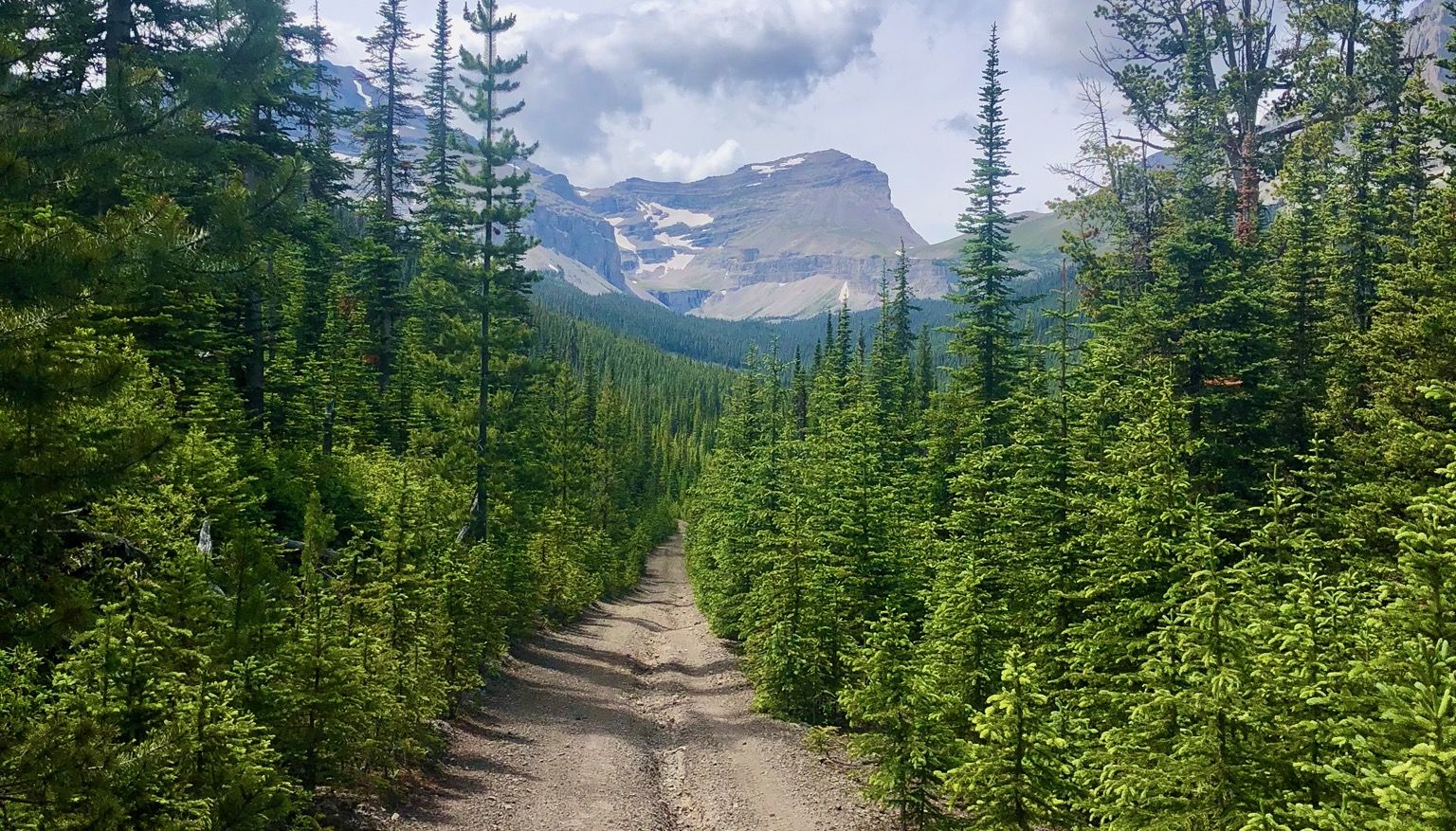
Run the Rockies – mountain range fastpack #5
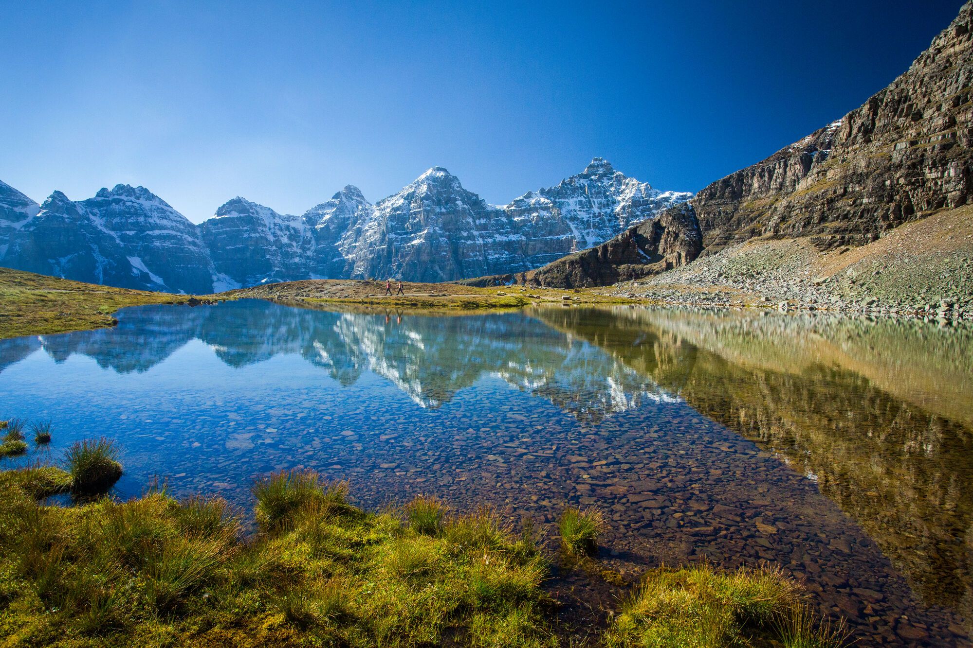
Spectacular road trip hikes – discover Calgary and Southern Alberta
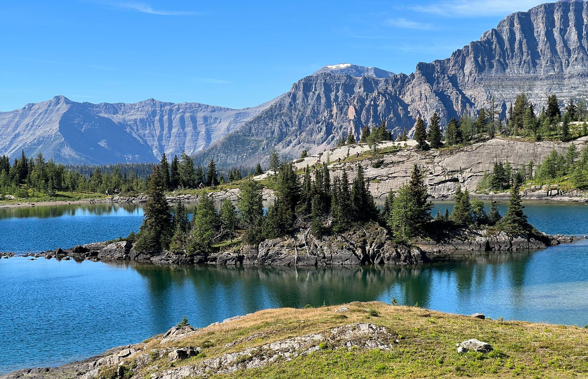
Great Divide Trail – Section A to E: Waterton to Maligne Lake

The pristine beauty of the US National Parks
Other adventures in the Lewis Range


Tips from the Community

This is a great spot to get a fantastic view of Middle Waterton Lake, surrounded by the rugged peaks and forested slopes of Waterton Lakes National Park. As you stand by the lake, the still waters mirror the stunning mountain scenery, inviting you to take a moment to appreciate the beauty of the Waterton Valley.
0
0

Middle Waterton Lake stretches between Canada and the U.S., surrounded by steep mountain walls and blue water. The trails along the shore offer views of both the lake and the peaks rising sharply above it. Whether you’re hiking, paddling, or just taking in the scenery, it’s a stunning place in Waterton Lakes National Park.
0
0

Waterton Lakes National Park lies in southwest Alberta, where the prairies meet the Rocky Mountains in dramatic contrast. The park is known for its deep glacial lakes, rugged peaks, and diverse wildlife, all within a compact area that makes exploring easy. Trails range from short lake walks to steep alpine routes, with highlights including Red Rock Canyon, Crypt Lake, and the views from the Prince of Wales Hotel. As part of the Waterton-Glacier International Peace Park, it showcases both Canada’s mountain beauty and its connection to the broader Crown of the Continent ecosystem.
0
0
The Crandell Lake Trail in Waterton Lakes National Park is a gentle forest hike that leads to a quiet mountain lake tucked between Mount Crandell and Vimy Ridge. The route follows a well-marked path through aspen and evergreen forest, gradually opening to views of the surrounding peaks before reaching the clear, still waters of the lake.
0
0

The visitor center has park maps, ranger programs, a gift shop, restrooms, and exhibits. From here you can take the bike path to the campground, into town, or south on a straight shot to West Glacier.
0
0

Enjoy a mostly level and easy ride through a scenic new growth forest along the picturesque Flathead River. This multi-use trail provides a smooth and enjoyable biking experience, offering stunning views and open spots along the way.
0
0
Here you will find picnic tables, great views of Lake McDonald, and surrounding mountains. This is a great place to stop for a break.
0
0
This quiet path leads you through serene woods, offering a narrow yet pleasant biking experience. It winds through a forest of tall pines, making it a family-friendly multi-use trail.
0
0
Frequently Asked Questions
How many traffic-free touring cycling routes are available in the Lewis Range?
There are 8 dedicated traffic-free touring cycling routes in the Lewis Range featured in this guide. Most of these, 7 to be exact, are rated as easy, making them accessible for various skill levels. One route is considered moderate, offering a bit more challenge.
What is the best time of year to cycle the traffic-free routes in the Lewis Range?
The prime cycling season in the Lewis Range, especially for routes within Glacier National Park, typically runs from mid-June to mid-September. During this period, iconic roads like the Going-to-the-Sun Road are fully open, and the weather is generally most favorable for exploring the high-country sections and enjoying the scenic vistas.
Are there any family-friendly traffic-free cycling routes in the Lewis Range?
Yes, several routes are well-suited for families due to their easy difficulty and traffic-free nature. For instance, the Fish Creek to Apgar Bike Path is a short and gentle option. Another great choice is the Apgar Bike Trail – McDonald Creek loop from Apgar Transit Center, which offers a pleasant ride through scenic areas.
What kind of terrain can I expect on these traffic-free touring cycling routes?
The traffic-free routes in the Lewis Range offer a variety of terrain, from paved bike paths to gravel roads. Many routes, particularly those within Glacier National Park, feature well-maintained surfaces. Expect gentle inclines on easier routes and more significant elevation changes on moderate options like the View of Crandell Lake – Waterton Lakes National Park loop from Waterton Park, which includes some notable climbs.
Are there any notable landmarks or viewpoints along the traffic-free cycling routes?
Absolutely. The Lewis Range is rich with stunning natural features and viewpoints. While specific routes may vary, you can expect to encounter breathtaking mountain vistas, glacial formations, and pristine lakes. Highlights in the broader region include Logan Pass and various scenic points within Glacier National Park. The Inside North Fork Road offers a more secluded experience with opportunities for wildlife viewing.
What are the typical distances and elevations for these traffic-free routes?
The routes vary in length and elevation gain. You'll find shorter, flatter options like the Fish Creek to Apgar Bike Path, which is about 4.3 km with 43 meters of elevation gain. Longer routes, such as the Old Flathead Ranger Station Trail, cover around 12.8 km with 143 meters of ascent. The most challenging route, the View of Crandell Lake – Waterton Lakes National Park loop from Waterton Park, is 24.2 km with 400 meters of climbing.
Is it possible to find circular traffic-free touring cycling routes in the Lewis Range?
Yes, there are circular options available. The Apgar Bike Trail – McDonald Creek loop from Apgar Transit Center is a great example of a traffic-free loop that allows you to start and end at the same point. Another notable loop is the View of Crandell Lake – Waterton Lakes National Park loop from Waterton Park, offering a scenic journey through both natural beauty and park infrastructure.
What do other touring cyclists say about the traffic-free routes in the Lewis Range?
The Lewis Range is highly rated by the komoot community, with an average score of 4.7 out of 5 stars from 18 ratings. Reviewers often praise the stunning natural beauty, the feeling of solitude on traffic-free paths, and the well-maintained surfaces that make for enjoyable touring cycling experiences.
Are there opportunities for wildlife viewing on these routes?
Yes, the diverse ecosystems of the Lewis Range provide ample opportunities for wildlife observation. While cycling, especially on quieter routes like the Inside North Fork Road, you might spot moose, deer, and various bird species, including bald eagles. Remember to maintain a safe distance and never disturb wildlife.
Are there any specific considerations for cycling in Waterton Lakes National Park?
Waterton Lakes National Park, part of the Waterton-Glacier International Peace Park, offers unique international touring experiences. Routes like the View of Crandell Lake – Waterton Lakes National Park loop from Waterton Park provide stunning views and a chance to explore both sides of the border. Be aware of park regulations, potential border crossing requirements, and seasonal road closures, especially for higher elevation sections.
Where can I find parking for these traffic-free touring cycling routes?
Parking availability varies by route. For routes within Glacier National Park, designated parking areas are typically available at trailheads or visitor centers, such as near Apgar Village for routes like the Apgar Bike Trail – McDonald Creek loop from Apgar Transit Center. In Waterton Lakes National Park, parking is usually found near the park entrance or specific attractions. Always check park websites for current parking information and any fees.
Most popular routes in the Lewis Range
Most popular attractions in the Lewis Range

Get inspired with the komoot mobile app


Explore more
Browse the best Cycling routes in other regions.
