The best hikes from bus stations in Hautes-Pyrénées
4.5
(13219)
133,983
hikers
480
hikes
Bus station hiking trails in Hautes-Pyrénées traverse a diverse landscape within the French Pyrenees, characterized by high mountain peaks, glacial cirques, and numerous lakes. The region includes a significant portion of the Pyrénées National Park, offering varied terrain from lower valleys to elevations exceeding 3000 meters. Hikers can expect a network of trails passing through dense forests, alongside rivers, and across open alpine meadows. This area provides access to both challenging high-altitude routes and more accessible paths.
Best bus station…
Last updated: May 16, 2026
4.7
(89)
1,592
hikers
4.95km
01:41
250m
250m
Easy hike. Great for any fitness level. Easily-accessible paths. Suitable for all skill levels.
3.0
(2)
6
hikers
23.4km
09:08
1,320m
1,320m
Hard hike. Very good fitness required. Sure-footedness, sturdy shoes and alpine experience required.

Sign up for free
4.8
(112)
908
hikers
18.9km
06:05
820m
820m
Hard hike. Very good fitness required. Easily-accessible paths. Suitable for all skill levels.
4.7
(115)
788
hikers
8.55km
02:45
310m
310m
Moderate hike. Good fitness required. Mostly accessible paths. Sure-footedness required.
4.8
(74)
629
hikers
10.9km
03:34
490m
490m
Moderate hike. Good fitness required. Easily-accessible paths. Suitable for all skill levels.
Get access to more routes and recommendations from other explorers.
Sign up for free
Already have an account?
Our route recommendations are based on thousands of hikes, rides, and runs completed by other people on komoot.
Start today with a free account
Your next adventure awaits.
Login or Signup
Popular around Hautes-Pyrénées
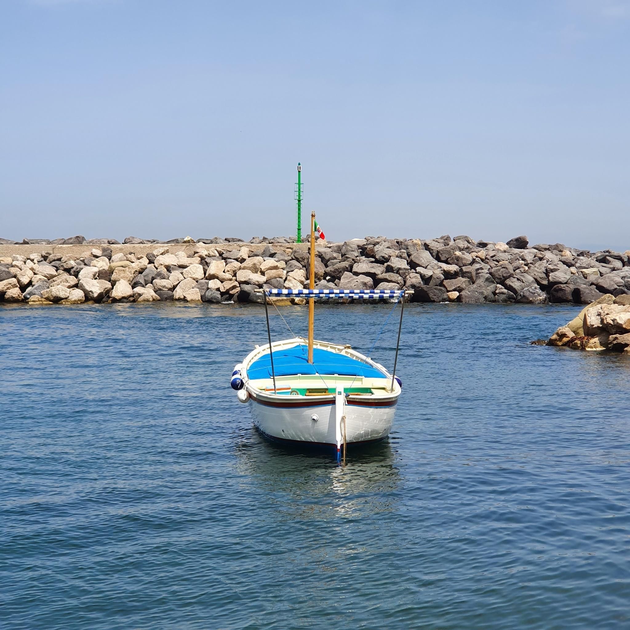
Hikes from bus stations in Pyrénées
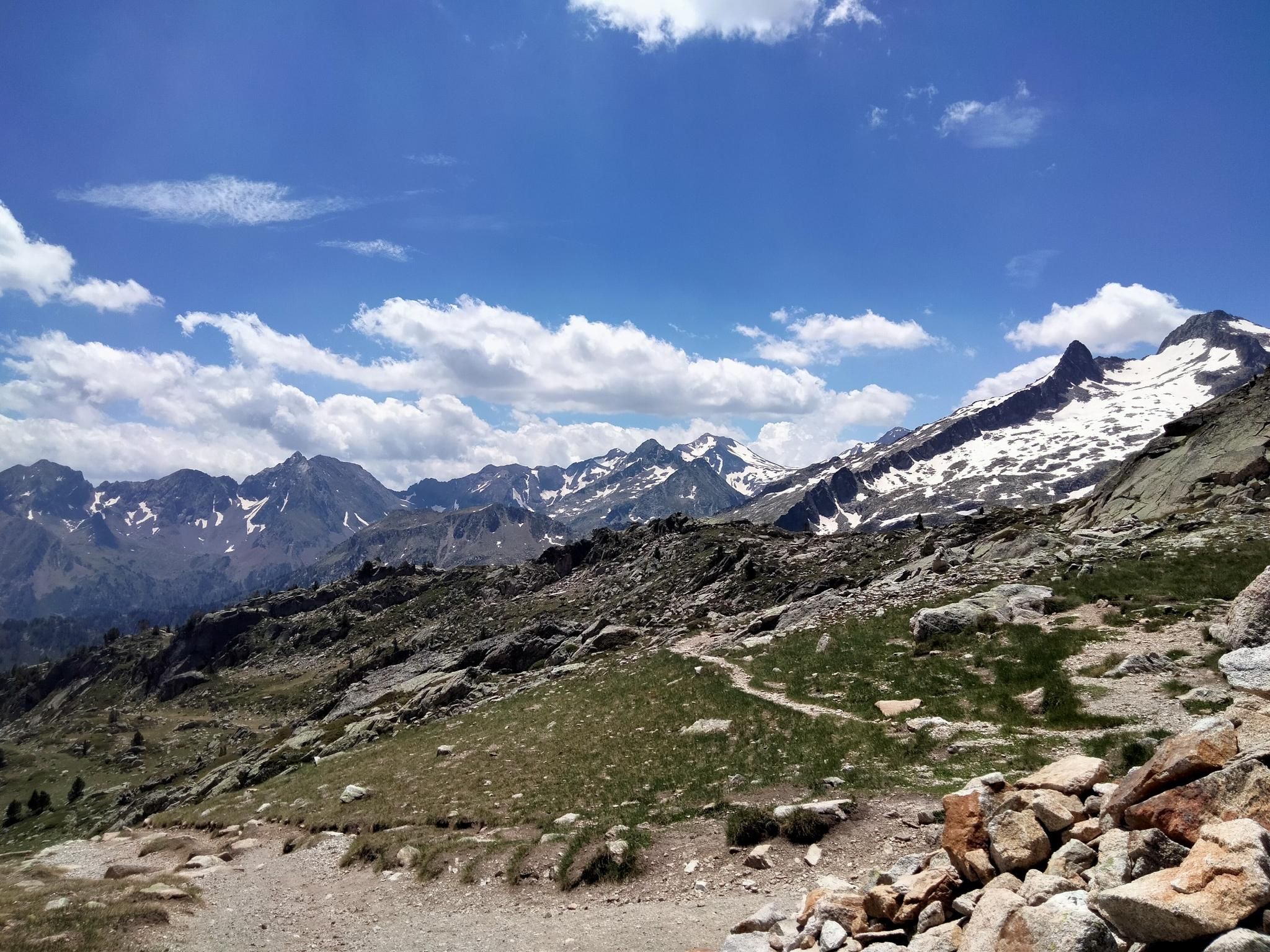
Hexatrek, the western and central Pyrenees – Between mountains and the ocean
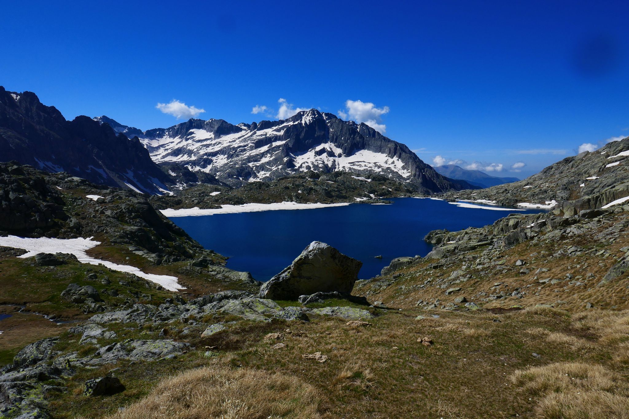
GR 10 – Central Pyrenees crossing the Pyrenees
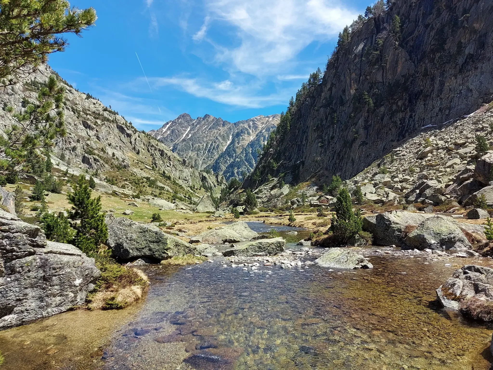
Tour of the Balaïtous – From passes to lakes

Panoramic Pyrenees – 15 hikers' peaks of over 3,000 metres
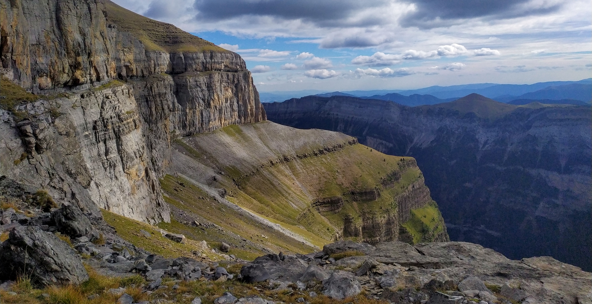
Hike from Gavarnie to Ordesa – A breathtaking loop in the cirques

Haute Route Pyrénéenne – Pyrenees Crossing
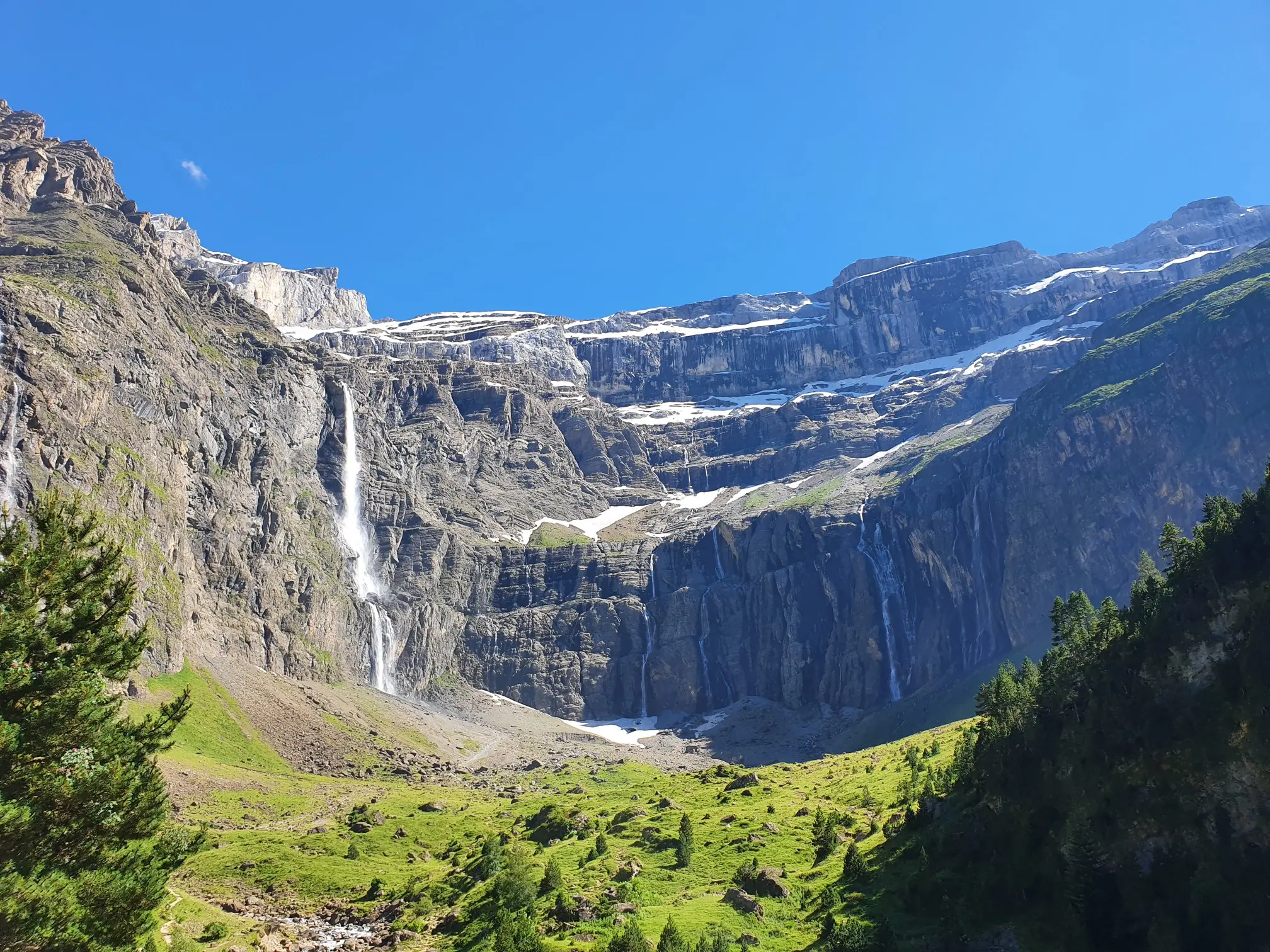
In the heart of the massif – the best hikes in the Central Pyrenees
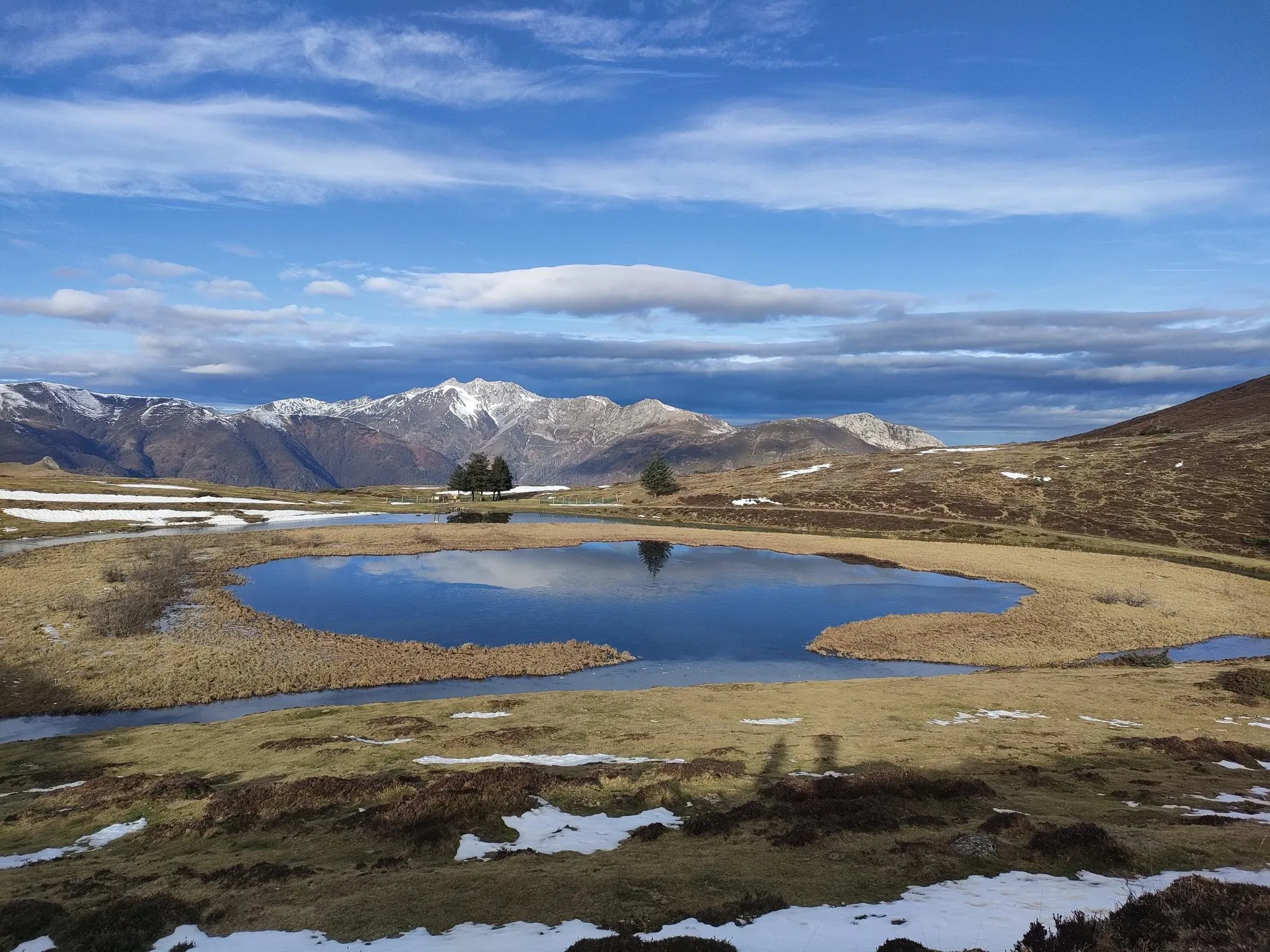
Ridges and valleys – Tour du Val d’Azun in southern France
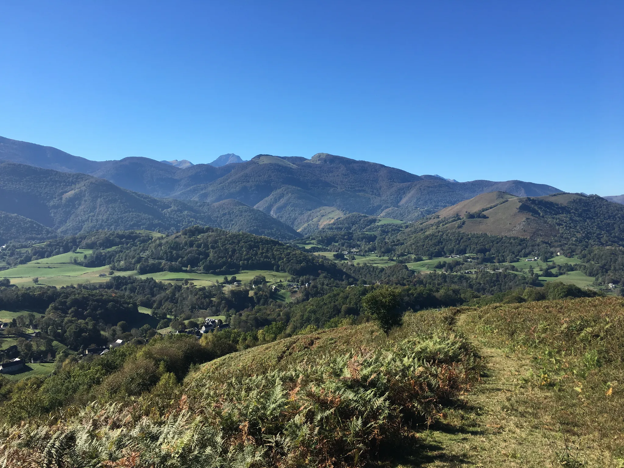
In the footsteps of pilgrims – GR 78, Pyrenean foothills route
Other adventures in Hautes-Pyrénées


Tips from the Community


For your information, historically this was the arrival station for the cable car. It operated until the installation of the television and radio relay. After a storm, it's not uncommon for the relay to go into standby mode. TDF has a contract that runs from Monday to Friday. In case of a power outage, the weekend is reserved for reading or playing board games.
0
0

map with fares for the cable car and chairlift to Lac de Gaube.
0
0
One of the many waterfalls at the Pont d'Espagne.
0
0

So beautiful and peaceful, and in the background the Vignemale
0
0
Beautiful natural site with impressive waterfalls.
0
0


From the Pont d'Espagne, there are three options for reaching Lake Gaube. Either a wide path that's rather uninteresting except for the fact that it's free of large rocks, so it's passable, I'd say. If it were allowed, a sedan could use it. Or the cable car, or finally this GR (Grade 1) with its rocky terrain. This GR (Grade 1) is sometimes steep, and the natural steps made up of rocks are sometimes high. You need a certain level of fitness and stable footing to climb or descend it easily and safely. If this is your case, this is the most beautiful route to reach Lake Gaube, and it will be a splendid reward.
0
0
Frequently Asked Questions
How many bus station hiking trails are available in Hautes-Pyrénées?
There are over 450 hiking trails in Hautes-Pyrénées that are accessible from bus stations. These routes cater to various skill levels, with 122 easy, 254 moderate, and 85 difficult options.
What kind of natural features can I expect to see on these bus-accessible hikes?
The Hautes-Pyrénées region, especially within the Pyrénées National Park, is rich in natural beauty. You can expect to encounter stunning glacial cirques like the Cirque de Gavarnie, numerous pristine lakes such as Lac de Gaube, Lac d'Orédon, and the Estelat Lakes, as well as impressive waterfalls like the Gavarnie waterfall and the Lutour Waterfall. Many routes offer panoramic views from mountain passes and peaks.
Are there any family-friendly hiking options accessible by bus?
Yes, the region offers several easy and moderate trails suitable for families. An excellent option is the Pont d'Espagne – Lake Gaube loop from Pont d'Espagne, which is an easy 5 km route leading to the beautiful Lac de Gaube. Another moderate choice is the Cauterets – Lutour Waterfall loop from Cauterets, an 8.4 km trail featuring a picturesque waterfall.
Can I find circular hiking routes that start and end at a bus stop?
Many of the trails in Hautes-Pyrénées are designed as circular routes, allowing you to return to your starting point without needing additional transport. For example, the Pont d'Espagne – Lake Gaube loop and the Cauterets – Lutour Waterfall loop are both excellent circular options accessible by bus.
What are some notable landmarks or viewpoints accessible from bus station trails?
You can reach several iconic landmarks and viewpoints. The Cirque de Gavarnie loop from Gavarnie offers breathtaking views of the UNESCO World Heritage site. For panoramic vistas, consider routes near the Pic du Midi de Bigorre or trails that traverse famous mountain passes like Col du Soulor or Col d'Aspin.
What do other hikers enjoy most about hiking in Hautes-Pyrénées?
The komoot community highly rates the hiking experiences in Hautes-Pyrénées, with an average score of 4.5 stars from over 12,900 ratings. Hikers frequently praise the diverse landscapes, from serene valleys to challenging mountain ascents, and the stunning natural attractions like the numerous lakes and waterfalls.
Are there any challenging hikes accessible by bus for experienced trekkers?
Absolutely. For experienced hikers, the region offers demanding trails like the Pibeste peak from Lourdes, a difficult 23.4 km route with significant elevation gain. Another challenging option is the Along the cliff – Cirque de Gavarnie loop from Gavarnie, a 12.6 km difficult trail with spectacular views.
When is the best time of year to go hiking in Hautes-Pyrénées?
The best time for hiking in Hautes-Pyrénées is generally from late spring to early autumn (May to October). During these months, the weather is more stable, and most trails are free of snow. Summer offers warmer temperatures and full access to high-altitude routes, while spring and autumn provide vibrant colors and fewer crowds.
Are there any trails that feature waterfalls?
Yes, the Hautes-Pyrénées is known for its beautiful waterfalls. The Cauterets – Lutour Waterfall loop from Cauterets is a direct way to experience one. The iconic Gavarnie waterfall, one of Europe's highest, is also a highlight of the Cirque de Gavarnie loop.
What kind of terrain can I expect on bus-accessible trails in Hautes-Pyrénées?
The terrain varies significantly, reflecting the region's diverse landscapes. You'll find well-maintained paths in lower valleys, rocky and uneven trails in higher mountain areas, and sometimes forested sections. Trails can range from gentle slopes suitable for leisurely walks to steep ascents and descents on more challenging routes, often involving exposed sections or scree.
Are there any routes that explore valleys or river areas?
Yes, many trails follow the region's picturesque valleys and rivers. The Pont d'Espagne – Gave du Marcadau Valley loop from Pont d'Espagne is a moderate 13 km route that takes you through the beautiful Gave du Marcadau Valley, offering scenic views along the river.
Most popular routes in Hautes-Pyrénées
Most popular attractions in Hautes-Pyrénées

Get inspired with the komoot mobile app


Didn’t find what you were looking for?
Check out more Hikes throughout Hautes-Pyrénées below and find the perfect route in your destination.
Explore more
Browse the best Hikes in other regions.
