The best hikes from bus stations in Ain
4.4
(6604)
44,923
hikers
873
hikes
Hiking in Ain, France, offers a diverse landscape for outdoor exploration. The region is characterized by its varied topography, including the Jura Mountains to the west, the Dombes plateau, and the fertile Bresse plain. Hikers can expect a mix of forested areas, river valleys, and agricultural lands, providing a range of elevation changes and scenic views. The department's natural features include numerous lakes and rivers, contributing to a rich environment for bus station hiking trails.
Best bus station hiking trails…
Last updated: May 16, 2026
4.6
(15)
171
hikers
13.4km
05:26
810m
810m
Hard hike. Very good fitness required. Mostly accessible paths. Sure-footedness required.
4.6
(49)
388
hikers
8.22km
02:11
80m
80m
Moderate hike. Good fitness required. Easily-accessible paths. Suitable for all skill levels.

Sign up for free
4.6
(50)
385
hikers
6.79km
01:48
70m
70m
Easy hike. Great for any fitness level. Easily-accessible paths. Suitable for all skill levels.
4.8
(38)
252
hikers
9.46km
02:48
270m
270m
Moderate hike. Good fitness required. Easily-accessible paths. Suitable for all skill levels.
4.5
(23)
309
hikers
4.07km
01:21
200m
200m
Easy hike. Great for any fitness level. Easily-accessible paths. Suitable for all skill levels.
Get access to more routes and recommendations from other explorers.
Sign up for free
Already have an account?
Our route recommendations are based on thousands of hikes, rides, and runs completed by other people on komoot.
Start today with a free account
Your next adventure awaits.
Login or Signup
Popular around Ain
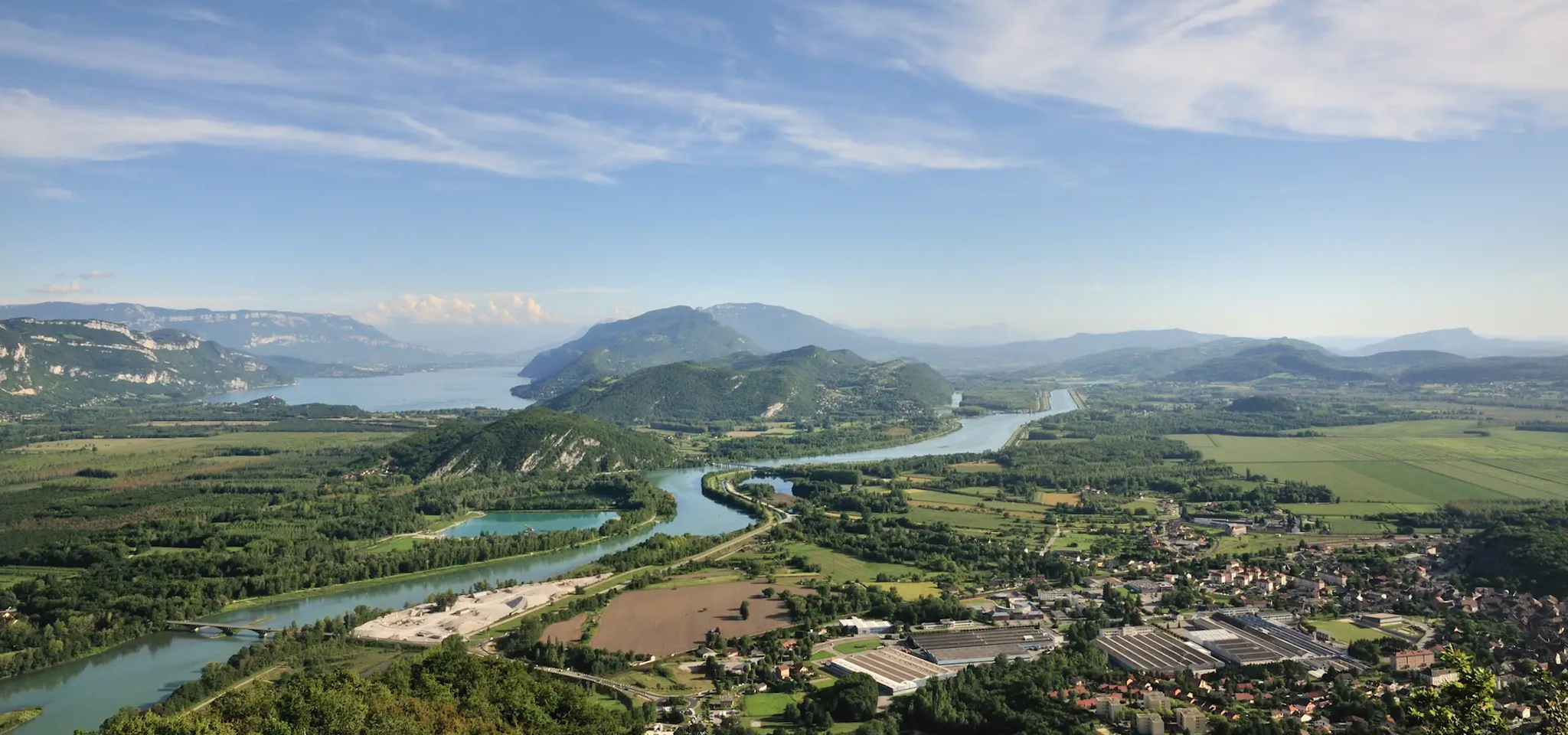
GR 9 from the Jura to the Mediterranean – Crossing contrasts
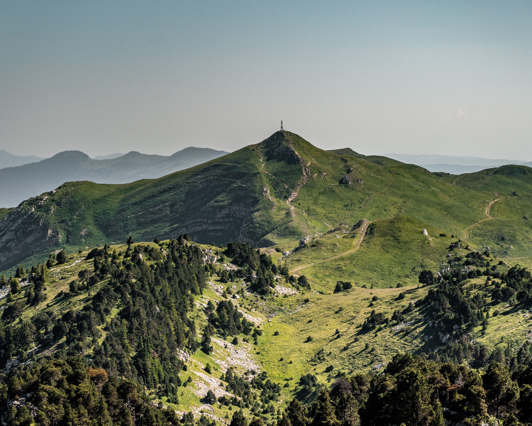
GRP Grand Tour de la Valserine
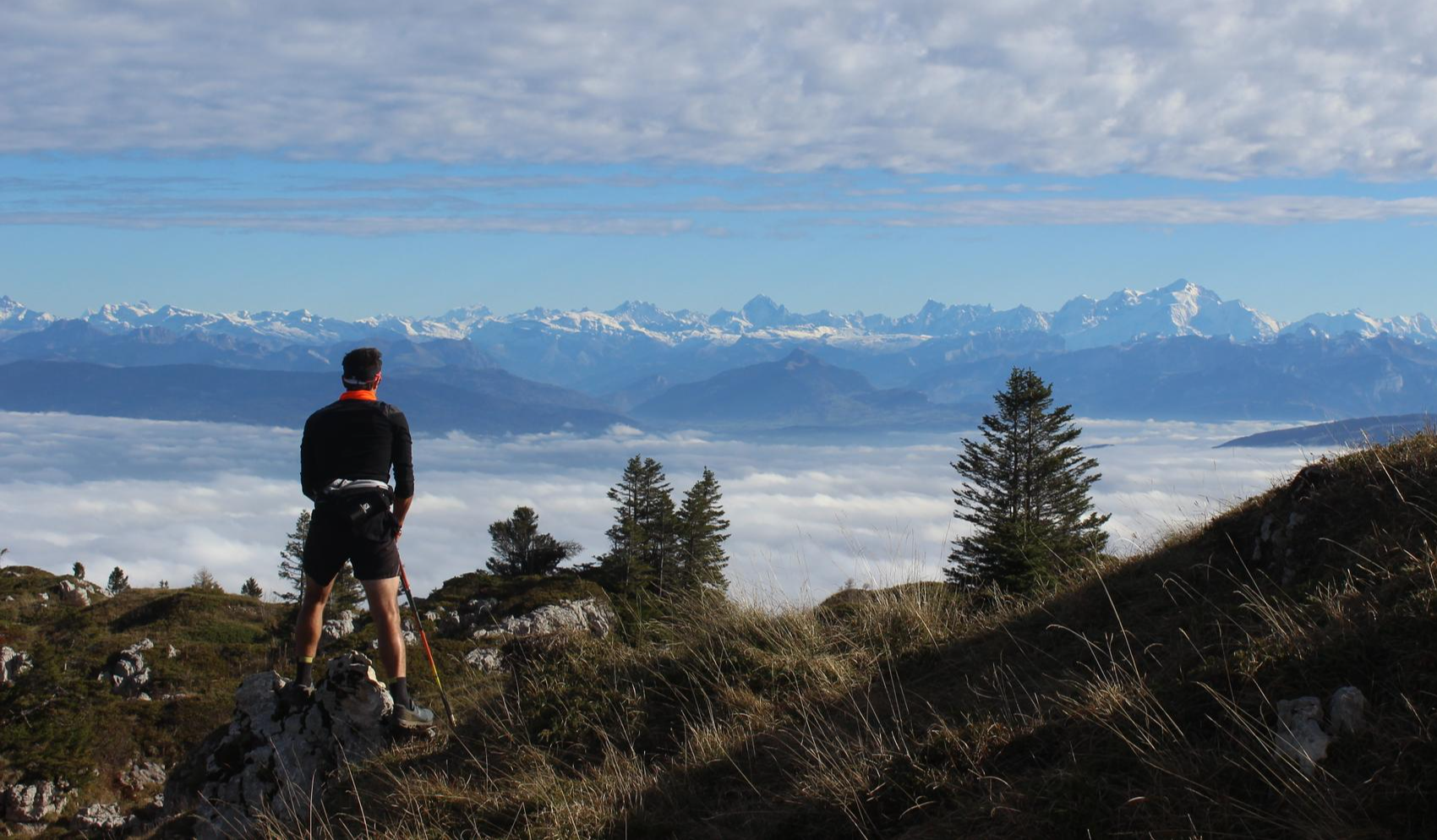
From Crêts to Combes
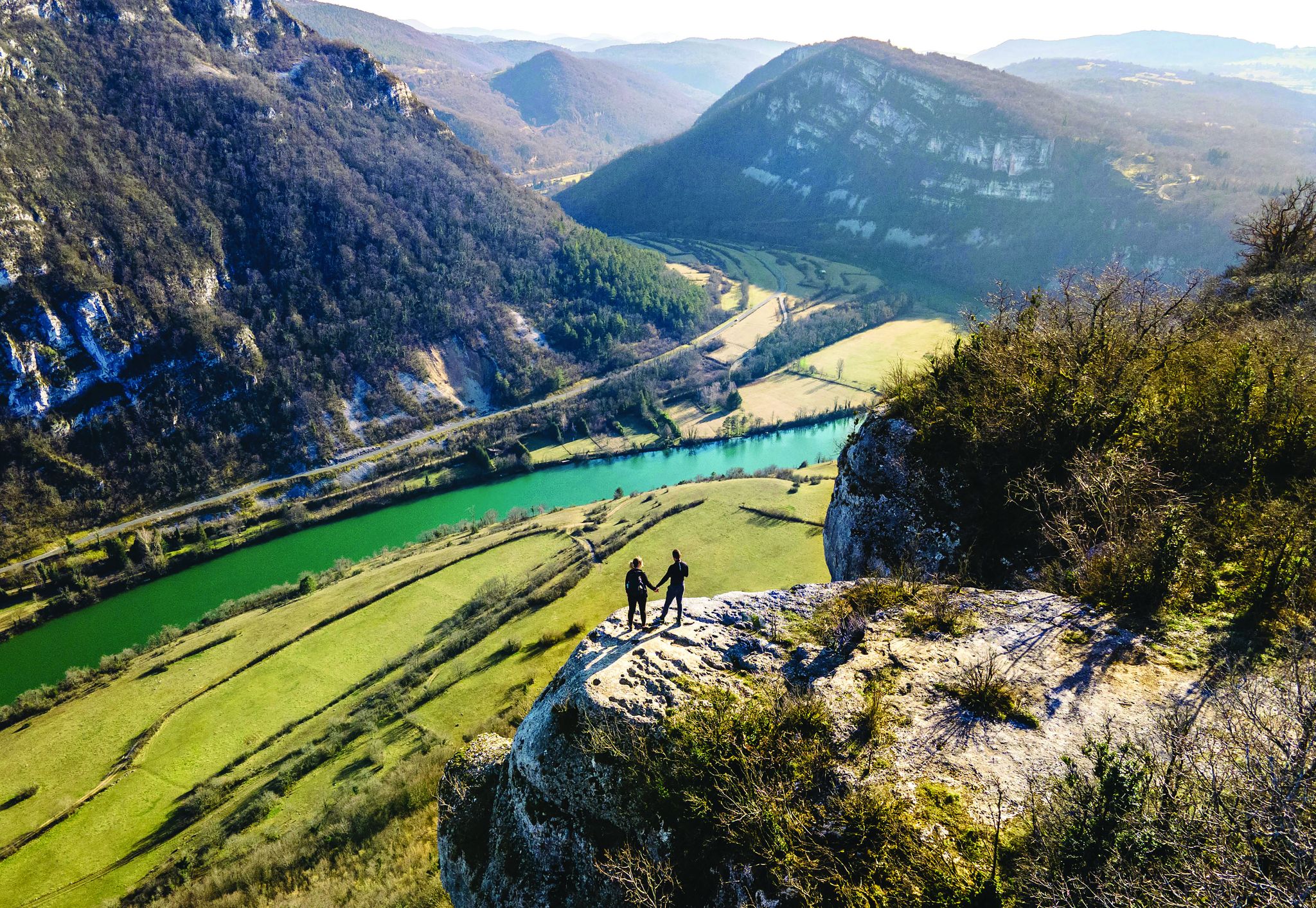
Secrets of the Ain – 10 wonderful watery hikes

Hiking to the summits – France's highest points
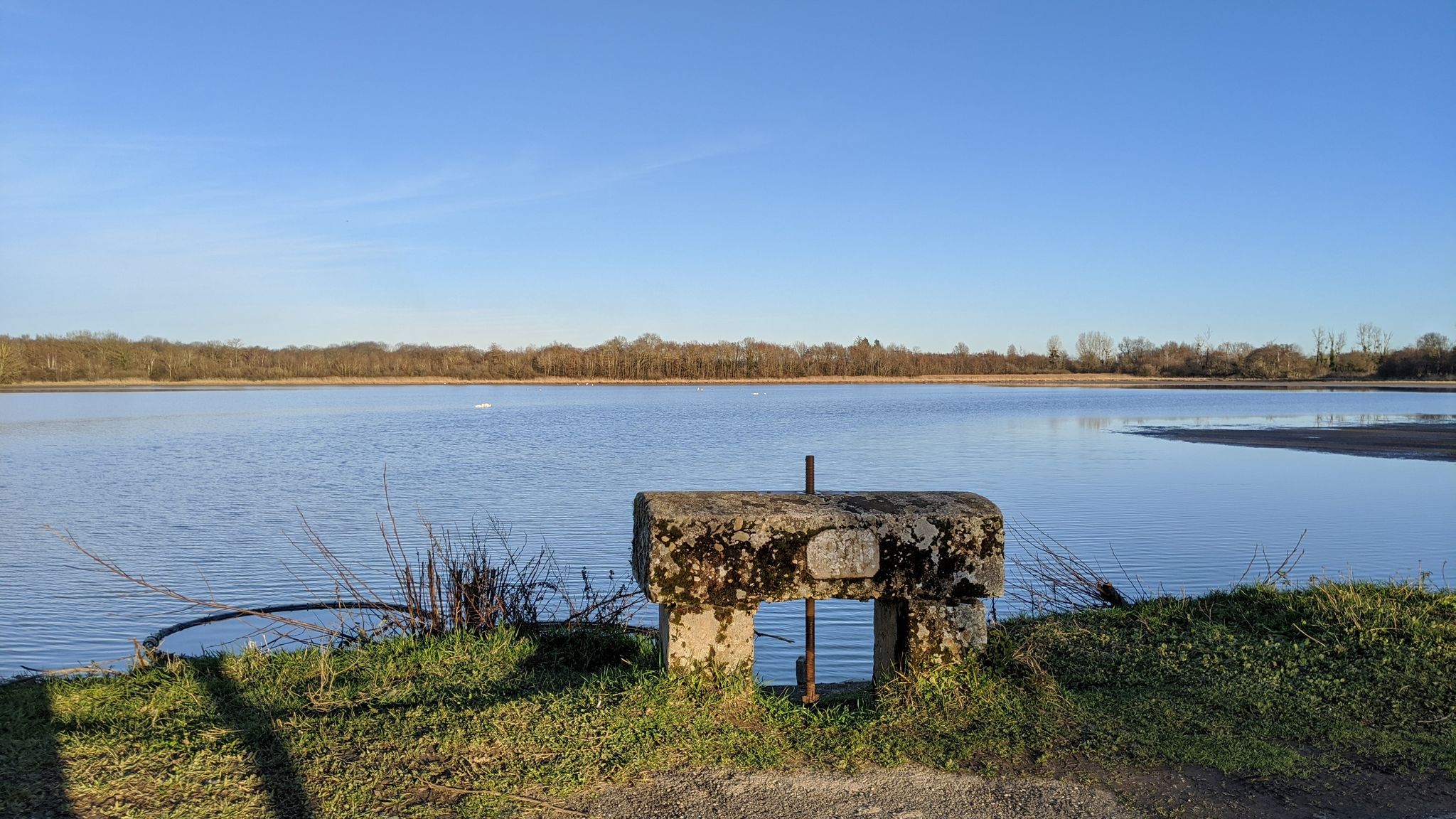
Traverse of the Dombes – GR de pays Beaujolais-Bugey
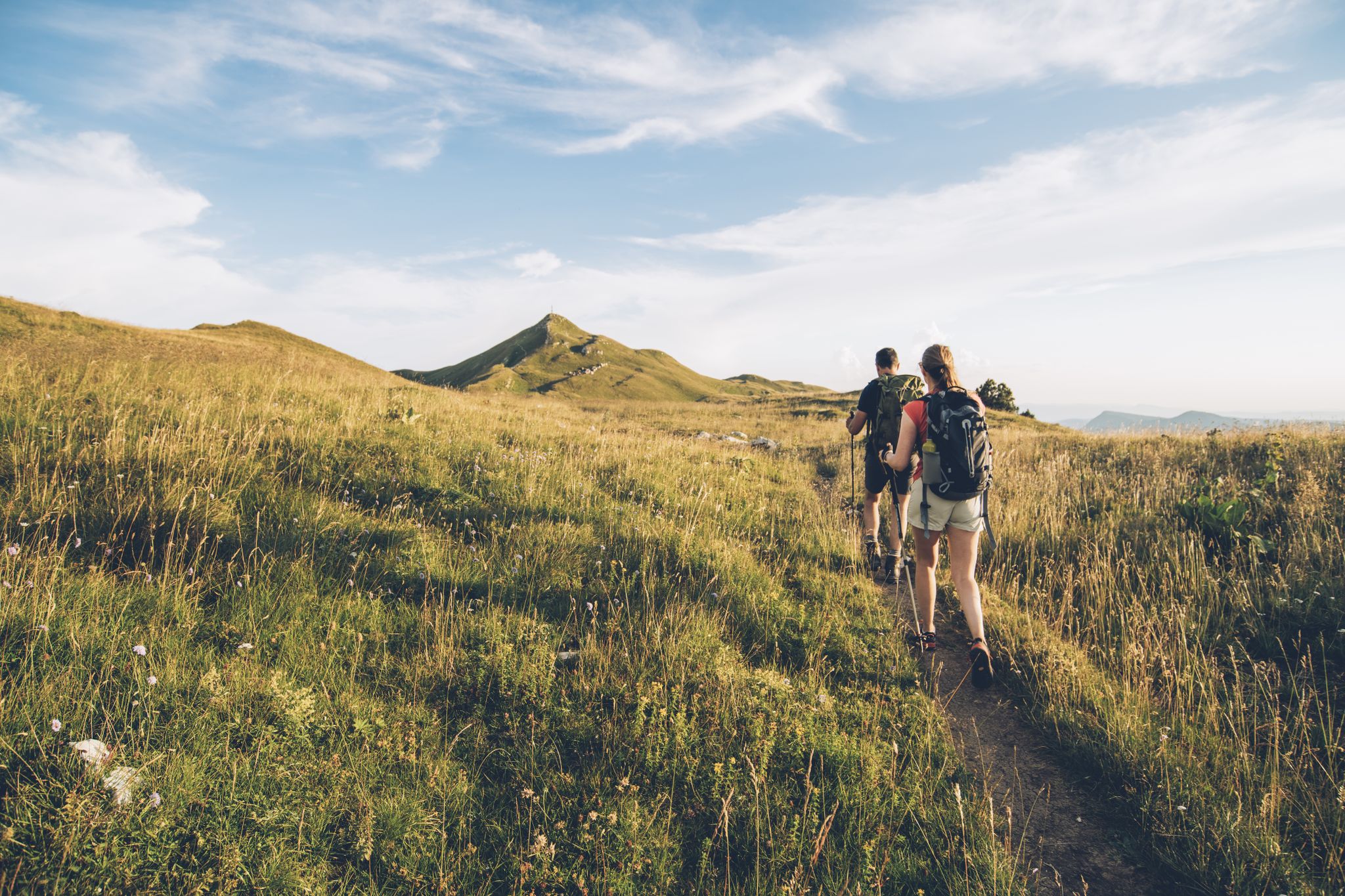
The thousand faces of the Jura Mountains – Grande Traversée du Jura on foot

European Divide Trail — 7,600 km across the continent
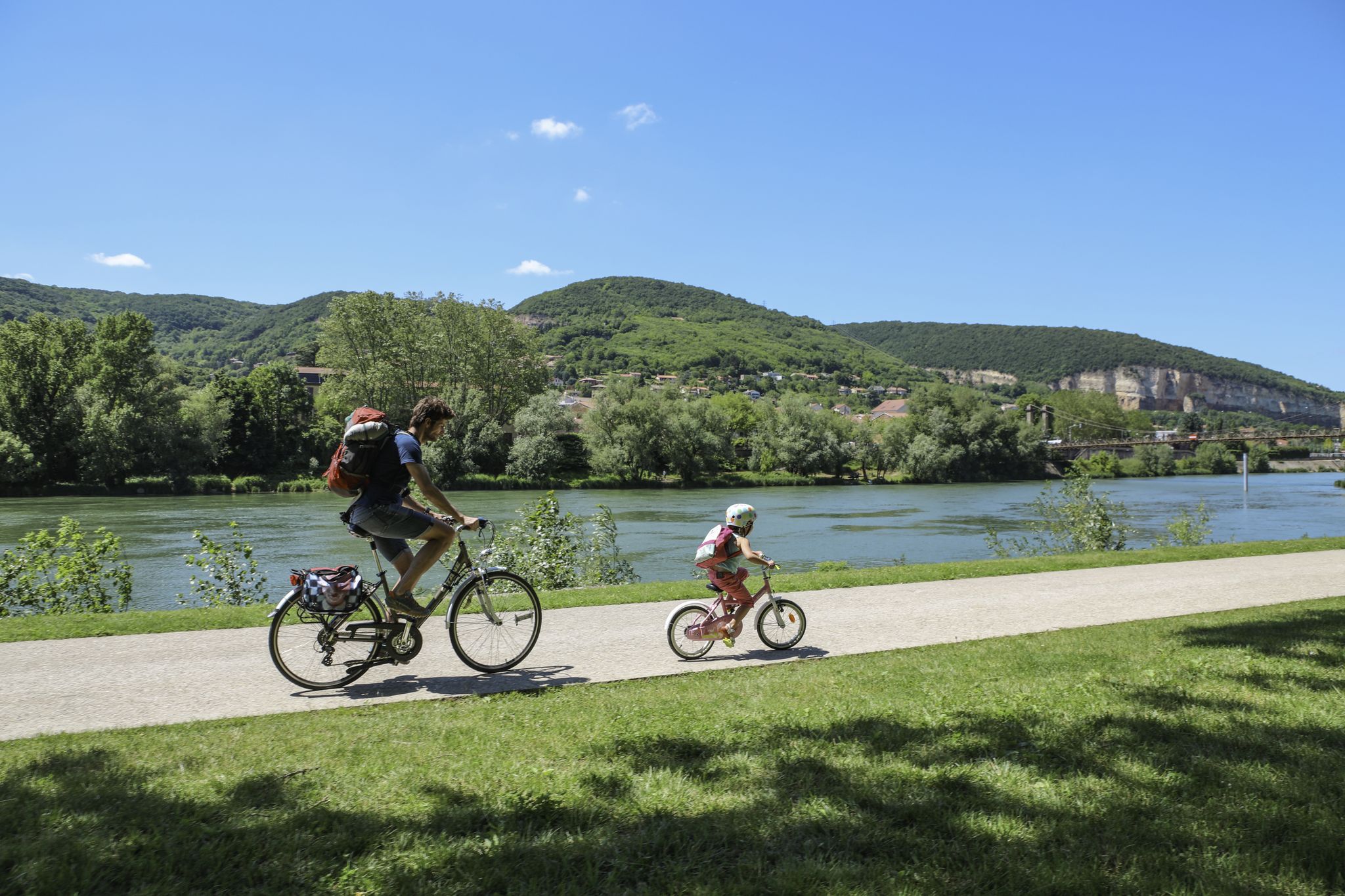
The Voie Bleue – Moselle-Saône by bike
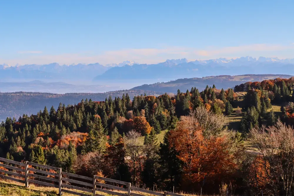
Grande Traversée du Jura en VTT — The Great Crossing of the Jura by MTB
Other adventures in Ain


Tips from the Community

The Lac de Nantua is a superb body of water of 141 hectares. In the heart of the Jura, it offers an ideal setting for practicing a multitude of sports. It is even possible to swim in its waters.
1
0

One of the most beautiful viewpoints over the Alps that I know! Access from the Col de la Faucille is quite simple.
0
0

We are standing on Mont Mourex and looking across the lake to Mont Blanc.
0
0
Summit in the forest, ideal for taking a break
0
0
Beautiful, simple, easy walk; lots of traffic noise on the "road" section, a bit of a shame, but the color of the water is magical
1
0
A very beautiful hike for all levels, with a slight climb at the beginning. The Grand Montrond section is shadeless, so bring water.
0
0

Unfortunately I was unlucky with the weather, but even as I drove past the place looked very nice, lots of grass and a place to swim.
0
0

Frequently Asked Questions
How many hiking trails are accessible from bus stations in Ain?
There are over 800 hiking trails in Ain that are accessible from bus stations, offering a wide variety of options for all skill levels. You can find routes ranging from easy strolls to challenging mountain ascents.
What are the difficulty levels of bus station hikes in Ain?
The trails accessible from bus stations in Ain cater to all abilities. Approximately 269 routes are rated as easy, 457 as moderate, and 98 are considered difficult, providing options for casual walkers and experienced hikers alike.
Are there any circular hiking routes from bus stations in Ain?
Yes, many routes in Ain are circular, allowing you to start and end your hike at the same bus station. An example of a challenging circular route is the Crêt de la Neige Loop Trail, offering stunning views.
What kind of natural features can I expect to see on these hikes?
Ain's bus station hikes offer diverse natural beauty. You can explore majestic summits like Crêt de la Neige and Le Reculet Summit, tranquil lakes such as Lake Nantua, and impressive geological formations like the Thurignin Gorges.
Are there any easy, family-friendly hikes from bus stations?
Absolutely! For an easy, family-friendly option, consider the Lake Nantua – Lake Nantua loop from Port. This route is relatively flat and offers pleasant views, perfect for a leisurely outing with children.
What are some moderate hiking options accessible by bus?
For a moderate challenge, you could try the Panoramic map – Mount Mourex loop from Grilly, which provides scenic vistas. Another great moderate option is the Saracen Gates – Saint-Pierre Church of Gex loop from Gex.
What do other hikers say about the trails in Ain?
The hiking trails in Ain are highly regarded by the komoot community, with an average rating of 4.4 out of 5 stars from over 6,000 reviews. Hikers often praise the diverse landscapes, well-maintained paths, and the accessibility of routes from public transport.
Are there any hikes that feature lakes or water bodies?
Yes, several bus-accessible hikes in Ain feature beautiful lakes. The Lake Nantua – Lac de Nantua loop from Nantua is a fantastic choice for enjoying the serene waters of Lake Nantua.
Can I find routes that go through mountain passes?
Indeed. Ain is home to several notable mountain passes. While specific bus routes directly over them might vary, you can find hikes that lead to or near passes like Col de la Faucille (1323 m) or Col du Grand Colombier, offering spectacular mountain scenery.
What is the best time of year for hiking in Ain?
The cooler months from October to April are generally considered the best time for outdoor activities, including hiking, in the region. During this period, the weather is more pleasant for exploring the diverse landscapes.
Are there any hikes with significant elevation gain for experienced hikers?
For experienced hikers seeking a challenge, the Crêt de la Neige Loop Trail is an excellent option. It features over 800 meters of elevation gain and offers rewarding panoramic views from the summit of Crêt de la Neige, the highest point in the Jura mountains.
Most popular routes in Ain
Most popular attractions in Ain

Get inspired with the komoot mobile app


Explore more
Browse the best Hikes in other regions.
