The best hikes from bus stations in Gorizia
4.4
(2129)
12,598
hikers
307
hikes
Bus station hiking trails in Gorizia traverse a diverse landscape, characterized by the unique Karst plateau, rolling Collio hills, and the Isonzo River valley. The region's terrain includes geological formations, vineyards, and riverside paths, often integrated with significant World War I historical sites. Hikers can explore a mix of natural beauty and historical significance, from tranquil nature reserves to routes with panoramic views.
Best bus station hiking trails in Gorizia
- The most popular bus station hiking route is WWI Karst…
Last updated: August 21, 2026
4.4
(11)
14
hikers
14.2km
03:48
160m
160m
Moderate hike. Good fitness required. Easily-accessible paths. Suitable for all skill levels.
Moderate hike. Good fitness required. Easily-accessible paths. Suitable for all skill levels.

Sign up for free
4
hikers
15.6km
04:15
220m
220m
Moderate hike. Good fitness required. Easily-accessible paths. Suitable for all skill levels.
1
hikers
10.1km
02:55
260m
260m
Moderate hike. Good fitness required. Easily-accessible paths. Suitable for all skill levels.
4.5
(90)
729
hikers
Moderate hike. Good fitness required. Easily-accessible paths. Suitable for all skill levels.
Get access to more routes and recommendations from other explorers.
Sign up for free
Already have an account?
Our route recommendations are based on thousands of hikes, rides, and runs completed by other people on komoot.
Start today with a free account
Your next adventure awaits.
Login or Signup
Popular around Gorizia

Hikes from bus stations around Nature Reservela Focel"Isonzo

Hikes from bus stations around Nature Reserve Laghi Doberdò e Pietrarossa / Naravni rezervat Doberdobskega in P
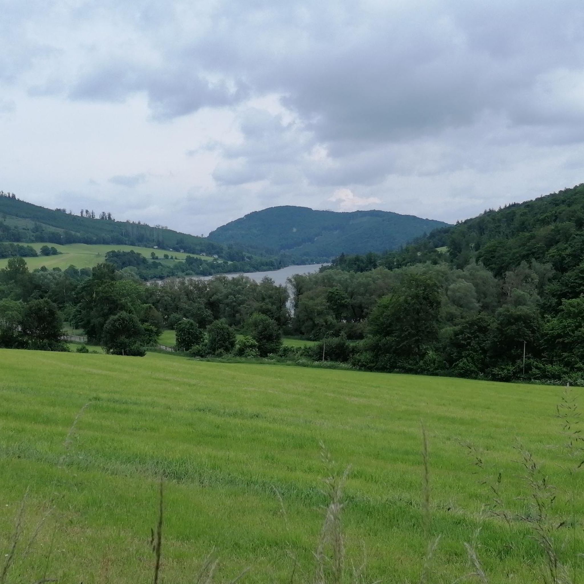
Hikes from bus stations around Laguna di Grado

Hikes from bus stations around Lago di Doberdò / Doberdobsko jezero
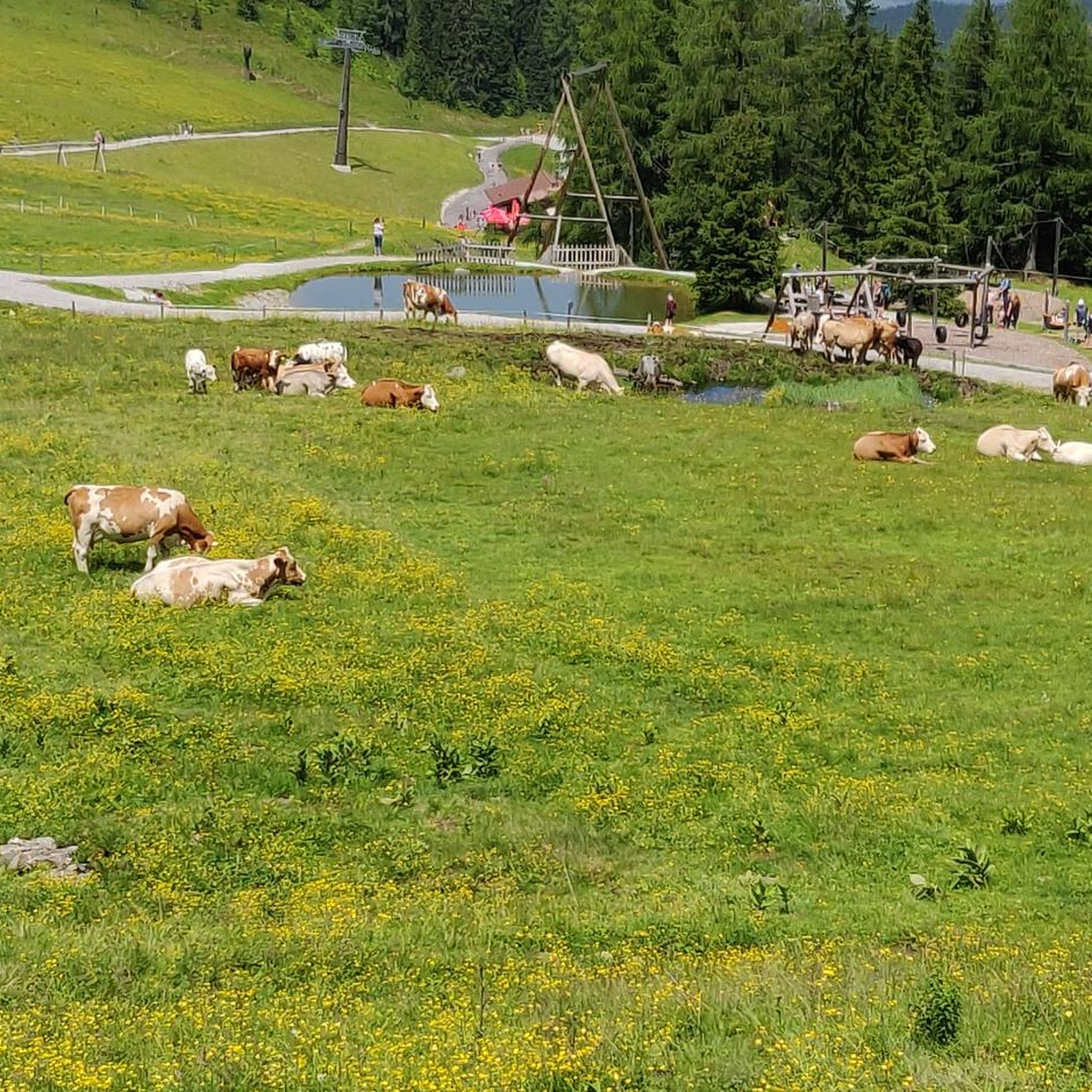
Hikes from bus stations in Riserva Naturale Regionale Della Valle Cavanata

Alpe-Adria-Trail: My long-distance hike from the glacier to the sea
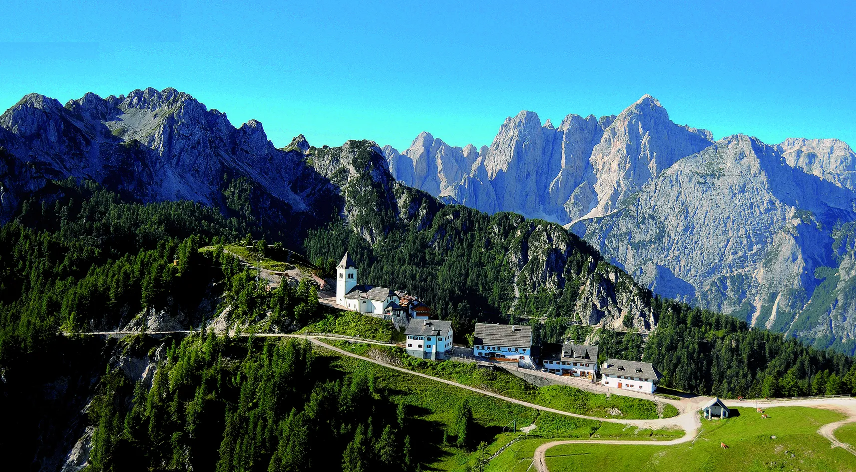
Hike from sea to mountain in northern Italy – Cammino Celeste

From the Grossglockner to the sea on the Alpe Adria Trail
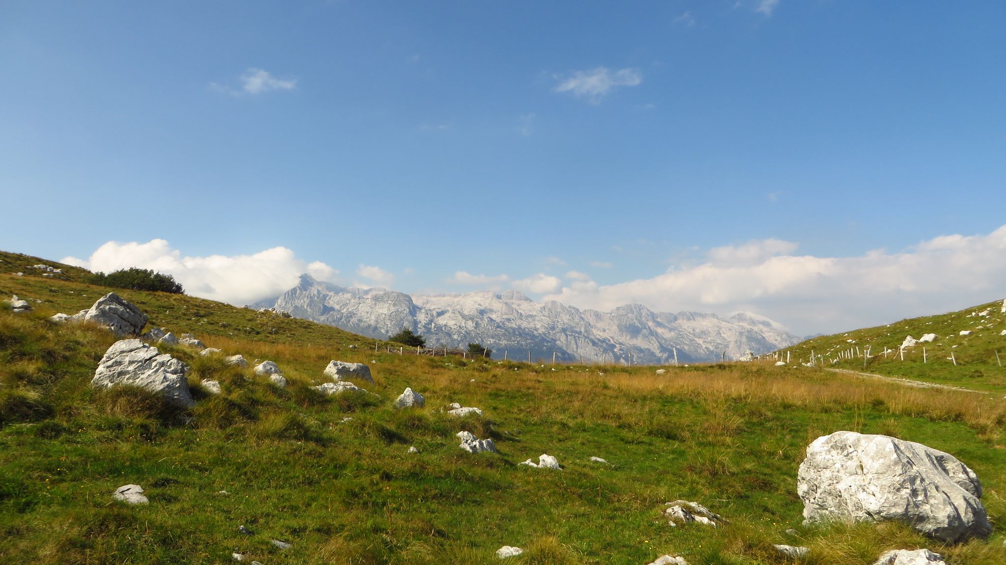
Alpe Adria – MTB Transalp through Slovenia to the Mediterranean Sea
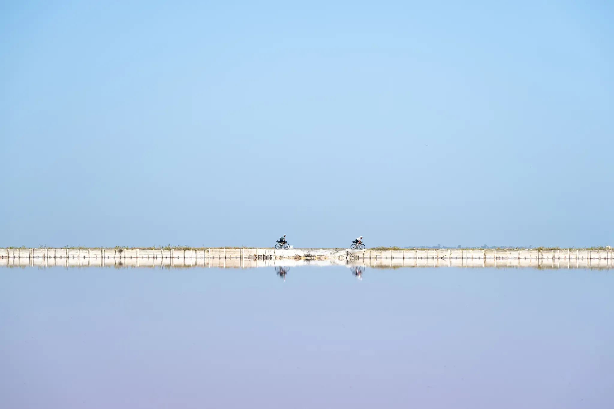
Trieste to Santa Maria di Leuca – the Adriatic Cycle Route
Other adventures in Gorizia


Tips from the Community

Beautiful canal with many moorings
2
0
The canal is even more beautiful at night than during the day
3
0

Once this place was divided not only between two states, but between two opposing and antithetical worldviews... today this place, divided between Italy and Slovenia, tells of a future that transcends the borders of individual states...
0
0

An imaginary line that divides Italy from Slovenia. There was barbed wire; and there a small Berlin Wall would arise: a fence on a half-meter wide concrete base, topped by a meter and a half railing, built along an internal city border line, which separated Italian Gorizia from the peripheral districts and the railway station of piazza della Transalpina, annexed by Tito's Yugoslavia at the end of the war; while on the other side stood Nova Gorica, a mirror image and opposite. And it was precisely the square that, during the Cold War, had become the symbol of the separation of the two Europes, the Western one and the communist one.
0
0
We are in the heart of the First World War Isonzo Front, where thousands of soldiers from both sides met their death... places that should make us reflect
0
0


Gorizia Castle stands atop the hill that once dominated the surrounding area, after which Gorizia is named. The castle is a magnificent symbol of the city's millennial history, offering magnificent views, valuable furnishings, original works of art and handicrafts, and interesting multimedia facilities.
5
0
Europe Square (Trg Evrope / Piazza Transalpina) is dominated by the monumental 1906 train station building, now located in Nova Gorica on the Slovenian side of the border. It was once the northern railway station of Gorizia and is the starting point for journeys to the Soča Valley, the Vipava Valley, and the Karst region. The square has two names: one Slovenian and one Italian. The mosaic in the center of the square was designed by Franko Vecchiet from Trieste, who belongs to the Slovene ethnic group in Italy, to mark Slovenia's accession to the European Union in 2004.
5
0
Frequently Asked Questions
How many hiking trails are accessible from bus stations in Gorizia?
There are over 270 hiking routes in Gorizia that are accessible from bus stations, offering a wide variety of options for all skill levels. This includes 140 easy, 124 moderate, and 7 difficult trails.
What kind of terrain can I expect on bus-accessible hikes in Gorizia?
The terrain around Gorizia is incredibly diverse. You can expect to hike through the unique geological formations of the Karst Plateau, picturesque vineyards in the Collio Hills, and scenic paths along the Isonzo River Valley. Some trails also venture towards the foothills of the Julian Alps, offering more varied and challenging landscapes.
Are there family-friendly hiking options accessible from Gorizia's bus stations?
Yes, many of the 140 easy routes are suitable for families. For a relaxed experience, consider trails around Lagoon Cycle Path between Aquileia and Grado or the Valle Cavanata Regional Nature Reserve, which offer gentle paths and opportunities for birdwatching. The Lago di Doberdò area also provides accessible walks.
Can I bring my dog on these bus-accessible trails?
Many trails in the Gorizia region are dog-friendly, especially those in natural reserves and along river paths. However, it's always recommended to check specific trail regulations, especially within protected areas like the Foce dell'Isonzo Regional Nature Reserve, and to keep dogs on a leash for their safety and to protect local wildlife.
Are there any circular hiking routes starting from Gorizia's bus stations?
Yes, there are several circular routes available. For instance, the Lago di Doberdò ring tour offers a moderate 8.7 km loop through a unique lake environment. Another option is the Great War Loop of the Karst from Redipuglia, which is a moderate 15.6 km circular hike combining natural beauty with historical sites.
What historical sites or natural attractions can I see on these bus-accessible hikes?
Gorizia's trails are rich in history and natural beauty. You can explore numerous World War I sites, including trenches and memorials, particularly on routes like the WWI Karst Trail from Redipuglia to Doberdò del Lago. Natural attractions include the unique Karst plateau, the emerald waters of the Isonzo River, and various lakes and nature reserves. You might also encounter viewpoints like Summit 3 of Monte San Michele or Monte Kremenjak Border Viewpoint.
What is the best time of year to hike from Gorizia's bus stations?
Spring and autumn are generally the best seasons for hiking in Gorizia, offering pleasant temperatures and vibrant landscapes. Spring brings blooming wildflowers, while autumn showcases beautiful fall foliage in the vineyards and forests. Summer can be warm, especially in the open Karst areas, but riverside trails offer cooler options. Winter hikes are possible, particularly on lower elevation trails, but require appropriate gear.
Are there any challenging hikes accessible by bus from Gorizia?
While most bus-accessible routes are easy to moderate, there are 7 difficult trails for experienced hikers. These often lead to higher elevations in the Julian Alps foothills or cover longer distances with significant ascents. Always check the route details for elevation gain and duration before attempting a challenging hike.
Can I find places to eat or drink near the bus stations or along the trails?
Gorizia city center, where the main bus stations are located, offers numerous cafes, restaurants, and pubs. Many villages and towns along the more popular hiking routes also have local eateries where you can refuel. In more remote Karst areas, options might be limited, so it's advisable to carry sufficient water and snacks.
Are there any cross-border hiking opportunities from Gorizia's bus stations?
Yes, Gorizia's unique location on the Italian-Slovenian border allows for cross-border hikes. For example, the route From Gorizia Castle to Italy-Slovenia Border at Piazza Transalpina offers a chance to experience the intertwined history and shared landscapes between the two nations. Other trails connect areas like Šmartno to Nova Gorica.
What do other hikers say about the bus-accessible trails in Gorizia?
The bus-accessible trails in Gorizia are highly rated by the komoot community, with an average score of 4.5 stars. Hikers often praise the region's diverse landscapes, the blend of natural beauty with historical sites, and the well-maintained paths. Many appreciate the convenience of public transport access to such varied outdoor experiences.
Are there any easy, beginner-friendly hikes from Gorizia's bus stations?
Absolutely. With 140 easy routes available, beginners have plenty of choices. Consider gentle walks along the Isonzo River or around Lake Doberdò for a relaxed introduction to hiking in the region. These paths are generally flat and well-marked, perfect for a leisurely stroll.
Most popular routes in Gorizia
Most popular attractions in Gorizia

Get inspired with the komoot mobile app


Didn’t find what you were looking for?
Check out more Hikes throughout Gorizia below and find the perfect route in your destination.
Explore more
Browse the best Hikes in other regions.
