The best hikes from bus stations in Verona
4.5
(35976)
199,843
hikers
1,321
hikes
Bus station hiking trails in Verona offer access to a diverse landscape, characterized by rolling hills, vineyard-covered slopes, and river valleys. The region features varied terrain, from the mountainous ridges of Lessinia and Monte Baldo to the gentler Torricelle hills closer to the city. Hikers can explore areas shaped by the Adige River and discover natural features like waterfalls and ancient geological formations.
Best bus station hiking trails in Verona
- The most popular bus station hiking route is View of Lake Garda – View of Punta San Vigilio loop from Garda, a 7.3 miles (11.7 km) trail that takes 3 hours 33 minutes to complete. This route offers panoramic views of Lake Garda and its surroundings.
- Another top favourite among local hikers is Historic mule tracks through olive groves above Lake Garda, a moderate 5.3 miles (8.6 km) path. This trail winds through historic mule tracks and olive groves, providing scenic views above Lake Garda.
- Local hikers also love the Great Ring of History Trail, a 10.7 miles (17.3 km) trail leading through historical landscapes, often completed in about 4 hours 54 minutes.
- Hiking in Verona is defined by vineyard-covered hills, river valleys, and diverse natural parks. The network offers options for various ability levels, from easy strolls to more challenging ascents.
- The routes in Verona are highly rated by the komoot community with an average score of 4.5 stars from more than 30,000 reviews. More than 170,000 hikers have used komoot to explore Verona's varied terrain.
Last updated: August 21, 2026
4.5
(46)
140
hikers
8.56km
03:13
460m
460m
Historic mule tracks through ancient olive groves above Lake Garda with sacred springs and timeless villages.
4.5
(305)
1,018
hikers
11.7km
03:33
370m
370m
Moderate hike. Good fitness required. Mostly accessible paths. Sure-footedness required.

Sign up for free
4.0
(22)
85
hikers
17.3km
04:53
380m
380m
Hike the moderate 10.7-mile Grande Anello della Storia near Verona, exploring historical sites, vineyards, and scenic hilly terrain.
4.8
(224)
794
hikers
13.1km
04:02
360m
360m
Moderate hike. Good fitness required. Mostly accessible paths. Sure-footedness required.
3.6
(10)
24
hikers
8.68km
02:35
260m
260m
Historic trading route through Cansiglio Forest following ancient Cimbri paths with Venetian boundary stones.
Get access to more routes and recommendations from other explorers.
Sign up for free
Already have an account?
Our route recommendations are based on thousands of hikes, rides, and runs completed by other people on komoot.
Start today with a free account
Your next adventure awaits.
Login or Signup
Popular around Verona

Hikes from bus stations around Lake Garda

Hikes from bus stations around Parco naturale regionale della Lessinia
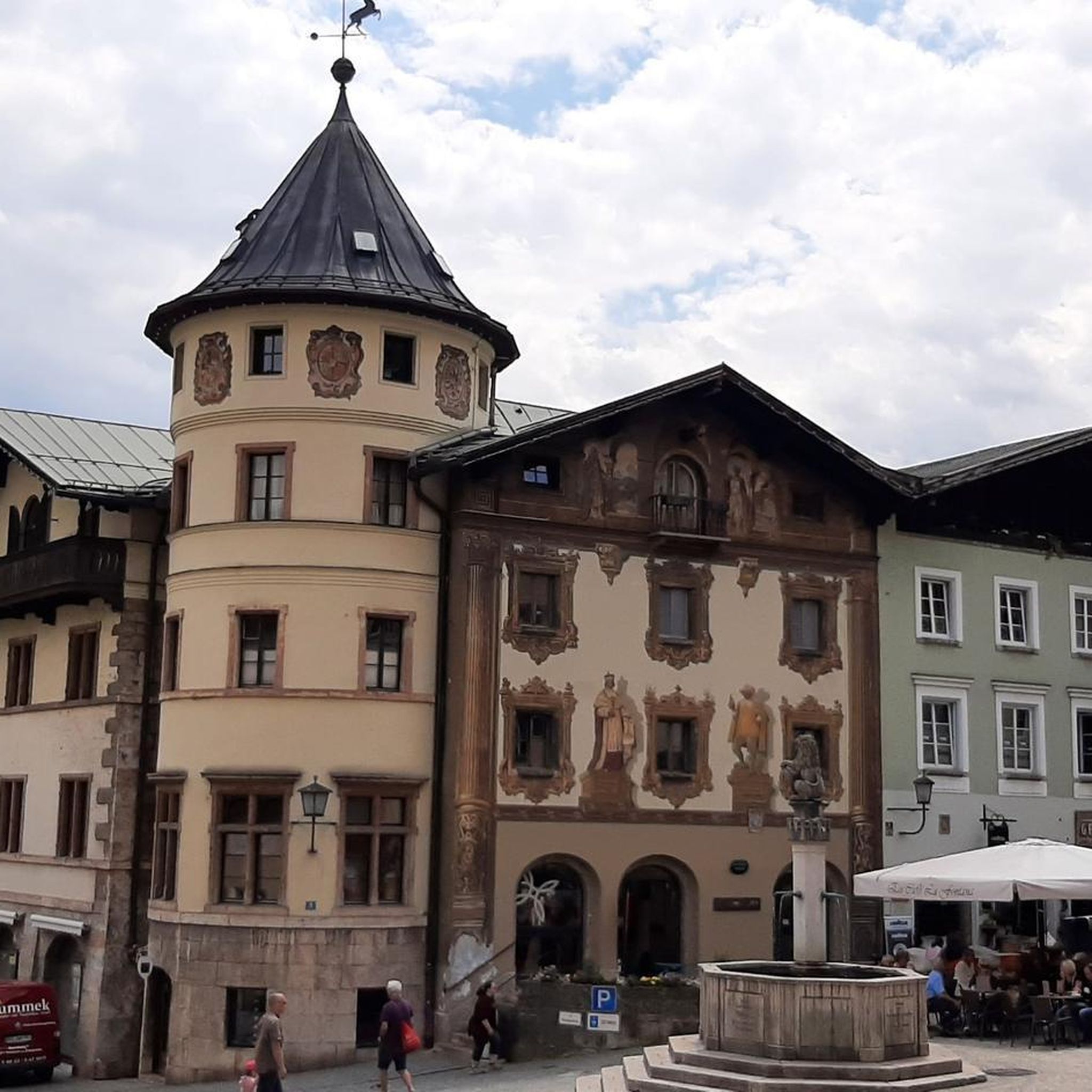
Hikes from bus stations around Laghetto del Frassino
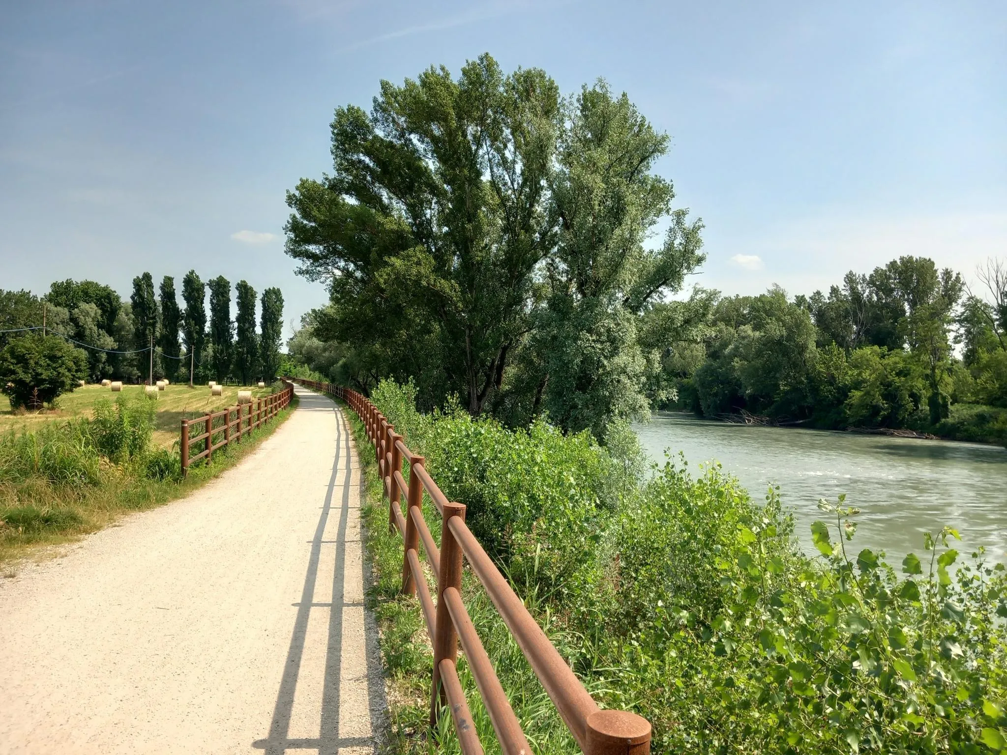
Via Postumia – Hike between the Tyrrhenian and Adriatic seas
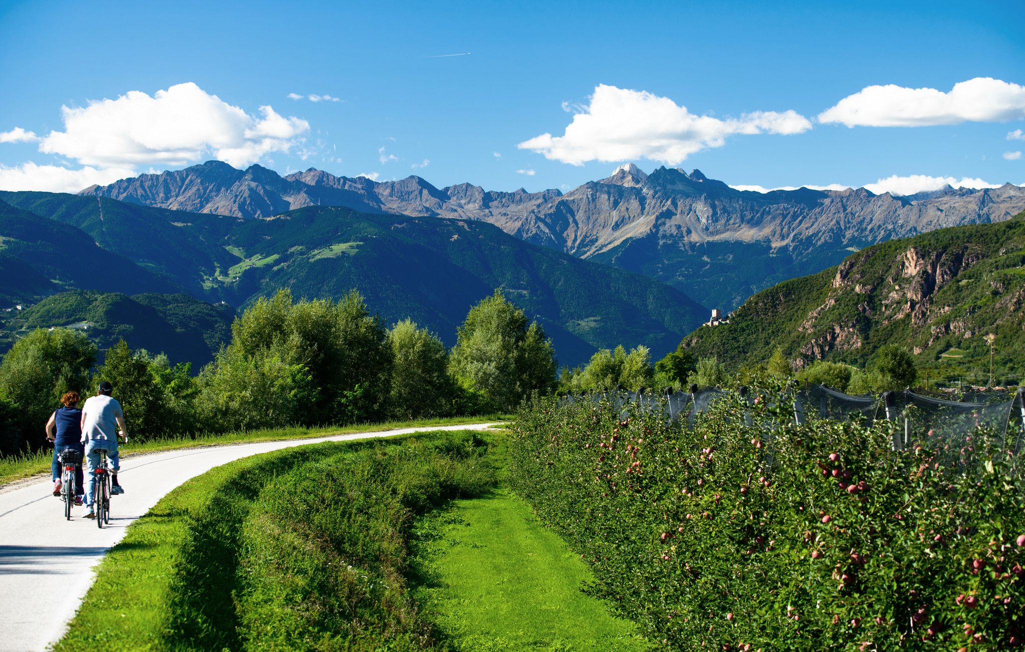
Adige Valley Cycle Path – Through South Tyrol

Road to BAM! 2026 – Condividi la strada
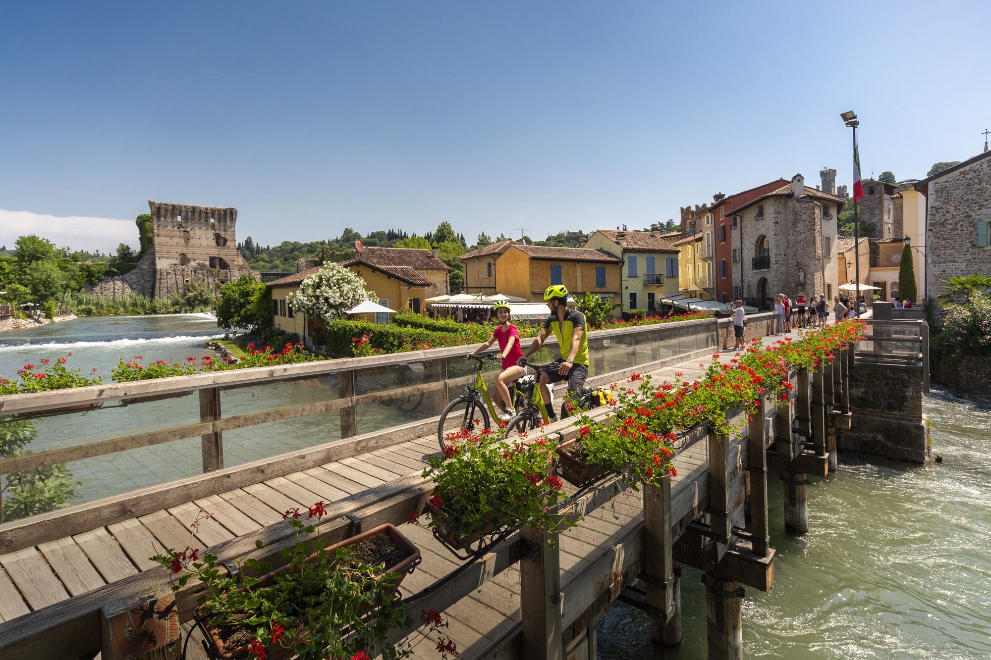
Explore Veneto at a slow pace – day trips by bike
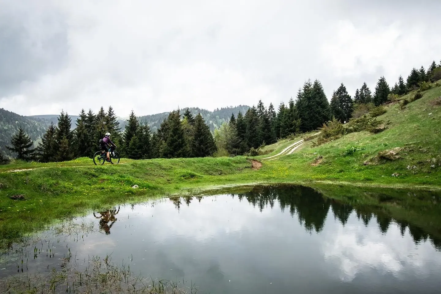
In the mountains a stone's throw from Verona - Lessinia by mountain bike
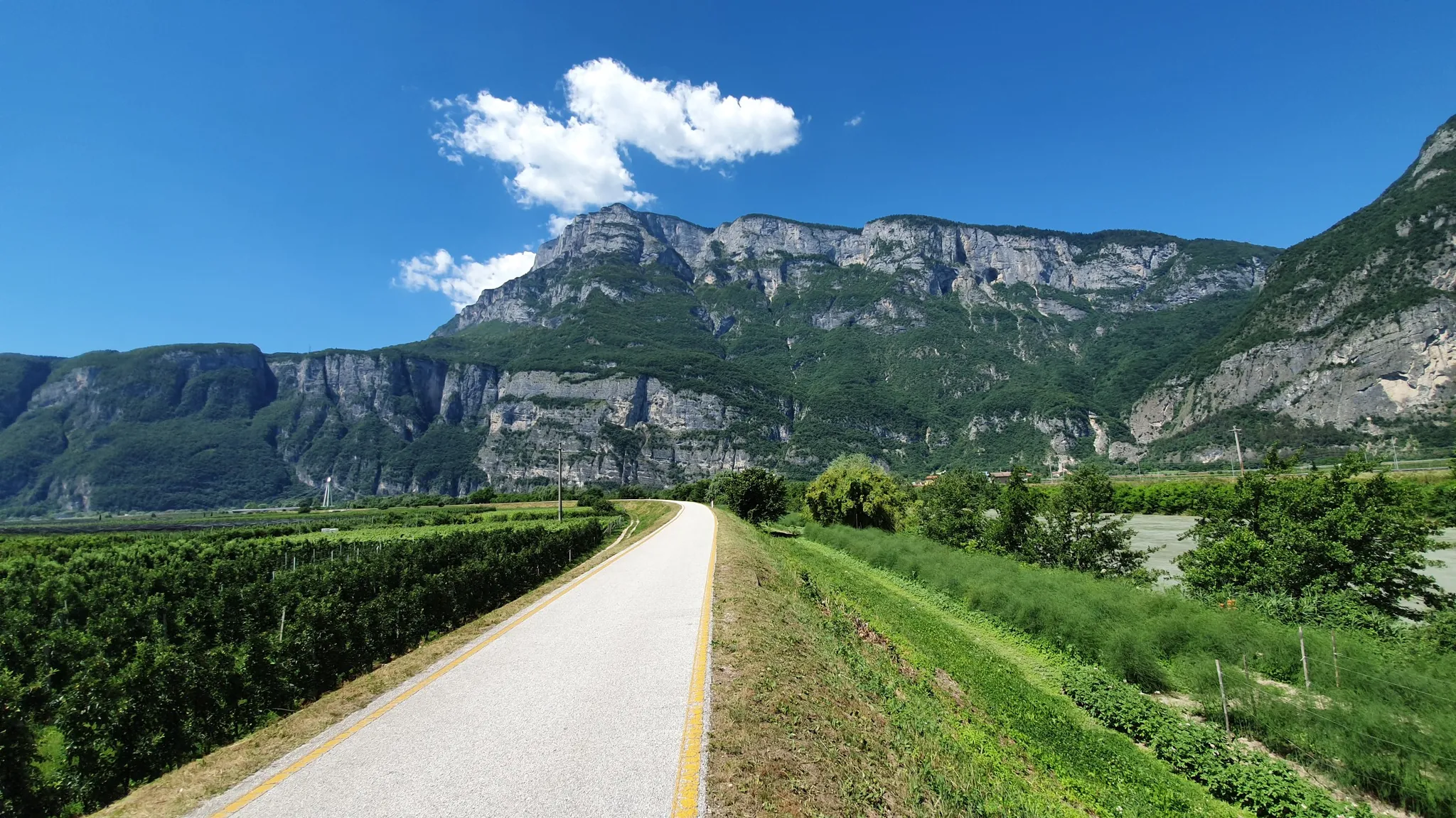
Ride a Roman road in Northern Italy – Claudia Augusta Cycle Path
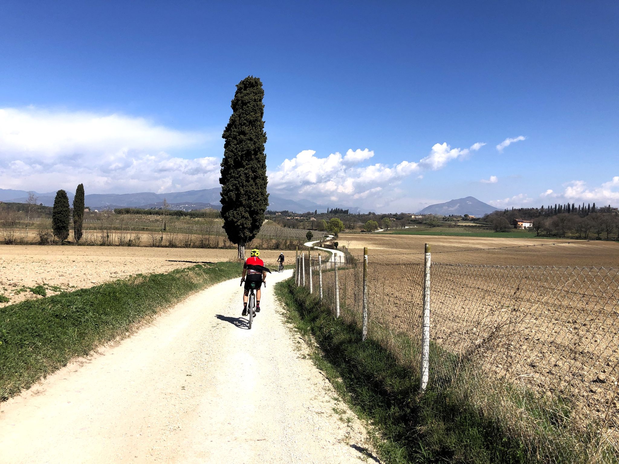
Vineyards and dreamy dirt roads – gravel in Valpolicella and Lessinia
Other adventures in Verona


Tips from the Community


Great trail along the lake, narrow and stony, but easy to walk with a beach of stones and partly sand by the water, which is very clear.
0
0

Nice ride, first part quite challenging 👍🏼
0
0

It followed an old parish church. The foundation stone was laid on January 20, 1746. It was consecrated on the fourth Sunday of Easter 1781 as S. Maria Assunta. In neoclassical style, it is of great artistic value. The architectural complex is spacious and festive, the facade is imposing. A valuable altar of polychrome marble, large paintings, and high statues adorn the large inner nave. In the wall of the apse is kept the valuable wooden statue of the Madonna and Child. It is the object of centuries-old veneration by the faithful of the community. A large organ completes the harmonious overall picture.
2
0


Unfortunately, the view is often obscured by bushes, and only at a few points is there a view of the lake. It's not suitable for strollers.
0
0
Frequently Asked Questions
How many bus-accessible hiking trails are there in Verona?
Verona offers a vast network of hiking trails accessible by bus, with over 1,190 routes available. These range from easy strolls to more challenging mountain treks, ensuring options for all fitness levels.
What kind of landscapes can I expect on bus-accessible hikes around Verona?
The region around Verona is incredibly diverse. You can find trails leading through the vineyard-covered Valpolicella Hills, along the scenic Adige Valley, or into the mountainous terrain of Lessinia Regional Natural Park and Monte Baldo. Many routes offer panoramic views of Lake Garda or the city itself.
Are there any family-friendly hiking options reachable by bus from Verona?
Yes, there are many family-friendly options. The Molina Waterfalls (Parco delle Cascate), for instance, offers various itineraries suitable for all skill levels, including families. The Torricelle Hills, just outside the city center, also provide easier routes with green spaces and city views. For a specific route, consider the Ponte Pietra – View of Verona loop from Verona, which is a moderate urban hike.
Can I bring my dog on these bus-accessible trails?
Many trails in the Verona region are dog-friendly, especially those in natural parks and rural areas. However, it's always best to check local regulations for specific parks or protected areas, and ensure your dog is on a leash. Public transport rules for dogs may also apply.
Are there bus-accessible hikes with waterfalls or natural features?
Absolutely. The Molina Waterfalls (Parco delle Cascate) is a prime example, featuring 13 waterfalls and natural pools. In the Lessinia Regional Natural Park, you can explore ancient caves and natural bridges. You might also encounter features like the Val Sorda Gorge and Waterfalls on some routes.
Are there any circular routes accessible by bus from Verona?
Yes, many bus-accessible routes are circular, allowing you to start and end at the same point, often near a bus stop. An example is the View of Lake Garda – View of Punta San Vigilio loop from Garda, which offers stunning lake vistas.
What are some notable landmarks or viewpoints I can reach on these trails?
Many trails offer access to significant landmarks and viewpoints. You can hike to Castel San Pietro for panoramic views of Verona, or explore routes near Lake Garda that offer vistas of the lake. The unique Santuario Madonna della Corona, carved into a rock face, is also reachable by a memorable hike. For historical sites, consider routes near Lazise City Walls or Torri del Benaco.
What is the best season for hiking from Verona's bus stations?
Spring and autumn are generally the best seasons for hiking around Verona, offering pleasant temperatures and vibrant landscapes. Spring brings blooming wildflowers, while autumn showcases beautiful fall foliage in the vineyards and forests. Summer can be hot, especially in lower elevations, but higher mountain trails in areas like Monte Baldo or Lessinia offer cooler temperatures. Winter hiking is possible, particularly on lower-elevation trails, but some mountain paths may be inaccessible due to snow.
Are there any easy hikes accessible by bus for beginners?
Yes, Verona has nearly 500 easy hiking routes accessible by bus. These often involve less elevation gain and shorter distances. The Torricelle Hills near the city center are a great option for beginners, offering gentle paths and scenic views without being overly strenuous.
How challenging are the bus-accessible hikes around Verona?
The bus-accessible hikes around Verona cater to all levels. You'll find over 490 easy routes, 570 moderate routes, and 130 difficult routes. Challenging trails often lead into the mountainous areas of Monte Baldo and Lessinia Regional Natural Park, featuring significant elevation changes and longer distances. An example of a moderate route is the Historic mule tracks through olive groves above Lake Garda.
Can I find places to eat or drink along these bus-accessible routes?
Yes, many routes, especially those passing through villages or near popular attractions, will have opportunities for refreshments. The Valpolicella Hills, for example, are known for their wineries, offering chances for wine tasting. In areas like Lessinia Regional Natural Park, you might find traditional cheesemaking dairies or rifugios (mountain huts) that offer food and drink.
How do other hikers rate the bus-accessible trails in Verona?
The bus-accessible trails in Verona are highly regarded by the komoot community, with an average rating of 4.49 out of 5 stars from over 30,000 reviews. Hikers often praise the diverse landscapes, well-maintained paths, and the accessibility of stunning natural and historical sites via public transport.
Are there any routes that offer views of Lake Garda?
Absolutely. Many bus-accessible routes in the western part of the Verona region provide spectacular views of Lake Garda. Trails around towns like Garda or Torri del Benaco, such as the Lake View – View of Lake Garda loop from Torri del Benaco, offer stunning panoramas of the lake and its surroundings.
Most popular routes in Verona
Most popular attractions in Verona

Get inspired with the komoot mobile app


Didn’t find what you were looking for?
Check out more Hikes throughout Verona below and find the perfect route in your destination.
Explore more
Browse the best Hikes in other regions.
