The best hikes from bus stations in Alessandria
4.5
(3264)
12,006
hikers
153
hikes
Bus Station hikes Alessandria offer access to a varied landscape, transitioning from the plains of the Po, Tanaro, and Scrivia rivers to the rolling hills of Monferrato and Langhe, and extending into the Ligurian Apennine Mountains. The region features extensive hills, vineyards, and more challenging mountainous terrain. This diverse topography provides a range of hiking experiences, from gentle walks through agricultural areas to ascents in higher elevations.
Best bus station hiking trails in Alessandria
- The most popular bus station hiking…
Last updated: July 11, 2026
4.8
(12)
34
hikers
8.27km
03:00
520m
520m
Moderate hike. Good fitness required. Easily-accessible paths. Suitable for all skill levels.
4.0
(4)
13
hikers
7.02km
02:01
170m
180m
Moderate hike. Good fitness required. Easily-accessible paths. Suitable for all skill levels.

Sign up for free
3.0
(1)
4
hikers
18.5km
05:50
720m
720m
Hard hike. Very good fitness required. Easily-accessible paths. Suitable for all skill levels.
5.0
(1)
1
hikers
14.0km
04:00
330m
330m
Moderate hike. Good fitness required. Easily-accessible paths. Suitable for all skill levels.
7.92km
02:20
230m
230m
Moderate hike. Good fitness required. Easily-accessible paths. Suitable for all skill levels.
Get access to more routes and recommendations from other explorers.
Sign up for free
Already have an account?
Our route recommendations are based on thousands of hikes, rides, and runs completed by other people on komoot.
Start today with a free account
Your next adventure awaits.
Login or Signup
Popular around Alessandria

Hikes from bus stations around Parco naturale delle Capanne di Marcarolo

Hikes from bus stations around Lake della Lavagnina
Hikes from bus stations around Parco naturale del Sacro Monte di Crea

Hikes from bus stations in Ghiaia Grande (Fiume Po)
Via Postumia – Hike between the Tyrrhenian and Adriatic seas
Car Free Piedmont – hiking face to face with nature
Devoto Cammino dei Sacri Monti – on the trail of the ancient pilgrims
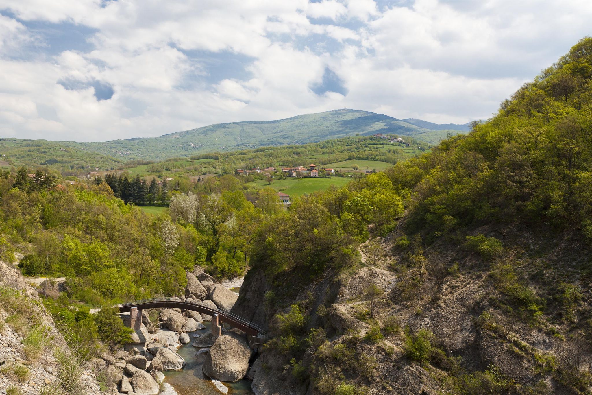
Revolutionary steps in Italy’s Borbera Valley – Cammino dei Ribelli
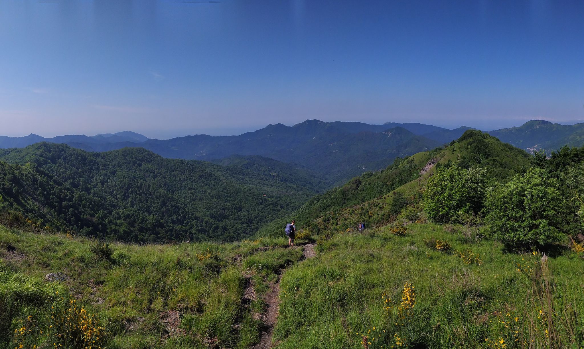
On the way to the sea – Italy’s Salt Road
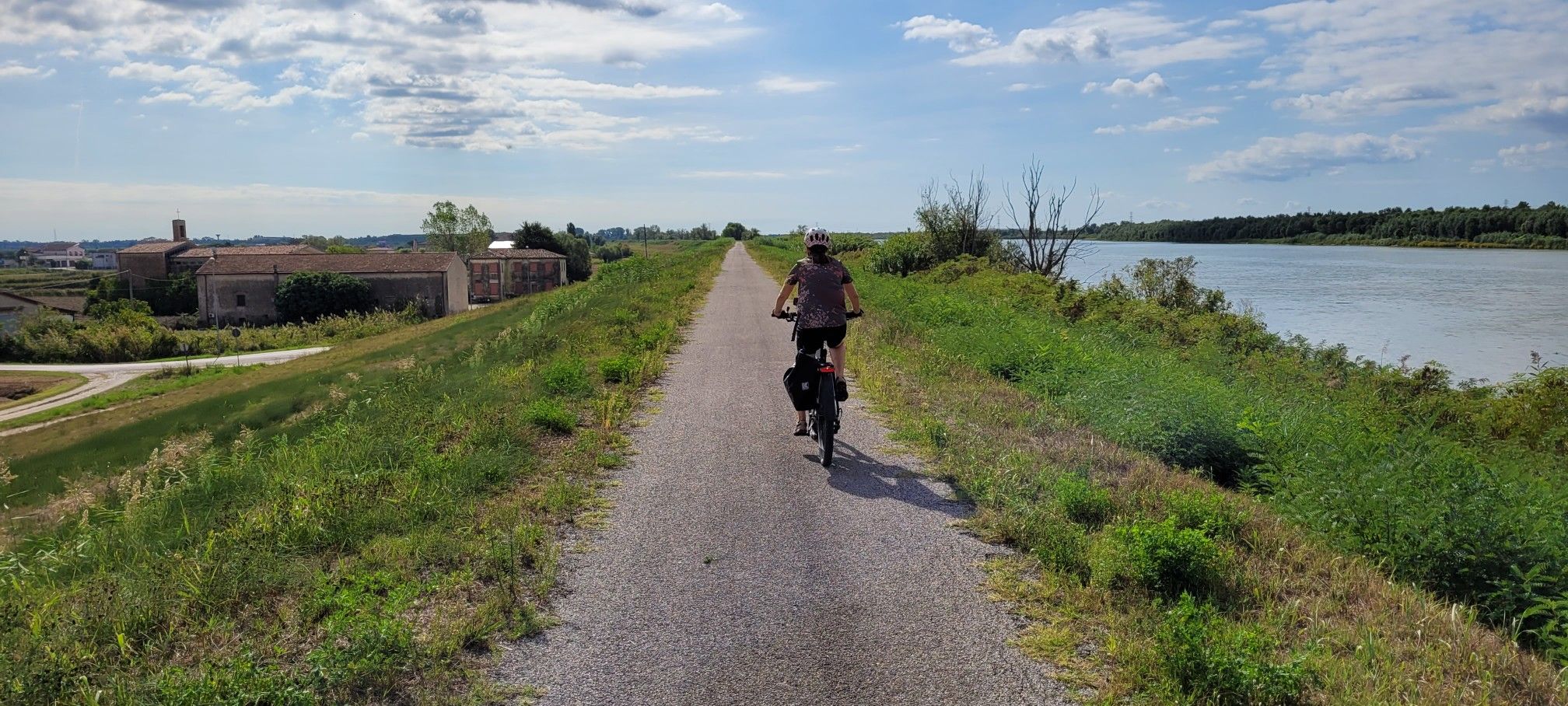
Ciclovie del Po — An all-round experience along Italy's longest river
Other adventures in Alessandria


Tips from the Community

A really beautiful, quiet route.
1
0

Panoramic view of the Lower Monferrato.
9
0

Excellent panoramic point on the Alpine arc, and the various peaks or destinations are indicated on the palette
0
0
Beautiful little church in the tiny hamlet of Trittango.
18
0


Up here, on Monte Giarolo, the hiker won't find the classic summit cross that crowns many mountains. Instead, on a pedestal divided into two sections, stands the figure of the Risen Christ, adorned with a cross. Christ raises one arm in greeting—or rather, in blessing—and with the other, he embraces the cross, that gruesome symbol of suffering and death, which, through his resurrection, he transformed into a glorious symbol of victory over death.
0
0

beautiful garden surrounding whole church. if you camp here bring earplugs, church bells every hour through the night!
0
0

At 1,473 meters above sea level, the peak of Mount Giarolo is on the so-called Ligurian Apennines but in the province of Alessandria, Piedmont. It is the northernmost point of the Antola chain and divides the Borbera and Curone valleys. On the summit there is a statue of Christ the Redeemer.
1
0
Frequently Asked Questions
How many hiking trails are accessible from bus stations in Alessandria?
Alessandria offers over 110 hiking routes that are easily accessible from bus stations. These trails cater to various skill levels, with a good mix of easy, moderate, and challenging options, allowing you to explore the diverse landscapes of the region.
Are there easy hiking options available from bus stations in Alessandria?
Yes, you'll find over 50 easy hiking routes starting from bus stations in Alessandria. Many of these gentle walks are located in the picturesque Monferrato Hills, a UNESCO World Heritage site known for its rolling vineyards and charming villages. These trails are perfect for a relaxed day out, often offering scenic views without strenuous climbs.
Can I find challenging mountain hikes accessible by public transport in Alessandria?
Absolutely. While Alessandria is known for its hills, the province extends into the Ligurian Apennines, offering more demanding mountain hikes. For example, the Monte Giarolo — Ring Tour is a moderate route that takes you to Monte Giarolo, the northernmost point of the Antola chain, providing significant elevation gain and rewarding views. There are 4 difficult routes available.
Are the bus station hiking trails in Alessandria suitable for families?
Many of the trails, especially those in the Monferrato Hills, are suitable for families. The varied terrain means you can choose routes that are less strenuous and offer interesting sights. Look for trails with lower elevation gain and shorter distances for a more family-friendly experience.
Are dogs allowed on the hiking trails around Alessandria's bus stations?
Generally, dogs are welcome on hiking trails in the Alessandria region, provided they are kept on a leash and you clean up after them. It's always a good idea to check specific local regulations or park rules if you plan to visit a protected area, but most public trails are dog-friendly.
What kind of scenery can I expect on these bus station hikes?
The scenery is incredibly diverse. You can expect to traverse rolling vineyards and charming villages in the Monferrato and Langhe regions, enjoy panoramic views from hilltops like the Big Bench of Cuccaro Monferrato, or experience more rugged mountain landscapes in the Apennines. The region also features river plains where the Po, Tanaro, and Scrivia rivers flow.
Are there any circular routes available from bus stations?
Yes, many of the hiking trails accessible from bus stations in Alessandria are circular routes, allowing you to start and end your journey at the same point without needing to arrange return transport. For instance, the Monte Giarolo — Ring Tour is a great example of a circular hike offering diverse landscapes.
What are some interesting landmarks or attractions I can see along the bus station hiking trails?
Along the trails, you might encounter historical sites, charming villages, and natural wonders. In the Apennines, you could reach the Monte Chiappo Summit or explore areas with traditional huts like Capanne di Cosola. The region also features unique natural formations such as the Strette del Borbera gorges.
What do other hikers enjoy most about hiking in Alessandria?
The komoot community highly rates hiking in Alessandria, with an average score of 4.4 stars from over 2,600 ratings. Hikers often praise the region's diverse landscapes, from the serene vineyards of Monferrato to the challenging Apennine peaks, and the accessibility of many trails via public transport.
What is the best season for hiking from bus stations in Alessandria?
Spring and autumn are generally the best seasons for hiking in Alessandria. Spring brings blooming wildflowers and pleasant temperatures, while autumn offers stunning foliage, especially in the vineyard-covered hills. Summer can be warm, so early morning or late afternoon hikes are recommended. Winter hiking is possible, particularly on lower-altitude trails, but higher mountain routes may require appropriate gear for snow and ice.
Are there any trails that pass through abandoned villages or offer a unique historical perspective?
Yes, some routes offer a glimpse into the region's past. For example, the challenging route From Carrega Ligure to San Giuliano via abandoned villages (Trail 241) takes you through historical areas, providing a unique perspective on the local heritage and landscape.
Most popular routes in Alessandria
Most popular attractions in Alessandria

Get inspired with the komoot mobile app


Didn’t find what you were looking for?
Check out more Hikes throughout Alessandria below and find the perfect route in your destination.
Explore more
Browse the best Hikes in other regions.
