The best hikes from bus stations in Bologna
4.4
(13234)
61,459
hikers
1,056
hikes
Bus station hiking trails in Bologna offer access to a diverse landscape at the foot of the Apennine Mountains, characterized by rolling hills, ancient woodlands, and unique geological formations. The region features distinct areas such as the Bolognese Apennines with their varied terrain and the Parco Regionale dei Gessi Bolognesi e Calanchi dell'Abbadessa, known for its limestone and karst features. Hikers can explore a network of paths that combine natural beauty with historical routes, including trails along river valleys and through dense forests. This topography provides a range of hiking experiences, from gentle urban walks to more challenging mountain ascents.
Best bus station hiking trails in Bologna
- The most popular bus station hiking route is From Bologna to Madonna di San Luca – loop tour on Via degli Dei and Via della Lana e della Seta, a 4.7 miles (7.6 km) trail that takes 2 hours 16 minutes to complete. This moderate route offers a blend of historical pathways and scenic views.
- Another top favourite among local hikers is Gessi Bolognesi Park Loop via CAI 817 and 802, a moderate 10.3 miles (16.5 km) path. This trail explores the distinctive "lunar landscape" of the Parco Regionale dei Gessi Bolognesi, featuring chalk outcrops and ravine formations.
- Local hikers also love the Bologna Historic Center Loop, a 3.8 miles (6.1 km) trail leading through the city's historic core, often completed in about 1 hour 35 minutes.
- Hiking in Bologna is defined by the rolling hills, the unique karst landscapes of the Gessi Bolognesi, and the dense woodlands of the Apennine foothills. The extensive network of routes offers options for various ability levels, from easy urban strolls to demanding mountain trails.
- The routes in Bologna are highly rated by the komoot community with an average score of 4.5 stars from over 11,000 reviews. More than 55,000 hikers have used komoot to explore Bologna's varied terrain.
Last updated: July 11, 2026
4.5
(103)
374
hikers
Embark on a moderate hike from Bologna's historic center, ascending towards the Colle della Guardia. This 4.7-mile (7.6 km) loop, with 709 feet (216 metres) of elevation gain, takes about 2 hours and 16 minutes to complete. A significant part of the journey involves walking along the world's longest portico, a UNESCO World Heritage site, featuring 666 arches that lead you to the revered Sanctuary of San Luca. As you climb, you will enjoy panoramic views of Bologna and the surrounding hills, with the route potentially descending through woodlands towards areas like Talon Park and the Reno River.
This local loop begins directly in the heart of Bologna, at Piazza Maggiore, making it easily accessible for a city-based adventure. Since the trail starts in a central urban location, you can plan your visit around public transport options within Bologna. The research does not specify details on parking, permits, or seasonal closures, so it is best to check local conditions before you go.
This specific loop offers a taste of two longer, historic routes: the Via degli Dei and the Via della Lana e della Seta. The Via degli Dei traces ancient Etruscan and Roman paths, while the Via della Lana e della Seta highlights the region's textile industry heritage. The climb to Madonna di San Luca, with its unique portico, is a notable feature that sets this trail apart, providing both historical context and stunning vistas.
4.4
(45)
96
hikers
16.5km
04:52
450m
450m
Embark on the Gessi Bolognesi Park Loop via CAI 817 and 802 for a moderate hike through a landscape unlike any other. This route covers 10.3 miles (16.5 km) and involves an elevation gain of 1463 feet (446 metres), typically taking about 4 hours and 51 minutes to complete. As you hike, you will encounter striking gypsum outcrops that create a 'moon-like' terrain, complete with dolines and rocky cliffs. The trail also leads you through the dramatic badlands of Calanchi dell'Abbadessa, offering rugged and expansive views.
When planning your visit, remember that this trail is generally accessible throughout the year. However, if you choose to hike in summer, be prepared for potentially high temperatures. During winter months, you might encounter snow and colder conditions, so make sure to dress in appropriate layers. The moderate rating means you should have good fitness and wear sturdy shoes to comfortably navigate the varied terrain.
This loop takes you into the heart of the Parco Regionale dei Gessi Bolognesi e Calanchi dell'Abbadessa, a UNESCO World Heritage Site known for its unique geological formations. The gypsum landscapes are a defining feature, making this area particularly notable in the region. Along the way, you can also look out for the peaceful Oratory of Our Lady of the Woods, which provides a quiet point of interest on your journey.

Sign up for free
4.1
(14)
71
hikers
6.13km
01:35
30m
30m
Begin your exploration of Bologna's historic center on this easy 3.8-mile (6.1 km) hike. You will experience the city's vibrant atmosphere and rich architectural heritage, gaining just 103 feet (31 metres) in elevation over about 1 hour and 34 minutes. The route guides you through bustling streets and lively piazzas, passing impressive buildings around Piazza Maggiore. You will also see the famous Asinelli and Garisenda Towers dominating the skyline, offering a true sense of Bologna's unique charm.
This route is suitable for all fitness levels, featuring easily accessible paved paths throughout. You won't need rugged hiking boots, making it a comfortable urban walk. The central location means many major landmarks are accessible on foot, perfect if you are looking for an introduction to Bologna. Public transport is readily available to reach the starting point, which is conveniently located near Bologna Centrale Station.
This loop offers a deep dive into Bologna's medieval and Renaissance architecture, showcasing a blend of history and modern city life. A significant highlight is walking through Bologna's characteristic porticoes, a UNESCO World Heritage site, which provide sheltered pathways and contribute to the city's distinct character. The route is an excellent way to immerse yourself in the cultural fabric of this iconic Italian city.
4.6
(15)
56
hikers
18.4km
06:44
800m
800m
If you are looking for a challenging day out, the Monte Radicchio - CAI 134 Loop offers a demanding hike through rugged sandstone landscapes and dense forests. You will cover 11.4 miles (18.4 km) with a significant elevation gain of 2627 feet (801 metres), taking around 6 hours and 44 minutes to complete. The route provides a wonderfully remote feel as you traverse past abandoned stone houses, offering expansive views across the Apennine ridges. Keep an eye out for the notable vista towards Monte Sole, a highlight of this difficult trail.
This difficult hike features sections of steep ascent, particularly on sandy terrain, and challenging rocky passages with significant exposure. Some portions involve technical passages and steep descents over rock and scree, so good dexterity and sure-footedness are essential. It is recommended for hikers with a good level of fitness. If you experience vertigo, you might find certain sections unsuitable for your comfort.
Expect a truly remote atmosphere as you explore this trail within Parco Regionale Monte Sole. The environment is wild and cliff-filled, providing a habitat for various birds of prey, such as the Peregrine Falcon. This loop offers a unique opportunity to experience the rugged beauty of the Apennines, making it a notable option for experienced hikers in the region.
3.0
(4)
16
hikers
20.1km
06:31
820m
820m
Embark on the Lago di Suviana e Monte di Stagno loop tour for a challenging hike through varied terrain. This difficult route spans 12.5 miles (20.1 km) and involves a significant elevation gain of 2685 feet (818 metres), typically taking around 6 hours and 31 minutes to complete. You will traverse lake shores, rolling hills, and dense woodlands, moving between established trails, mulattiera, and dirt roads. The ascent to Monte di Stagno is a highlight, offering sweeping views of Lake Suviana and the Bolognese Apennines. Expect to see diverse forests, open glades, and even the Suviana Dam as you make your way around the loop. Spring offers particularly pleasant views with seasonal blooms.
This loop tour requires a good level of physical fitness and stamina due to its length and sustained climbs. While some sections are on well-trodden paths, be prepared for demanding ascents and descents. The trail is located within the Suviana and Brasimone Lakes Regional Park, so plan your visit according to park regulations. Consider starting early to allow ample time to complete the route before dusk, especially given its estimated duration.
The entire trail lies within the protected Suviana and Brasimone Lakes Regional Park, known for its diverse ecosystem. As you hike, you might spot wildlife such as deer, roe deer, or wild boar, especially during certain seasons. A unique point of interest along the route is the abandoned village of Chiapporato, with its stone houses nestled among chestnut groves, offering a glimpse into the region's past. The nearby Lake Suviana also provides opportunities for water activities like kayaking or windsurfing during summer months.
Get access to more routes and recommendations from other explorers.
Sign up for free
Already have an account?
Our route recommendations are based on thousands of hikes, rides, and runs completed by other people on komoot.
Start today with a free account
Your next adventure awaits.
Login or Signup
Popular around Bologna

Hikes from bus stations around Parco regionale Monte Sole

Hikes from bus stations around Monte Sole
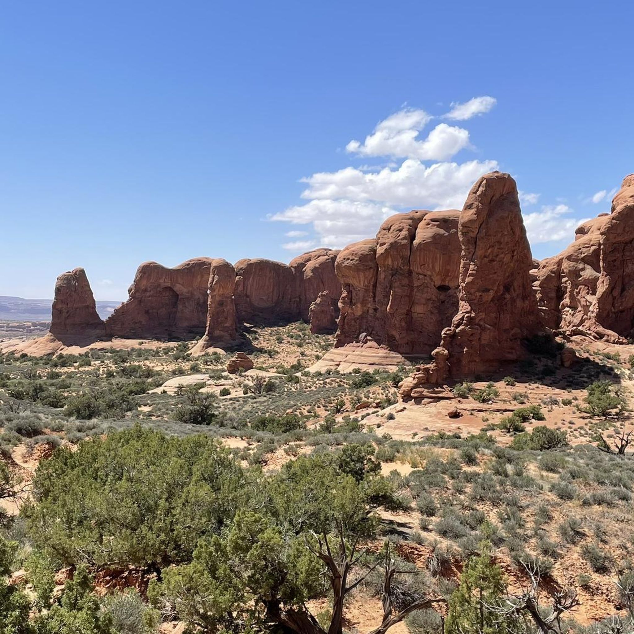
Hikes from bus stations around Park Gessi Bolognesi and Calanchi dell'Abbadessa

Hikes from bus stations around Contrafforte Pliocenico

Hikes from bus stations in Gessi Bolognesi, Calanchi Dell'Abbadessa

Hikes from bus stations in Monte Dei Cucchi, Pian Di Balestra

Hikes from bus stations around Lake Castel dell'Alpi

Hikes from bus stations around Corno alle Scale
Hikes from bus stations around Lake Suviana

Hikes from bus stations around Riserva regionale Contrafforte Pliocenico
Other adventures in Bologna


Tips from the Community

Komoot says the trail might be dangerous but it's not true. View from the top extraordinary!
0
0

In view of the Marian shrine "Oratorio di Madonna del Boschi" that the hiker encounters here, I would like to share with the viewer a brief thought—or rather, a blessing—from Saint Padre Pio (Pio da Pietrelcina, 1887–1968): "May the Mother of Jesus and our Mother always smile upon your spirit and receive every heavenly blessing from her most holy Son."
0
0

It's worth a stop
0
0


I can only agree with Damiano; the colonnade is very impressive, but also strenuous. Therefore, you should make the walk up to San Luca early in the morning, otherwise it will be too hot.
6
0
There's an elevation gain of about 200 meters, but from the top you'll have a fantastic view of Bologna.
6
0

Reno Park for walking and recreation 🔝
0
0

Once you reach the highest peak, the road finally becomes flat. From here, on the ridge, you can enjoy a view of the entire horizon, including one of the famous "holes" of the area. The sun can beat down hard in the summer: no trees found.
0
0
Frequently Asked Questions
How many hiking trails are accessible from bus stations in Bologna?
There are over 900 hiking routes in the Bologna region that can be accessed via public transport, offering a wide variety of options from easy strolls to challenging mountain treks. The area's extensive bus network makes it convenient to reach trailheads and explore the diverse landscapes.
What kind of landscapes can I expect to see on bus-accessible hikes around Bologna?
The region around Bologna offers incredibly diverse landscapes. You can explore the rolling hills just outside the city, the distinctive 'lunar landscape' of the Parco Regionale dei Gessi Bolognesi e Calanchi dell'Abbadessa with its chalk outcrops and karst formations, or venture into the Bolognese Apennines for more challenging terrain and panoramic views. Many routes also pass through dense woodlands and river valleys.
Are there any family-friendly hiking options accessible by bus from Bologna?
Yes, Bologna offers several family-friendly hikes. The iconic walk to the Shrine of Our Lady of St. Luke via the Portico di San Luca is a popular and accessible option, suitable for most ages. For a more natural setting, the hills around Bologna and parts of the regional parks offer gentler paths. Consider routes like the Bologna Historic Center Loop for an easy urban exploration.
Can I find circular hiking routes that start and end at a bus stop?
Absolutely. Many routes in the Bologna region are designed as loops, making them ideal for bus-accessible day trips. For example, the Gessi Bolognesi Park Loop offers a moderate circular hike through unique geological formations. The loop tour from Bologna to Madonna di San Luca is another excellent option, combining historical paths with scenic views.
Are there any hikes with waterfalls accessible by bus from Bologna?
Yes, the Dardagna Valley in the Apennine foothills is renowned for its beautiful waterfalls. While specific bus routes directly to the Dardagna Falls trailhead might require a bit more planning or a short taxi ride from the nearest bus stop, the area is a prime destination for waterfall enthusiasts. Trails here wind through dense woodlands and offer stunning natural beauty.
What are some notable landmarks or attractions I can see on bus-accessible hikes?
Many bus-accessible hikes offer cultural and historical points of interest. The most famous is the Shrine of Our Lady of St. Luke, reached via the world's longest portico, the Portico di San Luca. Other attractions include the Meloncello Arch, and various historical churches and villages throughout the Apennines. For a taste of city history, the Piazza Maggiore and Basilica of San Petronio are easily reachable in the city center.
Are there dog-friendly hiking trails near Bologna that are accessible by bus?
Many natural areas and regional parks around Bologna are dog-friendly, provided dogs are kept on a leash and owners clean up after them. The numerous paths in the Bolognese Apennines and the hills surrounding the city offer ample space for walks with your canine companion. Always check specific park regulations before heading out, but generally, the less crowded trails are suitable for dogs.
What is the best time of year to go hiking from Bologna's bus stations?
Spring (April-May) and Autumn (September-October) are generally considered the best times for hiking in Bologna. The weather is mild, the landscapes are vibrant with spring blooms or autumn colors, and the temperatures are comfortable. Summer can be hot, especially in July and August, making early morning or late afternoon hikes preferable. Winter offers a different charm, particularly in the higher Apennines, but requires appropriate gear for colder conditions.
What do other hikers enjoy most about hiking in Bologna?
The hiking trails around Bologna are highly rated by the komoot community, with an average score of 4.5 stars from over 11,000 ratings. Reviewers often praise the region's diverse scenery, from the unique geological formations of the Gessi Bolognesi to the stunning panoramic views from the Apennine peaks. The convenience of accessing many trailheads via public transport and the blend of natural beauty with historical and cultural landmarks are also frequently highlighted.
Are there any challenging or difficult hikes accessible by bus from Bologna?
Yes, for experienced hikers seeking a challenge, the Bolognese Apennines offer more demanding routes. Trails like the Monte Radicchio - CAI 134 Loop provide significant elevation gain and longer distances, rewarding hikers with spectacular views. These routes often traverse rugged terrain and require good physical fitness and appropriate gear.
Where can I find places to eat or drink near bus-accessible hiking trails?
Many popular hiking areas, especially those near villages or towns, have cafes, trattorias, or pubs. For instance, after hiking to the Shrine of Our Lady of St. Luke, you'll find options near the sanctuary or back in Bologna. In the Apennine areas, charming local eateries often provide traditional Bolognese cuisine. Some routes might also pass by mountain huts like Segavecchia Mountain Hut or Porta Franca Mountain Hut, offering refreshments.
Are there any hidden gem hikes accessible by bus from Bologna?
Beyond the well-known routes, the region is full of lesser-explored paths. The 'Le Vie del Sole' trails in Cereglio, located in the Bolognese Apennines, offer five distinct routes through charming villages and historical churches, providing a more tranquil hiking experience. These areas are typically accessible by regional bus services, offering a chance to discover quieter corners of the region.
Most popular routes in Bologna
Most popular attractions in Bologna

Get inspired with the komoot mobile app


Didn’t find what you were looking for?
Check out more Hikes throughout Bologna below and find the perfect route in your destination.
Explore more
Browse the best Hikes in other regions.
