The best city hikes and walks around Merthyr Tydfil
4.5
(6265)
54,948
hikers
7
hikes
Urban hiking trails around Merthyr Tydfil are characterized by river valleys, forested areas, and historical industrial landmarks. The region offers accessible routes that often follow former railway lines and riverside paths. Impressive structures like the Cefn Coed Viaduct are integrated into the trail network, providing points of interest. These urban paths provide a mix of natural scenery and glimpses into the area's heritage.
Best urban hiking trails around Merthyr Tydfil
- The most popular urban hiking route is EC Cycles – Merthyr Ironworks Ruins loop from Merthyr Tydfil, a 3.9 miles (6.3 km) trail that takes 1 hour 41 minutes to complete. This easy route explores the historical Merthyr Ironworks Ruins.
- Another top favourite among local hikers is St Catherine's Church – Bunch of Grapes loop from Trefforest, a moderate 4.9 miles (7.9 km) path. This trail offers a mix of urban and green spaces, connecting local landmarks.
- Local hikers also love the Hiking loop from Pontypridd, a 2.5 miles (4.0 km) trail leading through urban green spaces and riverside paths, often completed in about 1 hour 5 minutes.
- Hiking around Merthyr Tydfil is defined by river valleys, forested trails, and historical viaducts. The network offers options for easy and moderate ability levels.
- The routes in Merthyr Tydfil are highly rated by the komoot community with an average score of 4.4 stars from over 2,100 reviews. More than 16,500 hikers have used komoot to explore Merthyr Tydfil's varied terrain.
Last updated: September 4, 2026
14
hikers
Moderate hike. Good fitness required. Easily-accessible paths. Suitable for all skill levels.
4.0
(1)
10
hikers
11.0km
02:54
100m
100m
Moderate hike. Good fitness required. Easily-accessible paths. Suitable for all skill levels.

Sign up for free
5.0
(1)
5
hikers
4.15km
01:08
60m
60m
Easy hike. Great for any fitness level. Easily-accessible paths. Suitable for all skill levels.
5.0
(1)
3
hikers
Easy hike. Great for any fitness level. Easily-accessible paths. Suitable for all skill levels.
3.0
(1)
4
hikers
6.07km
01:48
170m
170m
Easy hike. Great for any fitness level. Easily-accessible paths. Suitable for all skill levels.
Get access to more routes and recommendations from other explorers.
Sign up for free
Already have an account?
Our route recommendations are based on thousands of hikes, rides, and runs completed by other people on komoot.
Start today with a free account
Your next adventure awaits.
Login or Signup

Other adventures around Merthyr Tydfil


Tips from the Community

Friendly cafe in high street, good coffee and crumpets ☕🤪
0
0

Waterfalls along the Barry Slide walkway
0
0

An historic remnant of the Glamorganshire Canal: now a nature reserve
0
0

The Rocking Stone or "Y Maen Chwyf" in Welsh is a glacial boulder remaining from the Ice Age. It formed the central point for a "Gorsedd" or "Gathering of Bards" in 1814, which was organised by stonemason, Edward Williams, known as "Iolo Morganwg". The Gorsedd Circle of smaller stones was constructed in 1849 by Evan Davies, Bardic name "Myfyr Morganwg" and has often been used for Bardic gatherings, and as a focal point for other public occasions.
1
0

The Rocking Stone ('Y Maen Chwyf' in Welsh) is a glacial boulder left over from when ice sheets covered these lands. The stone circle that surrounds the stone was constructed in 1849 by Evan Davies. The site has often been used for Bardic gatherings and public events.
2
0
St Catherine's is a listed church that was completed in 1870. The church was constructed in response to the growing population of Pontypridd, which had swelled as the town industrialised in the 19th century. You can see some impressive stained glass in the church: which dates from the early 20th century.
1
0

The Rocking Stone or “Y Maen Chwyf” in Welsh is a glacial boulder dating back to the Ice Age. It was a focal point of the “Gathering of Bards” organised by stonemason Edward Williams in 1814.
2
0
Frequently Asked Questions
What makes Merthyr Tydfil a good place for urban hiking?
Merthyr Tydfil offers a unique blend of urban landscapes and natural beauty, situated on the southern edge of the Bannau Brycheiniog National Park. Its rich industrial heritage, river valleys, and accessible trail networks provide diverse urban hiking experiences, from historical routes to scenic riverside paths.
Are there many urban hiking trails available in Merthyr Tydfil?
Yes, this guide features 5 urban hiking routes in and around Merthyr Tydfil. These trails range from easy to moderate difficulty, making them suitable for various fitness levels.
What kind of landmarks can I see on urban hikes in Merthyr Tydfil?
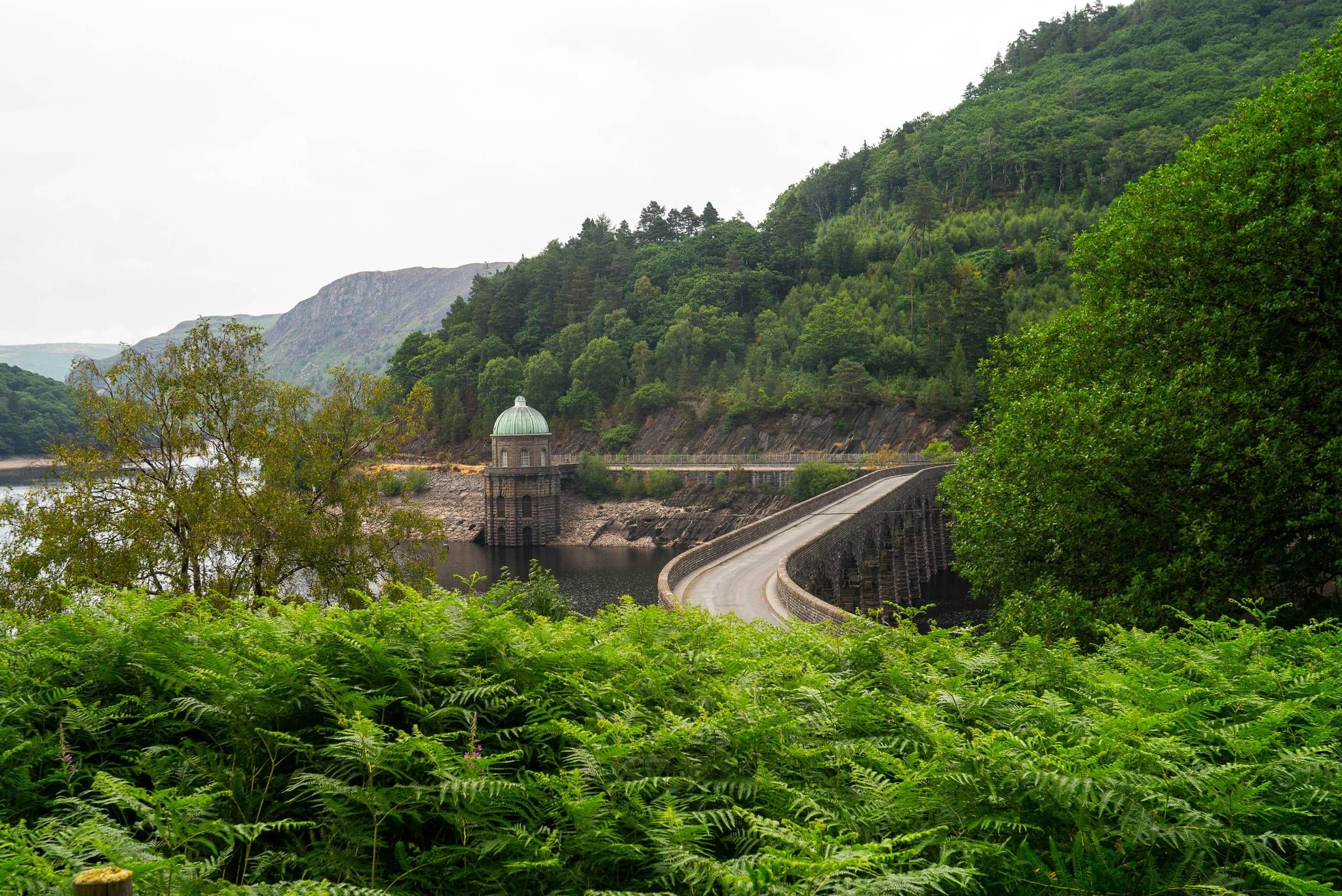
Urban hikes in Merthyr Tydfil often feature impressive historical and natural landmarks. You can explore sites like the Pontsarn Viaduct, the Taff Trail Tramroad Section, and the Merthyr Ironworks Ruins. The area also boasts beautiful reservoirs such as Pontsticill Reservoir and Llwyn-on Reservoir Dam.
Are there any easy urban walks suitable for beginners or families?
Absolutely. Many urban trails in Merthyr Tydfil are considered easy. For example, the Hiking loop from Pontypridd is a shorter, easy option. The EC Cycles – Merthyr Ironworks Ruins loop from Merthyr Tydfil is another easy route, offering a pleasant walk through historical sites.
Can I find circular urban hiking routes in Merthyr Tydfil?
Yes, several urban hikes in the area are circular, allowing you to start and end at the same point. The EC Cycles – Merthyr Ironworks Ruins loop from Merthyr Tydfil and the Cefn-coed Viaduct – Merthyr Ironworks Ruins loop from Merthyr Tydfil are both excellent circular options.
What is the average length and duration of urban hikes in Merthyr Tydfil?
The urban hikes in this guide vary in length, typically ranging from 4 km to nearly 8 km. Most can be completed within 1 to 2 hours, making them ideal for a half-day outing. For instance, the Old Bridge, Pontypridd – The Crazy Croissant Cafe loop from Pontypridd is about 5.9 km and takes around 1 hour 45 minutes.
What do other hikers enjoy most about urban hiking in Merthyr Tydfil?
The komoot community highly rates the hiking experiences in Merthyr Tydfil, with an average score of 4.4 out of 5 stars from over 2,100 reviews. Reviewers often praise the accessibility of the trails, the blend of industrial heritage with natural scenery, and the well-maintained paths suitable for various abilities.
Are there any urban trails that offer a bit more of a challenge?
While most urban trails in this guide are easy, the St Catherine's Church – Bunch of Grapes loop from Trefforest is rated as moderate. This 7.9 km route offers a slightly longer distance and more varied terrain for those looking for a bit more exertion within an urban setting.
Is public transport available to access urban hiking trails in Merthyr Tydfil?
Merthyr Tydfil has good public transport links, including train and bus services, which can help you reach various starting points for urban hikes. The Taff Trail, a significant route passing through the area, is particularly accessible by public transport.
Where can I find more information about the Taff Trail, which passes through Merthyr Tydfil?
The Taff Trail is a prominent long-distance path that runs through Merthyr Tydfil. You can find more detailed information, including maps and sections of the trail, on the local tourism website. For a comprehensive guide, visit this PDF guide from Visit Merthyr.
What is the best time of year for urban hiking in Merthyr Tydfil?
Urban hiking in Merthyr Tydfil is enjoyable year-round. Spring and autumn offer pleasant temperatures and beautiful foliage, while summer provides longer daylight hours. Even in winter, many urban paths remain accessible, offering crisp views of the industrial heritage and surrounding landscapes.
Most popular routes around Merthyr Tydfil
Most popular attractions around Merthyr Tydfil

Get inspired with the komoot mobile app


Explore more
Browse the best Hikes in other regions.
