The best hikes from bus stations in North Ayrshire
4.5
(955)
8,777
hikers
139
hikes
Bus station hiking trails in North Ayrshire offer access to a diverse landscape characterized by an extensive coastline, rolling hills, dense woodlands, and significant mountains on the Isle of Arran. The region features rugged cliffs, sandy beaches, numerous lochs, reservoirs, and waterfalls. This varied terrain provides a range of hiking experiences, from coastal paths to challenging mountain ascents.
Best bus station hiking trails in North Ayrshire
- The most popular bus station hiking route is Arran Coastal Way: Lochranza Loop, a 7.8 miles (12.6 km) trail that takes 3 hours 40 minutes to complete. This route offers coastal views and passes through the village of Lochranza.
- Another top favourite among local hikers is Goatfell and North Goatfell Loop from Corrie, a difficult 7.8 miles (12.5 km) path. This challenging route ascends Goatfell, the highest mountain on the Isle of Arran, providing panoramic views.
- Local hikers also love the Loch na Davie & Locharanza loop from Arran Distillery — Isle of Arran, a 10.5 miles (16.9 km) trail leading through varied terrain including a loch, often completed in about 5 hours 20 minutes.
- Hiking in North Ayrshire is defined by coastal paths, island mountains, and tranquil lochs, with options for various ability levels.
- The routes in North Ayrshire are highly rated by the komoot community with an average score of 4.6 stars from more than 800 reviews. More than 8,000 hikers have used komoot to explore North Ayrshire's varied terrain.
Last updated: July 11, 2026
4.8
(40)
246
hikers
12.6km
03:40
310m
310m
Embark on the Arran Coastal Way: Lochranza Loop, a moderate hike that guides you along the rugged coastline and into the hills of Arran. This route spans 7.8 miles (12.6 km) and involves a climb of 1024 feet (312 metres), typically taking about 3 hours and 40 minutes to complete. You will experience diverse landscapes, from pebbly shores to elevated tracks, all while enjoying views of the historic Lochranza Castle. Keep an eye out for local wildlife as you traverse this scenic loop. The atmosphere is one of wild beauty, offering a true taste of island hiking.
Planning your trip to the Lochranza Loop is straightforward, with parking readily available in Lochranza village, which also provides amenities. While generally considered family-friendly, some parts of the wider Arran Coastal Way can be rugged, so sturdy shoes are highly recommended for the varied terrain. Be prepared for sections that include pebbly shores and hillside ascents. Starting your hike earlier in the day allows ample time to enjoy the scenery and complete the loop comfortably.
This particular loop offers a unique opportunity to witness Hutton's Unconformity, a significant geological feature that tells a story of Earth's ancient past. You might also explore the mystical Fairy Dell, a spot steeped in local folklore. The trail provides panoramic views along the Kilbrannan Sound and the North Arran Coast, making it a notable highlight for those exploring the Isle of Arran. Look out for red deer and seals, which are often spotted in the area.
4.7
(14)
109
hikers
12.5km
05:26
1,160m
1,160m
Embark on the Goatfell and North Goatfell Loop from Corrie for a truly challenging hiking adventure across Arran's highest peaks. This difficult route spans 7.8 miles (12.5 km) and demands a substantial elevation gain of 3806 feet (1160 metres). As you ascend, you will traverse through birch woodlands before reaching open moorland, where the cascading Corrie Burn becomes a prominent feature. The trail then climbs towards the dramatic granite ridges, offering extensive panoramas from the summits of Goatfell and North Goatfell.
Planning your visit requires good physical fitness and prior experience with hillwalking due to the steep inclines and exposed sections. The estimated duration for this loop is 5 hours and 25 minutes, so start early to allow ample daylight. If you consider hiking during winter months, you must bring specialized equipment like an ice-axe and crampons, and know how to use them safely. Parking is typically available in Corrie, which serves as the convenient starting point for this demanding route.
This loop provides a rewarding experience for those seeking a quieter approach to Arran's iconic highest peak. From the twin summits, you can enjoy far-reaching views that stretch across the Clyde estuary, encompassing the surrounding islands and, on exceptionally clear days, even the distant coast of Ireland. The route's progression from woodland to open moorland and then to rugged granite ridges showcases the diverse and striking landscape of the region.

Sign up for free
4.2
(6)
66
hikers
16.9km
05:02
500m
500m
Embark on a challenging 10.5-mile (16.9 km) hike around the Loch na Davie & Lochranza loop, starting from the Arran Distillery. This difficult route demands a good fitness level as you gain 1644 feet (501 metres) in elevation over approximately 5 hours and 1 minute. You will traverse rugged Highland scenery, moving from accessible paths near the distillery to rougher, stonier trails and potentially boggy moorland as you head inland towards the picturesque Loch na Davie, nestled amidst stunning mountain views. Expect varied terrain, including unpaved paths, natural footpaths, and some light rock scrambling in sections. The trail also offers coastal vistas around Lochranza Bay, providing a diverse visual experience.
Planning your visit requires sturdy shoes and sure-footedness, as paths can be ill-defined or disappear into high bracken in some areas. The route follows rivers tumbling through rocky gorges, particularly on the ascent up Gleann Easan Biorach, where you will encounter waterfalls. Be prepared for a mix of surfaces, from asphalt near the start to gravel and state roads. This is a demanding hike, so ensure you are well-prepared for the varied and sometimes challenging conditions.
This loop showcases why Arran is known as "Scotland in miniature," with its dramatic hills, rugged glens, and expansive moorland. You will pass Loch na Davie, celebrated as Scotland's purest water source, which supplies the Arran Distillery. Keep an eye out for wildlife; you have a good chance of spotting red deer on the moorland and golden eagles soaring overhead in places like Gleann Easan Biorach. The historic Lochranza Castle, a ruined 13th-century structure, adds a touch of history to the coastal part of your journey, offering panoramic views across the Firth of Clyde.
4.8
(5)
54
hikers
8.80km
03:48
810m
810m
Embark on a challenging yet rewarding hike up Goatfell from Corrie, the highest mountain on the Isle of Arran. This moderate route covers 5.5 miles (8.8 km) with a significant elevation gain of 2666 feet (813 metres), typically taking around 3 hours and 48 minutes to complete. You will start on a dirt track through woodland alongside the Corrie Burn, then emerge onto moorland before the steep and relentless climb begins, transitioning to rocky terrain with large boulders and granite outcrops as you approach the summit. From the top, you can enjoy expansive views over Arran, including Brodick Bay and Holy Island, stretching across the Firth of Clyde to the Scottish mainland on clear days.
Planning your visit to Goatfell requires a good level of fitness and sturdy hiking footwear. While the path is generally well-trodden in summer, the ascent is steep, and the final push to the summit involves scrambling over rocks. Be aware that in winter, the difficulty increases significantly; snow and ice can make the route potentially dangerous and often necessitate an ice axe and crampons. Always check conditions before you go to ensure a safe and enjoyable experience.
Goatfell, standing at 874 meters (2,867 feet), is the most prominent peak on Arran, an island often called "Scotland in Miniature" due to its diverse landscapes. The Corrie route offers a shorter and steeper alternative to the more common path from Brodick, providing a distinct challenge. The trail often includes reaching North Goatfell before the main summit, and the spacious summit itself features a trig point and a plaque to help you identify the many visible landmarks across the panoramic vista.
4.0
(2)
35
hikers
8.14km
02:16
150m
150m
Embark on the Cladach to Waterfall in Glen Rosa loop, a moderate hike on the Isle of Arran that showcases diverse landscapes. This route covers 5.1 miles (8.1 km) with an elevation gain of 507 feet (154 metres), typically taking around 2 hours and 16 minutes to complete. You will traverse well-maintained tracks, earthy paths, and some surfaced roads, leading you through mature woodlands, a deep rocky gorge, and open hillsides with stunning mountain views, including Goatfell and Cir Mhor. A highlight is the Blue Pool, a clear, inviting spot for wild swimming, featuring a small waterfall at its head.
For this varied terrain, especially after rain, proper hiking boots are recommended as sections further into the glen can become narrower and boggy. The trail is generally considered child-friendly for those accustomed to similar distances and ascents. You will find the initial parts of the track wide and dry, but be prepared for rougher paths through trees as you venture deeper into the glen.
This loop is notable for embodying Arran's diverse environments, often called "Scotland in miniature." The Glenrosa Water, with its cascading waters and deep pools, accompanies you along parts of the route, adding to the picturesque scenery. Keep an eye out for abundant birdlife, and you might even spot sheep and red deer, making this a beloved route for locals, visitors, and dog walkers alike.
Get access to more routes and recommendations from other explorers.
Sign up for free
Already have an account?
Our route recommendations are based on thousands of hikes, rides, and runs completed by other people on komoot.
Start today with a free account
Your next adventure awaits.
Login or Signup
Popular around North Ayrshire

Hikes from bus stations in North Arran
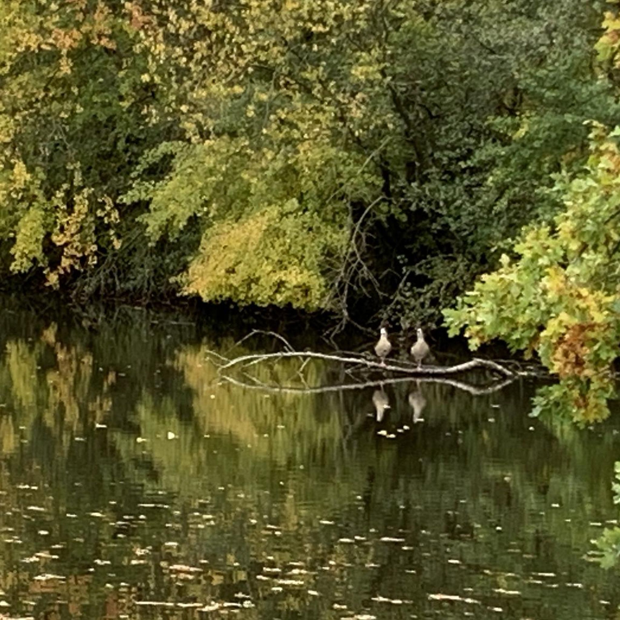
Hikes from bus stations around South Arran Marine Protected Area
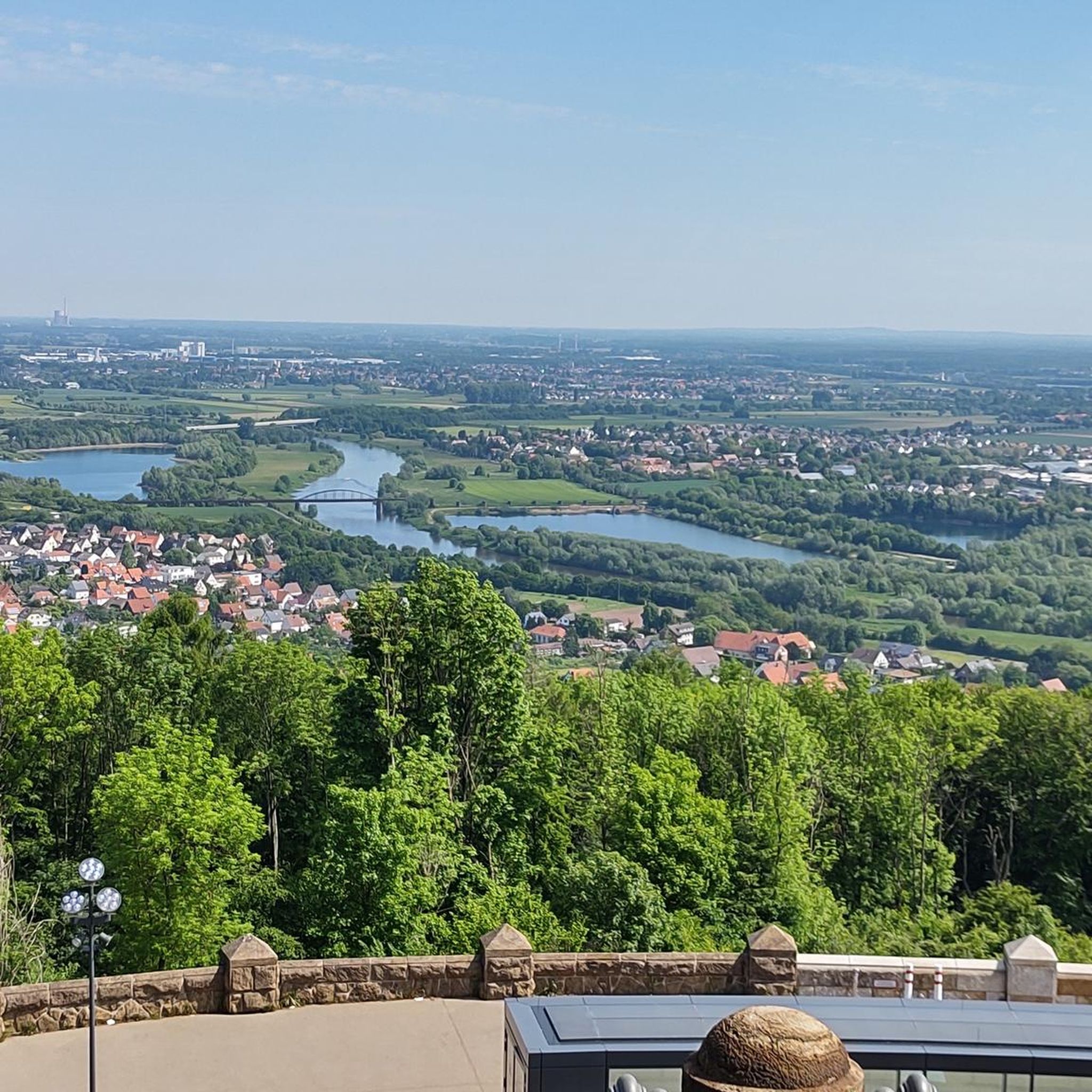
Hikes from bus stations around Glenashdale Wood

Hikes from bus stations in Clyde Muirshiel

Hikes from bus stations around Clyde Muirshiel Regional Park

Hikes from bus stations around Ashgrove Loch
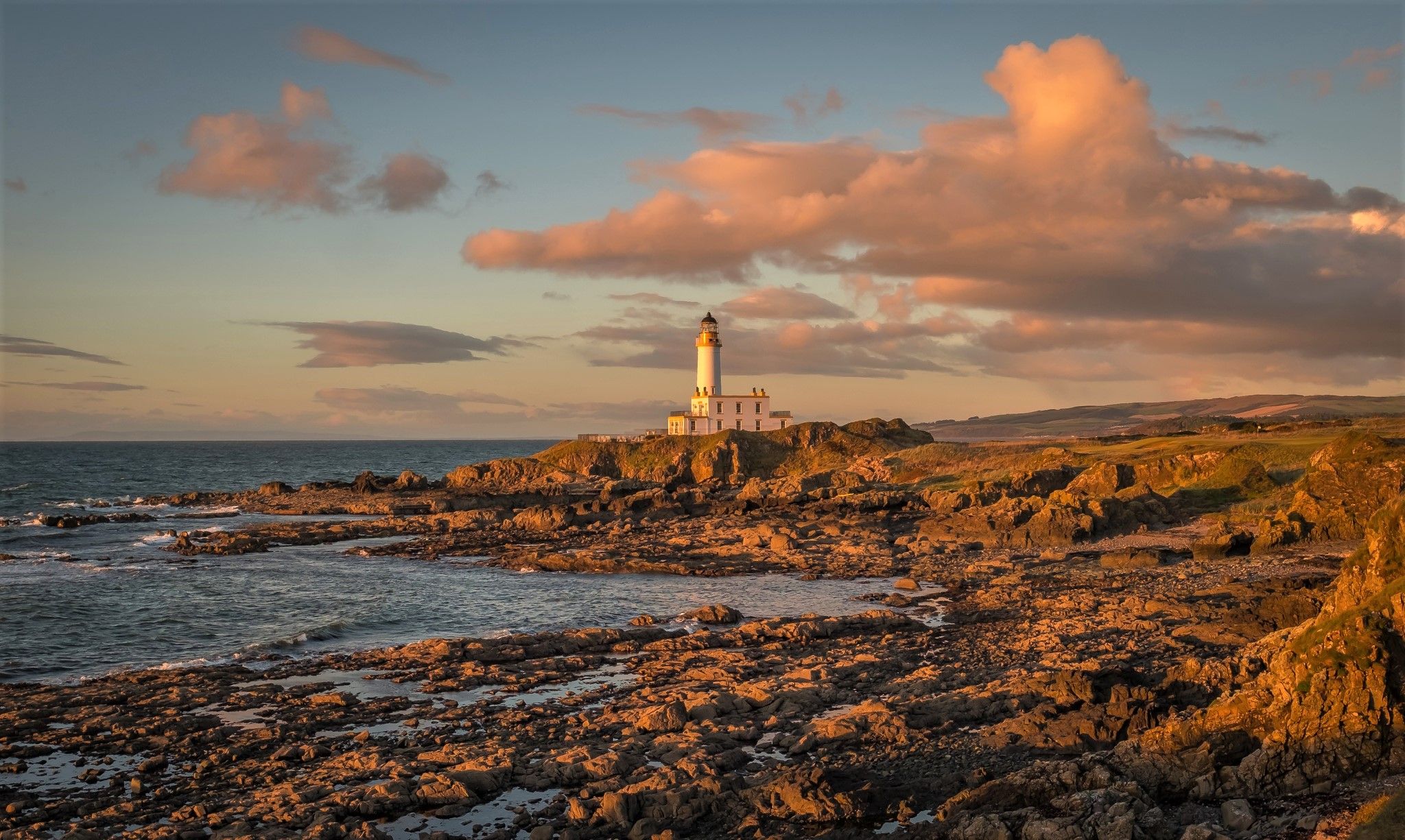
Ayrshire Coastal Path — A sublime panoramic coastline hike
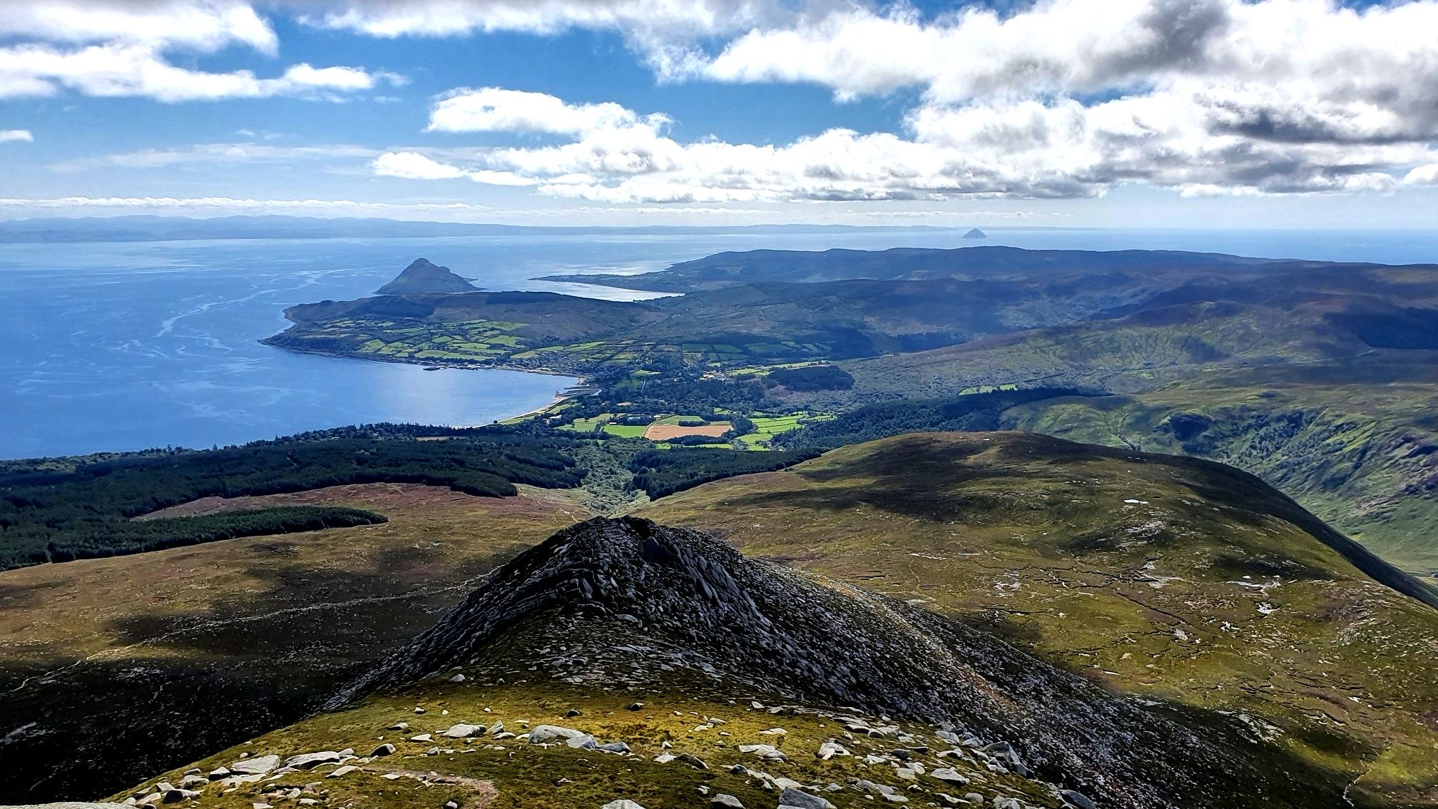
Arran Coastal Way — A breathtaking loop of 'Scotland in miniature'

Walk Britain – 90 car-free adventures in England, Wales and Scotland
West Island Trail – Island hopping by bike in the Inner Hebrides


Tips from the Community

North Goat Fell is rocky tor and a subsidiary summit at the end of the Goat Fell north ridge. It also marks the beginning of the steep and in places awkward descent to the Saddle.
0
0
The Saddle is the Col between Cir Mhor and Goat Fell, and it is also the pass between Glen Rosa and Glen Sannox. The descent into Glen Rosa is straight forward, but climbing down into the head of Glen Sannox requires a good deal of care.
0
0
You pass this waterfall on the way to Beinn Nuis, a section of it is more of a slide down to granite slab.
0
0
Much beloved of Instagrammers who like swimming in the cold waters!
0
0

This is the castle that inspired Herges Adventures of TinTin only Scottish Adventure!
0
0


Frequently Asked Questions
How many bus station hiking trails are available in North Ayrshire?
There are over 140 hiking routes in North Ayrshire that are accessible from bus stations. These routes cater to various difficulty levels, with 63 easy, 56 moderate, and 21 difficult options available.
Are there any easy bus-accessible hikes suitable for beginners or families?
Yes, North Ayrshire offers numerous easy routes perfect for beginners and families. For example, King's Cave loop on Arran provides a pleasant walk through woodlands. Eglinton Country Park near Irvine and Lochshore Park around Kilbirnie Loch also offer well-marked, family-friendly paths.
Can I find circular hiking routes accessible by bus in North Ayrshire?
Absolutely. Many bus-accessible routes are circular, allowing you to start and end at the same point. Examples include the Arran Coastal Way: Lochranza Loop, the challenging Goatfell and North Goatfell Loop from Corrie, and the scenic Cladach to Waterfall in Glen Rosa loop on the Isle of Arran.
Are there bus-accessible trails with waterfalls in North Ayrshire?
Yes, North Ayrshire is home to several beautiful waterfalls accessible by bus. On the Isle of Arran, you can visit the picturesque Glenashdale Falls. The Spout of Garnock in the Garnock Valley and Lynn Glen near Dalry also feature impressive waterfalls and forest walks.
What kind of landscapes can I expect on these bus-accessible hikes?
North Ayrshire boasts incredibly diverse landscapes. You can expect everything from rugged coastal paths along the Firth of Clyde to rolling hills, dense woodlands, tranquil lochs, and challenging mountain ascents on the Isle of Arran, including the majestic Goatfell.
Are the bus station hiking trails in North Ayrshire dog-friendly?
Many trails in North Ayrshire are dog-friendly, but it's always best to check specific route details for any restrictions, especially in nature reserves or areas with livestock. Always keep dogs under control, especially around wildlife and farm animals, and clean up after them.
What do other hikers enjoy the most about hiking in North Ayrshire?
The komoot community highly rates hiking in North Ayrshire, with an average score of 4.6 stars. Reviewers often praise the region's stunning natural beauty, the variety of landscapes from coast to mountain, and the accessibility of many trails via public transport.
Are there any historical or cultural points of interest along bus-accessible routes?
Yes, North Ayrshire's rich heritage adds another dimension to your hike. You can explore sites like King's Cave on Arran, associated with Robert the Bruce, or the dramatic ruins of Lochranza Castle. Brodick Castle on Arran also offers historical tours and nature trails.
What is the best time of year to visit North Ayrshire for bus station hikes?
Spring and autumn offer pleasant temperatures and beautiful scenery, with fewer crowds. Summer is ideal for longer days and warmer weather, especially for coastal walks and island adventures. Winter can be challenging, particularly on higher ground like Goatfell, but offers unique, crisp views for well-prepared hikers on lower-level routes.
Can I reach challenging mountain hikes like Goatfell using public transport?
Yes, the Isle of Arran, home to Goatfell, is accessible by ferry, and local bus services on the island can take you to trailheads. Routes like Goatfell from Corrie are popular and can be reached via bus stops in villages like Corrie.
Are there any specific long-distance paths or coastal routes accessible by bus?
Yes, sections of the extensive Ayrshire Coastal Path and the Clyde Coastal Path offer breathtaking views and can be accessed at various points by bus, allowing you to explore parts of these routes without needing a car. The Arran Coastal Way also has bus-accessible sections.
Most popular routes in North Ayrshire
Most popular attractions in North Ayrshire

Get inspired with the komoot mobile app


Didn’t find what you were looking for?
Check out more Hikes throughout North Ayrshire below and find the perfect route in your destination.
Explore more
Browse the best Hikes in other regions.
