The best hikes from bus stations in Stirling
4.5
(6806)
54,513
hikers
222
hikes
Hiking in Stirling offers access to diverse landscapes, from rolling woodlands and gentle hills to the dramatic scenery of Loch Lomond & The Trossachs National Park. The region is characterized by its strategic location as the "Gateway to the Highlands," featuring the prominent Ochil Hills, the winding River Forth, and numerous accessible natural attractions. This varied terrain provides a range of bus station hiking trails suitable for different preferences and abilities.
Best bus station hiking trails in Stirling
- The most…
Last updated: May 16, 2026
4.7
(422)
3,846
hikers
4.88km
01:49
310m
320m
Moderate hike. Good fitness required. Easily-accessible paths. Suitable for all skill levels.
4.6
(119)
795
hikers
7.53km
02:14
230m
230m
Moderate hike. Good fitness required. Easily-accessible paths. Suitable for all skill levels.

Sign up for free
4.2
(52)
246
hikers
8.61km
02:42
300m
300m
Moderate hike. Good fitness required. Easily-accessible paths. Suitable for all skill levels.
4.7
(21)
266
hikers
4.46km
01:11
50m
50m
Easy hike. Great for any fitness level. Easily-accessible paths. Suitable for all skill levels.
4.7
(17)
149
hikers
4.61km
01:59
390m
390m
Moderate hike. Good fitness required. Easily-accessible paths. Suitable for all skill levels.
Get access to more routes and recommendations from other explorers.
Sign up for free
Already have an account?
Our route recommendations are based on thousands of hikes, rides, and runs completed by other people on komoot.
Start today with a free account
Your next adventure awaits.
Login or Signup
Popular around Stirling
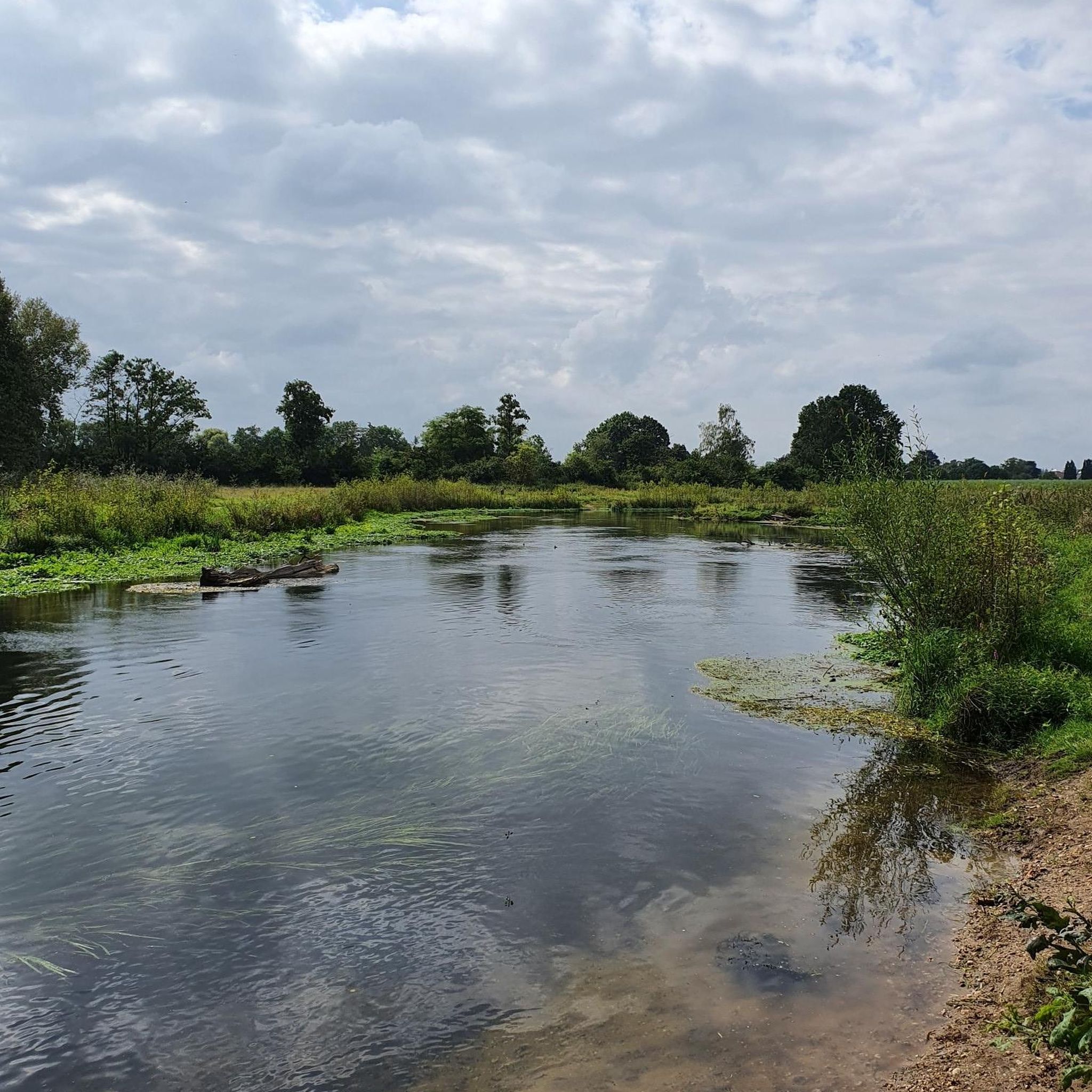
Hikes from bus stations in Loch Lomond And The Trossachs
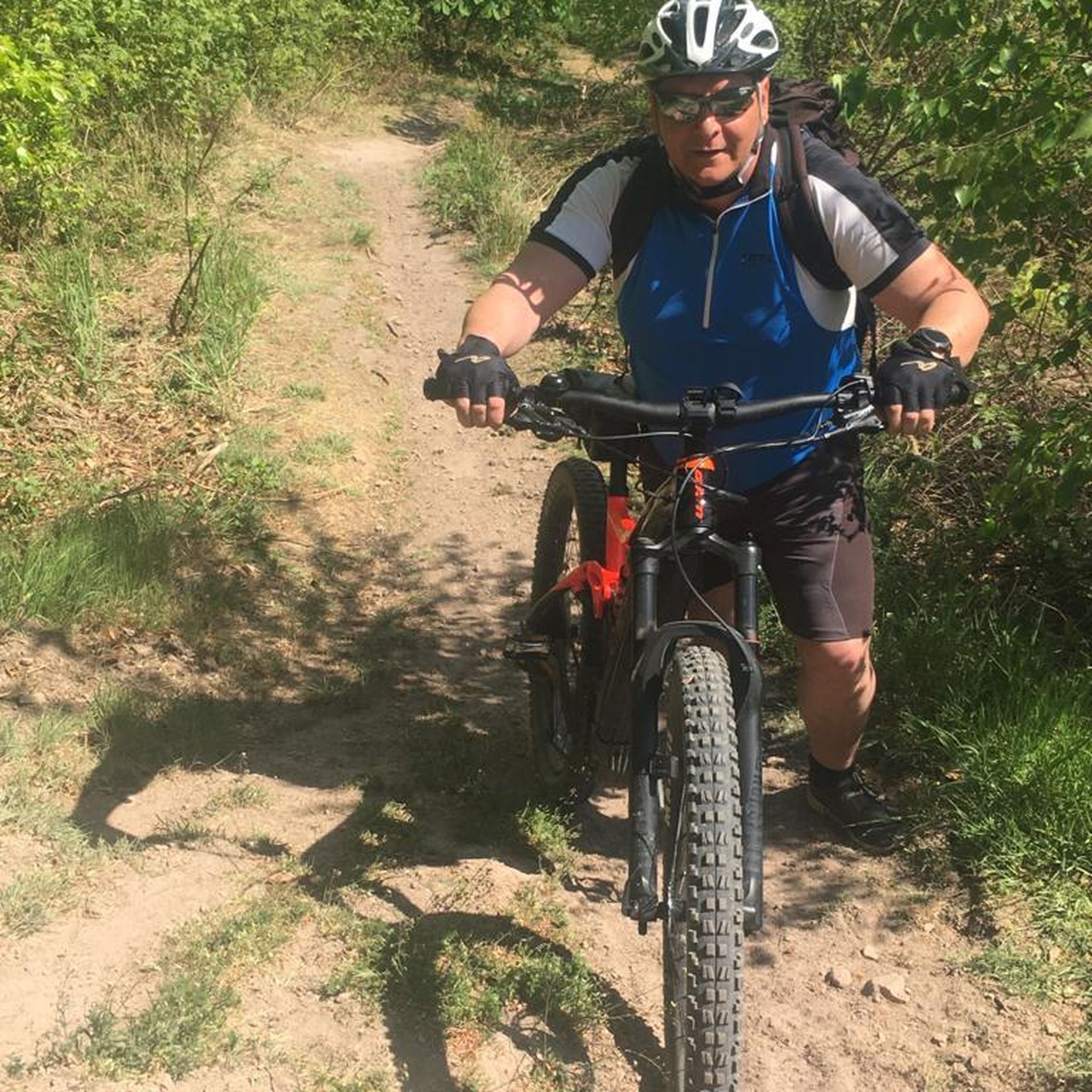
Hikes from bus stations in Loch Lomond
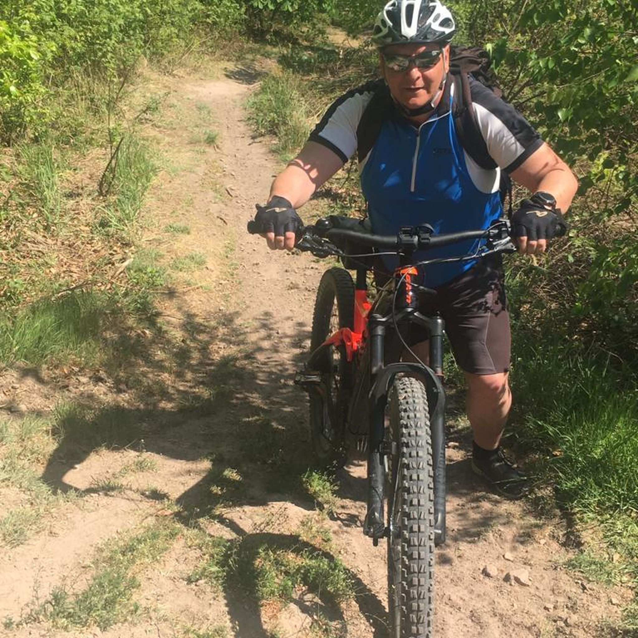
Hikes from bus stations around Loch Lomond
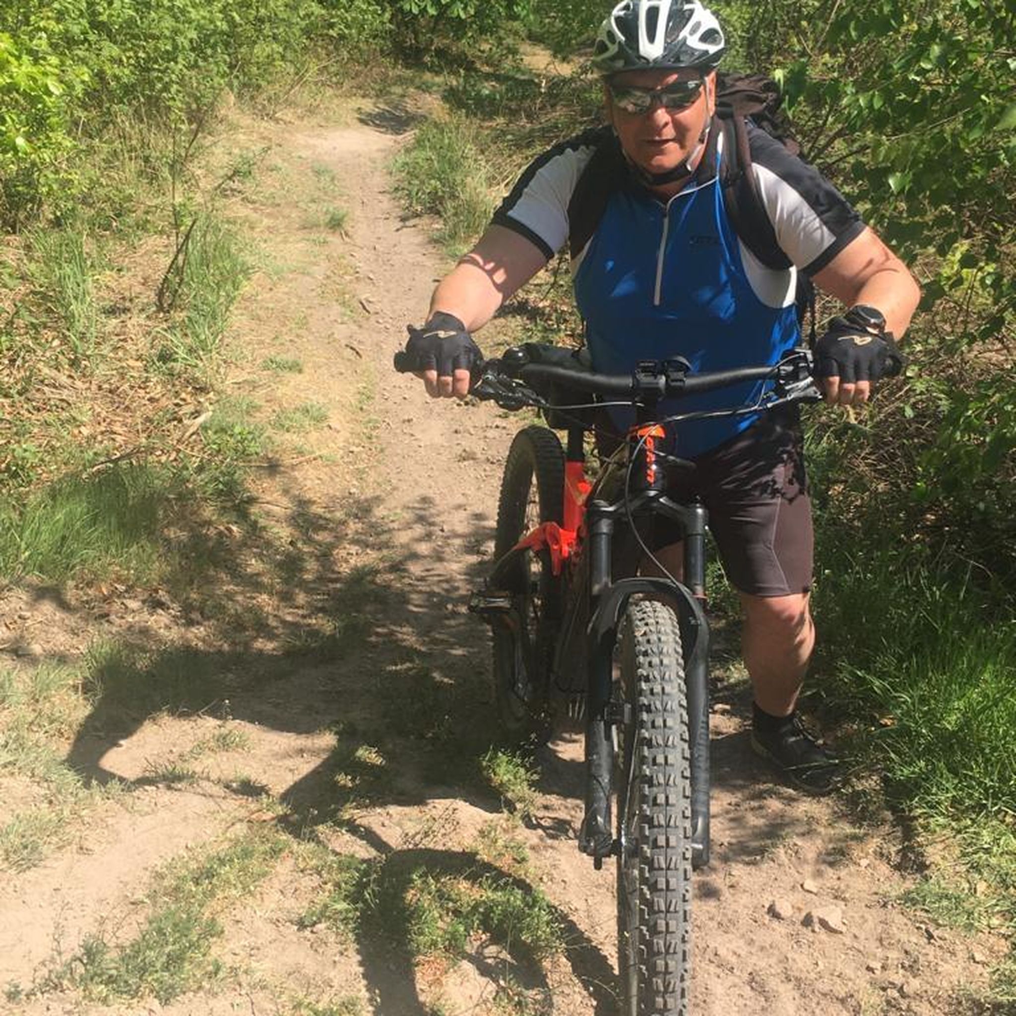
Hikes from bus stations around Loch Arklet
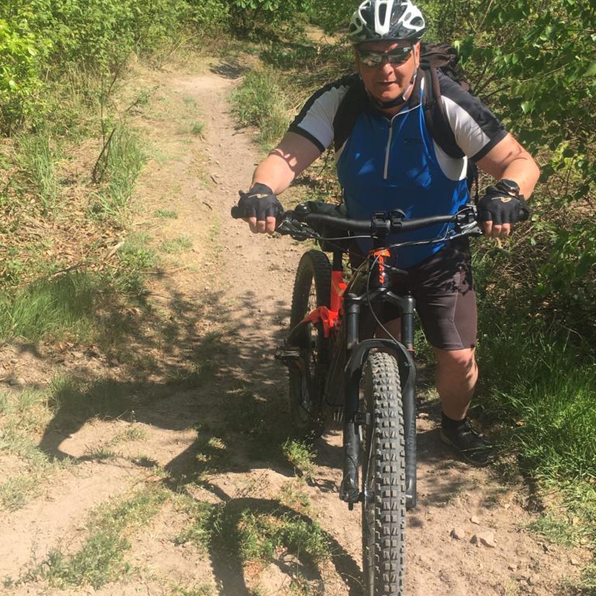
Hikes from bus stations around Loch Katrine
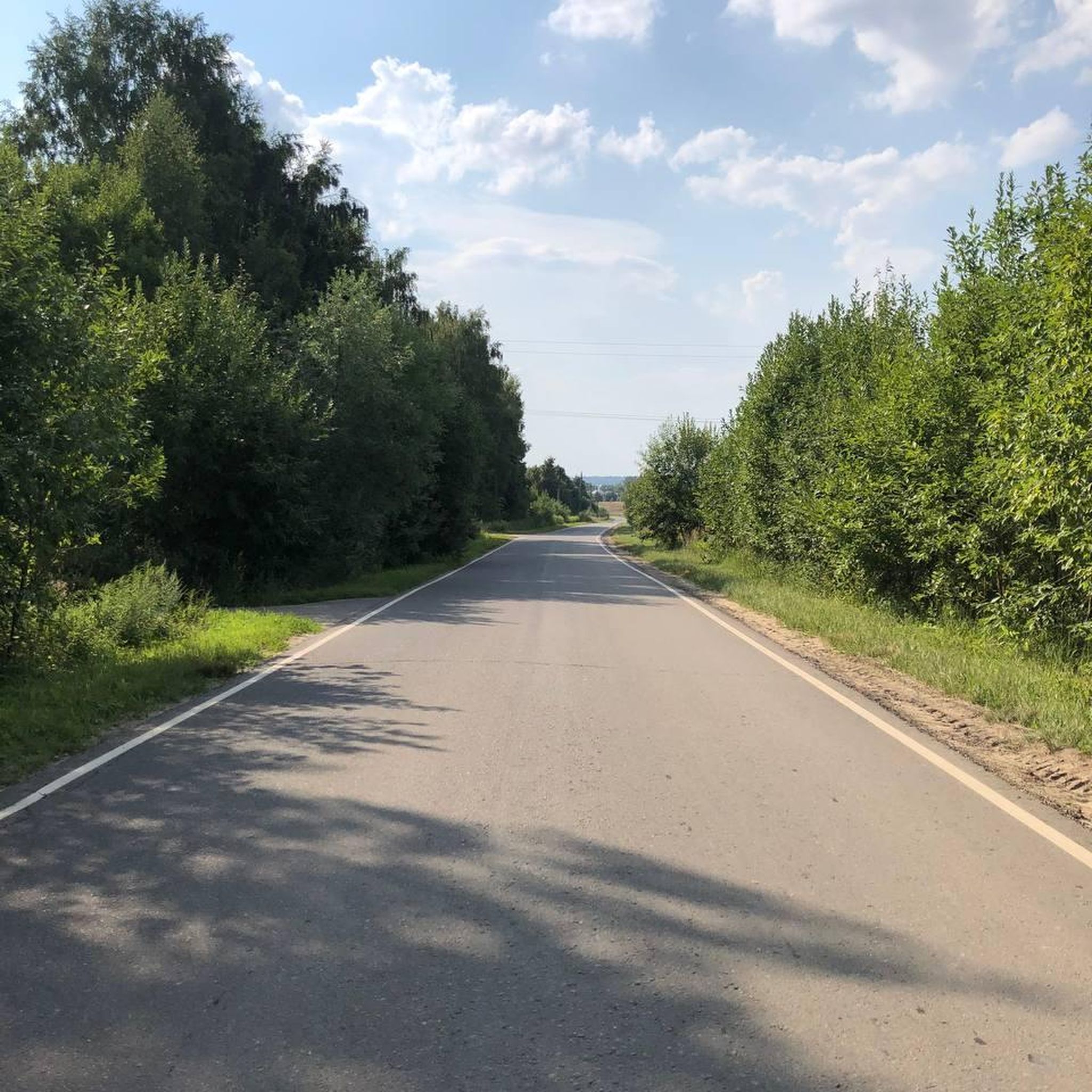
Hikes from bus stations around Flanders Moss National Nature Reserve
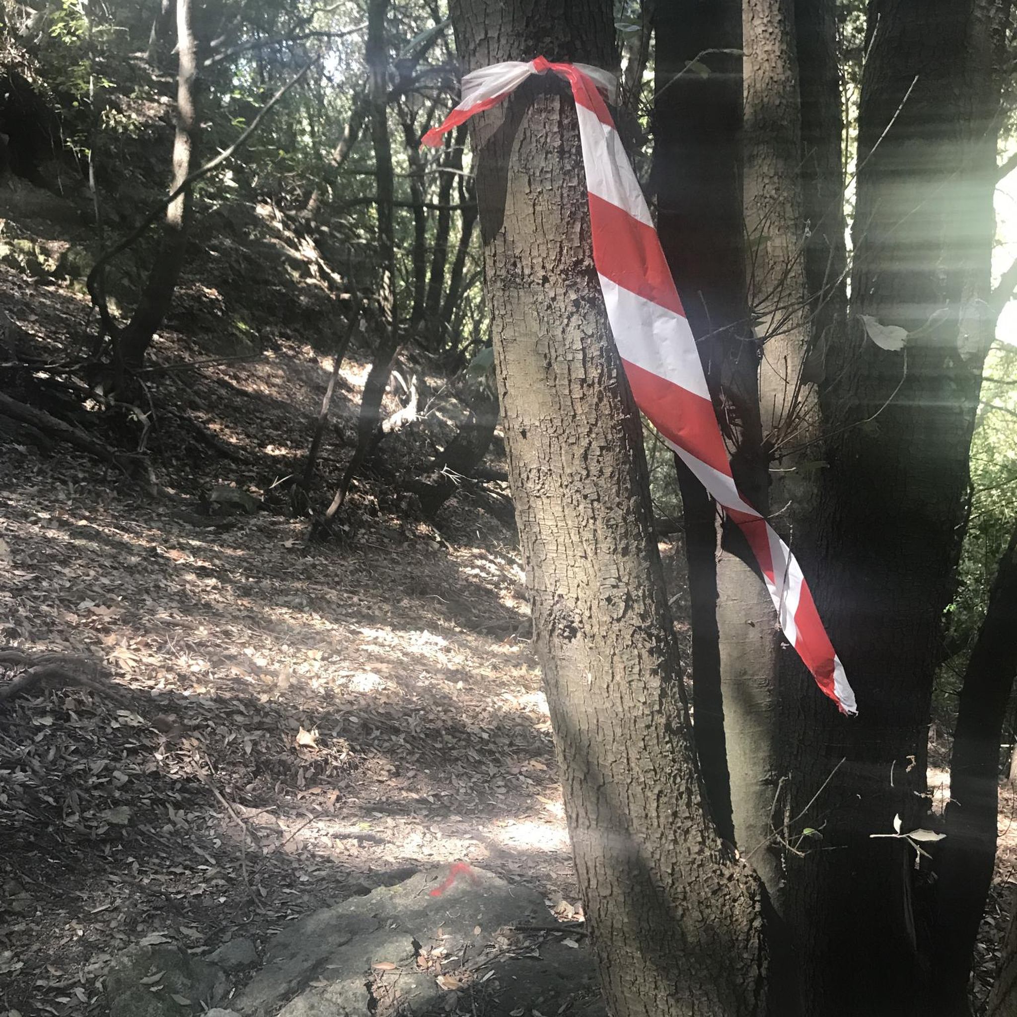
Hikes from bus stations around Loch Mahaick
Hikes from bus stations around Callander
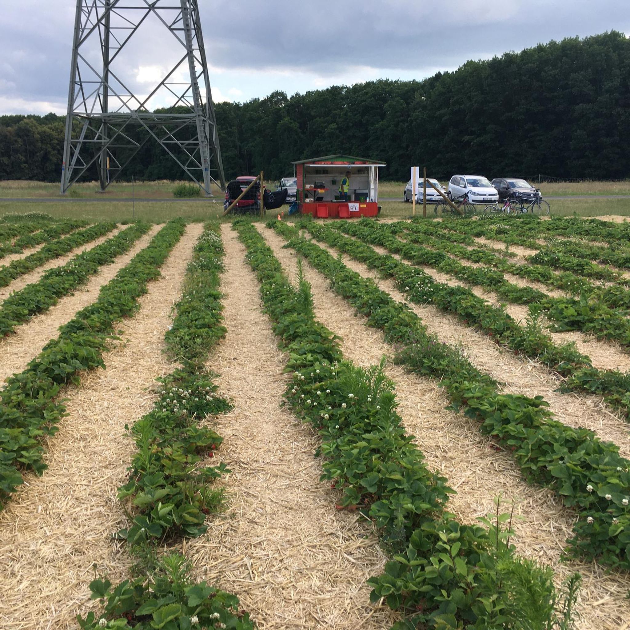
Hikes from bus stations around Torrie Forest
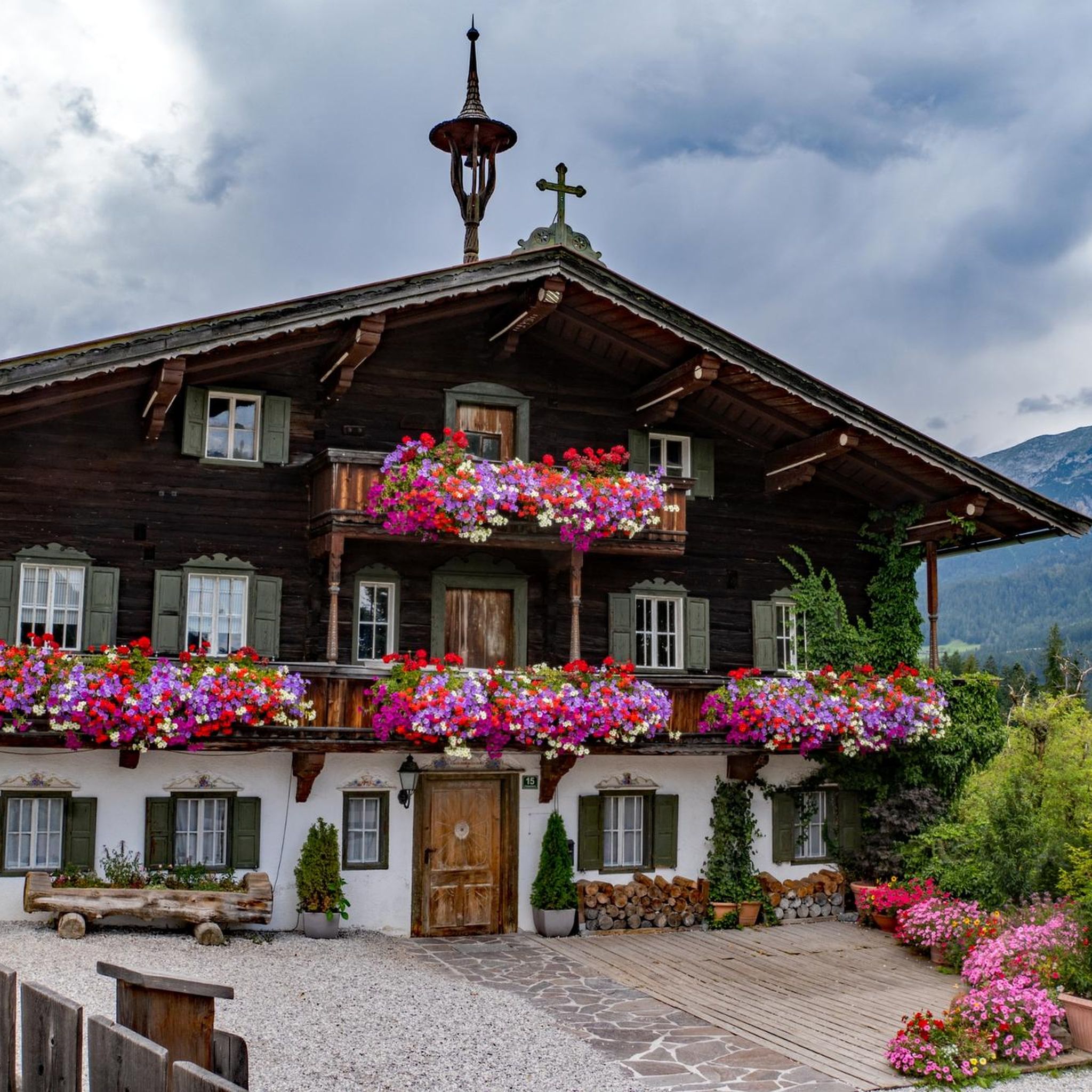
Hikes from bus stations around Killearn
Other adventures in Stirling


Tips from the Community

Beautiful path that highlights the dimension of Loch Lomond.
0
0
There are stone steps for over 2km - so it's worth getting out your hiking poles...
0
0
Imposing view that you have to let sink in once you are there. However, you are not alone up here either.
0
0

Looks like it's been glued back together. Poor old Fingle.
0
0


You can cover the whole ridge wich has lovely 360 views and even connect with the Bracklinn Falls loop. Well worth it!
0
0

There’s a good flow of water over threes falls even in summer months. Perhaps a better fall than Bracklinn when there’s been little rain, and the pools beneath are more accessible. The paths can be overgrown with bracken in July / August.
0
0

Balmaha at 19 miles (30.5 km) is the first official checkpoint on the West Highland Way race. On the shore of Loch Lomond, it's accessible by road or ferry. There is a visitor centre, cafés and restaurants. Good spot to run Conic Hill if you aren't running the whole WHW. There is a statue of Tom Weir, staring across the loch. Tom was a lifelong lover of Scotland as well as a writer, broadcaster and climber.
0
0
Frequently Asked Questions
How many hiking trails are accessible from bus stations in Stirling?
There are over 200 hiking routes in the Stirling area that are easily accessible from various bus stations, offering a wide range of options for all skill levels. These include 95 easy, 106 moderate, and 25 difficult trails.
What kind of landscapes can I expect on bus-accessible hikes around Stirling?
Stirling, known as the 'Gateway to the Highlands,' offers incredibly diverse landscapes. You can expect to find rolling woodlands, gentle hills, dramatic glens, and serene lochs. Many routes provide stunning views of the Ochil Hills, the River Forth, and even glimpses into Loch Lomond & The Trossachs National Park.
Are there easy or beginner-friendly hiking routes from Stirling's bus stations?
Yes, there are plenty of easy and beginner-friendly options. For example, the route from Balmaha to the Loch Lomond Beach is an easy 4.5 km loop. Many trails around historic sites like Abbey Craig also offer gentle walks suitable for those new to hiking.
Can I find circular hiking routes starting from Stirling bus stations?
Absolutely. Many routes are designed as circular walks, allowing you to start and end at the same point, often conveniently near a bus stop. An example is the Bracklinn Falls – Keltie Waterfalls loop from Callander, which offers a moderate 7.5 km circular hike.
Are there family-friendly hiking trails accessible by bus from Stirling?
Yes, Stirling offers several family-friendly routes. Many of the easier trails, particularly those around woodlands or along the River Forth, are suitable for families. The paths around the National Wallace Monument on Abbey Craig are also popular for their accessibility and engaging historical context.
Are dogs allowed on hiking trails accessible from Stirling bus stations?
Most hiking trails in the Stirling area are dog-friendly, provided dogs are kept under control, especially around livestock or wildlife. It's always a good idea to check specific trail guidelines, but generally, you'll find many routes suitable for walking with your canine companion.
What are some notable viewpoints or attractions I can reach on bus-accessible hikes?
Many routes lead to spectacular viewpoints and historical attractions. You can hike to the Stirling Castle, which offers panoramic views over the Stirlingshire countryside. Another popular destination is the View of Loch Lomond from Conic Hill, accessible via routes like Conic Hill – UK Hill Walks for Beginners. Other highlights include Mugdock Castle and Doune Castle.
What is the best time of year for hiking near Stirling's bus stations?
Spring and autumn are particularly beautiful for hiking in Stirling. In spring, woodlands burst with bluebells, and in autumn, the foliage offers vibrant colours. Summer provides longer daylight hours, while winter can offer crisp, clear days, though some higher routes may require appropriate gear for snow and ice.
Are there any routes that feature waterfalls accessible by bus?
Yes, you can find routes that lead to impressive waterfalls. The Bracklinn Falls – Keltie Waterfalls loop from Callander is a fantastic option, allowing you to experience the dramatic cascades of Bracklinn Falls.
What do other hikers enjoy most about hiking in Stirling?
The area is highly rated by the komoot community, with an average score of 4.5 stars. Reviewers often praise the stunning variety of landscapes, from the gentle river paths to the more challenging hill climbs, and the convenience of accessing these diverse trails directly from public transport hubs.
Can I hike to Stirling Castle or the National Wallace Monument from a bus station?
Yes, both iconic landmarks are accessible via hiking routes from bus stations. You can find paths that lead directly to the Stirling Castle grounds, and the National Wallace Monument on Abbey Craig is surrounded by a network of trails easily reached by bus.
Most popular routes in Stirling
Most popular attractions in Stirling

Get inspired with the komoot mobile app


Didn’t find what you were looking for?
Check out more Hikes throughout Stirling below and find the perfect route in your destination.
Explore more
Browse the best Hikes in other regions.
