The best MTB trails around Luftenberg an der Donau
4.6
(18)
156
riders
22
rides
Mountain biking around Luftenberg an der Donau offers diverse landscapes, from the scenic Danube River banks to hilly terrain and forested areas. The region features varied topography with elevated sections that provide climbs and descents for mountain bikers. Trails often crisscross these natural features, offering a mix of riverside paths and more challenging routes through the Upper Austrian countryside.
Best mountain bike trails around Luftenberg an der Donau
- The most popular mountain bike trail is Three Beeches Cross – Pfenningberg…
Last updated: July 5, 2026
4.5
(4)
33
riders
Hard mountain bike ride. Very good fitness required. Advanced riding skills necessary. Some portions of the route may require you to push your bike.
13
riders
Easy mountain bike ride. Great for any fitness level. Suitable for all skill levels.

Sign up for free
4.5
(2)
13
riders
22.0km
01:18
180m
180m
Easy mountain bike ride. Great for any fitness level. Suitable for all skill levels.
8
riders
Moderate mountain bike ride. Good fitness required. Advanced riding skills necessary.
7
riders
Moderate mountain bike ride. Good fitness required. Advanced riding skills necessary.
Get access to more routes and recommendations from other explorers.
Sign up for free
Already have an account?
Our route recommendations are based on thousands of hikes, rides, and runs completed by other people on komoot.
Start today with a free account
Your next adventure awaits.
Login or Signup


Tips from the Community

Important information: Due to its poor data management, Komoot contains numerous inaccuracies that are unfortunately not updated by the site operators, Komoot. For accurate data and current trail closures, please visit our dedicated website: www.uppertrails.at The routing function on Komoot also provides numerous inaccuracies and trail closures. As the trail operators, we strongly recommend deleting this app if you wish to mountain bike legally. There are several reputable products and portals available that you can use for your tour planning (Brouter, Trailforks, etc.). Best regards, your Trail Team
1
0

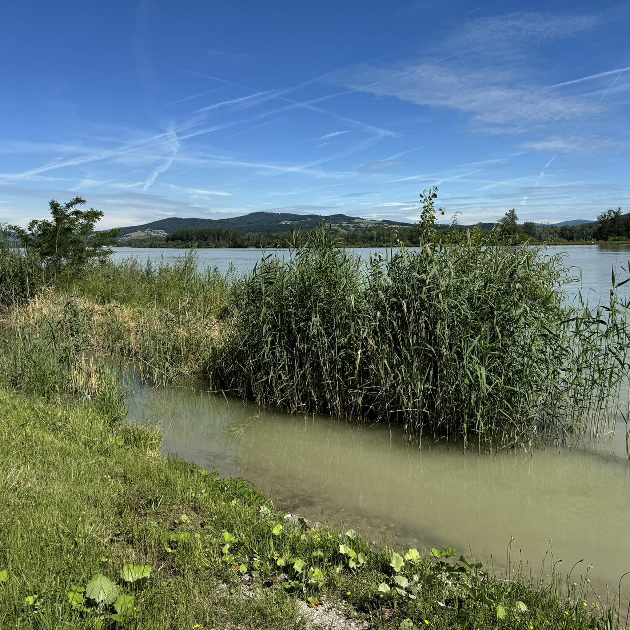
A lovely spot for a break when the weather is nice.
5
0

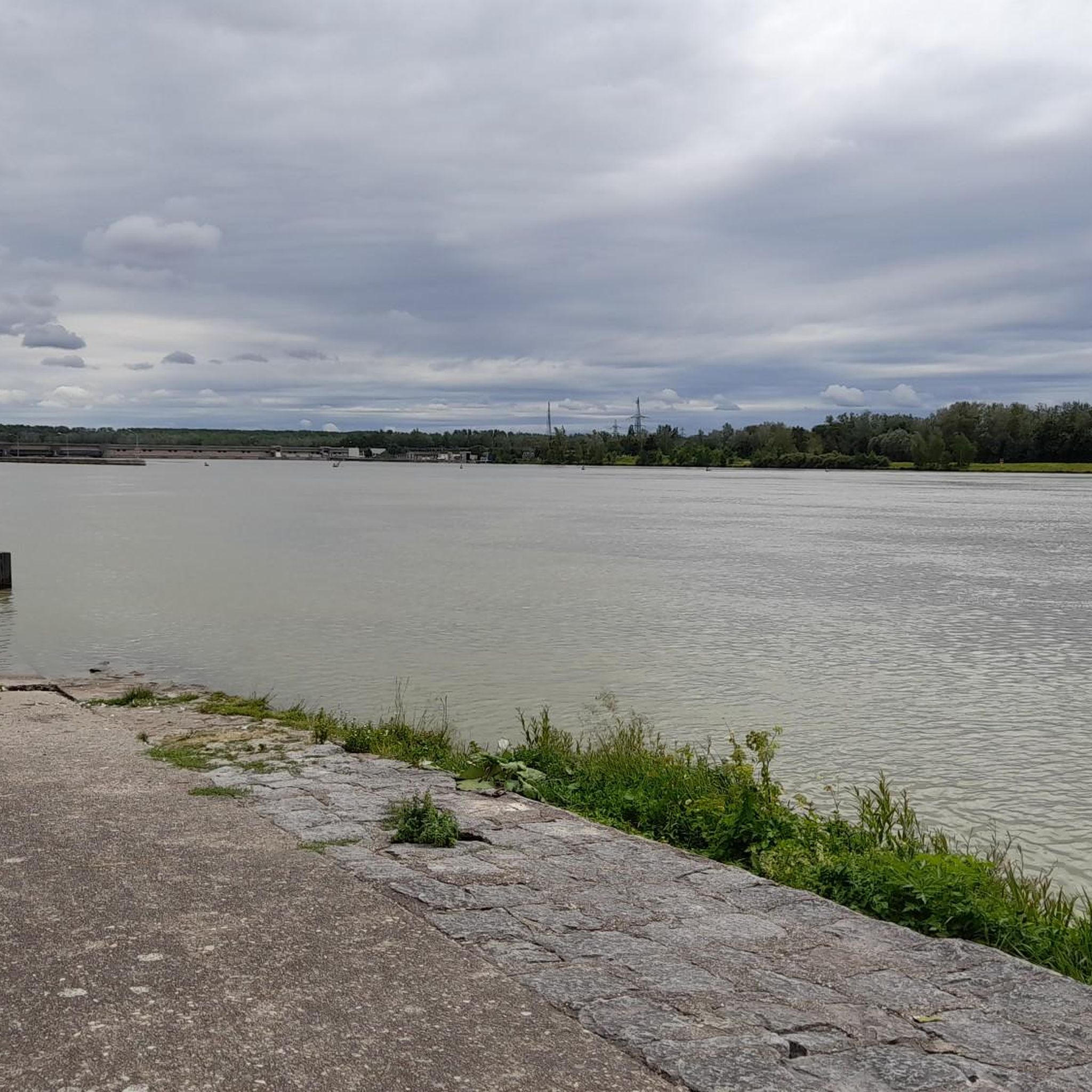
A single-lane road runs over the power plant and is open to pedestrians and cyclists.
1
0

Don't miss the turnoff to the Wiesentrail in front of the inn!
0
0

The sun lounger at the rest area is already well attended 😎
0
0

A Linz city summit for every season and every type of weather.
2
0

Nice section if you want to cycle from Abwinden towards Mauthausen (or vice versa). Unfortunately you then have to take the B1 towards Ennsdorf to get back onto a nice cycle path to the Mauthausen Bridge
0
0
Unfortunately, you can only visit the monastery from the outside.
1
0
Frequently Asked Questions
How many mountain bike trails are there in Luftenberg an der Donau?
There are over 20 mountain bike trails available around Luftenberg an der Donau, offering a variety of experiences for different skill levels.
What are the difficulty levels of mountain bike trails in Luftenberg an der Donau?
The trails range from easy to difficult. You'll find 8 easy routes, 13 moderate routes, and 1 difficult route, ensuring options for beginners and experienced riders alike.
What kind of terrain can I expect when mountain biking in Luftenberg an der Donau?
You can expect diverse terrain, from scenic Danube River banks to hilly and forested areas. The region features varied topography with elevated sections that provide climbs and descents, alongside more gentle riverside paths.
Are there family-friendly mountain bike routes in the area?
Yes, there are several easy routes suitable for families. For example, the Enns Main Square – Enns Town Square and Old Town loop from St. Georgen an der Gusen is an easy 16.9-mile path with minimal elevation changes, perfect for exploring the historic town of Enns.
What can I see along the mountain bike trails in Luftenberg an der Donau?
Many routes offer scenic views of Linz, Steyregg, and even the Alps from certain vantage points. You can also encounter natural features like the Danube River and the lovely reservoir area of the Abwinden Danube Power Station. Notable highlights include the Pfenningberg Summit Cross and the Three Beeches Cross.
Are there circular mountain bike routes available?
Yes, many routes are designed as loops. An example is the Pulgarn Monastery Church – Danube Cycle Path Signage loop from Luftenberg, a 13.7-mile trail that takes you through the Danube region.
What do other mountain bikers enjoy most about mountain biking in Luftenberg an der Donau?
The area is highly rated by the komoot community, with an average score of 4.6 stars from over 10 reviews. Riders often praise the diverse landscapes, from riverine paths to challenging elevated trails, and the scenic views.
Where can I find parking for mountain biking in Luftenberg an der Donau?
Many trailheads, especially those starting from towns like St. Georgen an der Gusen or Luftenberg, offer designated parking. It's advisable to check the specific route details on komoot for parking information near your chosen starting point.
Is public transport available to reach the mountain bike trails?
Luftenberg an der Donau is part of Upper Austria's public transport network. While direct access to all trailheads might vary, you can often reach nearby towns and then cycle to the starting points. Checking local bus or train schedules is recommended.
Are there any places to eat or stay near the trails?
Yes, the region offers various cafes, pubs, and accommodations, particularly in towns like Enns and St. Georgen an der Gusen, which are common starting points for many routes. You can find options for refreshments and overnight stays to complement your biking trip.
What is the best time of year for mountain biking in Luftenberg an der Donau?
The best time for mountain biking is typically from spring through autumn, when the weather is mild and the trails are dry. Summer offers longer daylight hours, while spring and autumn provide pleasant temperatures and beautiful scenery. Winter riding can be possible but may involve snow or ice on higher or less maintained trails.
Are there any trails with significant elevation gain for a challenge?
Absolutely. For a challenging ride with significant elevation, consider the Three Beeches Cross – Pfenningberg Summit Cross loop from St. Georgen an der Gusen. This difficult 21.7-mile route includes substantial climbing and offers panoramic views.
Most popular routes around Luftenberg an der Donau
Most popular attractions around Luftenberg an der Donau

Get inspired with the komoot mobile app


Explore more
Browse the best MTB trails in other regions.
