The best family-friendly hikes and walks in North Yorkshire
4.5
(24214)
194,128
hikers
5,176
hikes
Family friendly hiking trails in North Yorkshire traverse a diverse landscape, encompassing two national parks: the Yorkshire Dales and the North York Moors. The region features rolling hills, expansive moors, dramatic limestone formations, and scenic coastlines. Hikers can explore a variety of terrains, from tranquil riverside paths in the dales to open heather-clad expanses and dense woodlands.
Best family friendly hiking trails in North Yorkshire
- The most popular family friendly hiking route is Yorkshire Three Peaks Challenge, a 25.2 miles (40.6 km) trail that takes 12 hours 40 minutes to complete. This challenging route offers expansive views across the national park.
- Another top favourite among local hikers is Pen-y-Ghent loop from Horton in Ribblesdale, a moderate 6.6 miles (10.7 km) path. This route features significant elevation gain and panoramic vistas from the summit.
- Local hikers also love the Malham Cove and Gordale Scar loop from Malham — Yorkshire Dales National Park, a 4.8 miles (7.8 km) trail leading through dramatic limestone scenery, often completed in about 2 hours 20 minutes.
- Hiking in North Yorkshire is defined by rolling dales, rugged moors, and impressive waterfalls. The extensive network of routes offers options for various ability levels, including many family friendly hiking trails.
- The routes in North Yorkshire are highly rated by the komoot community with an average score of 4.5 stars from over 20,000 reviews. More than 180,000 hikers have used komoot to explore North Yorkshire's varied terrain.
Last updated: August 21, 2026
4.7
(397)
5,447
hikers
40.6km
12:40
1,420m
1,420m
Embark on the Yorkshire Three Peaks Challenge, a demanding hike that covers 25.2 miles (40.6 km) through the stunning Yorkshire Dales National Park. You will experience diverse terrain, from rough and boggy sections to well-maintained paths, as you tackle steep ascents on iconic peaks like Pen-y-Ghent and Ingleborough. The route offers panoramic views across the Ribble Valley, and from Whernside Summit on a clear day, you might even glimpse Morecambe Bay and the Irish Sea, with the impressive Ribblehead Viaduct below.
Planning your visit requires careful consideration for this difficult route, which typically takes around 12 hours and 39 minutes to complete. The challenge is very popular, so expect significant foot traffic, especially during peak seasons. The peaks are exposed to strong winds and changeable weather, so always prepare thoroughly for all conditions. You can find parking and public transport options in villages such as Horton-in-Ribblesdale, a common starting point for many hikers.
This iconic challenge is a serious undertaking, attracting hikers who seek a demanding yet incredibly rewarding experience in the heart of the Dales. The route is known for its unique combination of natural beauty and physical exertion, making it a standout adventure in the region. It's a true test of endurance and spirit, offering a deep connection to the rugged landscape and a sense of accomplishment upon completion.
4.8
(411)
3,605
hikers
This difficult 4.9-mile (7.8 km) hike, with 678 feet (207 metres) of elevation gain, takes about 2 hours and 19 minutes to complete. You will explore the dramatic limestone landscapes of the Yorkshire Dales, passing iconic features like the towering Malham Cove and the impressive Gordale Scar. The route features varied terrain, from tranquil woodland paths to rocky sections and the unique limestone pavement at the top of Malham Cove, offering panoramic views of the surrounding Dales.
Begin your hike from Malham village, where you can find toilets and other amenities. The trail is mostly dog-friendly, but keep your dog on a lead near livestock, and be aware that the scramble at Gordale Scar might not be suitable for all dogs; an alternative route is available to bypass it. You should check weather conditions before you go, as the limestone pavement can be slippery when wet. Spring and summer offer pleasant weather and wildflowers, making them ideal times to visit.
This loop is a classic in the Yorkshire Dales, celebrated for its unique geological features and diverse natural beauty. Malham Cove, an iconic amphitheater-shaped cliff, was formed by glacial meltwater over 12,000 years ago, and its distinctive limestone pavement is a result of thousands of years of erosion. You might recognize Malham Cove from its appearance in *Harry Potter and the Deathly Hallows: Part 1*. The optional scramble at Gordale Scar adds an adventurous element if you are seeking a greater challenge.

Sign up for free
4.9
(397)
3,343
hikers
10.7km
03:26
450m
450m
Embark on a moderate 6.6-mile (10.7 km) hike around Pen-y-Ghent, a journey that typically takes about 3 hours and 25 minutes to complete. You will climb 1485 feet (453 metres) along varied terrain, enjoying panoramic views across the Yorkshire Dales. The ascent to Pen-y-Ghent's distinctive 'lion-shaped' summit offers craggy vistas, and on clear days, you can spot Whernside and Ingleborough in the distance. Expect rocky paths and potentially boggy sections, especially after rain, making for a true Dales hiking experience.
Horton in Ribblesdale serves as the traditional starting and ending point for this loop, with parking readily available in the village. When planning your visit, be prepared for potentially boggy sections, particularly after wet weather, and rocky paths that may require some light scrambling as you approach the summit. Always check the weather forecast before you go, as conditions can change quickly in the Dales.
This trail is a popular choice in the Yorkshire Dales National Park, offering more than just a climb. You have the option to detour to Hunt Pot Waterfall, a significant natural monument, or visit Hull Pot, England's largest natural hole, which can feature impressive waterfalls after heavy rain. These natural features add unique points of interest to your hiking adventure.
4.9
(323)
2,893
hikers
13.3km
04:03
430m
430m
Embark on the Three Peaks Walk, a moderate hiking route that takes you through the varied landscapes of Yorkshire Dales National Park. This circular trail spans 8.3 miles (13.3 km) and involves a total elevation gain of 1427 feet (435 metres), typically completed in about 4 hours and 3 minutes. You will experience everything from open moorland to lush valleys, with the impressive Ribblehead Viaduct serving as a striking landmark along your journey.
Before you set out, remember to check local conditions, as this trail is a popular choice for exploring the Dales. While there are no specific warnings about permits or seasonal closures, it is always wise to confirm current access. Parking is generally available near the main trailheads, making it convenient for you to start your adventure.
This route is celebrated for its stunning views across the national park, particularly from the Whernside Summit. Beyond the panoramic vistas, you can also discover the natural beauty of Low Force Waterfall, also known as Force Gill. The Three Peaks Walk offers a rewarding challenge and a deep immersion into the unique character of the Yorkshire Dales.
4.8
(206)
1,261
hikers
11.1km
03:17
200m
200m
Embark on the Malham Cove, Gordale Scar and Malham Tarn Circular, a challenging 6.9-mile (11.1 km) hike through the stunning Yorkshire Dales. This route guides you past the picturesque Janet's Foss waterfall before leading you to the dramatic towering cliffs of Gordale Scar. You will gain 666 feet (203 metres) of elevation over approximately 3 hours and 17 minutes, experiencing both tranquil landscapes around Malham Tarn and the unique limestone pavement of Malham Cove.
This trail is considered difficult, particularly the scramble up the waterfall at Gordale Scar. If you prefer to avoid this section, especially when it's wet and potentially slippery, an alternative route is available. Remember to wear appropriate footwear and exercise caution when walking across the uneven limestone pavement at Malham Cove, as conditions can be tricky, especially after rain.
The Malham Cove, Gordale Scar and Malham Tarn Circular offers a unique blend of geological wonders and serene natural beauty. You will encounter some of the finest limestone scenery in the Yorkshire Dales, from the impressive glacial lake of Malham Tarn to the awe-inspiring natural amphitheater of Malham Cove. This popular circular walk provides a memorable adventure for those seeking a demanding yet rewarding outdoor experience.
Get access to more routes and recommendations from other explorers.
Sign up for free
Already have an account?
Our route recommendations are based on thousands of hikes, rides, and runs completed by other people on komoot.
Start today with a free account
Your next adventure awaits.
Login or Signup
Popular around North Yorkshire

Family-friendly hikes in Yorkshire Dales National Park

Family-friendly hikes around Scarborough

Family-friendly hikes around Ryedale

Family-friendly hikes around Harrogate

Family-friendly hikes around Hambleton

Family-friendly hikes around Richmondshire

Family-friendly hikes around Selby
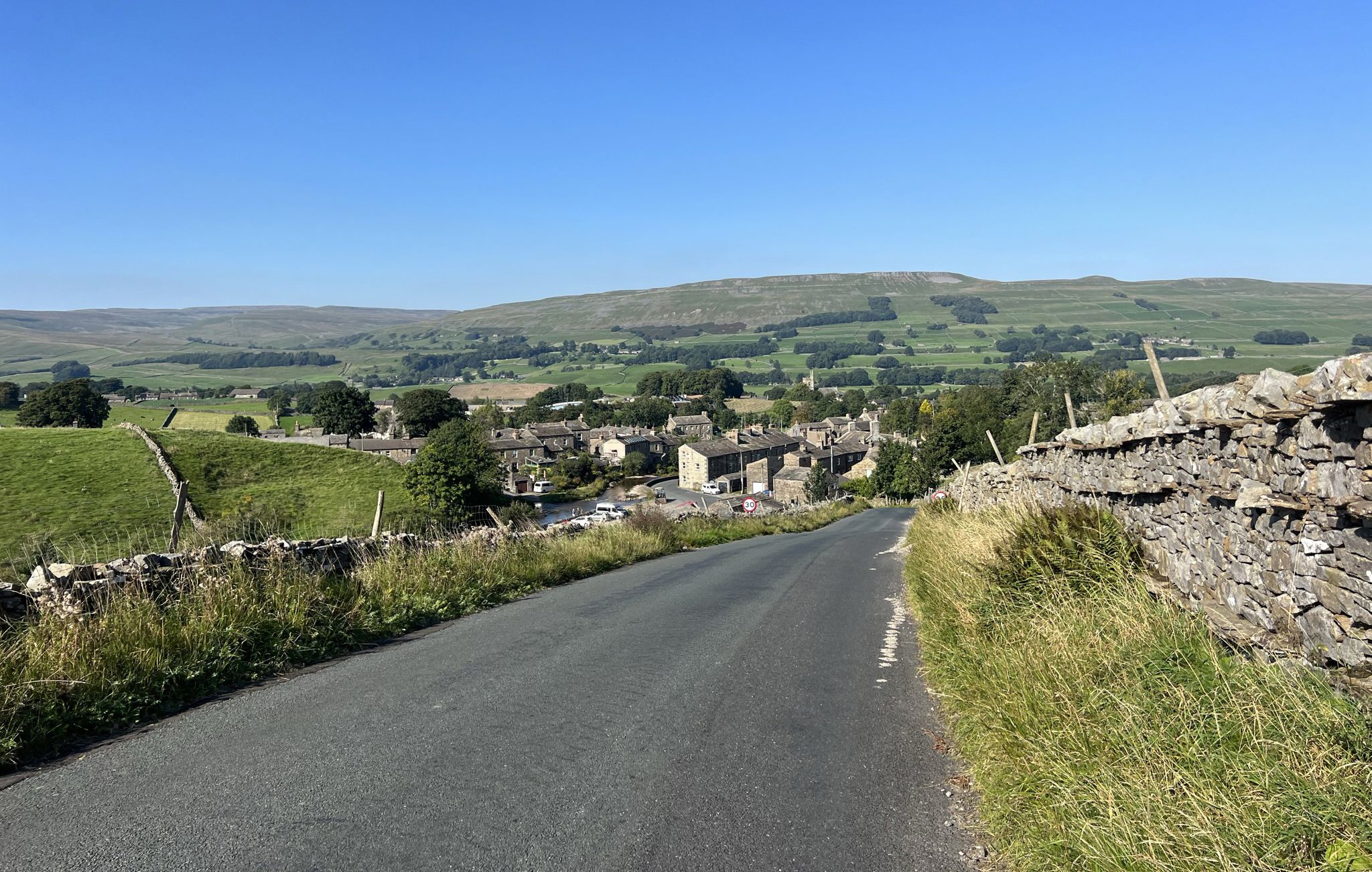
Yorkshire Dales National Park – A Walk in the Parks
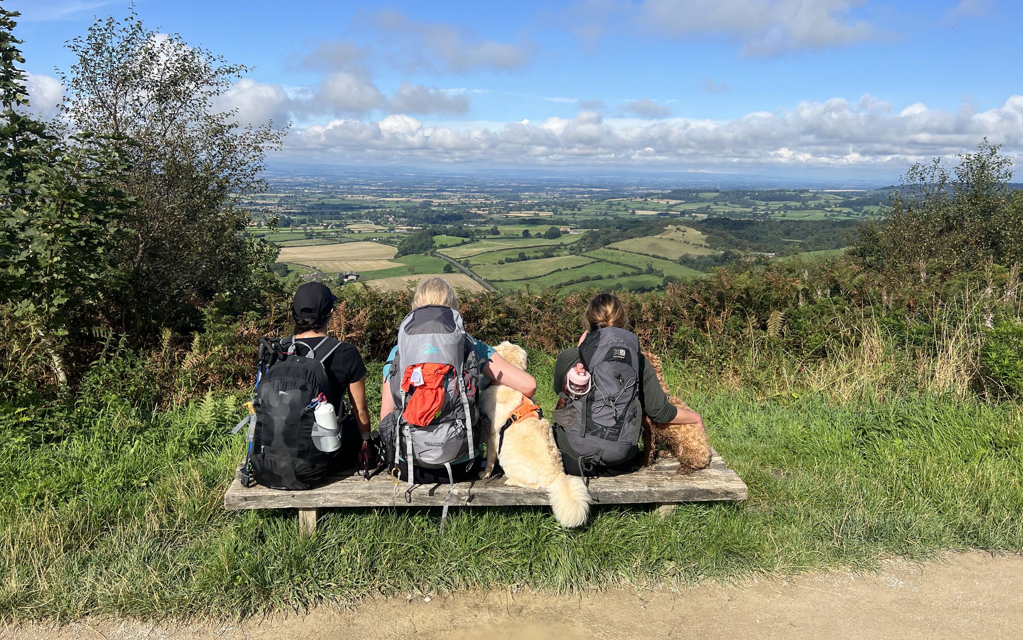
North York Moors National Park – A Walk in the Parks
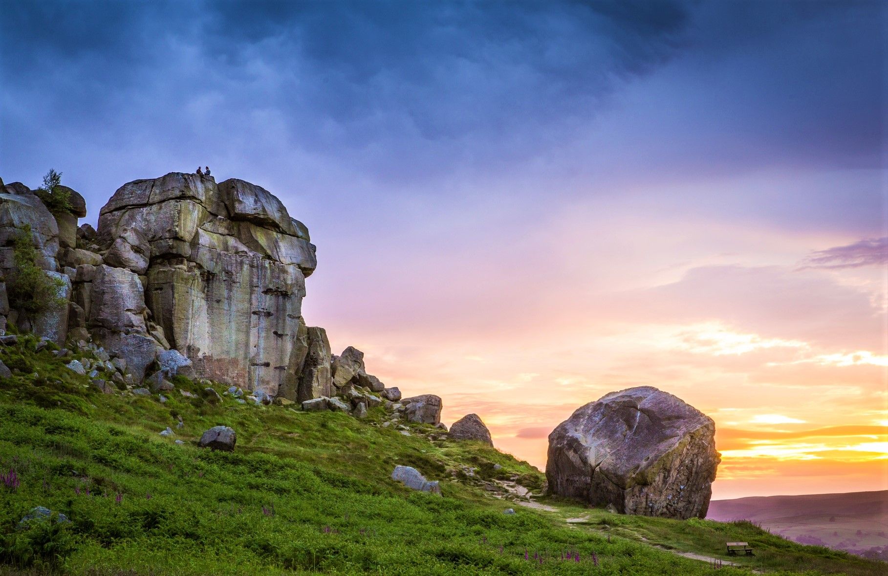
Ebor Way – Discover Yorkshire's scenic splendour
Other adventures in North Yorkshire


Tips from the Community

Look closely at the pillars. Every 6th one is about 50% thicker than the others. This was an insurance policy; in theory the line would still hold if one of the other pillars collapsed.
0
0

Well you can’t miss it that’s for sure wish I had time to go over to it.. maybe next time
0
0

Hunt Pot is a striking vertical shaft of about 60 meters in depth located on the western slopes of Pen-y-Ghent. Grid reference: SD 82635 74040
0
0

Where the scene in Harry Potter was filmed where Harry and Hermione sat in the Deathly Hallows. Harry & Hermione set up camp in a tent on the Limestone Pavement at the top of Malham Cove, scenes from the film feature views across Malhamdale including the view to Cawden and down to Malham Village and Kirkby Malham. There is amazing views from this point over the scarred landscape. Malham Cove is a 70m (230ft) high curved crag of carboniferous limestone formed after the last ice age. Meltwater, particularly from Malham Tarn, cut back the cove as it fell over the edge as a waterfall. This erosion took place more actively at the lip of the fall, hence the curved shape. The cove was formed by glaciers that plucked rock from the cliff face and carried it away, and by meltwater that eroded the cliff face after the glaciers melted. The top of the cove is a limestone pavement with a distinctive pattern of limestone blocks called clints and fissures called grykes. The grykes have a more humid and warmer microclimate than the pavement, which supports different plant life. The top of the limestone has dry, stony conditions that support plants like Rock Rose and Thyme. Malham Cove once had a waterfall that was larger than Niagara Falls. The last time water flowed over the waterfall was in the 19th century, until extreme rain in 2015. Malham Cove is a short walk from the village of Malham, and is popular with rock climbers. Malham Cove has been featured in several films and TV shows, including Wuthering Heights, the previously mentioned Harry Potter and the Deathly Hallows, and The Trip.
1
0

Malham Cove is a large curved limestone formation a short walk from the village of Malham. It was formed by a waterfall carrying meltwater from glaciers at the end of the last Ice Age. Easy access to the cove from Malham and there are steps to the side of the cove which allow you to climb to the top. Careful very slippery at the top when on the limestone pavement in wet conditions.
1
0

Blea moor ..I think it's still in use but I'm not sure
0
0

The 70 metre (230ft) high, gently curving cliff of white limestone is a Yorkshire Dales gem. It has some unique and rare limestone formations at the top of the cliff. You may recognise scenes from Harry Potter and The Deathly Hallows which featured the unique limestone pavement and views down to Malham Village and Kirkby Malham.
1
0
Frequently Asked Questions
How many family-friendly hiking trails are available in North Yorkshire?
North Yorkshire offers a vast network of trails, with over 5,000 hiking routes in total. For family-friendly options, you'll find nearly 2,000 easy routes that are perfect for all ages and abilities, ensuring plenty of choices for your family adventure.
What kind of natural features can we expect to see on family-friendly hikes in North Yorkshire?
North Yorkshire's family-friendly trails often lead to stunning natural features. You can explore dramatic limestone formations like Malham Cove, discover picturesque waterfalls such as Janet's Foss, or marvel at the unique, weather-sculpted rocks of Brimham Rocks. The region also boasts beautiful dales, expansive moors, and serene woodlands like Dalby Forest.
Are there any circular family walks in North Yorkshire?
Yes, North Yorkshire has many excellent circular routes suitable for families. These loops often start and end in the same location, making logistics easier. For example, the Pen-y-Ghent loop from Horton in Ribblesdale offers a rewarding experience for families with older children, while many forest and riverside walks provide gentler circular options.
What is the best time of year to go hiking with family in North Yorkshire?
North Yorkshire is beautiful year-round, but spring and summer offer the most pleasant weather for family hikes, with wildflowers blooming and longer daylight hours. Autumn brings stunning foliage, especially in the woodlands. Winter walks can be magical, but require appropriate gear and checking trail conditions, especially in higher elevations of the Yorkshire Dales or North York Moors.
Are there any easy, accessible trails suitable for toddlers or pushchairs?
Many areas in North Yorkshire offer accessible trails perfect for toddlers and pushchairs. Dalby Forest, for instance, has numerous well-maintained, relatively flat paths. Look for routes designated as 'easy' on komoot, and check the route descriptions for surface information to ensure they are suitable for your specific needs.
What do other hikers say about family-friendly trails in North Yorkshire?
The komoot community highly rates the family-friendly trails in North Yorkshire, with an average score of 4.5 stars. Reviewers often praise the diverse landscapes, the clear signage on many routes, and the abundance of natural attractions like waterfalls and unique rock formations that keep children engaged.
Can we find trails that include historical sites or points of interest?
Absolutely! Many family-friendly trails in North Yorkshire incorporate historical and cultural points of interest. You can explore routes near ancient castles, or discover the ruins of Fountains Abbey. The region's rich history often intertwines with its natural beauty, offering an educational element to your hike.
Are there specific trails that feature waterfalls?
Yes, North Yorkshire is home to several impressive waterfalls that make for fantastic family hiking destinations. Aysgarth Falls in the Yorkshire Dales is a well-known series of cascades, and the Ingleton Waterfall Trail guides visitors past several spectacular falls, including Thornton Force. You can also find Janet's Foss near Malham Cove.
Are there options for family hikes in both the Yorkshire Dales and North York Moors National Parks?
Yes, both the Yorkshire Dales and North York Moors National Parks offer a wealth of family-friendly hiking opportunities. The Dales are known for their rolling hills, limestone features, and charming villages, while the Moors feature expansive heather-clad landscapes and ancient woodlands like Dalby Forest. Each park provides a unique experience, ensuring variety for your family adventures.
Are there any lakes or reservoirs we can visit on a family hike?
Several family-friendly routes in North Yorkshire pass by beautiful lakes and reservoirs. You could explore trails around Malham Tarn, or discover the serene waters of Gormire Lake. These spots often provide lovely picnic areas and opportunities for wildlife spotting.
What are some notable peaks or viewpoints accessible on family-friendly trails?
While some peaks are challenging, there are family-friendly trails that offer rewarding views or lead to distinctive hills. Roseberry Topping, often called the 'Yorkshire Matterhorn,' offers spectacular views from its summit after a relatively challenging but manageable hike for older children. Many trails also lead to scenic viewpoints overlooking the dales and moors.
Where can I find information about public transport options for family hikes?
For specific public transport information, especially for accessing trailheads, it's best to consult local transport providers. The Dalesbus service operates in the Yorkshire Dales and offers routes that connect to many popular walking areas. For broader information on walking routes and activities in the region, you can visit Visit North Yorkshire's walking routes page.
Most popular routes in North Yorkshire
Most popular attractions in North Yorkshire

Get inspired with the komoot mobile app


Didn’t find what you were looking for?
Check out more Hikes throughout North Yorkshire below and find the perfect route in your destination.
Explore more
Browse the best Hikes in other regions.
