The best road cycling routes around Ludwigsstadt
4.7
(113)
842
riders
86
rides
Road cycling routes around Ludwigsstadt traverse a diverse landscape at the confluence of the Thuringian Slate Mountains and the Franconian Forest. The region is characterized by a hilly low mountain range, offering significant elevation changes. Many routes follow picturesque river valleys, such as the Loquitz, providing varied gradients and scenic views. This geographical setting ensures a dynamic road cycling experience.
Best road cycling routes around Ludwigsstadt
- The most popular road cycling route is Cycle Path Near Pressig – Rothenkirchen Market…
Last updated: September 29, 2026
5.0
(2)
41
riders
Moderate road ride. Good fitness required. Mostly well-paved surfaces and easy to ride.
15
riders
Moderate road ride. Good fitness required. Some segments of this route may be unpaved and difficult to ride.

15
riders
62.9km
03:08
1,020m
1,020m
Hard road ride. Very good fitness required. Mostly well-paved surfaces and easy to ride.
5.0
(3)
16
riders
38.1km
01:46
450m
450m
Moderate road ride. Good fitness required. Mostly well-paved surfaces and easy to ride.
5.0
(1)
11
riders
Moderate road ride. Good fitness required. Some segments of this route may be unpaved and difficult to ride.
Get access to more routes and recommendations from other explorers.
Already have an account?
Our route recommendations are based on thousands of hikes, rides, and runs completed by other people on komoot.
Start today with a free account
Your next adventure awaits.
Popular around Ludwigsstadt
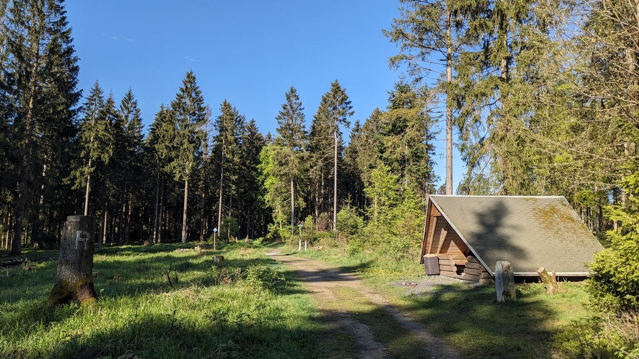
Zwei Tage raus! – Rad-Micro-Adventures in Thüringen
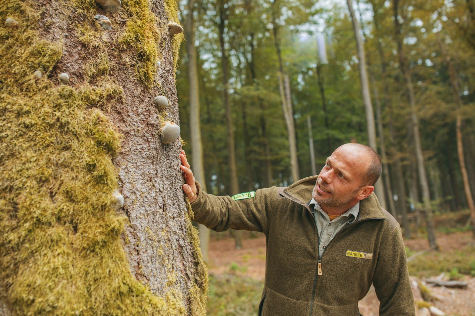
Tipps der Naturpark-Ranger
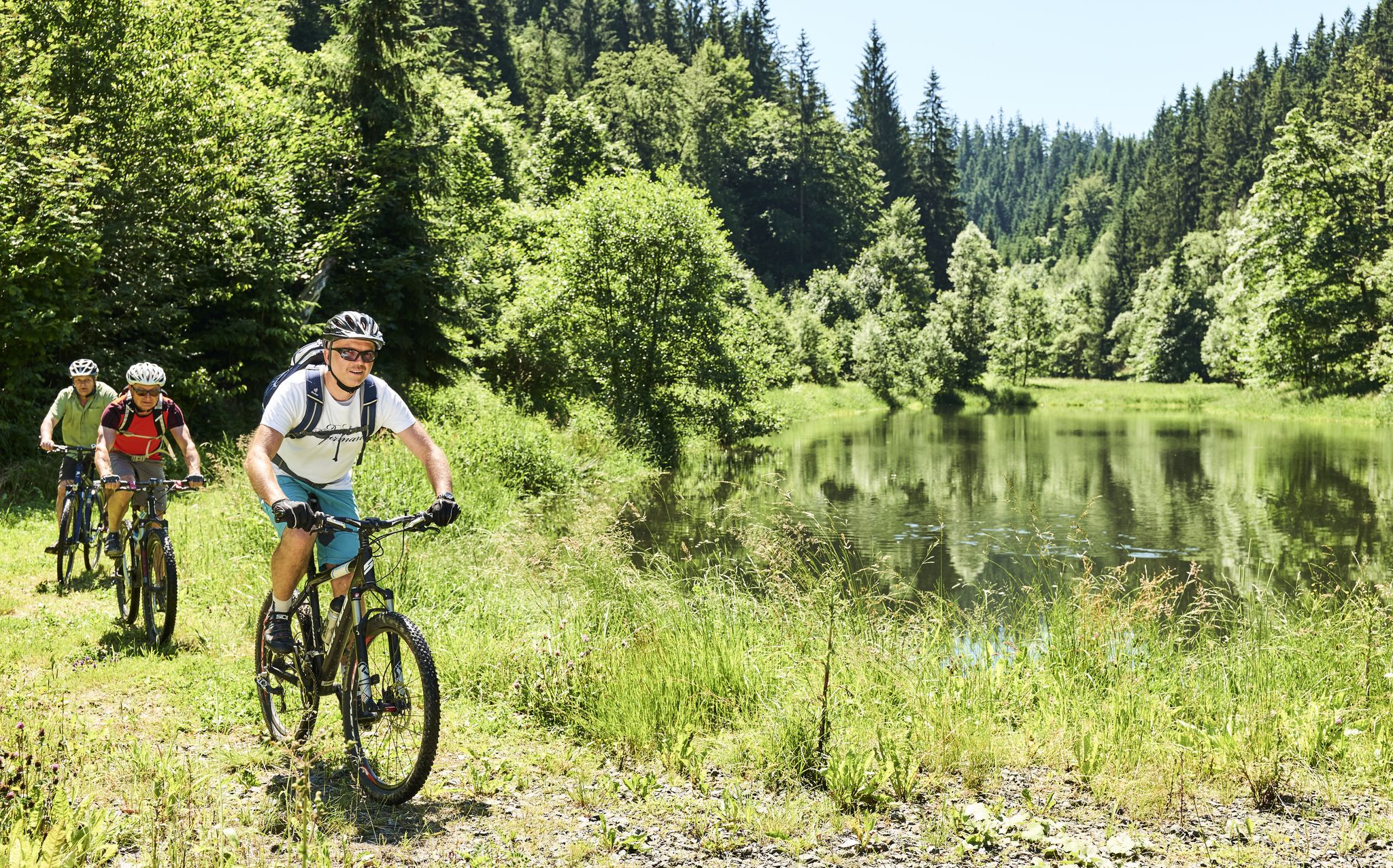
Mountainbiking im Frankenwald
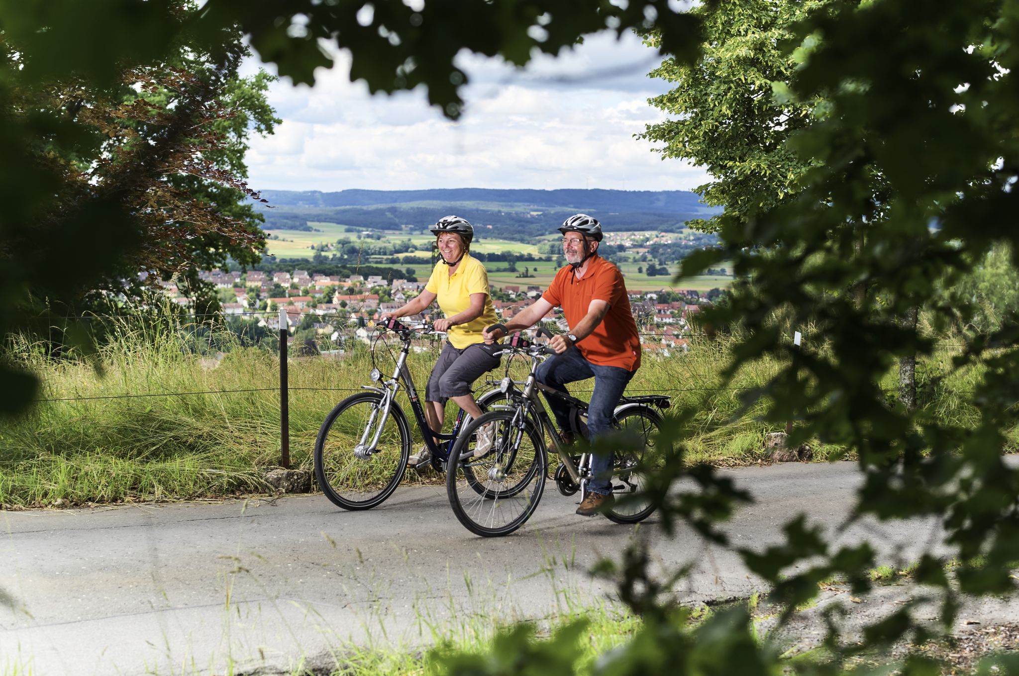
Unsere schönsten Radtouren im Frankenwald

Unsere FrankenwaldSteigla
Hiking around Ludwigsstadt
Cycling around Ludwigsstadt
MTB Trails around Ludwigsstadt
Running Trails around Ludwigsstadt
Gravel biking around Ludwigsstadt
Other adventures around Ludwigsstadt


Tips from the Community

At the Schildwiese rest stop, there is a very special piece of Rennsteig history: a small customs house that is reminiscent of the former division of Germany. It was created by Günther Schmidt from Spechtsbrunn. With a lot of humor, he has designed a place here that recalls the time when the Rennsteig was actually divided by the border. Today, you can hike here without any passport control.
10
0
At the Nature Park Information Center „Kalte Küche“ on the Rennsteig, not only three nature parks meet, but also the three districts of Sonneberg, Kronach and Saalfeld/Rudolstadt. Here you will find information about the landscape, crafts and German-German history, as well as numerous free hiking maps. If you need a break, you can refresh yourself at the Rennsteig snack bar with small meals, drinks, coffee and cake. Opening hours: April to October: Tuesday to Friday 10 am - 4 pm, Saturday and Sunday 11 am - 4 pm. November to March: Tuesday to Friday 10 am - 3:30 pm. Monday is a rest day.
9
0
During the Rennsteig Church Day on June 20, 2009, the memorial at Schildwiese was inaugurated. The metal cross, over four meters high, was designed by the builders from original parts of the old border fence. In front of it, a plaque on a stone block commemorates the people who died in this section of the inner-German border, and all victims of the wall and barbed wire during the German division.
7
0
The "Zollhaus" at the Rennsteig border monument is not a restored historical building. The hut was erected and equipped in autumn 2016 by the Frankenwaldverein Kleintettau. It is intended to commemorate the vibrant customs history of this border region and the era of German division. The monument also includes a historical border stone and two posts with the coats of arms of the Free State of Bavaria and the district of Kronach on one side, and the Free State of Thuringia and the district of Saalfeld-Rudolstadt on the other.
13
0
On the island of the roundabout stands the impressive, approximately eight-meter-high glass obelisk. It is not only a landmark for the traditional glass industry in the Franconian Forest, but also marks the great watershed between the Rhine and the Elbe directly on the Rennsteig. After dark, the obelisk is illuminated from within and shines as a blue column of light.
11
0

The historic customs house on the border between Bavaria and Thuringia near Kleintettau (Markt Tettau) is a reconstructed historic customs station. It is located directly on the legendary Rennsteig hiking trail on the so-called Schildwiese. Today, the small building serves as a historical site and border memorial, commemorating the decades-long inner-German division.
5
0

Crisp climb on great asphalt and hardly any traffic, especially in the after-work hours.
0
0
As early as 1488, a wooden church was mentioned in old documents. It is located about 200 m in the direction of Oelsetal on the old military and trade road Nuremberg-Leipzig and the Rennsteig. The present Evangelical Lutheran church was built in 1746 in the same place. The expenses for the church construction amounted to 1423 thalers, 31 groschen, and 2.5 pfennigs. They were largely covered by donations.
7
0
Frequently Asked Questions
How many road cycling routes are available around Ludwigsstadt?
There are over 90 road cycling routes available around Ludwigsstadt, catering to various skill levels. This includes 2 easy, 62 moderate, and 29 difficult routes, ensuring options for every cyclist.
What kind of terrain can I expect when road cycling in Ludwigsstadt?
Road cycling routes around Ludwigsstadt traverse a diverse landscape at the confluence of the Thuringian Slate Mountains and the Franconian Forest. You can expect a hilly low mountain range with significant elevation changes, often following picturesque river valleys like the Loquitz, providing varied gradients and scenic views.
Are there road cycling routes suitable for beginners in Ludwigsstadt?
Yes, there are a few easier road cycling routes available. While the majority are moderate to difficult, you can find options that are less demanding. Look for routes with lower elevation gain and shorter distances if you're just starting out.
Where can I find challenging road cycling routes with significant climbs near Ludwigsstadt?
For challenging rides, focus on the routes categorized as 'difficult'. An excellent example is the Jagdshofer Ramp – Posseck Climb (17%) loop from Steinbach am Wald, which features over 1,000 meters of elevation gain over 62.8 km, offering a demanding experience through the hilly low mountain range.
Are there any loop road cycling routes in the Ludwigsstadt area?
Many of the road cycling routes around Ludwigsstadt are designed as loops, allowing you to start and finish at the same point. For instance, the popular Cycle Path Near Pressig – Rothenkirchen Market Square loop from Steinbach am Wald is a 67.7 km loop with over 600 meters of elevation gain.
What interesting sights or landmarks can I see along road cycling routes in Ludwigsstadt?
The region offers several interesting sights. You might encounter historical sites like the Göpelschacht Shaft Complex, Lehesten, or the Lehesten Slate Quarry Industrial Heritage Site. For panoramic views, consider routes that pass near the Altvaterturm or Wetzstein Summit.
What is the best time of year for road cycling in Ludwigsstadt?
The best time for road cycling in Ludwigsstadt is typically from late spring to early autumn (May to October). During these months, the weather is generally milder and more stable, making for more enjoyable rides through the hilly terrain and river valleys.
Are there routes that offer scenic viewpoints in Ludwigsstadt?
Absolutely. Given the hilly low mountain range landscape, many routes offer stunning vistas. For example, the View of the Leibis-Lichte Dam – Lichte Viaduct loop from Probstzella provides scenic views. Additionally, routes near summits like Wetzstein Summit are known for their panoramic outlooks.
What do other road cyclists enjoy about the routes in Ludwigsstadt?
The road cycling routes in Ludwigsstadt are highly rated by the komoot community, with an average score of 4.8 stars from over 100 reviews. Cyclists often praise the varied terrain, the dynamic experience offered by the hilly low mountain ranges and river valleys, and the distinct slate architecture found in areas like Lehesten.
Is there public transport access to road cycling routes in Ludwigsstadt?
Ludwigsstadt has a train station, providing some public transport options. While specific route access points may vary, using the train can be a convenient way to reach the starting points of some tours, especially those that are loops or connect different towns.
Where can I park my car when starting a road cycling tour in Ludwigsstadt?
Parking is generally available in and around Ludwigsstadt, particularly in town centers or near popular trailheads. Many routes, such as the Schildwiese Toll House loop from Steinbach am Wald, often start from locations with accessible parking, like Steinbach am Wald.
Are there any cafes or refreshment stops along the road cycling routes?
Given that many routes pass through or near small towns and villages in the region, you will likely find opportunities for refreshment. It's advisable to check the route details or a map beforehand to identify specific cafes or restaurants along your chosen path.
Most popular attractions around Ludwigsstadt

Get inspired with the komoot mobile app


Explore more
Browse the best Road cycling routes in other regions.
